Coastal Point to point

Cramond Brig to South Queensferry shore walk

Walk

Lothian

Distance
6.0 mi
Est. time
3h 30m
Difficulty
Medium
PaulWalkmates Route by PaulWalkmates

Save the route to find it later. Follow it to hear when a date is added.

About this walk

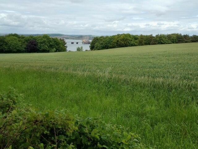
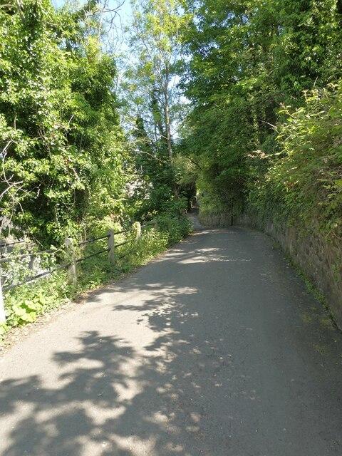
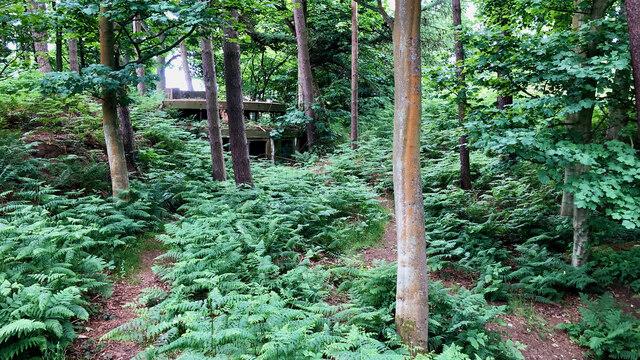
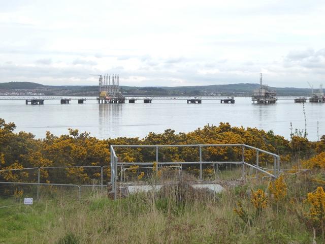
Start at the west end of Cramond Old Brig and follow Cramond Brig Toll to the signed John Muir Way through the Dalmeny Estate. The route follows tracks and woodland paths towards the Forth, passing the Eagle Rock area and the shore near Dalmeny House and Barnbougle Castle. Continue past Fishery Cottage and Longcraig, beneath the Forth Bridge, and along the waterfront streets to finish on the pavement beside The Loan in South Queensferry. The town section is shown by its street alignment on the map: use the pavements, not the carriageway, and cross side roads carefully.

This is a one-way walk: arrange your return before setting out. Keep dogs on leads through the working estate. Paths can be muddy or icy in winter, with fallen branches after wind; avoid exposed shore sections during strong winds, storm waves or flooding. Stay on the signed path above the beaches and follow local notices.

Allow around three and a half hours of walking, plus breaks; this is an estimate. Leave sufficient daylight for the woodland and shore sections. The beaches, Cramond Island causeway and Hound Point spur are not part of this route.

Official shore-walk information: https://www.theforthbridges.org/visit-the-local-area-forth-bridges/see-do/south-queensferry/shore-walk-to-cramond/

Walk details

County
Lothian
Main location
Cramond Bridge
Nearby town
Cramond Bridge
Walk type
Point to point
Category
Coastal
Distance
6.0 mi (9.6 km)
Est. time
3h 30m
Explorer
Yes, off the beaten track

Route map

Use the route details to plan your walk

If the map image does not load, the route description and starting-point details are still on this page.

The interactive map will load when you reach this section.

Where to start

Directions to start

Walking on your own?

Start when you're ready and add the walk to your history. No group date needed.

Make this route part of your day

For walkers

Saving and preparing a route

Watch: portrait video or landscape video.

Saving and preparing a route

Read the steps
  1. Open a route and read the practical notes.
  2. Save it to your Saved Walks, then open it again from there.
  3. Check the route map and elevation profile before setting off. Reopen the details on the day.

Saved Walks needs an account. Reopening the website needs a connection; check access, weather and your own navigation before you go.
See how to plan a walk with others

This walk is waiting for a date

Not ready to pick a date? Follow it and you'll hear when somebody else does.

No commitment. You can follow it now and pick a date later.

Along the route

40 places
Guidepost
Navigation
Parking
Essentials ยท 0.0 mi along
Miller & Carter
Restaurant ยท 0.0 mi along
Parking
Essentials ยท 0.1 mi along
Guidepost
Navigation ยท 0.1 mi along
Dalmeny Estate
Information ยท 0.1 mi along
Parking
Essentials ยท 5.3 mi along
Honey Pot Creative Cafe
Cafe ยท 5.3 mi along
Parking
Essentials ยท 5.4 mi along
Hawes Inn
Pub ยท 5.4 mi along
Toilets
Essentials ยท 5.4 mi along
Bikers Cove
Cafe ยท 5.4 mi along
Toilets
Essentials ยท 5.5 mi along
Parking
Essentials ยท 5.5 mi along
Hawes
Guidepost ยท 5.5 mi along
Parking
Essentials ยท 5.5 mi along
The Railbridge Bistro
Restaurant ยท 5.5 mi along
Thirty Knots
Pub ยท 5.5 mi along
Toilets
Essentials ยท 5.5 mi along
Drinking Water
Essentials ยท 5.6 mi along
Toilets
Essentials ยท 5.6 mi along
Thirty Knots parking
Parking ยท 5.6 mi along
Seals Craig
Guidepost ยท 5.6 mi along
Top Up Tap
Drinking Water ยท 5.6 mi along
Anchor Inn
Pub ยท 5.7 mi along
High Street
Guidepost ยท 5.8 mi along
Manna House Bakery
Cafe ยท 5.8 mi along
Parking
Essentials ยท 5.8 mi along
Town Cryer
Shop ยท 5.8 mi along
Parking
Essentials ยท 5.8 mi along
The Ferry Tap
Pub ยท 5.8 mi along
Picnic
Cafe ยท 5.8 mi along
Brew Culture Coffee & Tea
Cafe ยท 5.8 mi along
Toilets
Essentials ยท 5.8 mi along
Toilets
Essentials ยท 5.9 mi along
Roguebros at The Boat House
Restaurant ยท 5.9 mi along
The Staghead Hotel
Pub ยท 5.9 mi along
The Little Bakery
Cafe ยท 5.9 mi along
Bellstane
Guidepost ยท 5.9 mi along
Queen's Spice
Restaurant ยท 5.9 mi along

Terms of Service

Joining a walk

A few things to know before you make plans.

Can I join if no one else is going?

You can be the first to join a scheduled walk. A suggested date is an idea for a group walk; choose Set this date up to organise it. Check the participant list and meeting details before setting off.

What if there is no date yet?

Choose Put a date on this walk to organise a group walk. Not ready to choose a day? Follow the route for scheduling updates, or save it for later.

What does the organiser do?

The organiser sets the date and meeting details and helps the group get started. They are a fellow walker and may be new to the route too.

Each walker is responsible for their own safety and navigation. Check the route, weather, equipment and whether the walk suits your experience and fitness.

Can I walk this route on my own?

Yes. Choose Walk this route on your own to open the start screen, then start when you are ready. Finish the walk to add it to your walking history. You do not need a group date.

What happens after I join?

Use the walk page to check meeting details, updates and who is going. Check in from 24 hours before the start to let the group know you still plan to come.

How do I confirm plans with the group?

Check the participant list and check-ins, and message the organiser or other walkers to confirm where to meet and who is coming. This is especially useful when the group is small.