

East Cairn Hill
Good walks are even better shared.
NT1259 : Snow remnants on East Cairn Hill
Alan O'Dowd Photo source
Overview
East Cairn Hill: A Gem in the Scottish Borders
East Cairn Hill stands at 626 meters and boasts stunning views that are only a stone's throw away from the hustle and bustle of the nearby town of Peebles. It's classified as a Marilyn, which means it rises prominently from the surrounding landscape.
Getting There
The primary access point is via the Whitelaw Brae Route, a moderate trek that is relatively straightforward yet rewarding. Starting from a small parking area, this route tempts you with gently sloping hills, and before you know it, you’ll be at the top, almost wondering if you should have packed a picnic instead of just a bottle of water.
The Ascent
This 5.5 km route is a delightful adventure. As you ascend, the grassy terrain occasionally battles it out with rocky outcrops, ensuring you keep your eye on the ground (and the views!). Don’t be surprised if the weather changes more often than a cat changes its posture—pack accordingly!
Summit Features
Upon reaching the summit, you’re greeted by a well-made cairn and a trig point. Perfect for posing with your mates for that Instagram shot—or for your solo selfie with the triumphant look of someone who has conquered a hill.
Geological Wonders
East Cairn Hill has its roots tied to volcanic action, which means you can tick off two boxes at once: a beautiful walk and a geology lesson. The area offers an impressive display of basalt formations and scree slopes that may inspire you to reconsider your next hobby as a geologist.
Views to Die For
The expansive views from the top are nothing short of breathtaking, especially when the sun is setting, casting dramatic shadows across the valley. Keep your eyes peeled for the Eildon Hills greeting you from afar—they’re not shy! The best times to relish these vistas are during the spring or autumn when nature really shows off its colours.
What to Watch Out For
As with all Scottish trails, the terrain can be slippery, particularly after rain. So, it's best to make sure your walking boots have had a proper wash and can grip like a cat on a hot tin roof.
Nearby Attractions
If you fancy extending your adventure, nearby summits include West Cairn Hill and Dun Rig, both worthy companions for a day’s hiking.
In Conclusion
East Cairn Hill is more than just a walk in the park (it’s definitely not a park, mind you!). It’s a lovely day out in the Scottish Borders packed with historical significance, geological wonders, and views that can make anyone swoon. What more could you ask for?
So grab your walking boots and make your way to this little slice of adventure. You won’t regret it!
Explore routes near East Cairn Hill
Walks starting near this hill. Open a route to check its map, distance and full itinerary.
East Calder: Almondell, Mandela Bridge and River Almond Circuit
View route
Artists’ walk in Craigmillar Castle Park (group meeting)
View route
Linlithgow: Beecraigs Loch and Southern Woodland Circuit
View route
To Absent Friends: Holyrood Park walk
View route
Route planning notes
These notes describe possible approaches. Check a route's map and access information when planning your walk.
Whitelaw Brae Route
A scenic ascent starting from Whitelaw Brae, taking you through gentle slopes and enjoying views over the rolling hills.
Make a day of it, together
Find someone to share the walk with, or organise a day out along a route you like.
Photo Gallery
View all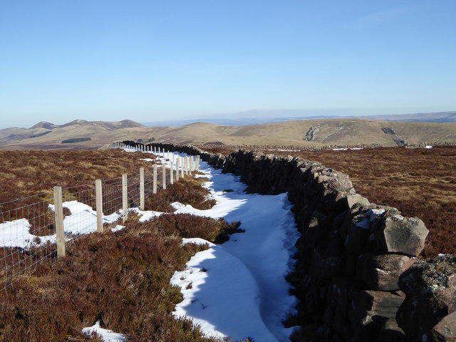 Photo could not load
NT1259 : Snow remnants on East Cairn Hill
Alan O'Dowd
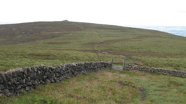 Photo could not load
NT1259 : East Cairn Hill
Richard Webb
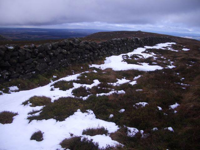 Photo could not load
NT1259 : East Cairn Hill
Callum Black
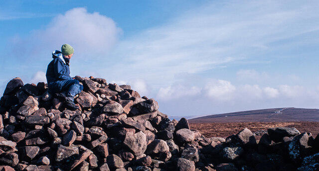 Photo could not load
NT1259 : Looking out on East Cairn Hill
Trevor Littlewood
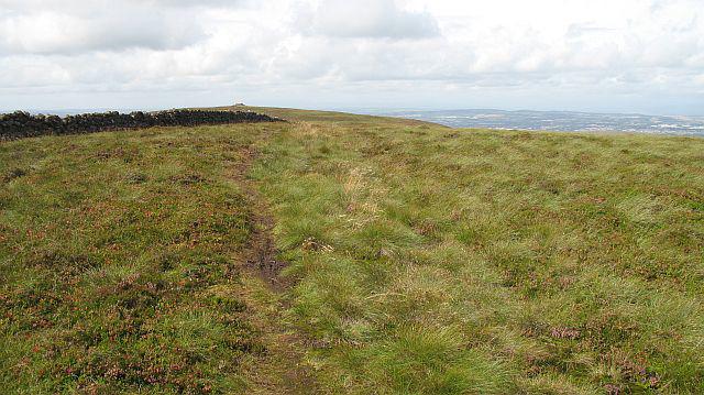 Photo could not load
NT1259 : East Cairn Hill
Richard Webb
Hill facts and local notes
Classifications
Elevation
567m
1,860 ft
Prominence
172m
Coordinates
55.8192, -3.3932
NT128593
OS Map
65 72
Explorer: 344
At the Summit
The summit is marked by a prominent cairn and offers a trig point for those who enjoy collecting summits like stamps in a passport.
Terrain & Geology
East Cairn Hill is predominantly composed of volcanic rock, including basalt formations that offer a glimpse into the region's ancient geological past. The hill features interesting scree slopes and craggy outcrops.
Views & Scenery
Views stretch over the surrounding hills and valleys, including the distant sight of the Eildon Hills and the Tweed Valley.
History & Heritage
Name Origin
The name 'Cairn' refers to the traditional Scottish stone pile used as a trail marker, indicative of the hill's history of human passage.
Historical Significance
The hill has been a point of interest for local hikers and serves as a natural landmark in the region, with deep-rooted cultural connections to the landscape.
Getting There & Facilities
Parking
There is a small parking area at the start of the Whitelaw Brae trail, which can accommodate a few cars.
Public Transport
Buses operate from nearby towns such as Innerleithen. Check local schedules for the latest times.
Nearby Facilities
Peebles offers several cafes, shops, and public toilets, making it a great place to stock up before your hike.
Safety Information
Known Hazards
- Beware of sudden weather changes and the possibility of slippery ground, especially in wet conditions.
General Safety Tips
- Check weather conditions before setting out
- Carry appropriate clothing and equipment
- Let someone know your planned route
- Take a map, compass, and GPS device
- Carry emergency supplies: food, water, first aid kit, torch
Hills
Some common questions about the hills answered
Are there group walks up East Cairn Hill?
Many walkers use Walkmates to join or organise walks with others. You can check for group walks around East Cairn Hill through the maps
Are there other walkers around East Cairn Hill?
Activity varies by location and time, but Walkmates lets you see whether others have shared walks or shown interest in this area. Find other people through the walking friends search walking friends for East Cairn Hill search or of course create your own walk for East Cairn Hill
Can I organise a walk to East Cairn Hill?
Yes. If there aren’t any walks listed already, you can create a walk and make it available for others to join.
If you're signed up to Walkmates, you can create a walk to East Cairn Hill.
How do I find a walk up this hill?
There are often multiple ways to walk this hill, depending on experience and route preference. Walkmates helps you explore walks and routes that others have shared.
Can I suggest a new route up East Cairn Hill?
Yes. You can suggest or create routes to share with others. Walkmates focuses on the social side of walking, so routes are used to help people organise walks and explore areas together, rather than as detailed navigation tools or route libraries.
Other uses really appreciate knowledgeable walkers sharing their routes. Share your favourite route to East Cairn Hill here
The is an error or something incorrect about this hill. How do I let you know?
We always strive to keep the information on Walkmates as accurate as possible. If you find an error, please let us know through the contact form and we'll aim to correct it as quickly as possible
Community Discussion
Comments
Location
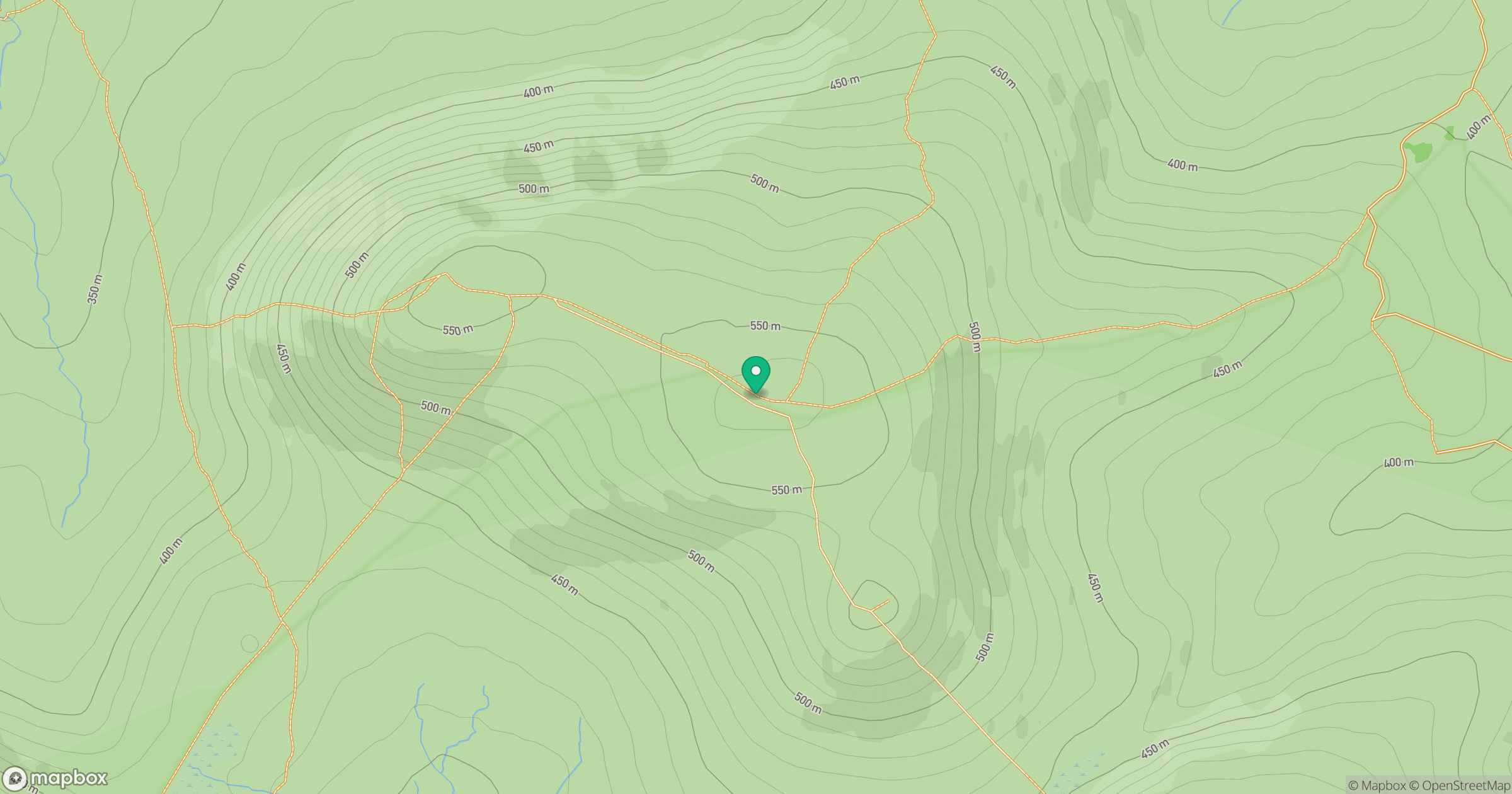
Grid reference: NT128593
View on OpenStreetMapOpens a map in a new tab, centred on the hill.


No comments yet. Be the first.