
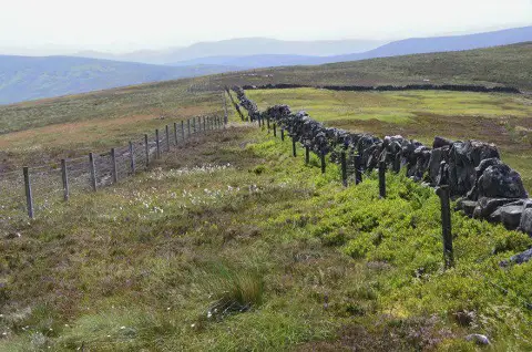
West Cairn Hill
Good walks are even better shared.
Overview
West Cairn Hill
Welcome to West Cairn Hill, a charming little Marilyn in the Southern Uplands of Scotland. At an elevation of 273 meters, it's not the highest peak around, but its views and character more than make up for it.
Geology
The geology of West Cairn Hill is a delightful mixture of sedimentary rocks dating back to the Carboniferous period. You'll find limestone outcrops dotted around, remnants of a time when this area was swathed in ancient seas. Keep your eyes peeled for interesting fossils which may add a dash of history to your hike.
Routes
One of the most popular ways to tackle West Cairn Hill is the Cairnhead Trail. This moderately challenging route is about 6.5 km and usually takes around 2.5 hours, depending on how often you stop for those Instagram moments. The trail winds through delightful woodlands before ushering you up the slopes, where anticipation builds for the summit reveal.
Summit Features
When you finally reach the top, you'll be greeted by a triumphant rock cairn and a trig point that is probably just as pleased to see you as you are to see it. Snap a few photos and revel in the sense of achievement.
Terrain Type
Prepare for grassy hillsides sprinkled with rocky patches. It's the kind of terrain that feels soft underfoot in dry weather, but might turn mischievous after some rain.
Views
The views from the summit are nothing short of spectacular! Look to the north for the Galloway Hills and to the south for the Solway Firth. On clear days, you might even spot the Isle of Man—just don’t forget your binoculars! Spring and Autumn are particularly wonderful times for this hike, as flowers bloom in a riot of colours and the hills come alive.
Hazards
Be warned: the weather in this region can change faster than you can say 'You’ll never guess what happened next!' A sunny day can quickly morph into something akin to a Scottish downpour, so packing a waterproof jacket is always a good idea. Slippery rocks can also be found, especially when it’s wet, so watch your step!
Nearby Summits
If you're feeling particularly adventurous, consider adding nearby Kirkconnel Hill and Black Hill to your itinerary. Both offer further excitement and views.
Access
The nearest parking is at the Cairnhead car park, which is conveniently located near the trailhead. For those relying on public transport, Sanquhar is the best bet, though be prepared for limited options. You might fancy bringing your bicycle if you're feeling a bit sporty!
Facilities
Before or after your hike, pop into one of the local cafes in Sanquhar for a well-deserved scone and a cuppa. Just don’t go overboard; you’ll want some energy left for the climb back to your vehicle!
History
The name 'West Cairn Hill' refers to the numerous stone piles or 'cairns' that dot the landscape. Historically, these cairns were used as markers, helping shepherds and wanderers alike navigate the rugged terrain. It’s a silent testament to the hill’s vital role in the region’s heritage.
So, gear up and set off for West Cairn Hill, where the scenery is as uplifting as the hike itself!
Explore routes near West Cairn Hill
Public walks starting within 80 km of this hill. Nearby does not mean a route reaches the summit; check its map and access before setting out.
East Calder: Almondell, Mandela Bridge and River Almond Circuit
View route
Water of Leith: Slateford to Leith
View route
Cramond Brig to South Queensferry shore walk
View route
Linlithgow: Beecraigs Loch and Southern Woodland Circuit
View route
Route planning notes
These notes describe possible approaches, not verified navigable routes or permission to cross land. Check current paths, local access rules and conditions before setting out.
Cairnhead Trail
A scenic route starting from the Cairnhead car park, leading through lush woodlands and up to the grassy slopes of West Cairn Hill.
Make a day of it, together
Find someone to share the walk with, or organise a day out along a route you like.
Photo Gallery
View all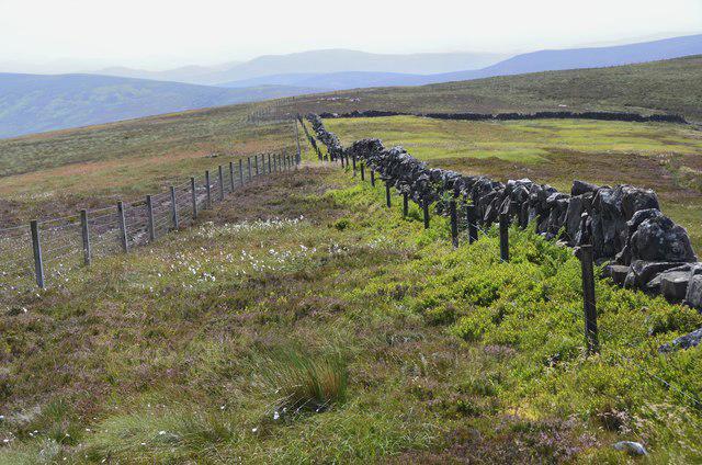 Photo could not load
NT1058 : South from the summit of West Cairn Hill
Jim Barton
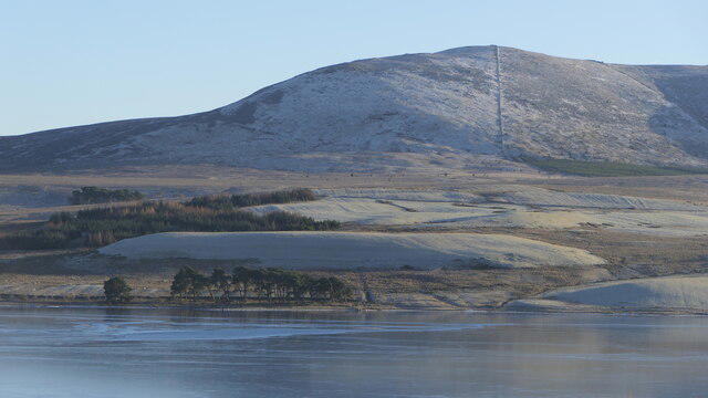 Photo could not load
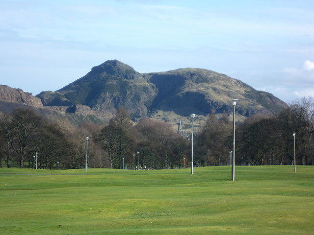
NT1058 : West Cairn Hill
Richard Webb
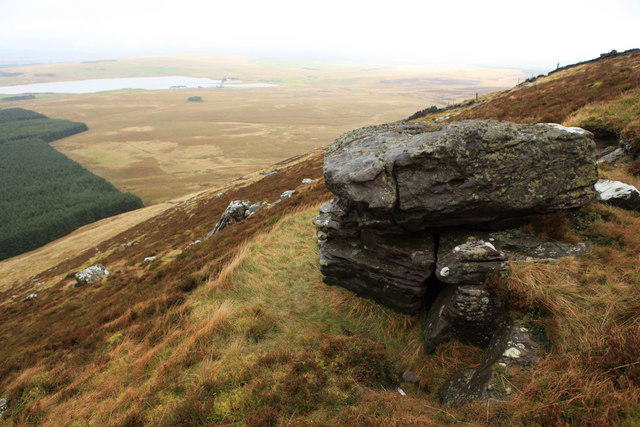 Photo could not load
NT1058 : Outcrop on West Cairn Hill
Calum McRoberts
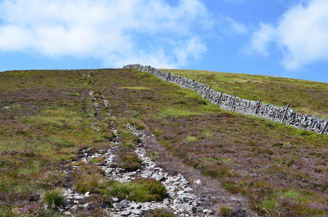 Photo could not load
NT1058 : Nearing the summit, West Cairn Hill
Jim Barton
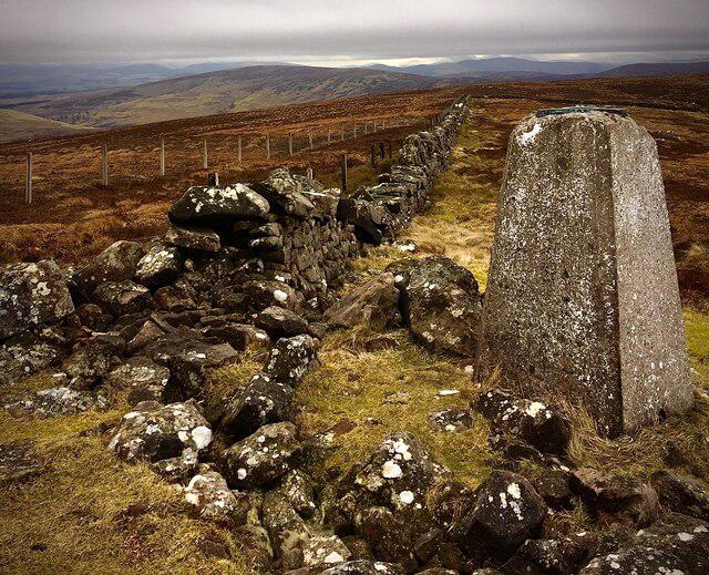 Photo could not load
NT1058 : The Summit of West Cairn Hill 562m
Iain Lees
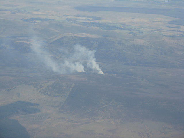 Photo could not load
NT1058 : Muirburn on West Cairn Hill
M J Richardson
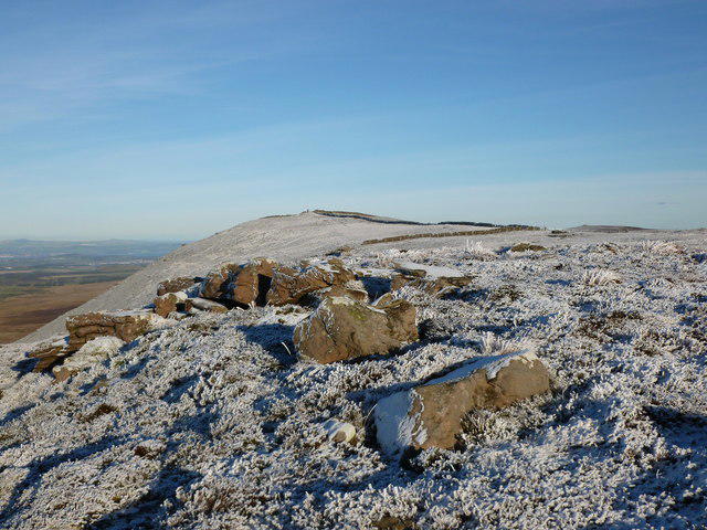 Photo could not load
NT1058 : Rocks on West Cairn Hill
Alan O'Dowd
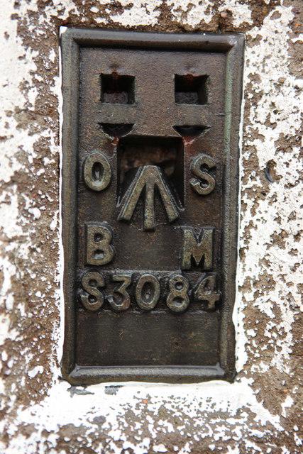 Photo could not load
NT1058 : S3084 Trig Point on West Cairn Hill
Calum McRoberts
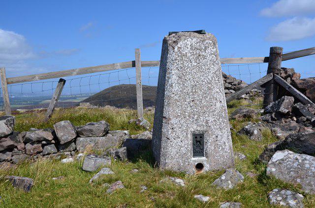 Photo could not load
NT1058 : Summit trig point, West Cairn Hill
Jim Barton
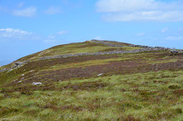
NT1058 : West Cairn Hill from the south
Jim Barton
Hill facts and local notes
Classifications
Elevation
562m
1,844 ft
Prominence
133m
Coordinates
55.8106, -3.4259
NT107584
OS Map
65 72
Explorer: 344
At the Summit
The summit features a prominent rock cairn, perfect for those essential victory selfies. A small trig point marks the highest point, likely feeling very pleased with itself.
Terrain & Geology
West Cairn Hill is primarily composed of sedimentary rocks that date back to the Carboniferous period. The eroded hilltop has fascinating limestone features, indicative of the region's geological history.
Views & Scenery
Stunning views of the Galloway Hills to the north and the Solway Firth to the south on a clear day. Keep an eye out for local wildlife, including deer and various bird species.
History & Heritage
Name Origin
West Cairn Hill derives its name from the Gaelic 'cairn', referring to the abundance of stone piles found throughout the area, and 'West' designates its geographic position.
Historical Significance
The hill has been a local landmark for generations, often used as a reference point by shepherds and explorers in the area.
Getting There & Facilities
Check current local access restrictions, parking rules and transport timetables before travelling. These notes do not confirm public access to the summit.
Parking
Cairnhead car park, a well-maintained space that can accommodate several vehicles. It’s a short walk from the car park to the foot of the hill.
Public Transport
The nearest town, Sanquhar, has limited bus services. It might be easier to bring your own chariot – or, you know, bicycle.
Nearby Facilities
Sanquhar has several small cafes and shops. Toilets are available at the car park, which is a blessing as nature calls at the most inconvenient times.
Safety Information
Known Hazards
- Beware of sudden weather changes; the forecast can be about as reliable as a politician's promise. Also, watch out for slippery rocks, particularly after rain.
General Safety Tips
- Check weather conditions before setting out
- Carry appropriate clothing and equipment
- Let someone know your planned route
- Take a map, compass, and GPS device
- Carry emergency supplies: food, water, first aid kit, torch
Hills
Some common questions about the hills answered
Are there group walks up West Cairn Hill?
Many walkers use Walkmates to join or organise walks with others. You can check for group walks around West Cairn Hill through the maps
Are there other walkers around West Cairn Hill?
Activity varies by location and time, but Walkmates lets you see whether others have shared walks or shown interest in this area. Find other people through the walking friends search walking friends for West Cairn Hill search or of course create your own walk for West Cairn Hill
Can I organise a walk to West Cairn Hill?
Yes. If there aren’t any walks listed already, you can create a walk and make it available for others to join.
If you're signed up to Walkmates, you can create a walk to West Cairn Hill.
How do I find a walk up this hill?
There are often multiple ways to walk this hill, depending on experience and route preference. Walkmates helps you explore walks and routes that others have shared.
Can I suggest a new route up West Cairn Hill?
Yes. You can suggest or create routes to share with others. Walkmates focuses on the social side of walking, so routes are used to help people organise walks and explore areas together, rather than as detailed navigation tools or route libraries.
Other uses really appreciate knowledgeable walkers sharing their routes. Share your favourite route to West Cairn Hill here
The is an error or something incorrect about this hill. How do I let you know?
We always strive to keep the information on Walkmates as accurate as possible. If you find an error, please let us know through the contact form and we'll aim to correct it as quickly as possible
Community Discussion
Comments
Location
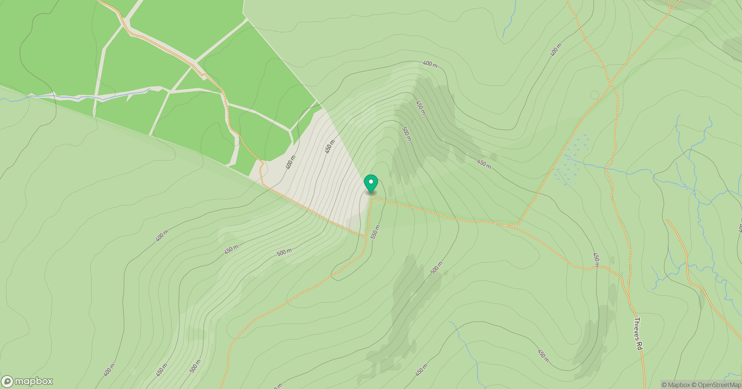
Grid reference: NT107584
View on OpenStreetMapOpens a map in a new tab, centred on the hill.
Hills within 30 km
Straight-line distance, not a walking route or confirmation of access.

No comments yet. Be the first.