

Carnedd Wen
Good walks are even better shared.
Overview
Carnedd Wen
Nestled within the majestic Snowdonia National Park, Carnedd Wen stands proud at 947 meters, offering a slice of adventure that'd warm the heart of any outdoor enthusiast. Known as the 'White Cairn', this imposing peak is a must-visit for anyone who revels in the splendour of nature and a good old-fashioned hike.
Geology
Carnedd Wen is composed of slate and schist, which not only makes it a sturdy climb but also tells a geological tale of the ancient earth. The rock formations are not just invitingly colourful but brimming with history. One could almost say it's a textbook of Welsh geology just waiting for you to flip through its pages!
Routes
For those venturing forth, there are several routes leading to the summit.
- Via the Carneddau Horseshoe: A challenging 12.5-kilometre trek, this route offers both stunning views and a fulfilling sense of accomplishment. Expect to spend around 5 hours on this adventure, though a determined spirit may push you to linger longer to soak in the breathtaking vistas.
- Starting from Bethesda: If you're looking for a moderate yet engaging climb, this 8-kilometre path is your ticket. This route will take about 3 hours and provides a delightful introduction to summertime hiking in Snowdonia.
Summit Features
Upon reaching the top, climbers are greeted by a sizable stone cairn and spectacular rock outcrops – perfect for those Instagram shots or just a moment of quiet reflection. Some even say the cairn has a better view than you do!
Terrain Type
The terrain is a mixture of rocky outcrops, grassy trails, and the occasional bog, which serves as a gentle reminder that Mother Nature enjoys a good laugh at our expense.
Views
Summer brings forth the best visibility from the summit, opening views of Tryfan, the Glyderau range, and on exceptional days, even the Irish Sea!
Hazards
As beautiful as the hike is, vengeful weather can strike at any time in these parts. Keep an eye out for loose rocks and always check the forecasts before embarking.
Nearby Summits
Other notable peaks in the area include:
- Carnedd Dafydd: Standing at 1,044 meters, it’s the taller sibling you might want to visit next.
- Elidir Fawr: At 749 meters, it’s like the gentle giant; still impressive but a bit less daunting.
Access
Getting to Carnedd Wen is easily manageable. The Ogwen Cottage car park is your nearest spot, albeit a popular one! For those eschewing the car, don’t fret – local buses service nearby towns like Bethesda, so you can hop on and off with minimal fuss.
Facilities
After your hike, head back to Bethesda for cafes and shops to refuel. You'll likely need a hot chocolate or coffee to share stories of adventure (and possibly muddy boots).
History
The name 'Carnedd Wen' not only reflects the mountain's significant elevation and stature but is also a reminder of its historical presence in Wales – a beacon for climbers and nature lovers alike.
In short, whether you’re after breathtaking scenery or an excuse to stretch your legs, Carnedd Wen is well worth the hike! Just remember, it’s not always about the mountain but the tales you gather along the way.
Explore routes near Carnedd Wen
Public walks starting within 80 km of this hill. Nearby does not mean a route reaches the summit; check its map and access before setting out.
Waun-oer, Maesglase and Cribin Fawr guided mountain walk
View route
Aran Benllyn and Aran Fawddwy from LLanuwchllyn
View route
Mawddach Trail: Dolgellau to Barmouth
View route
Cadair Idris - Pony Path
View route
Route planning notes
These notes describe possible approaches, not verified navigable routes or permission to cross land. Check current paths, local access rules and conditions before setting out.
Via the Carneddau Horseshoe
This classic route takes you around the breathtaking Carneddau massif, offering stunning views and a chance to traverse several summits.
Starting from Bethesda
A more accessible route suitable for most fitness levels, starting from the town of Bethesda and leading up through scenic valleys.
Make a day of it, together
Find someone to share the walk with, or organise a day out along a route you like.
Photo Gallery
View all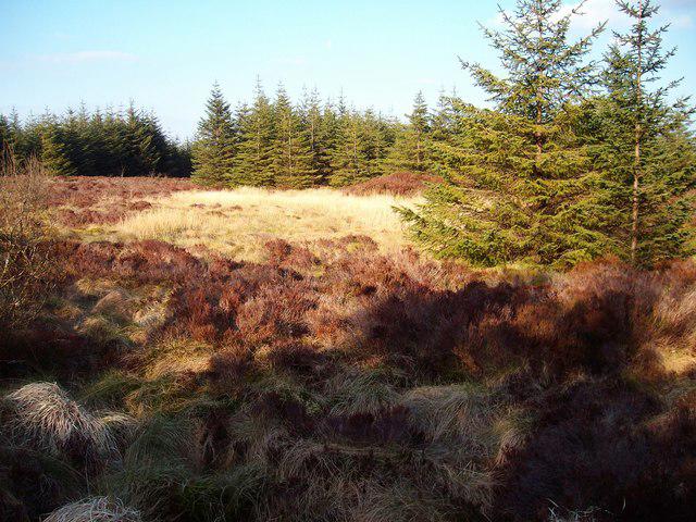 Photo could not load
SH9210 : A dry one
Anton Ciritis
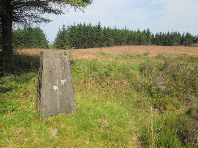 Photo could not load
SH9209 : Ordnance Survey Triangulation Pillar
Adrian Dust
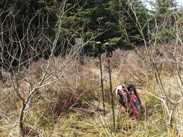 Photo could not load
SH9209 : Carnedd Wen
Rude Health
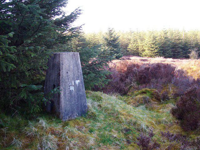 Photo could not load
SH9209 : Carnedd Wen
Anton Ciritis
Hill facts and local notes
Classifications
Elevation
523m
1,716 ft
Prominence
231m
Coordinates
52.6763, -3.5928
SH924099
OS Map
125
Explorer: OL23E 215W
At the Summit
The summit features a substantial stone cairn and an impressive rock outcrop, which doubles up as a breathtaking viewpoint. Don’t forget to take a selfie with it – rock stars deserve their moment too!
Terrain & Geology
Carnedd Wen is primarily composed of slate and schist, common rock types in the Snowdonia region, offering not just a sturdy platform for your ascent but also hints at the region's geological history. The beautiful purple and grey hues of the rock formations add to the mountain's charm.
Views & Scenery
From the summit, gaze upon the sprawling vistas of the Snowdonia National Park, including views of Tryfan, the Glyderau range, and beyond, with the distant Irish Sea visible on clear days.
History & Heritage
Name Origin
The name 'Carnedd Wen' translates roughly to 'White Cairn', a nod to the summit's often snow-capped peaks and its prominent stone marker.
Historical Significance
Carnedd Wen is integral to the history of mountain climbing in Wales, renowned for its scenic beauty and challenging terrain, drawing adventurers for generations.
Getting There & Facilities
Check current local access restrictions, parking rules and transport timetables before travelling. These notes do not confirm public access to the summit.
Parking
Parking is available at the Ogwen Cottage car park, approximately 5 km from the mountain's base. Be aware that it can get busy.
Public Transport
Regular bus services run from nearby towns like Bethesda and Llanberis to Ogwen, making car-free visits feasible.
Nearby Facilities
The nearest facilities can be found in Bethesda, including cafes, local shops, and public toilets to refresh after your hike.
Safety Information
Known Hazards
- Potential rockfall in steep areas, sudden changes in weather, and low visibility in mist are common hazards to keep in mind. Make sure to check forecast conditions before heading up.
General Safety Tips
- Check weather conditions before setting out
- Carry appropriate clothing and equipment
- Let someone know your planned route
- Take a map, compass, and GPS device
- Carry emergency supplies: food, water, first aid kit, torch
Hills
Some common questions about the hills answered
Are there group walks up Carnedd Wen?
Many walkers use Walkmates to join or organise walks with others. You can check for group walks around Carnedd Wen through the maps
Are there other walkers around Carnedd Wen?
Activity varies by location and time, but Walkmates lets you see whether others have shared walks or shown interest in this area. Find other people through the walking friends search walking friends for Carnedd Wen search or of course create your own walk for Carnedd Wen
Can I organise a walk to Carnedd Wen?
Yes. If there aren’t any walks listed already, you can create a walk and make it available for others to join.
If you're signed up to Walkmates, you can create a walk to Carnedd Wen.
How do I find a walk up this hill?
There are often multiple ways to walk this hill, depending on experience and route preference. Walkmates helps you explore walks and routes that others have shared.
Can I suggest a new route up Carnedd Wen?
Yes. You can suggest or create routes to share with others. Walkmates focuses on the social side of walking, so routes are used to help people organise walks and explore areas together, rather than as detailed navigation tools or route libraries.
Other uses really appreciate knowledgeable walkers sharing their routes. Share your favourite route to Carnedd Wen here
The is an error or something incorrect about this hill. How do I let you know?
We always strive to keep the information on Walkmates as accurate as possible. If you find an error, please let us know through the contact form and we'll aim to correct it as quickly as possible
Community Discussion
Comments
Location
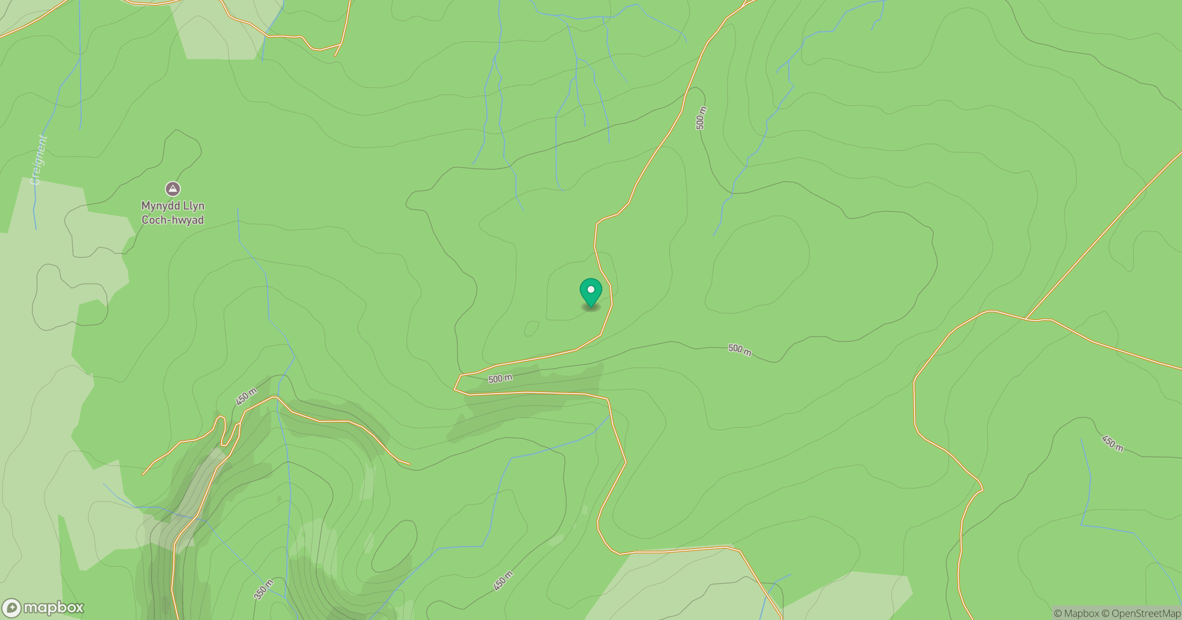
Grid reference: SH924099
View on OpenStreetMapOpens a map in a new tab, centred on the hill.
Hills within 30 km
Straight-line distance, not a walking route or confirmation of access.
Aran Fawddwy
906m
Pumlumon Fawr [Plynlimon]
753m
Arenig Fawr
854m
Cadair Berwyn
832m
Cadair Idris - Penygadair
893m
No comments yet. Be the first.