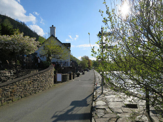
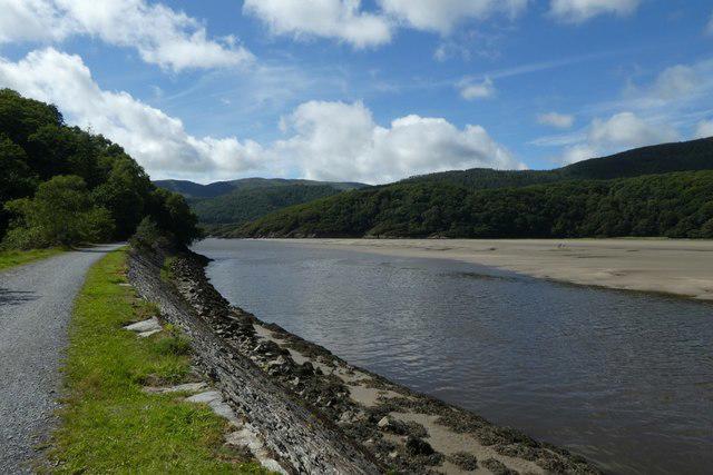
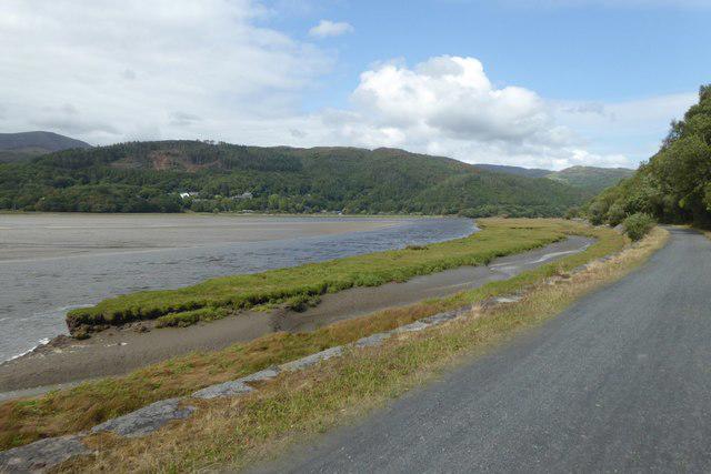
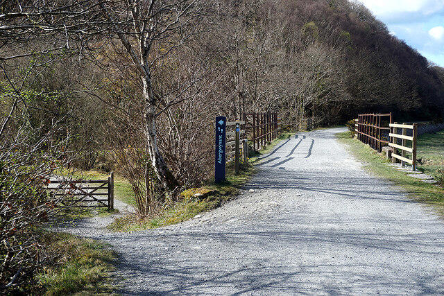
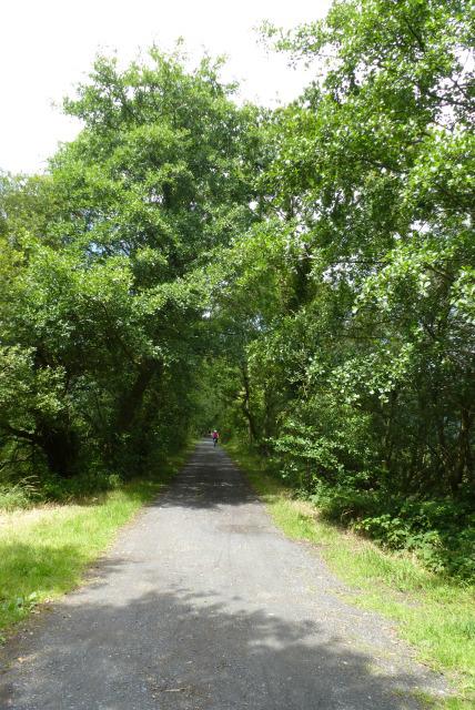
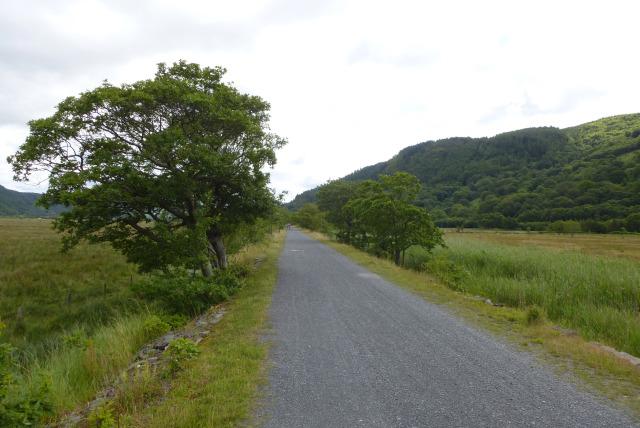
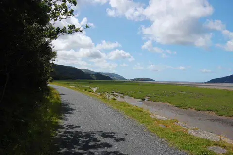
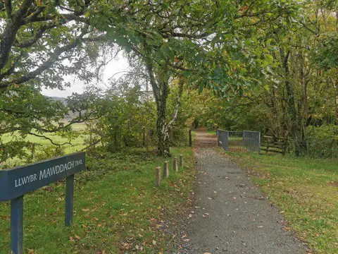
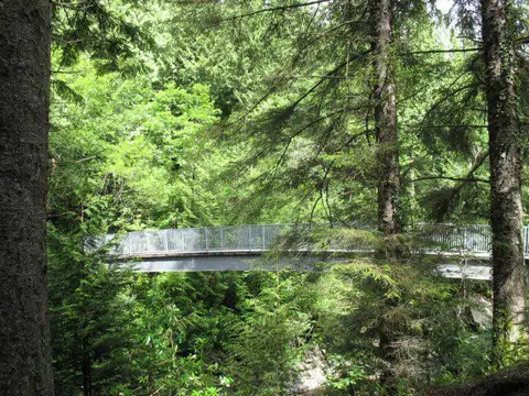
Follow the full Mawddach Trail from Dolgellau to the Barmouth end of the estuary bridge. The old railway line gives an easy-going journey through riverside woodland and open estuary scenery, with Penmaenpool and Morfa Mawddach along the way. The long timber crossing makes a memorable finish. This is a 14.4 km one-way walk: arrange your return before setting off. Expect shared paths, a short A493 road interface and exposed conditions on the bridge. Keep to the trail and check current access notices.
Start and parking: Meet at the trail entrance, 52.7445409, -3.8860568. For this long one-way day use an appropriate long-stay space at Marian rear, then walk to the marked start; the front car park is short stay. Parking approach is not counted as route mileage. LL40 1DL (official trail start area) Current daily tariff and payment method not verified; check the council/machine. Do not advertise free parking. Current car-park gate hours not verified. Council lists Marian rear as long stay, and Marian front as short stay. Eryri lists accessible toilets at the principal settlements/access points; no individual opening hours or guaranteed availability verified.
Finish on the northern bridge approach path, within 0.5 m of Eryri’s official endpoint marker and before the A496 carriageway junction. Do not step into the road. Barmouth town centre, bus stops and railway station are onward travel, excluded from measured geometry.
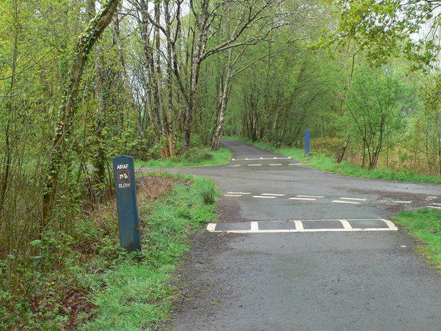
Terrain and timing: Mainly broad former-railway paths with compacted surfaces, local asphalt, shared-use sections and timber bridge decking. A short A493 connection and service-access sections are retained. Easy, reflecting the operator’s Access for All grade. 14.4 km is still a long day; this is not an independent accessibility audit. Official Eryri estimate 6 hours; allow additional travel and breaks.
Plan independent onward/return transport; do not assume a service will be running when you finish. No timetables, fares or tickets were checked.
Share paths courteously with cyclists. At Pont y Wernddu the OSM relation retains about 22 m on the A493 road geometry, followed by access road: treat this as a real traffic interface and use the signed crossing line carefully.
The full route includes Barmouth Bridge. Follow the pedestrian side, keep away from the railway and do not use it if local signs close the walkway or weather makes passage unsafe.
Eryri warns that sand can accumulate beyond the bridge. Rain, wind, ice or flooding may affect surfaces; accessible grading does not guarantee conditions or individual suitability.
No current named Mawddach Trail or Barmouth walkway closure was found in the inspected Eryri, Gwynedd and Network Rail sources/searches on 23 October 2026. This is a source check, not confirmation of every gate or same-day field conditions.
General Eryri dog guidance requires close control on public footpaths. Route-specific seasonal restrictions and bridge rules were not independently verified; follow local signs and control dogs around other users and wildlife.
No current bridge toll/donation amount was verified. An old OSM note is not used as a current price. Penmaenpool toll bridge is not part of this route.
Distance: The complete named route between practical endpoints measures 14.351 km on exact OSM geometry. Eryri 15 km and Visit Wales 14.7 km are rounded/source-dependent headlines. No artificial extension into town or return leg was added. The final vertex matches the official finish within 0.5 m and stops on the approach path before the mapped A496 carriageway junction.
Information checked on 23 October 2026. Same-day bridge/path closures, flood or storm effects, current bridge donation/toll and parking tariffs. No field inspection, mobility audit, reliable total ascent, bus/rail timetable or café/toilet opening guarantee.
Route and visitor sources: https://eryri.gov.wales/walk/mawddach-trail/
https://www.visitwales.com/things-do/adventure-and-activities/cycling-and-mountain-biking/mawddach-trail-cycle-route-eryri
https://www.gwynedd.llyw.cymru/en-gb/parking-roads-and-travel/parking-and-permits/gwynedd-parking-ticket
https://eryri.gov.wales/visit/plan-your-visit/dogs/?switched=1
https://eryri.gov.wales/visit/plan-your-visit/guides/best-walks-in-eryri-if-youre-visiting-without-a-car/
https://www.networkrail.co.uk/stories/barmouth-viaduct-upgrade-in-numbers/
Route geometry: © OpenStreetMap contributors, licensed under ODbL 1.0. https://www.openstreetmap.org/copyright https://opendatacommons.org/licenses/odbl/1-0/