

Camlo Hill
Good walks are even better shared.
Overview
Camlo Hill
Nestled in the picturesque Malvern Hills, Camlo Hill stands at an elevation of 464 meters, providing a rewarding hike for those looking to stretch their legs and enjoy nature's beauty. While it may not be the tallest hill in the region, it certainly packs a punch with its breathtaking views and charming landscape.
Geology
Camlo Hill is primarily made up of Old Red Sandstone. This type of rock brings with it not only some wonderful geological features but also a colourful tapestry of landscapes. You'll notice the unique formations and the flora that thrive in this environment, making it a delight for geologists and nature lovers alike.
Routes
A popular route extends from the British Camp Car Park. This well-trodden path walks you through beechwood forests, interspersed with stunning views of the plains below. Despite being a moderate hike, there are enough ups and downs to make it interesting; you’ll definitely get your steps in!
Summit Features
Upon reaching the summit, you'll be greeted by a modest cairn and a trig point, perfect for that all-important photo. The grassy area offers a lovely picnic spot to celebrate your accomplishment, surrounded by nature’s splendour.
Views
The views from Camlo Hill are truly something to write home about! You can see the sweeping expanse of the Malvern Hills and, on clearer days, even catch a glimpse of the distant Cotswolds. If you’re a fan of the Instagram aesthetic, this is where you’ll want to snap that scenic shot.
Hazards
As with many hills, Camlo Hill has its quirks. Be careful of slippery rocks and occasional boggy ground, particularly in the spring or after heavy rain. Also, keep an eye on the weather; it can change quicker than you can say ‘Bring a waterproof!’
Access
Accessing Camlo Hill is easy; just head to the British Camp Car Park. The car park does come with a fee, so bring change or a payment card. Public transport options are available, with buses and a train station nearby, making it accessible for those venturing from further afield.
Facilities
While there are no facilities directly on the hill, the nearby towns of Upper Colwall and Ledbury are charming spots to grab a bite to eat or have a good old-fashioned cup of tea after your hike.
Conclusion
So, whether you’re a seasoned hiker or a casual walker looking for a gentle outdoor jaunt, Camlo Hill welcomes all. Pack your bag, grab a map, and prepare for an adventure that promises both exercise and awe-inspiring scenery. Happy hiking!
Explore routes near Camlo Hill
Public walks starting within 80 km of this hill. Nearby does not mean a route reaches the summit; check its map and access before setting out.
Elan Valley: Reservoir Trail to Pen y Garreg Dam
View route
Hafren Forest: full Source of the Severn Trail
View route
Ystwyth Trail: Black Covert to Llanilar and back
View route
Brecon Basin to Brynich Aqueduct: Canal Towpath Walk
View route
Route planning notes
These notes describe possible approaches, not verified navigable routes or permission to cross land. Check current paths, local access rules and conditions before setting out.
From the British Camp Car Park
This popular route starts from the British Camp Car Park and follows well-marked paths through beech woods and common land, gradually ascending to the summit.
Make a day of it, together
Find someone to share the walk with, or organise a day out along a route you like.
Photo Gallery
View all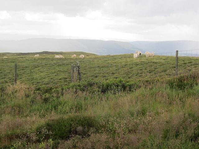 Photo could not load
SO0369 : Camlo Hill summit area
Richard Webb
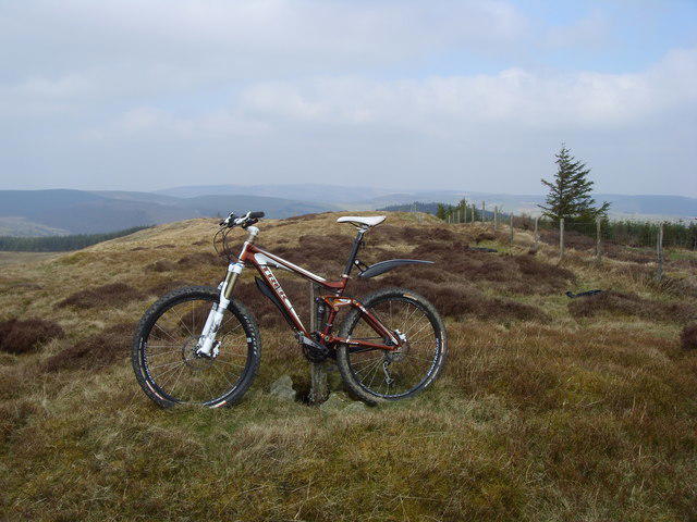 Photo could not load
SO0369 : Camlo Hill
John Horner
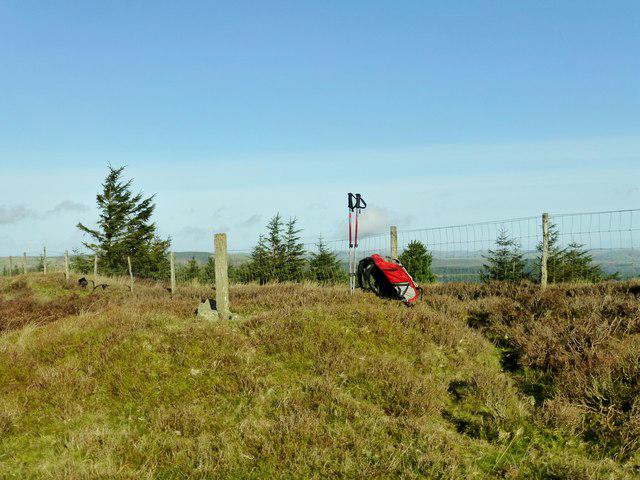 Photo could not load
SO0369 : Camlo Hill
Rude Health
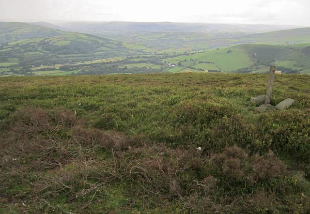 Photo could not load
SO0369 : Camlo Hill summit
Richard Webb
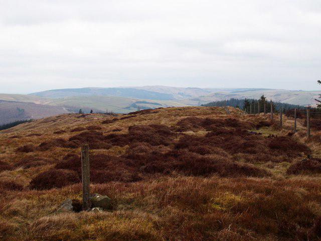 Photo could not load
SO0369 : Camlo Hill
Anton Ciritis
Hill facts and local notes
Classifications
Elevation
509m
1,670 ft
Prominence
130m
Coordinates
52.3173, -3.4140
SO037697
OS Map
136 147
Explorer: 200E
At the Summit
The summit is marked by a small grassy area and offers a simple, unassuming cairn. A trig point is also present, making it perfect for a summit selfie.
Terrain & Geology
Primarily composed of Old Red Sandstone, providing a unique landscape with stunning vistas. The hill contributes to the geological diversity seen in the Malvern Hills Area of Outstanding Natural Beauty.
Views & Scenery
Sweeping views extend towards the Malvern Hills, Herefordshire Plain, and on a clear day, the Cotswolds are visible far to the east. Perfect for those who enjoy a good vista.
History & Heritage
Name Origin
The name Camlo is thought to derive from the British word 'cam', meaning 'crooked' or 'curved', which fits the hill's gentle, rolling structure.
Historical Significance
Camlo Hill is part of the ancient Malvern Hills and has been a popular hiking spot for centuries, with significant historical trails passing through the area.
Getting There & Facilities
Check current local access restrictions, parking rules and transport timetables before travelling. These notes do not confirm public access to the summit.
Parking
British Camp Car Park, located off the A4103 near the village of Upper Colwall. Parking is chargeable, so bring some coins or card! It’s a popular spot, so arrive early during peak times.
Public Transport
Buses serve the nearby village of Colwall, from where hikers can walk to the car park. The nearest railway station is Colwall station, approximately 2 km away.
Nearby Facilities
There are no facilities at the summit, but you can find cafes and toilets in Upper Colwall and Ledbury. Don't forget to pop in for tea and cake after your hike!
Safety Information
Known Hazards
- Watch out for slippery rocks, especially after rain. Also, be wary of sudden weather changes that can occur in hilly areas.
General Safety Tips
- Check weather conditions before setting out
- Carry appropriate clothing and equipment
- Let someone know your planned route
- Take a map, compass, and GPS device
- Carry emergency supplies: food, water, first aid kit, torch
Hills
Some common questions about the hills answered
Are there group walks up Camlo Hill?
Many walkers use Walkmates to join or organise walks with others. You can check for group walks around Camlo Hill through the maps
Are there other walkers around Camlo Hill?
Activity varies by location and time, but Walkmates lets you see whether others have shared walks or shown interest in this area. Find other people through the walking friends search walking friends for Camlo Hill search or of course create your own walk for Camlo Hill
Can I organise a walk to Camlo Hill?
Yes. If there aren’t any walks listed already, you can create a walk and make it available for others to join.
If you're signed up to Walkmates, you can create a walk to Camlo Hill.
How do I find a walk up this hill?
There are often multiple ways to walk this hill, depending on experience and route preference. Walkmates helps you explore walks and routes that others have shared.
Can I suggest a new route up Camlo Hill?
Yes. You can suggest or create routes to share with others. Walkmates focuses on the social side of walking, so routes are used to help people organise walks and explore areas together, rather than as detailed navigation tools or route libraries.
Other uses really appreciate knowledgeable walkers sharing their routes. Share your favourite route to Camlo Hill here
The is an error or something incorrect about this hill. How do I let you know?
We always strive to keep the information on Walkmates as accurate as possible. If you find an error, please let us know through the contact form and we'll aim to correct it as quickly as possible
Community Discussion
Comments
Location
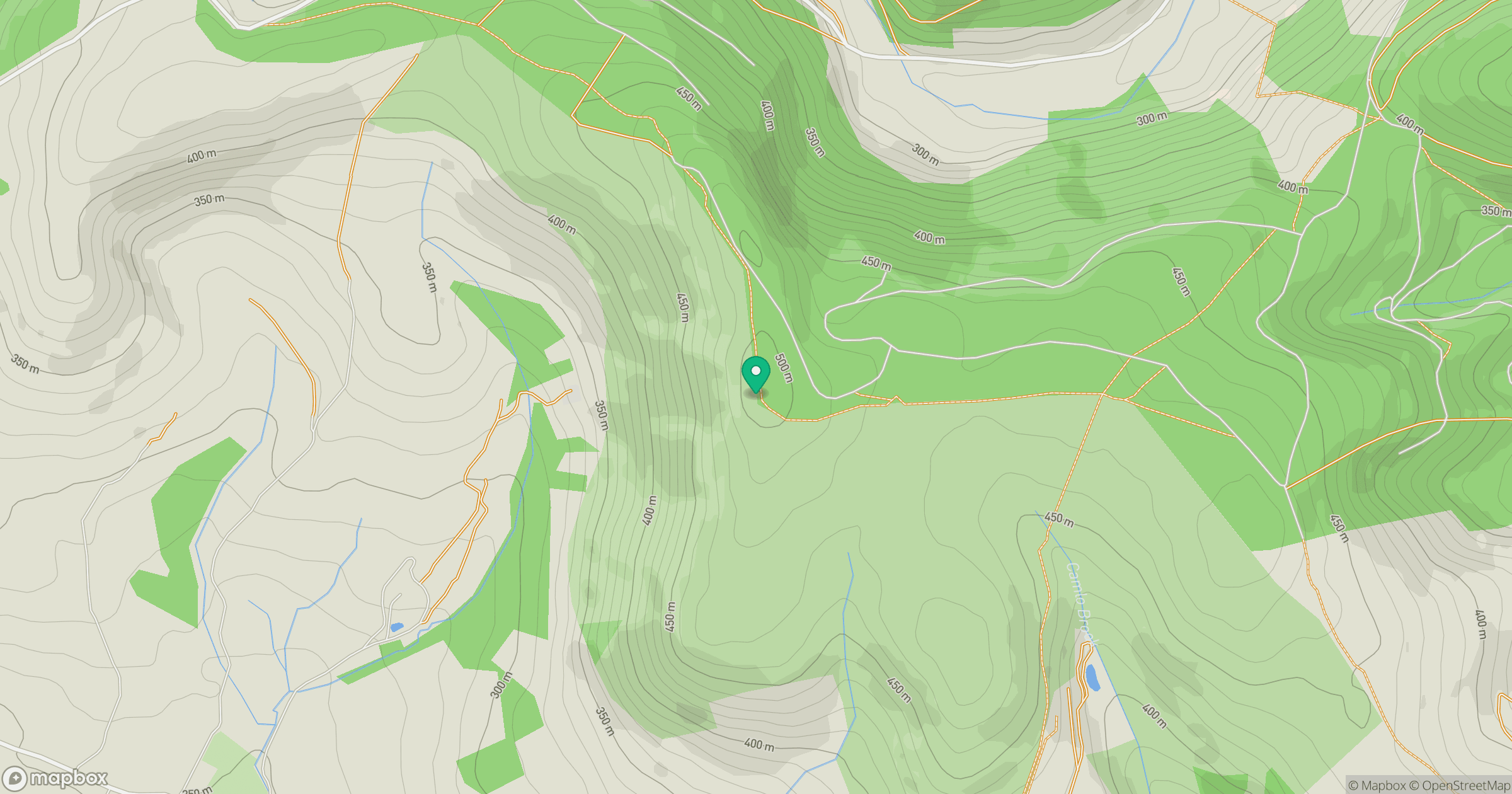
Grid reference: SO037697
View on OpenStreetMapOpens a map in a new tab, centred on the hill.
Hills within 30 km
Straight-line distance, not a walking route or confirmation of access.
No comments yet. Be the first.