

Braon a' Mheallain
Good walks are even better shared.
Overview
Braon a' Mheallain
Overview
Located in the marvellous Scottish Highlands, Braon a' Mheallain rises to a height of 536 meters. While it may not be the highest of peaks, it definitely has character and breathtaking views that will make any hiker's heart flutter.
Geology
The mountain is defined by its ancient metamorphic rocks, schists, and gneisses, which make for a fascinating study of the Earth's composition and history. Be sure to have your geology hat on as you navigate these age-old stones!
Routes
The most popular route starts from the nearby fishing village, offering a moderate trek that spans approximately 8 km and can be enjoyed in about 3.5 hours. This picturesque journey winds through verdant hills and leads you to the summit - a worthy reward for your effort.
Summit Features
At the summit, you'll find a small but sturdy cairn. It's the ideal spot to catch your breath and snap some photos. There's plenty of space for a well-deserved rest, so take a moment to appreciate the splendid surroundings.
Terrain Type
Expect a varied terrain with rocky paths that will challenge your footing, and soft grassy slopes that invite you to kick off your boots and enjoy nature. Just watch out for the bogs – they can be a sneaky trap for the unwary.
Views
Stand at the peak and take in the panoramic views of the lochs and rolling hills. The beauty of the North West Highlands is nothing short of breathtaking, especially on a clear spring day when the colours burst to life.
Hazards
As with all mountain adventures, keep an eye on the weather – it can change more frequently than a Highlander's mood at the mention of haggis. Wet rocks can lead to unexpected slips, so tread carefully!
Access
You can park your car at the village parking lot, but be sure to arrive early to snag a spot. Buses from Torridon provide a convenient way to reach the area without the hassle of driving yourself.
Facilities
Post-hike, treat yourself to a well-deserved meal at one of the quaint cafés in Torridon, or stock up on some essential goodies for your next adventure.
History
The name itself invokes a rustic simplicity, meaning 'the slope of the little hill.' Braon a' Mheallain is steeped in local folklore, making it not just a physical journey but also a cultural one as you walk in the footsteps of those who have come before you.
Pack your bags, lace up your boots, and immerse yourself in the wonders of Braon a' Mheallain. Happy hiking!
Explore routes near Braon a' Mheallain
Public walks starting within 80 km of this hill. Nearby does not mean a route reaches the summit; check its map and access before setting out.
Fairy Lochs Liberator Wreckage Circuit
View route
Beinn Eighe Lancaster Wreckage at Coire Mhic Fhearchair
View route
Berneray Community Hall to the beautiful beach
View route
Dun Mhulan Broch Quick Walk
View route
Route planning notes
These notes describe possible approaches, not verified navigable routes or permission to cross land. Check current paths, local access rules and conditions before setting out.
Fishing village approach
A scenic route starting from the nearby fishing village, winding through lush hills before the final ascent.
Make a day of it, together
Find someone to share the walk with, or organise a day out along a route you like.
Photo Gallery
View all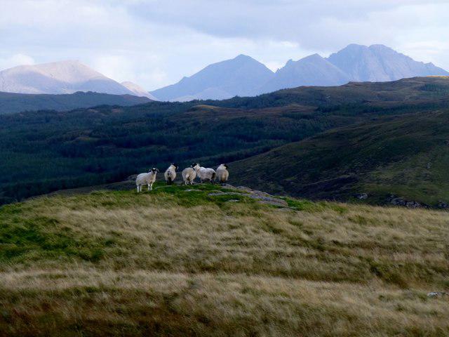 Photo could not load
NG3940 : Sheep Cuillin View
Rude Health
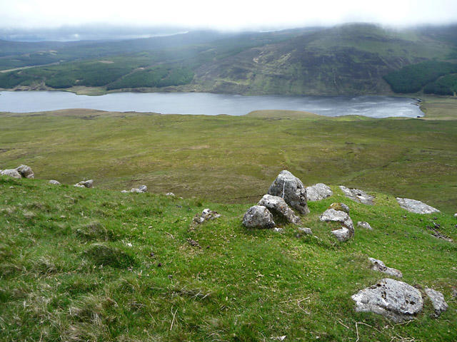 Photo could not load
NG3940 : Summit of Braon a' Mheallan
John Allan
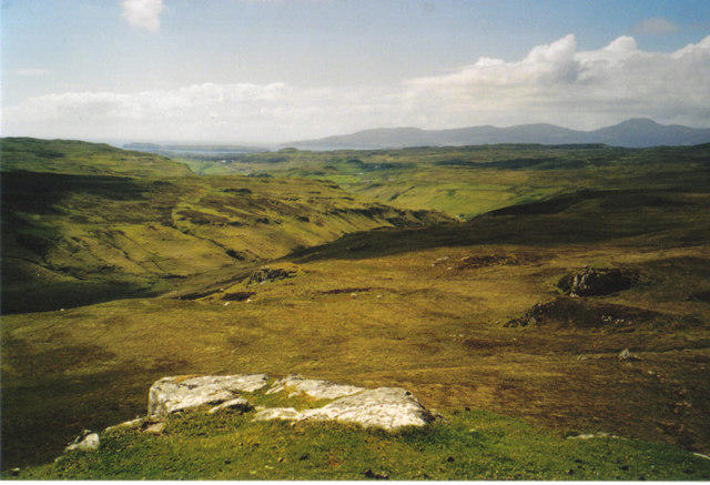 Photo could not load
NG3940 : From Braon a Mheallain
Carol Walker
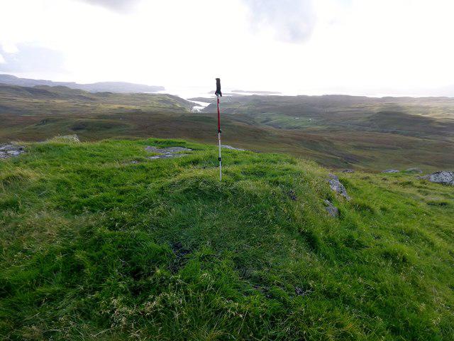 Photo could not load
NG3840 : Braon a' Mheallain
Rude Health
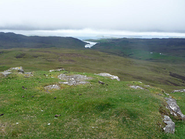 Photo could not load
NG3840 : The south-west of Braon a' Mheallan summit
John Allan
Hill facts and local notes
Classifications
Elevation
267m
876 ft
Prominence
121m
Coordinates
57.3798, -6.3455
NG389405
OS Map
23
Explorer: 410
At the Summit
The summit features a small cairn, perfect for that obligatory photo op, and offers ample space for resting your weary legs while soaking in the views.
Terrain & Geology
The mountain is primarily composed of ancient metamorphic rocks, including schists and gneisses, which tell the geological story of the area dating back over a billion years.
Views & Scenery
From the summit, hikers can enjoy spectacular views of the surrounding lochs and the imposing presence of the North West Highlands, including the distant peaks of the Fisherfield Forest.
History & Heritage
Name Origin
The name 'Braon a' Mheallain' translates to 'the slope of the little hill' in Scottish Gaelic, which sounds rather quaint, doesn't it?
Historical Significance
This mountain is a favourite among local climbers and has been part of Highland folklore, often featuring in tales told by mountaineers in the nearby villages.
Getting There & Facilities
Check current local access restrictions, parking rules and transport timetables before travelling. These notes do not confirm public access to the summit.
Parking
Parking is available at the small lot in the fishing village. Arrive early, as it fills up fast during the weekends.
Public Transport
Regular buses operate from the nearest town, offering a quaint ride through the Highlands.
Nearby Facilities
Torridon offers a shop and a small café, perfect for stocking up on snacks or enjoying a hot cup of tea after your hike.
Safety Information
Known Hazards
- Beware of unpredictable weather, including sudden changes, and watch for slippery rocks, especially in wet conditions.
General Safety Tips
- Check weather conditions before setting out
- Carry appropriate clothing and equipment
- Let someone know your planned route
- Take a map, compass, and GPS device
- Carry emergency supplies: food, water, first aid kit, torch
Hills
Some common questions about the hills answered
Are there group walks up Braon a' Mheallain?
Many walkers use Walkmates to join or organise walks with others. You can check for group walks around Braon a' Mheallain through the maps
Are there other walkers around Braon a' Mheallain?
Activity varies by location and time, but Walkmates lets you see whether others have shared walks or shown interest in this area. Find other people through the walking friends search walking friends for Braon a' Mheallain search or of course create your own walk for Braon a' Mheallain
Can I organise a walk to Braon a' Mheallain?
Yes. If there aren’t any walks listed already, you can create a walk and make it available for others to join.
If you're signed up to Walkmates, you can create a walk to Braon a' Mheallain.
How do I find a walk up this hill?
There are often multiple ways to walk this hill, depending on experience and route preference. Walkmates helps you explore walks and routes that others have shared.
Can I suggest a new route up Braon a' Mheallain?
Yes. You can suggest or create routes to share with others. Walkmates focuses on the social side of walking, so routes are used to help people organise walks and explore areas together, rather than as detailed navigation tools or route libraries.
Other uses really appreciate knowledgeable walkers sharing their routes. Share your favourite route to Braon a' Mheallain here
The is an error or something incorrect about this hill. How do I let you know?
We always strive to keep the information on Walkmates as accurate as possible. If you find an error, please let us know through the contact form and we'll aim to correct it as quickly as possible
Community Discussion
Comments
Location
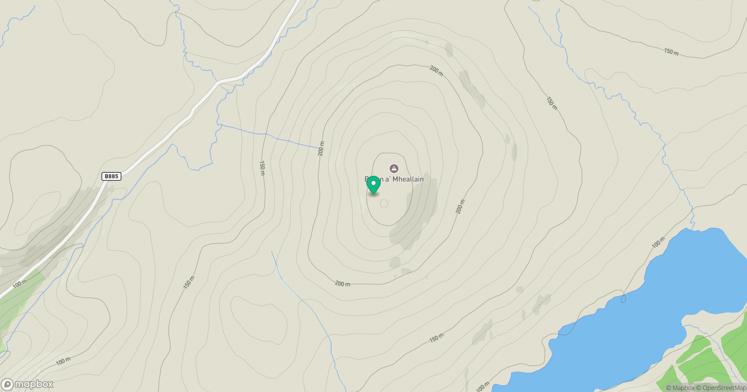
Grid reference: NG389405
View on OpenStreetMapOpens a map in a new tab, centred on the hill.
Hills within 30 km
Straight-line distance, not a walking route or confirmation of access.
Sgurr a' Ghreadaidh
972m
Bruach na Frithe
959m
Sgurr na Banachdich [Sgurr na Banachdaich]
966m
Sgurr Dearg - Inaccessible Pinnacle
986m
Sgurr nan Gillean
966m
No comments yet. Be the first.