

Braid Hills
Good walks are even better shared.
NT2469 : Braid Hills triangulation pillar
Richard Webb Photo source
Overview
Braid Hills: A Hiker's Delight
Nestled in the heart of Edinburgh, the Braid Hills stand proudly with an elevation of 220 meters. Even at this height, these hills are a Marilyn, proving that sometimes, it's not the size that counts but the beauty!
Geology
The Braid Hills boast a fascinating geological history, primarily composed of volcanic basalt formed by ancient eruptions. Just a few millennia ago, these hills were slightly different—probably more volcanic and less grassy!
Routes
One of the most popular routes is the Braid Hills Circular Walk, a gentle 5.5 km loop that is perfect for families, casual walkers, and aspiring mountain goats. You'll follow a mix of grassy trails and paved paths that provide easy access to the summit, allowing you to take in the views without breaking too much of a sweat.
Summit Features
At the summit, you'll find a trig point that marks your achievement and offers the perfect backdrop for your celebratory selfie. The panoramic views are nothing short of spectacular; on clear days, you might just be able to see from the Firth of Forth up to the Pentland Hills!
Terrain Type
The terrain is predominantly grassy, with a few rocky sections where you might need to watch your step. It’s the perfect blend of nature and accessibility for a good day out.
Views
The best time to enjoy these stunning views is during the spring and autumn, where the changing colours of nature complement the scenic vistas. You'll be able to spot notable landmarks including Edinburgh Castle and the iconic Arthur's Seat.
Hazards
While the paths are generally easy to navigate, do keep an eye out for uneven surfaces and steep sections. If you’re bringing your four-legged friend, a lead is advisable, especially near the edges!
Nearby Summits
Just a short jaunt away is Blackford Hill, another lovely spot for those looking to squeeze in a bit more hiking.
Access
Accessing the Braid Hills is a breeze. There’s limited parking on Braid Road, and public transport options abound. Take note of the buses, especially numbers 11 and 15, that can whisk you from the city centre right to the foot of these majestic hills.
Facilities
Once you’ve conquered the hills, you can treat yourself at one of the nearby cafes or find a public toilet at the Braid Hill Golf Club to freshen up.
History
The name 'Braid' hails from the Scots dialect, meaning broad—a fitting description of these rolling hills. Historically, the Braid Hills have been a cherished escape for the denizens of Edinburgh, blending outdoor adventure with breathtaking natural beauty.
So lace up those walking boots and head to the Braid Hills for a day of exploration, breathtaking views, and perhaps a giggle or two as you revel in the great outdoors!
Enjoy your hike!
Explore routes near Braid Hills
Walks starting near this hill. Open a route to check its map, distance and full itinerary.
Artists’ walk in Craigmillar Castle Park (group meeting)
View route
To Absent Friends: Holyrood Park walk
View route
Dalkeith Country Park: Estate and North Woods Green Trail
View route
East Calder: Almondell, Mandela Bridge and River Almond Circuit
View route
Route planning notes
These notes describe possible approaches. Check a route's map and access information when planning your walk.
Braid Hills Circular Walk
A popular circular route starting from the southern foot of the Braid Hills, offering a mix of grassy paths and tarmacked trails.
Make a day of it, together
Find someone to share the walk with, or organise a day out along a route you like.
Photo Gallery
View all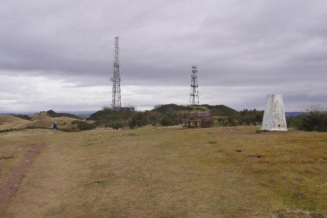 Photo could not load
NT2469 : Braid Hills triangulation pillar
Richard Webb
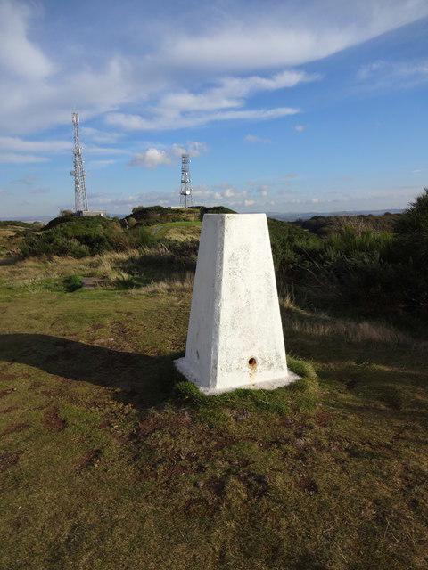 Photo could not load
NT2469 : Braid hill
Brian Robertson
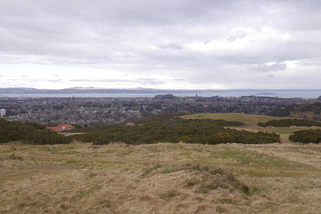 Photo could not load
NT2469 : Northward view from the Braid Hills
Richard Webb
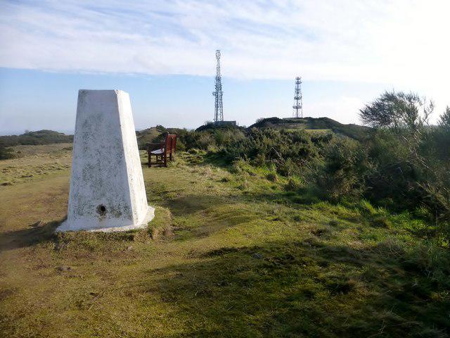 Photo could not load
NT2469 : Braid Hills Trig Point
Rude Health
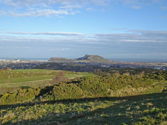 Photo could not load
NT2469 : Arthur's Seat from Braid Hills
Adam Ward
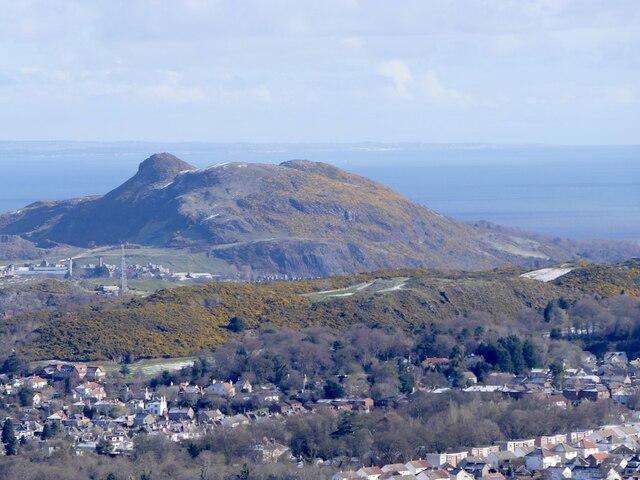 Photo could not load
NT2569 : Braid Hills and Arthur's Seat
Richard Webb
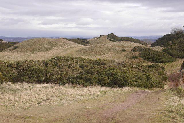 Photo could not load
NT2469 : Braid Hills
Richard Webb
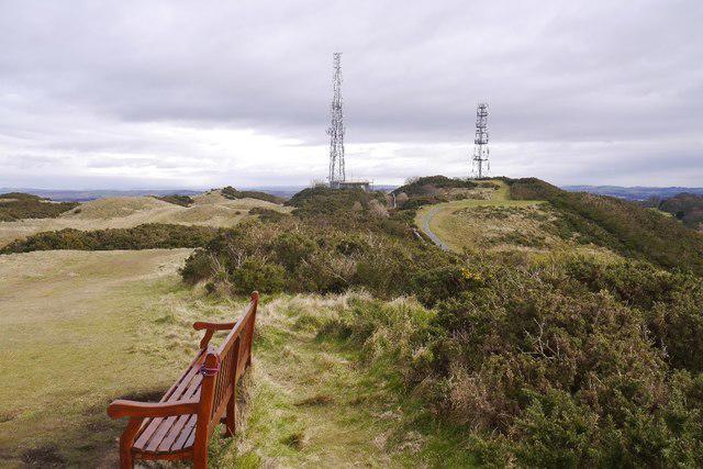 Photo could not load
NT2469 : Braid Hills
Richard Webb
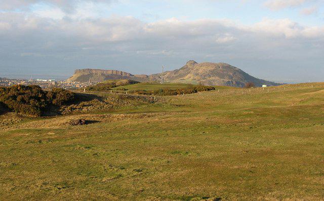 Photo could not load
NT2469 : Braid Hills and Arthur's Seat
Richard Webb
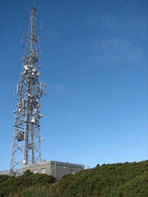
NT2569 : Braid Hills communication mast
Callum Black
Hill facts and local notes
Classifications
Elevation
213m
699 ft
Prominence
51m
Coordinates
55.9119, -3.2008
NT250694
OS Map
66
Explorer: 350
At the Summit
At the summit, you'll find a prominent trig point and stunning panoramic views. It's the perfect spot for a photo op or simply to ponder life's mysteries.
Terrain & Geology
The Braid Hills are primarily composed of volcanic rock, particularly basalt, formed during prehistoric volcanic activity. The unique geology provides a fascinating insight into Scotland's ancient past.
Views & Scenery
From the top, you can see Edinburgh Castle, Arthur's Seat, and the Firth of Forth on clear days. A real feast for the eyes!
History & Heritage
Name Origin
The Braid Hills get their name from the Scots word 'braid', meaning 'broad'.
Historical Significance
Historically, the Braid Hills have been a popular recreational area for locals and visitors alike, known for its picturesque landscape.
Getting There & Facilities
Parking
There is limited on-street parking available on Braid Road and immediate surrounding streets.
Public Transport
Easily accessible via several bus routes from Edinburgh city centre, including buses 11 and 15.
Nearby Facilities
Nearby facilities include various cafes and restaurants in Morningside as well as public toilets at the Braid Hill Golf Club.
Safety Information
Known Hazards
- Uneven paths and occasional steep sections. Dog walkers might want to keep their pups on a lead, especially near the cliffs.
General Safety Tips
- Check weather conditions before setting out
- Carry appropriate clothing and equipment
- Let someone know your planned route
- Take a map, compass, and GPS device
- Carry emergency supplies: food, water, first aid kit, torch
Hills
Some common questions about the hills answered
Are there group walks up Braid Hills?
Many walkers use Walkmates to join or organise walks with others. You can check for group walks around Braid Hills through the maps
Are there other walkers around Braid Hills?
Activity varies by location and time, but Walkmates lets you see whether others have shared walks or shown interest in this area. Find other people through the walking friends search walking friends for Braid Hills search or of course create your own walk for Braid Hills
Can I organise a walk to Braid Hills?
Yes. If there aren’t any walks listed already, you can create a walk and make it available for others to join.
If you're signed up to Walkmates, you can create a walk to Braid Hills.
How do I find a walk up this hill?
There are often multiple ways to walk this hill, depending on experience and route preference. Walkmates helps you explore walks and routes that others have shared.
Can I suggest a new route up Braid Hills?
Yes. You can suggest or create routes to share with others. Walkmates focuses on the social side of walking, so routes are used to help people organise walks and explore areas together, rather than as detailed navigation tools or route libraries.
Other uses really appreciate knowledgeable walkers sharing their routes. Share your favourite route to Braid Hills here
The is an error or something incorrect about this hill. How do I let you know?
We always strive to keep the information on Walkmates as accurate as possible. If you find an error, please let us know through the contact form and we'll aim to correct it as quickly as possible
Community Discussion
Comments
Location
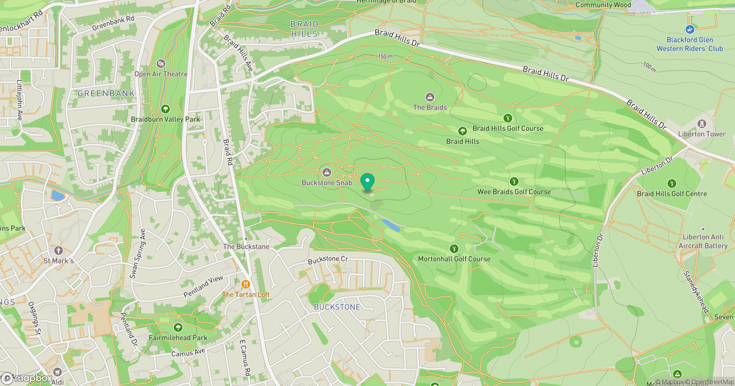
Grid reference: NT250694
View on OpenStreetMapOpens a map in a new tab, centred on the hill.


No comments yet. Be the first.