
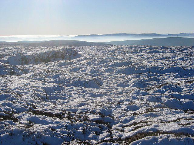
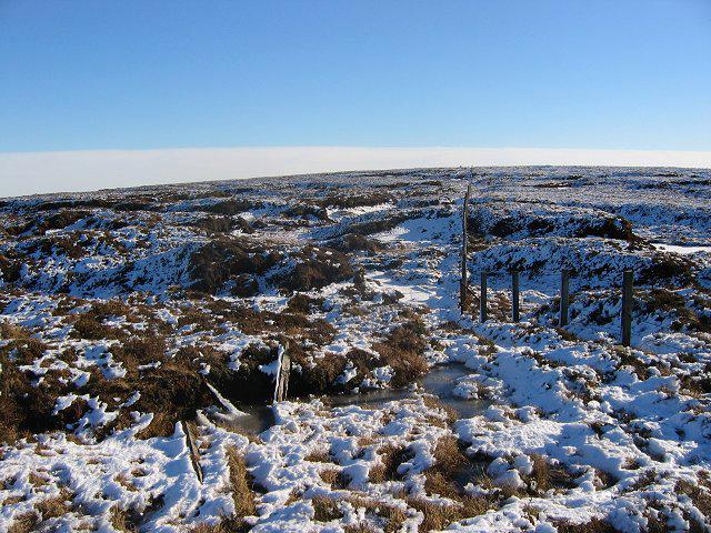
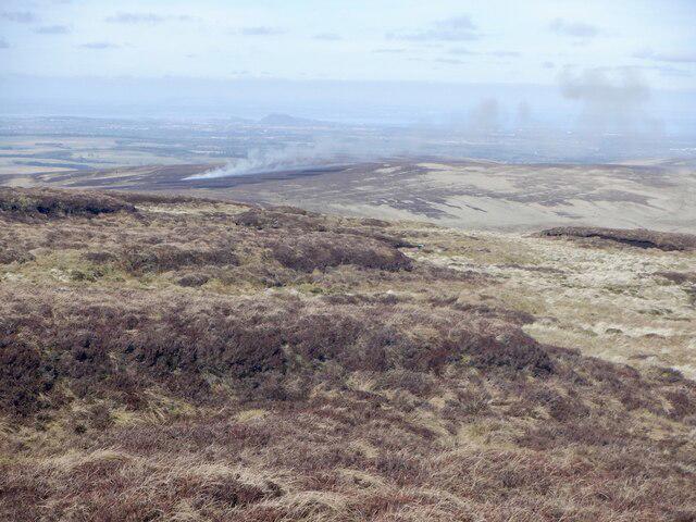
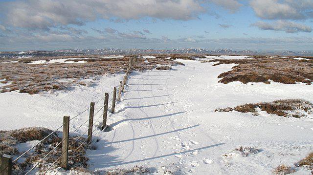
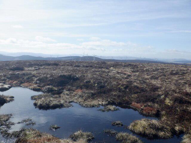
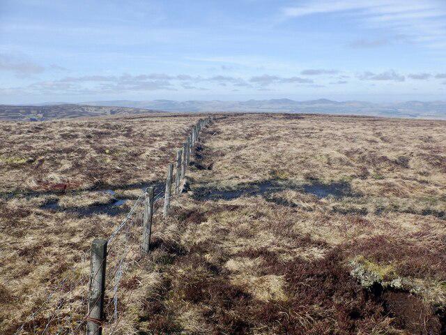
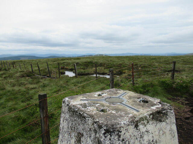
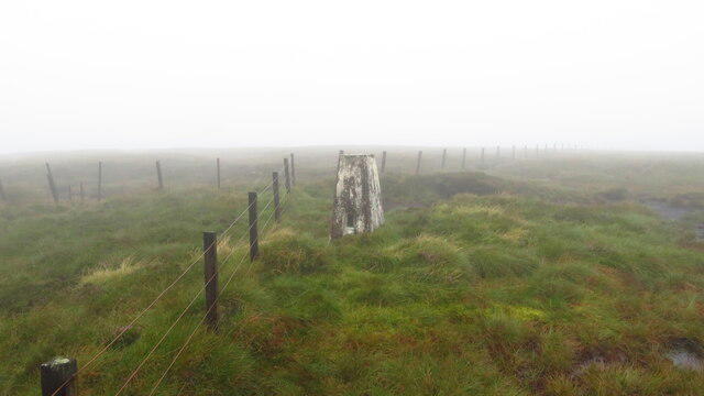
Countryside
Circular
Easy
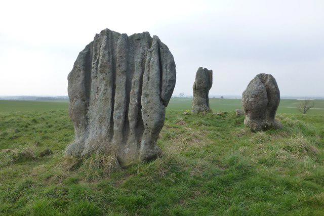
Duddo Stones (Standing Stones)
PaulWalkmates
Walk organiser
No comments yet. Be the first.