

Beinn na Boineid
Good walks are even better shared.
Overview
Beinn na Boineid
Overview
Located near the picturesque coastline of Loch Eil, Beinn na Boineid might not be the tallest mountain in the Scottish Highlands, but it certainly holds its own in charm. Towering at 358 meters, it presents a rewarding walk with stunning vistas. This Marilyn, often overshadowed by its grander neighbours, is ideal for those seeking a quieter escape into nature.
Geology
As previously mentioned, Beinn na Boineid is predominantly constructed of volcanic rock, and the remnants of glacial activity can be observed throughout the area. Rocks and formations tell stories of the Earth's history; take a moment to appreciate the layers of time beneath your feet.
Routes
East Ridge Route
A friendly route that beckons hikers with its gentle slopes, the East Ridge is perfect for families or those looking for an enjoyable outing. The ascent is not overly strenuous and engages you with beautiful landscapes at every turn.
West Approach
For those adventure-hungry souls, the West Approach offers a comprehensive Highland experience with stunning valleys, challenging terrain, and the satisfaction of conquering a longer path. Bring plenty of water and snacks, as you might work up quite the appetite!
Summit Features
On reaching the summit of Beinn na Boineid, you’ll find a simple but significant cairn. It's the perfect spot for a well-earned rest, a photo op, or perhaps a cheeky snack—after all, even the most daring adventurers need to fuel up!
Terrain
Expect a delightful mix of grassy slopes, rocky sections, and some boggy patches that might have you thinking twice about those fancy brand-new walking boots. The terrain provides a bit of everything and keeps the hike engaging.
Views
From the top, the views are absolutely delightful, with notable landmarks such as Ben Nevis rearing its head to the south. Ideal conditions present awe-inspiring panoramas, especially in late spring or early autumn. Don’t forget to bring your camera!
Hazards
As with any mountain hike, keep an eye on changing weather patterns and be cautious of loose rocks, especially when descending. It's also wise to let someone know your plans before heading out—safety first!
Nearby Summits
Beinn na Boineid is surrounded by several other notable peaks, including the striking Beinn na Cailleach and the formidable Sgurr na Ciche. These can make for great companions in your hiking adventures!
Access and Facilities
Reachable from Fort William, Beinn na Boineid is easily accessible for both local and visiting hikers. Roadside parking can be found nearby, and the town itself is equipped with cafes and facilities to help you along your journey.
Conclusion
Beinn na Boineid is a hidden gem in the Scottish Highlands, inviting hikers of all skill levels with its striking views and approachable routes. So whether you’re a seasoned mountaineer or just fancy a nice walk, Beinn na Boineid is waiting to welcome you—be prepared for a rewarding day out!
Explore routes near Beinn na Boineid
Public walks starting within 80 km of this hill. Nearby does not mean a route reaches the summit; check its map and access before setting out.
Dun Mhulan Broch Quick Walk
View route
Berneray Community Hall to the beautiful beach
View route
Fairy Lochs Liberator Wreckage Circuit
View route
Beinn Eighe Lancaster Wreckage at Coire Mhic Fhearchair
View route
Route planning notes
These notes describe possible approaches, not verified navigable routes or permission to cross land. Check current paths, local access rules and conditions before setting out.
East Ridge Route
A straightforward ascent via the eastern ridge that offers gentle slopes and stunning views along the way. Perfect for those looking for an enjoyable hike without the hassle.
West Approach
A longer but rewarding route from the west that winds through beautiful glens and offers varied terrain, ideal for seasoned hikers seeking a challenge.
Make a day of it, together
Find someone to share the walk with, or organise a day out along a route you like.
Photo Gallery
View all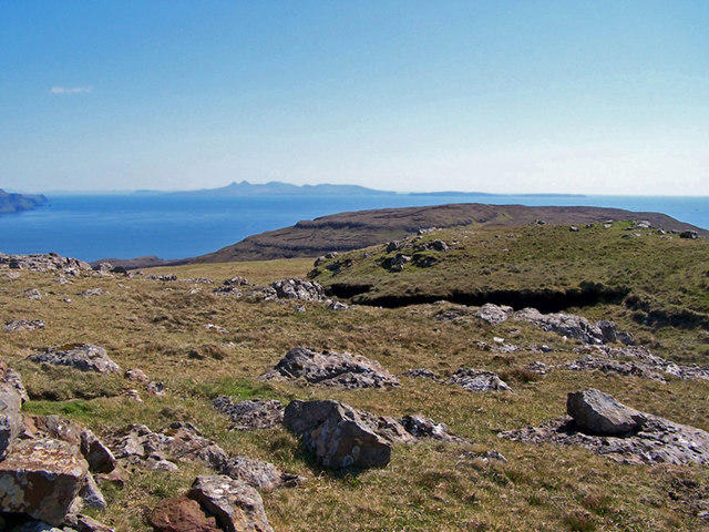 Photo could not load
NG2339 : South east from the summit
Richard Dorrell
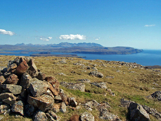 Photo could not load
NG2339 : Summit of Beinn na Boineid
Richard Dorrell
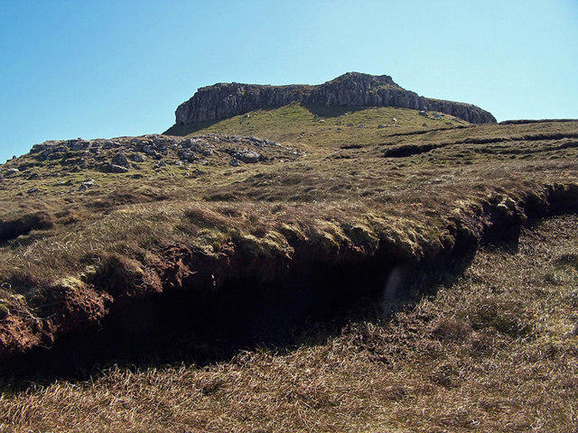 Photo could not load
NG2339 : Approaching the summit
Richard Dorrell
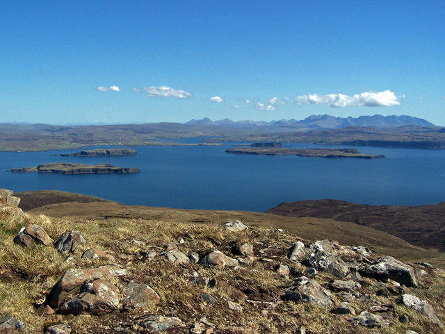 Photo could not load
NG2339 : East from the summit
Richard Dorrell
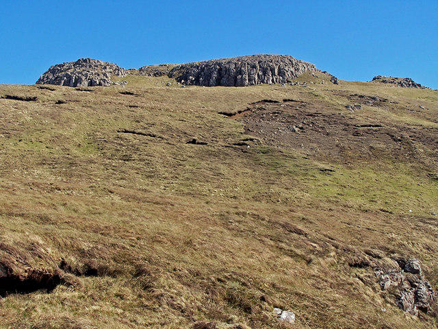 Photo could not load
NG2339 : Western slopes of Beinn na Boineid
Richard Dorrell
Hill facts and local notes
Classifications
Elevation
371m
1,217 ft
Prominence
110m
Coordinates
57.3627, -6.5944
NG238395
OS Map
23
Explorer: 407
At the Summit
The summit is marked by a modest cairn and offers a panoramic vista, perfect for that coveted summit selfie.
Terrain & Geology
Composed primarily of volcanic rock, Beinn na Boineid showcases stunning geological features that provide insight into the dynamic history of the Scottish Highlands. The area around the mountain is rich in glacial features, leaving behind a landscape sculpted by ancient ice.
Views & Scenery
From the summit, expect breathtaking views of the surrounding mountains, including the majestic Ben Nevis to the south and the sprawling Morar Valley to the north.
History & Heritage
Name Origin
The name 'Beinn na Boineid' translates to 'Hill of the Beard', likely referring to the hill's rough and rugged appearance.
Historical Significance
Though not the most famous Munro, Beinn na Boineid is a cherished and accessible peak for local walkers, providing an excellent introduction to Highland hiking.
Getting There & Facilities
Check current local access restrictions, parking rules and transport timetables before travelling. These notes do not confirm public access to the summit.
Parking
There is roadside parking available at NG240390, just a short walk from the trailhead.
Public Transport
The nearest bus service operates from Fort William, which is about 20 miles away. Expect a combination of bus and a modest walk to reach the starting point.
Nearby Facilities
Fort William has several cafes, pubs, and facilities, including public toilets. It's a good idea to stock up on snacks before heading out.
Safety Information
Known Hazards
- Be cautious of sudden weather changes common in mountainous regions. Loose rocks along some trails can also pose a risk, so watch your footing.
General Safety Tips
- Check weather conditions before setting out
- Carry appropriate clothing and equipment
- Let someone know your planned route
- Take a map, compass, and GPS device
- Carry emergency supplies: food, water, first aid kit, torch
Hills
Some common questions about the hills answered
Are there group walks up Beinn na Boineid?
Many walkers use Walkmates to join or organise walks with others. You can check for group walks around Beinn na Boineid through the maps
Are there other walkers around Beinn na Boineid?
Activity varies by location and time, but Walkmates lets you see whether others have shared walks or shown interest in this area. Find other people through the walking friends search walking friends for Beinn na Boineid search or of course create your own walk for Beinn na Boineid
Can I organise a walk to Beinn na Boineid?
Yes. If there aren’t any walks listed already, you can create a walk and make it available for others to join.
If you're signed up to Walkmates, you can create a walk to Beinn na Boineid.
How do I find a walk up this hill?
There are often multiple ways to walk this hill, depending on experience and route preference. Walkmates helps you explore walks and routes that others have shared.
Can I suggest a new route up Beinn na Boineid?
Yes. You can suggest or create routes to share with others. Walkmates focuses on the social side of walking, so routes are used to help people organise walks and explore areas together, rather than as detailed navigation tools or route libraries.
Other uses really appreciate knowledgeable walkers sharing their routes. Share your favourite route to Beinn na Boineid here
The is an error or something incorrect about this hill. How do I let you know?
We always strive to keep the information on Walkmates as accurate as possible. If you find an error, please let us know through the contact form and we'll aim to correct it as quickly as possible
Community Discussion
Comments
Location
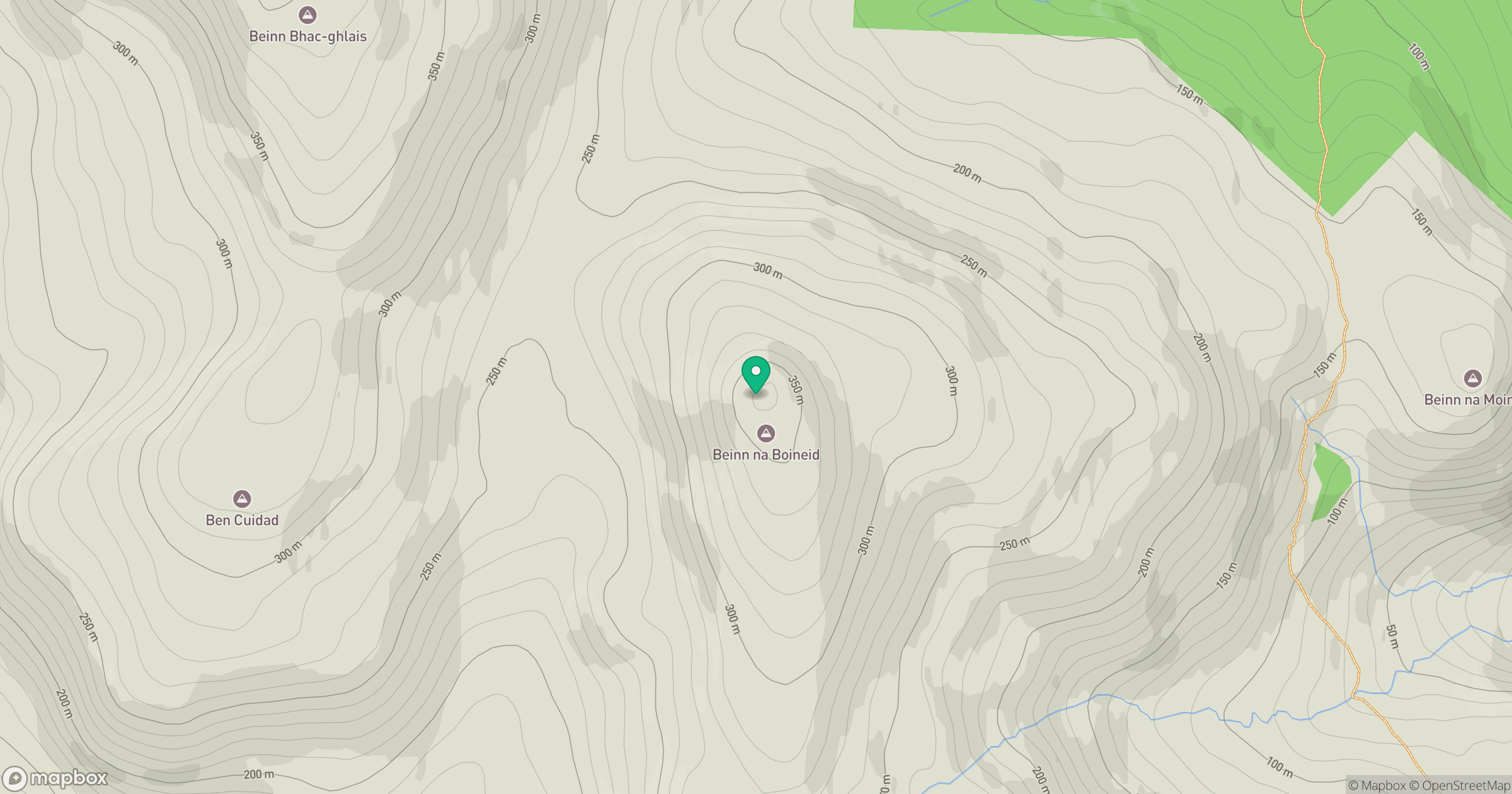
Grid reference: NG238395
View on OpenStreetMapOpens a map in a new tab, centred on the hill.
Hills within 30 km
Straight-line distance, not a walking route or confirmation of access.
Sgurr na Banachdich [Sgurr na Banachdaich]
966m
Sgurr a' Ghreadaidh
972m
Sgurr Dearg - Inaccessible Pinnacle
986m
Bruach na Frithe
959m
Sgurr Alasdair
992m
No comments yet. Be the first.