
Beinn Bhreac
Good walks are even better shared.
Overview
Beinn Bhreac
Beinn Bhreac is a splendid Munro located in the Scottish Highlands, boasting an elevation of 852 metres. This charming peak, nestled in the heart of nature, offers hikers an exhilarating experience with its remarkable views and somewhat testy terrain.
Geology
The rock beneath your feet on Beinn Bhreac is primarily granite, which is about as tough as tea made from an old boot. Its resilience leads to striking landscapes, rife with geological features like glacial valleys and crags forged by ancient forces of nature.
Routes
Several routes lead to the summit, with the most popular being from Glen Feshie. This route meanders through enchanting woodlands before challenging hikers to ascend its steep slopes. The first route spans approximately 11 km and typically takes about 4 hours to complete.
For the more ambitious souls, the route from Feshiebridge delivers a scenic 15 km trek, combining a day of hiking with a workout that’ll make you think you’re training for the Highland Games!
Summit Features
At the summit, expect to find a sturdy cairn that, much like your best mate on a night out, stands firm against the elements. The panoramic vista from Beinn Bhreac is nothing short of stunning, showcasing the northern corries and the beautiful valleys below.
Terrain Type
The terrain can be described as rocky interspersed with patches of grass, ready to welcome both adventurous spirits and less confident walkers. A word of caution: these hills can be slippery when wet!
Views
The view from Beinn Bhreac is like a painter’s palette with the Cairngorms to the east and the lush valleys below. Seasons particularly bless the area with beauty: Spring showcases blooming heather, while Autumn offers a more fiery splash of colours. The best time to relish these sights is either during early morning or sunny afternoons.
Hazards
As exciting as this isn’t, hikers should remember that the weather can change quicker than you can say 'underwhelming forecast.' Slip-and-trip hazards abound, especially on the rocky ascent and wet grassy spots.
Nearby Summits
Do consider checking out its neighbours such as Beinn a' Chaorainn and Cairn Toul, both offering respective challenges and breathtaking sights.
Access
To reach Beinn Bhreac, park at the Glen Feshie car park, which offers free parking. Public transport options are quite limited, so consider bringing your own wheels or hiring a taxi if you’re coming from Aviemore.
Facilities
While there aren't any facilities up on the hill, Aviemore town will suit all your post-hike needs, with cafes and shops available to recharge those much-needed calories!
History
The mountain's name, 'Beinn Bhreac,' resonates with its rugged character, translating to 'speckled mountain' in Gaelic. Historically, it has been a key grazing ground for local Highland cattle, with roots entangled in the culture of the area.
In conclusion, Beinn Bhreac offers a delightful mix of challenges, stunning views, and rich history. Whether you're a seasoned Munro bagger or a casual walker looking for a solid day out, Beinn Bhreac promises a bit of everything to keep the spirit of adventure alive!
Happy hiking!
Explore routes near Beinn Bhreac
Public walks starting within 80 km of this hill. Nearby does not mean a route reaches the summit; check its map and access before setting out.
Fort Augustus to Kytra Lock: Caledonian Canal Towpath
View route
Great Glen Way low route: Fort Augustus to Invermoriston Old Bridge
View route
Loch Affric full circuit from River Affric
View route
Banavie to Glen Loy Aqueduct: Neptune’s Staircase Canal Towpath
View route
Route planning notes
These notes describe possible approaches, not verified navigable routes or permission to cross land. Check current paths, local access rules and conditions before setting out.
From Glen Feshie
A popular route starting from the Glen Feshie car park, winding through scenic woodland before ascending the slopes of Beinn Bhreac.
From Feshiebridge
A more extended route covering several scenic spots, including the nearby mountain of Beinn a' Chaorainn.
Make a day of it, together
Find someone to share the walk with, or organise a day out along a route you like.
Hill facts and local notes
Classifications
Elevation
441m
1,447 ft
Prominence
103m
Coordinates
57.0486, -4.8948
NN245990
OS Map
34
Explorer: 400
At the Summit
The summit features a prominent cairn and offers a striking view of the northern corries as well as a sublime panorama of the surrounding Highlands.
Terrain & Geology
The mountain is primarily composed of granite, known for its resistance to weathering and the formation of rugged crags. The surrounding landscape showcases a variety of geological features, including glacial valleys and metamorphic rock formations.
Views & Scenery
From the summit, one can see the stunning Cairngorms to the east, Loch Einich, and the picturesque valleys blanketed in heather and wildlife.
History & Heritage
Name Origin
The name Beinn Bhreac translates to 'speckled mountain' in Gaelic, possibly referring to its distinctive rocky slopes and patches of vegetation.
Historical Significance
Beinn Bhreac holds historical significance as part of the traditional grazing lands for local Highland cattle.
Getting There & Facilities
Check current local access restrictions, parking rules and transport timetables before travelling. These notes do not confirm public access to the summit.
Parking
The nearest parking is at Glen Feshie car park, which accommodates multiple vehicles and provides access to various trails.
Public Transport
Public transport options are limited, but there are bus services to Aviemore from where you can take a taxi or cycle to the starting point.
Nearby Facilities
There are no facilities on the mountain itself, but Aviemore and the surrounding areas offer cafes, restaurants, and public toilets.
Safety Information
Known Hazards
- Beware of sudden weather changes, especially in higher elevations. Rocky terrain can be slippery when wet, and care should be taken to avoid loose rocks.
General Safety Tips
- Check weather conditions before setting out
- Carry appropriate clothing and equipment
- Let someone know your planned route
- Take a map, compass, and GPS device
- Carry emergency supplies: food, water, first aid kit, torch
Hills
Some common questions about the hills answered
Are there group walks up Beinn Bhreac?
Many walkers use Walkmates to join or organise walks with others. You can check for group walks around Beinn Bhreac through the maps
Are there other walkers around Beinn Bhreac?
Activity varies by location and time, but Walkmates lets you see whether others have shared walks or shown interest in this area. Find other people through the walking friends search walking friends for Beinn Bhreac search or of course create your own walk for Beinn Bhreac
Can I organise a walk to Beinn Bhreac?
Yes. If there aren’t any walks listed already, you can create a walk and make it available for others to join.
If you're signed up to Walkmates, you can create a walk to Beinn Bhreac.
How do I find a walk up this hill?
There are often multiple ways to walk this hill, depending on experience and route preference. Walkmates helps you explore walks and routes that others have shared.
Can I suggest a new route up Beinn Bhreac?
Yes. You can suggest or create routes to share with others. Walkmates focuses on the social side of walking, so routes are used to help people organise walks and explore areas together, rather than as detailed navigation tools or route libraries.
Other uses really appreciate knowledgeable walkers sharing their routes. Share your favourite route to Beinn Bhreac here
The is an error or something incorrect about this hill. How do I let you know?
We always strive to keep the information on Walkmates as accurate as possible. If you find an error, please let us know through the contact form and we'll aim to correct it as quickly as possible
Community Discussion
Comments
Location
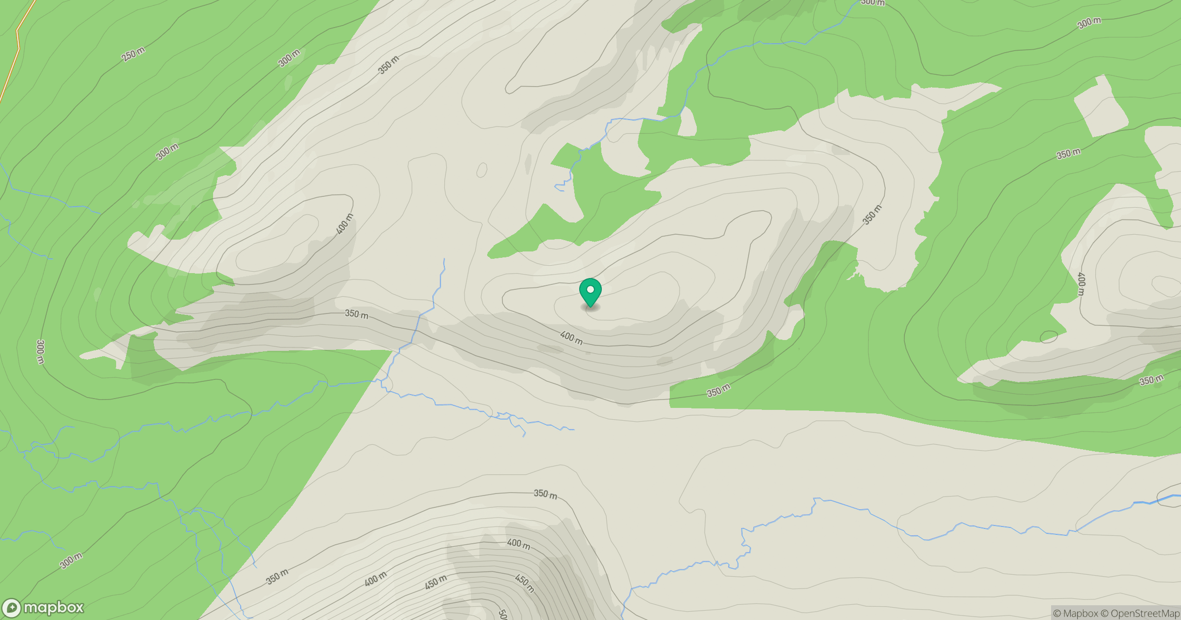
Grid reference: NN245990
View on OpenStreetMapOpens a map in a new tab, centred on the hill.
Hills within 30 km
Straight-line distance, not a walking route or confirmation of access.
Stob Choire Claurigh
1,177m
Stob Ban
977m
Aonach Mor
1,220m
Aonach Beag
1,234m
Carn Mor Dearg
1,221m
No comments yet. Be the first.