
An Caisteal
Good walks are even better shared.
Overview
An Caisteal: The Castle in the Clouds
Overview
Nestled in the heart of the Scottish Highlands, An Caisteal stands proudly at 995 meters, offering not only a Munro status but also exquisite views that will make your heart skip a beat (in a good way!). Whether you're a seasoned climber or a keen novice, this mountain beckons with both the challenge of its terrain and the beauty of its surroundings.
Geology
An Caisteal is primarily composed of volcanic rock from an era long past—think ancient history, with a dramatic flair! The rugged cliffs that adorn its flanks provide a home to various hardy plants and wildlife, proving that life finds a way even in the harshest conditions.
Routes
The West Highland Way Approach
- Distance: 10 km
- Time: Approximately 4 hours
- Difficulty: Moderate
Kick off your adventure along the famed West Highland Way, a well-trodden path that will lead you to the heights of An Caisteal without unleashing the inner mountain goat in you.
Via Beinn an Lochain
- Distance: 8 km
- Time: Approximately 5 hours
- Difficulty: Challenging
For those who fancy a bit of a scramble, this path will give you a run for your money (or lack of fitness!). The payoff, however, is a 360-degree view that’s simply to die for—a perfect reward for your sense of adventure!
Summit Features
Upon cresting the summit, you’ll be welcomed by a magnificent cairn and breathtaking views that will make you want to give the mountain a hug (or at least a high-five). The vista extends into the Arrochar Alps and beyond, offering countless photo opportunities.
Terrain
Expect a rugged mix of rocky slopes and grassy expanses, punctuated by the odd bog—after all, a little mud never hurt anyone, right?
Views
On clear days, the scenery rivals even the fanciest postcards. You'll gaze upon Loch Lomond, the vast expanse of the Highlands, and, if you're lucky, the snowy peaks of Ben Nevis. Consider carrying binoculars—your Instagram feed will thank you!
Access
Parking
The Inveruglas Visitor Centre is your go-to for parking. With decent amenities and a view to boot, it makes for an excellent pit stop.
Public Transport
Frequent buses run from Glasgow to Inveruglas, perfect for those not wishing to drive the rugged roads.
Nearby Town
Tarbet is just a stone's throw away, and it boasts several cafés to refuel after your climb.
Facilities
Cafés and toilets are located conveniently at the Inveruglas Visitor Centre, ensuring you are spirited and satisfied before your trek.
History
Name Meaning
In Gaelic, An Caisteal means 'The Castle.' A fitting name, indeed, for a mountain that offers more than just a climb—it’s a mini adventure cast in stone!
Significance
The area surrounding An Caisteal is rich in history, with evidence of prehistoric activity. If only stones could talk; the tales they could tell!
Conclusion
So there you have it—An Caisteal, a stalwart of Scottish majesty just waiting for you to lace up your boots and take on its challenges. Whether for the history, the views, or just for the bragging rights, it’s well worth the visit. Keep that sense of humour handy, pack your sandwiches, and most importantly, enjoy the journey!
Explore routes near An Caisteal
Walks starting near this hill. Open a route to check its map, distance and full itinerary.
Fairy Lochs Liberator Wreckage Circuit
View route
Beinn Eighe Lancaster Wreckage at Coire Mhic Fhearchair
View route
Dun Mhulan Broch Quick Walk
View route
Berneray Community Hall to the beautiful beach
View route
Route planning notes
These notes describe possible approaches. Check a route's map and access information when planning your walk.
The West Highland Way Approach
This route begins at the familiar trail of the West Highland Way, offering a gradual ascent leading to the summit with views of rugged landscapes.
Via Beinn an Lochain
A challenging and steep ascent from Beinn an Lochain, this route rewards hikers with panoramic views as they navigate rocky terrain.
Make a day of it, together
Find someone to share the walk with, or organise a day out along a route you like.
Hill facts and local notes
Classifications
Elevation
830m
2,723 ft
Prominence
67m
Coordinates
57.2401, -6.2100
NG460244
OS Map
32
Explorer: 411
At the Summit
The summit features a prominent cairn and a stunning panoramic view across the Highlands, as well as nearby Loch Lomond and the surrounding hills.
Terrain & Geology
An Caisteal is primarily composed of ancient volcanic rock formed during the Caledonian Orogeny, giving it a distinctive rugged appearance. Its cliffs are impressive features and provide a habitat for a variety of mountain flora and fauna.
Views & Scenery
From the summit, you'll catch views of Loch Lomond, the Arrochar Alps, and on a clear day, distant peaks such as Ben Nevis and the Cairngorms.
History & Heritage
Name Origin
The name 'An Caisteal' translates to 'The Castle' in Gaelic, likely referring to its rugged summit resembling a fortress.
Historical Significance
Historically, this area is rich in prehistoric significance, with many ancient sites nearby, linking history enthusiasts with breathtaking hikes.
Getting There & Facilities
Parking
The nearest parking area is located at Inveruglas Visitor Centre, which provides ample space and facilities for visitors.
Public Transport
Buses from Glasgow to Inveruglas run regularly, providing a convenient option for walkers. The nearest railway station is at Crianlarich, approximately a 12-mile drive away.
Nearby Facilities
Cafés and toilets can be found at the Inveruglas Visitor Centre, making it a good starting point for your hike.
Safety Information
Known Hazards
- Watch out for sudden weather changes, steep paths, and potential boggy areas, especially after heavy rains. Always check the forecast before you set off!
General Safety Tips
- Check weather conditions before setting out
- Carry appropriate clothing and equipment
- Let someone know your planned route
- Take a map, compass, and GPS device
- Carry emergency supplies: food, water, first aid kit, torch
Hills
Some common questions about the hills answered
Are there group walks up An Caisteal?
Many walkers use Walkmates to join or organise walks with others. You can check for group walks around An Caisteal through the maps
Are there other walkers around An Caisteal?
Activity varies by location and time, but Walkmates lets you see whether others have shared walks or shown interest in this area. Find other people through the walking friends search walking friends for An Caisteal search or of course create your own walk for An Caisteal
Can I organise a walk to An Caisteal?
Yes. If there aren’t any walks listed already, you can create a walk and make it available for others to join.
If you're signed up to Walkmates, you can create a walk to An Caisteal.
How do I find a walk up this hill?
There are often multiple ways to walk this hill, depending on experience and route preference. Walkmates helps you explore walks and routes that others have shared.
Can I suggest a new route up An Caisteal?
Yes. You can suggest or create routes to share with others. Walkmates focuses on the social side of walking, so routes are used to help people organise walks and explore areas together, rather than as detailed navigation tools or route libraries.
Other uses really appreciate knowledgeable walkers sharing their routes. Share your favourite route to An Caisteal here
The is an error or something incorrect about this hill. How do I let you know?
We always strive to keep the information on Walkmates as accurate as possible. If you find an error, please let us know through the contact form and we'll aim to correct it as quickly as possible
Community Discussion
Comments
Location
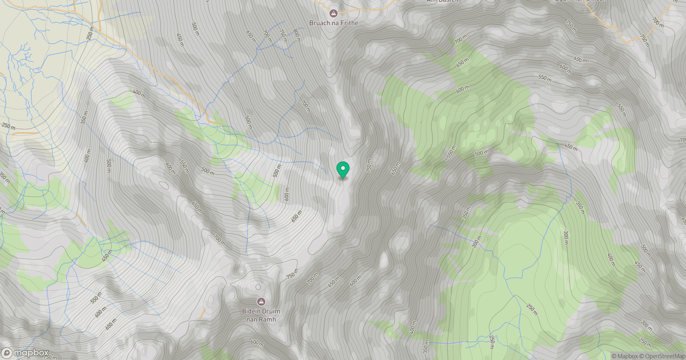
Grid reference: NG460244
View on OpenStreetMapOpens a map in a new tab, centred on the hill.
No comments yet. Be the first.