

Crowborough
Good walks are even better shared.
TQ5130 : The junction of Church Rd and Beacon Rd (A26)
N Chadwick Photo source
Overview
Crowborough: A Hidden Gem in Sussex Weald
Nestled in the heart of Sussex, Crowborough stands tall at an elevation of 251 meters, making it a lovely day hike destination for both novice and seasoned walkers alike. As a classified Marilyn, it boasts a significant prominence of 131 meters, rewarding adventurers with picturesque views over the surrounding Weald.
Geology
The terrain primarily consists of sandstones and clays from the Wealden Series, hinting at an exciting geological history where sedimentary processes have shaped the landscape over millions of years. As you explore the area, keep an eye out for unique rock formations and perhaps even some interesting fossils!
Routes
There are several routes available for hikers of various skill levels:
Crowborough Hill Circular Walk: This is a gentle 5.5 km circular route that takes about 1.5 hours. As you wander through the serene woodlands, keep your eyes peeled for the local wildlife. You may spot a few deer or a cheeky squirrel just wishing for a snack!
Ditchling Beacon to Crowborough: For those seeking a bit more adventure, this 12 km hike connects Crowborough to the famous South Downs. It may take around 4 hours, but the views from the ridges are nothing short of breathtaking.
Summit Features
At the summit, let the trig point be your guide. It's a perfect spot for a photo op, especially when you want to impress your friends back home. An information board at the top provides insight into the sweeping landscape, ensuring every visitor leaves a little wiser.
Terrain Type
The terrain is primarily grassy with well-marked walking paths that lead through scenic woodlands. Those who venture off the beaten track may encounter muddy patches, but hey, a little mud never hurt anyone (or at least that’s what we tell ourselves when cleaning our boots)!
Views
From the summit, you are greeted with stunning views of Ashdown Forest and, if the weather is right, even the distant North Downs. The best time to experience these vistas is in spring or autumn when nature dons its most vibrant colours. Winter can provide a mystical ambiance as mist rolls over the hills, transforming the landscape into a wonderland.
Hazards
As with any hike, awareness is key. Look out for muddy sections after rainfall that might sneak up on unprepared footwear. Additionally, sticking to marked paths will help you evade any overgrown bushes hoping to snag unsuspecting walkers.
Access
Getting to Crowborough is convenient: the nearest parking is at the Crowborough Leisure Centre, which also provides restroom facilities for a pre-hike pit stop. The nearest public transportation is via the Crowborough railway station, connecting you effortlessly to both London and Uckfield.
Nearby Facilities
After your journey, treat yourself at a local eatery. The White Hart pub offers hearty meals, or you can indulge in a warming beverage at Costa Coffee nearby. Planning on a longer stay? Crowborough boasts a plethora of cafes and shops to explore.
History
Crowborough’s name is derived from the folklore associated with its crow population, linking the area to local culture. Historically, it was well-known as a spa town in the 19th century, where visitors flocked to soak up the health benefits of the natural springs.
All in all, Crowborough is a delightful destination that offers a mix of natural beauty, historical richness, and accessible routes suitable for all levels of hikers. So lace up those boots and enjoy the great outdoors!
Happy hiking!
Explore routes near Crowborough
Walks starting near this hill. Open a route to check its map, distance and full itinerary.
Crowborough Walk with Men Walking & Talking
View route
Twilight wildlife walk at Old Lodge
View route
Ashdown Forest Wellington Crash Site and Airman's Grave
View route
Crawley Down: Worth Way Railway Trail to East Grinstead and Back
View route
Route planning notes
These notes describe possible approaches. Check a route's map and access information when planning your walk.
Crowborough Hill Circular Walk
A leisurely circular route that offers a mild ascent, perfect for walkers of all levels. It takes you through scenic woodlands and along gentle hills.
Ditchling Beacon to Crowborough
A more challenging hike that connects Crowborough to the South Downs, providing stunning views along the ridge.
Make a day of it, together
Find someone to share the walk with, or organise a day out along a route you like.
Photo Gallery
View all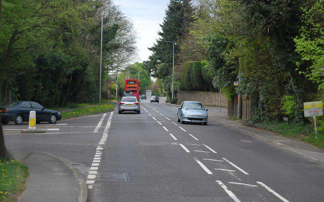 Photo could not load
TQ5130 : The junction of Church Rd and Beacon Rd (A26)
N Chadwick
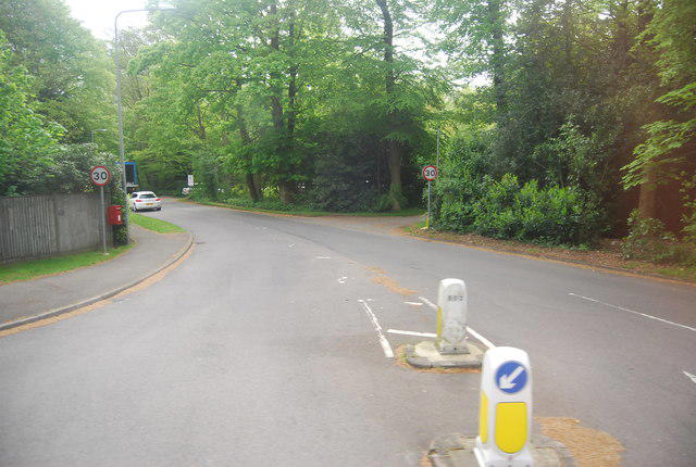 Photo could not load
TQ5130 : Church Rd
N Chadwick
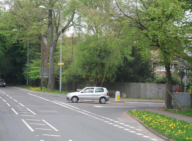 Photo could not load
TQ5130 : Church Rd off the A26
N Chadwick
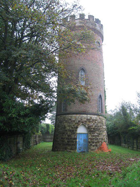 Photo could not load
TQ5130 : Beacon Water Tower, Crowborough
Rude Health
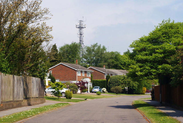 Photo could not load
TQ5130 : Woodside, Crowborough, Sussex
Peter Trimming
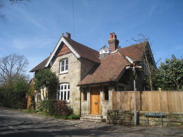 Photo could not load
TQ5130 : Sandstone House on Warren Road
Oast House Archive
Hill facts and local notes
Classifications
Elevation
242m
794 ft
Prominence
159m
Coordinates
51.0551, 0.1539
TQ510306
OS Map
188 199
Explorer: 135
At the Summit
The summit features a trig point, providing a great spot for photos, as well as an information board detailing the surrounding landscape.
Terrain & Geology
Crowborough is primarily composed of sandstones and clays from the Wealden Series, making the area rich in natural history and interesting geological formations.
Views & Scenery
From the summit, you can see the Ashdown Forest, and on a clear day, even the North Downs in the distance.
History & Heritage
Name Origin
The name Crowborough is thought to derive from 'Crow's hill', linking it to the local folklore of crows inhabiting the area.
Historical Significance
Crowborough has historical significance as a former spa town, known for its health treatments in the 19th century, attracting visitors seeking restorative benefits.
Getting There & Facilities
Parking
Crowborough Leisure Centre car park offers ample space and is conveniently located for starting your hike.
Public Transport
Crowborough railway station is a short walk away, with connections to London and Uckfield.
Nearby Facilities
There are several pubs and cafes in Crowborough, including the White Hart and Costa Coffee, where you can refuel after your hike. Restroom facilities are available at the Leisure Centre.
Safety Information
Known Hazards
- Watch out for muddy sections after rainfall, and make sure to follow marked paths to avoid straying into dense woods.
General Safety Tips
- Check weather conditions before setting out
- Carry appropriate clothing and equipment
- Let someone know your planned route
- Take a map, compass, and GPS device
- Carry emergency supplies: food, water, first aid kit, torch
Hills
Some common questions about the hills answered
Are there group walks up Crowborough?
Many walkers use Walkmates to join or organise walks with others. You can check for group walks around Crowborough through the maps
Are there other walkers around Crowborough?
Activity varies by location and time, but Walkmates lets you see whether others have shared walks or shown interest in this area. Find other people through the walking friends search walking friends for Crowborough search or of course create your own walk for Crowborough
Can I organise a walk to Crowborough?
Yes. If there aren’t any walks listed already, you can create a walk and make it available for others to join.
If you're signed up to Walkmates, you can create a walk to Crowborough.
How do I find a walk up this hill?
There are often multiple ways to walk this hill, depending on experience and route preference. Walkmates helps you explore walks and routes that others have shared.
Can I suggest a new route up Crowborough?
Yes. You can suggest or create routes to share with others. Walkmates focuses on the social side of walking, so routes are used to help people organise walks and explore areas together, rather than as detailed navigation tools or route libraries.
Other uses really appreciate knowledgeable walkers sharing their routes. Share your favourite route to Crowborough here
The is an error or something incorrect about this hill. How do I let you know?
We always strive to keep the information on Walkmates as accurate as possible. If you find an error, please let us know through the contact form and we'll aim to correct it as quickly as possible
Community Discussion
Comments
Location
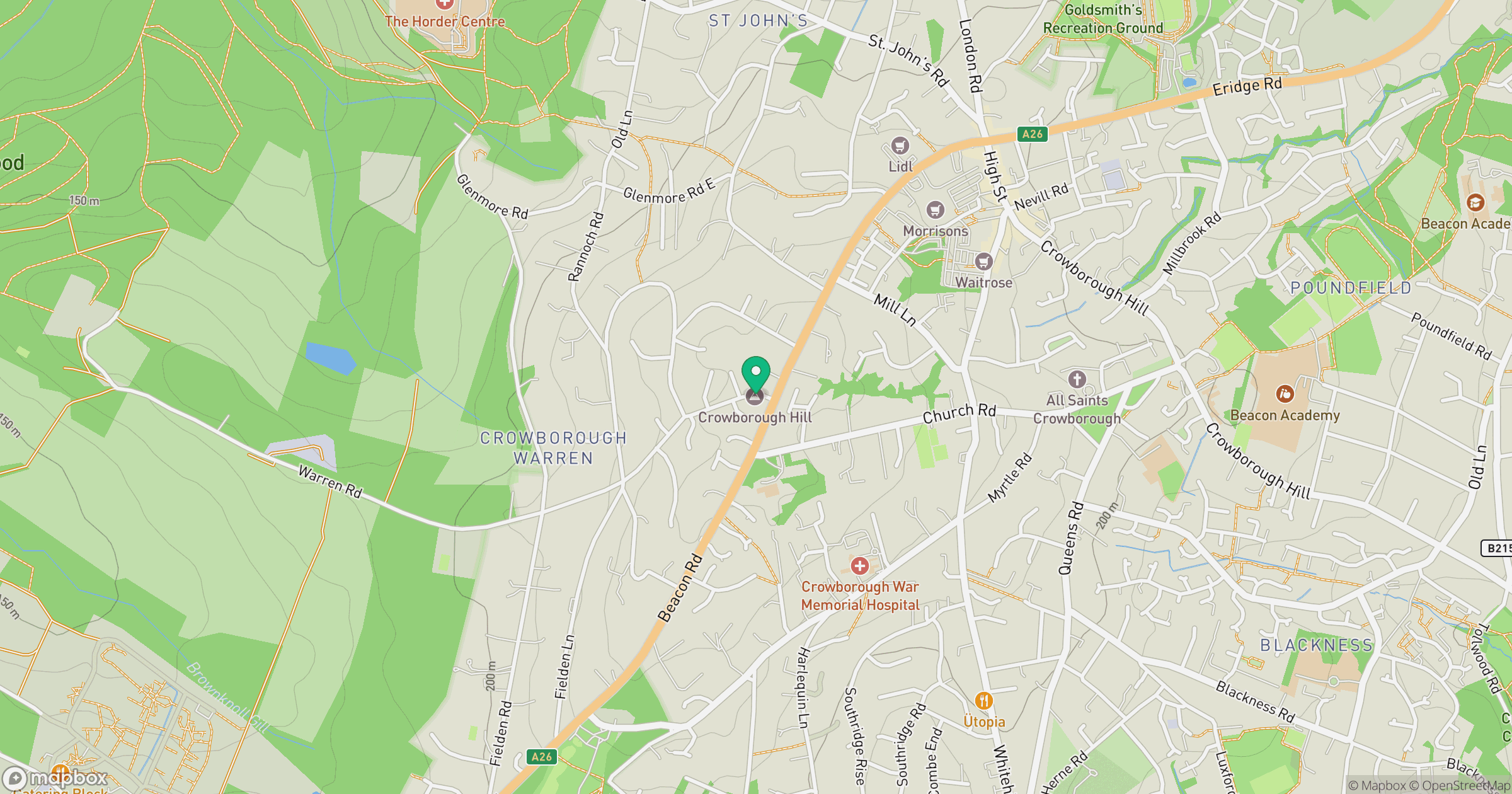
Grid reference: TQ510306
View on OpenStreetMapOpens a map in a new tab, centred on the hill.
Nearby Hills
Ditchling Beacon
248m
Leith Hill
294m
Worcestershire Beacon
425m
Glastonbury Tor
158m
The Roaches
505m
No comments yet. Be the first.