

Whitehope Heights
Good walks are even better shared.
Overview
Exploring Whitehope Heights
Nestled within the picturesque backdrop of the Southern Uplands, Whitehope Heights is a gem for outdoor enthusiasts. Standing proudly at 610 meters, it’s not the tallest peak by any means, but what it lacks in elevation, it makes up for in charm and panoramic views.
Geology
The region is predominantly made of sandstone, formed during the ancient Devonian period. As you tread along the routes, you may observe fascinating rock formations that tell a story—if only the rocks could talk, right?
Access and Facilities
Accessing this beloved hill is relatively easy, with parking available at the Tweedsmuir village hall. Just make sure to save enough space for the adorable locals, and perhaps a wandering sheep or two! While public transport is limited, being within a stone's throw of Moffat means you'll find all necessary facilities like cafes and toilets to refresh after your adventure.
Routes
The recommended route is the Whitehope Heights Circular Walk, a moderate trek stretching about 8 kilometres. It's a lovely way to immerse yourself in the scenic beauty of the area, traversing rolling hills and lush heather moors. Expect to spend roughly 3.5 hours completing this circuit.
Summit Features
At the top, you'll find a substantial cairn, a great place to pause, take photos, and contemplate life—not to mention the fabulous views!
Views
The vistas from Whitehope Heights are simply outstanding. Look out towards the Moffat Hills and, on especially clear days, the captivating outlines of the Lake District. Spring and autumn are perfect times to visit, as the colours are vibrant and the views unobstructed.
Hazards
Do keep an eye on your feet; some parts of the terrain can become quite boggy after rain, which may lead to a bit of a slip and slide. Always wise to bring sturdy footwear!
Conclusion
Whitehope Heights may not claim the title of 'highest peak,' but with its welcoming character, rich surroundings, and a sprinkle of local folklore, it’s bound to become a favourite for your next hike. Grab your boots, pack your sense of adventure, and make sure to say hello to the local sheep!
Explore routes near Whitehope Heights
Public walks starting within 80 km of this hill. Nearby does not mean a route reaches the summit; check its map and access before setting out.
Moffat Gallow Hill Woodland and Viewpoint Circuit
View route
Forest of Ae Water of Ae Riverside Trail
View route
Cademuir Forest Pilots Trail
View route
Peebles to Neidpath Castle: Tweed Riverside Walk
View route
Route planning notes
These notes describe possible approaches, not verified navigable routes or permission to cross land. Check current paths, local access rules and conditions before setting out.
Whitehope Heights Circular Walk
A delightful circuit from the nearby village of Tweedsmuir, taking in the rolling hills and heather-filled moors.
Make a day of it, together
Find someone to share the walk with, or organise a day out along a route you like.
Photo Gallery
View all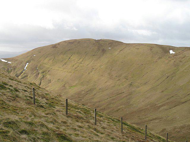 Photo could not load
NT0913 : Whitehope Heights
Richard Webb
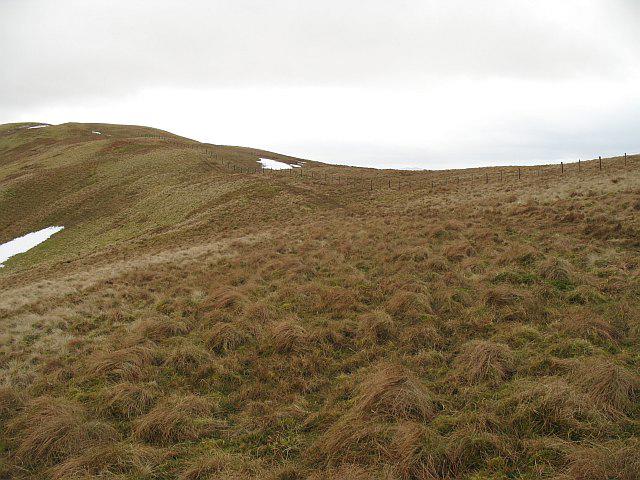 Photo could not load
NT0914 : Whitehope Heights
Richard Webb
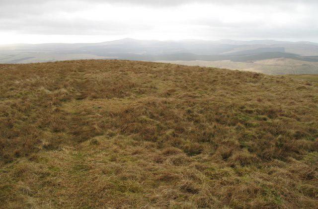 Photo could not load
NT0913 : Summit, Whitehope Heights
Richard Webb
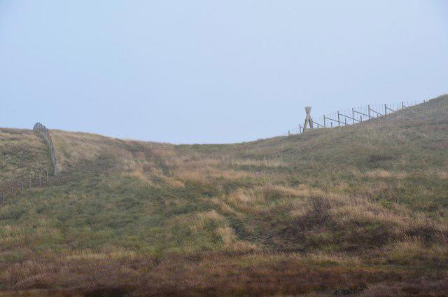 Photo could not load
NT0913 : Ladder stile near the summit of Whitehope Heights
Jim Barton
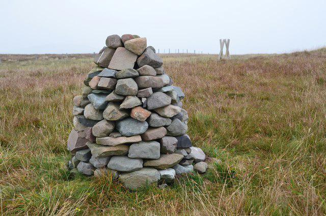 Photo could not load
NT0913 : Cairn on Whitehope Heights
Jim Barton
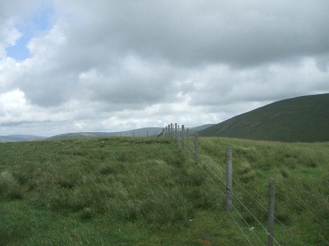 Photo could not load
NT0913 : Whitehope Heights
Iain Russell
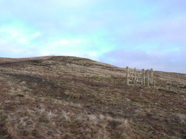 Photo could not load
NT0913 : New deer-fence on Whitehope Heights
Gordon Brown
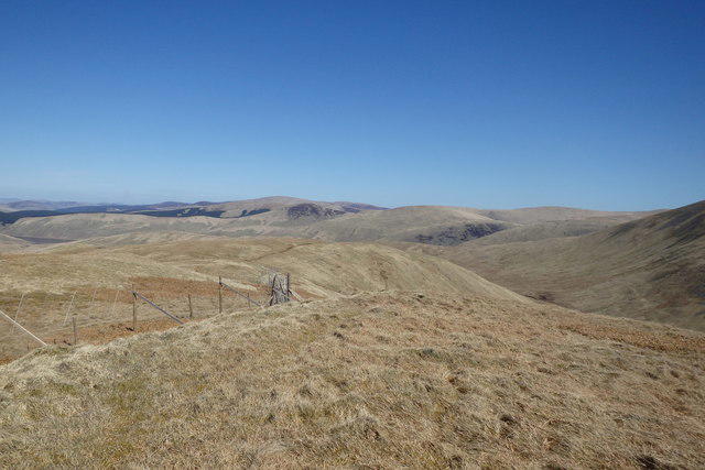 Photo could not load
NT0913 : On Whitehope Heights
Michael Graham
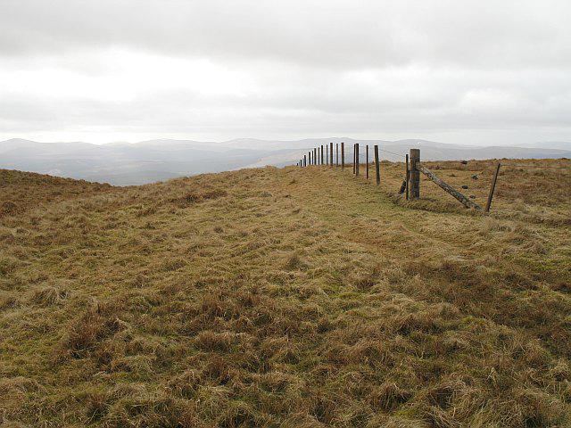 Photo could not load
NT0913 : Fence corner on Whitehope Heights
Richard Webb
Hill facts and local notes
Classifications
Elevation
637m
2,090 ft
Prominence
109m
Coordinates
55.4107, -3.4298
NT095139
OS Map
78
Explorer: 330
At the Summit
The summit boasts a sizeable cairn which, according to local legend, was built by disgruntled sheep who wanted a better view.
Terrain & Geology
The area primarily consists of sandstone with a few outcrops of granite, offering a unique viewpoint into the geological history of the region. The sandstone formations are believed to have formed during the Devonian period.
Views & Scenery
From the summit, enjoy sweeping views of the Moffat Hills and the rolling landscapes of the Southern Uplands. On a clear day, you might even spot the distant outline of the Lake District.
History & Heritage
Name Origin
The name 'Whitehope' likely derives from 'White', indicating the colour of the hills under certain lighting, and 'hope', which is a local term for a valley.
Historical Significance
Whitehope Heights holds cultural significance for hikers and is referenced in local folklore as a hunting ground for local wildlife.
Getting There & Facilities
Check current local access restrictions, parking rules and transport timetables before travelling. These notes do not confirm public access to the summit.
Parking
Parking is available at the Tweedsmuir village hall, which accommodates several vehicles. Just make sure to leave room for the locals!
Public Transport
There are limited bus services connecting Tweedsmuir to larger towns like Moffat and Biggar, so plan your journey accordingly. Otherwise, a solid friend with a car works too!
Nearby Facilities
The nearest facilities are in Moffat, including cafes, restaurants, and public toilets. Ideal for refuelling after your hike!
Safety Information
Known Hazards
- Wet and boggy sections can be tricky, especially after heavy rain. Be prepared to navigate some muddy patches.
General Safety Tips
- Check weather conditions before setting out
- Carry appropriate clothing and equipment
- Let someone know your planned route
- Take a map, compass, and GPS device
- Carry emergency supplies: food, water, first aid kit, torch
Hills
Some common questions about the hills answered
Are there group walks up Whitehope Heights?
Many walkers use Walkmates to join or organise walks with others. You can check for group walks around Whitehope Heights through the maps
Are there other walkers around Whitehope Heights?
Activity varies by location and time, but Walkmates lets you see whether others have shared walks or shown interest in this area. Find other people through the walking friends search walking friends for Whitehope Heights search or of course create your own walk for Whitehope Heights
Can I organise a walk to Whitehope Heights?
Yes. If there aren’t any walks listed already, you can create a walk and make it available for others to join.
If you're signed up to Walkmates, you can create a walk to Whitehope Heights.
How do I find a walk up this hill?
There are often multiple ways to walk this hill, depending on experience and route preference. Walkmates helps you explore walks and routes that others have shared.
Can I suggest a new route up Whitehope Heights?
Yes. You can suggest or create routes to share with others. Walkmates focuses on the social side of walking, so routes are used to help people organise walks and explore areas together, rather than as detailed navigation tools or route libraries.
Other uses really appreciate knowledgeable walkers sharing their routes. Share your favourite route to Whitehope Heights here
The is an error or something incorrect about this hill. How do I let you know?
We always strive to keep the information on Walkmates as accurate as possible. If you find an error, please let us know through the contact form and we'll aim to correct it as quickly as possible
Community Discussion
Comments
Location
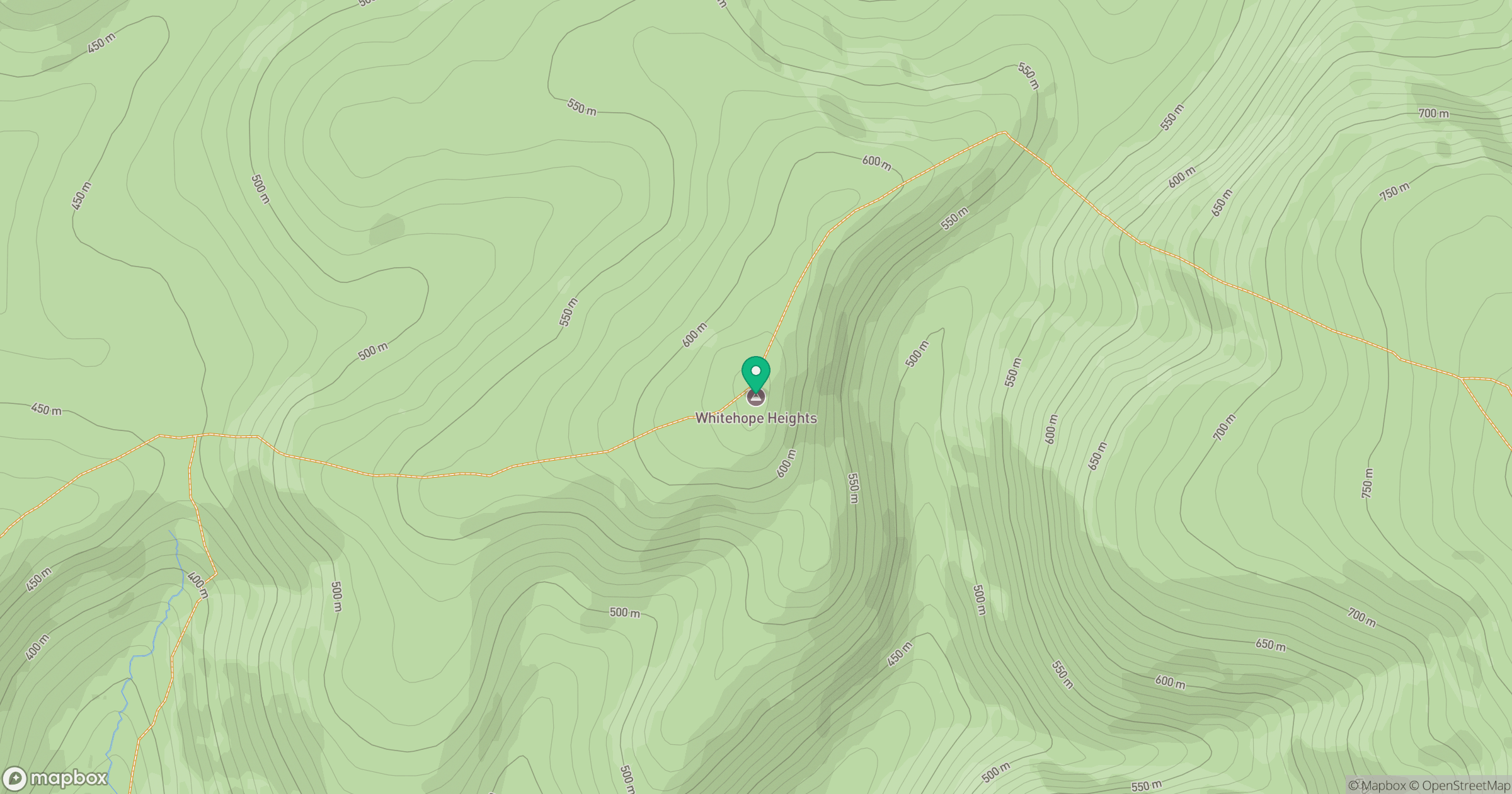
Grid reference: NT095139
View on OpenStreetMapOpens a map in a new tab, centred on the hill.
Hills within 30 km
Straight-line distance, not a walking route or confirmation of access.

No comments yet. Be the first.