

White Tor
Good walks are even better shared.
SX5478 : Building near White Tor
Derek Harper Photo source
Overview
White Tor: A Dartmoor Gem
Nestled in Dartmoor National Park, White Tor stands proudly at an elevation of 424 meters, known for its striking granite composition that draws in hikers and geologists alike.
Geology
White Tor's granite formations mark a significant chapter in Dartmoor's geological history. Over time, natural weathering processes have sculpted the tor into its current rugged profile, showcasing both beauty and the raw power of nature. If you’re looking to impress your friends with newfound geological knowledge, this is the place to start!
Routes
A popular route up White Tor is the Dartmoor Skywalk, beginning from the parking area at SX 554 787. Covering a distance of 5 km, the hike generally takes around 2 hours and falls within the moderate difficulty range. It’s a splendid walk for those wanting to stretch their legs while enjoying spectacular views.
Summit Features
The summit features a prominent granite tor, ideal for a sit-down and a snack, with its awe-inspiring panoramic views of the Dartmoor landscape. The small stone cairn on the top is also a popular backdrop for hikers' selfies – because who doesn’t want proof they’ve conquered a tor?
Terrain
Expect a rocky terrain interspersed with graceful patches of grass. Some boulders may challenge your footsteps, but fear not! There's nothing that a determined hiker can't tackle on a good day.
Views
From the summit of White Tor, the views are nothing short of breathtaking. You’ll find yourself gazing upon the sprawling Dartmoor Heath and the striking peaks of adjacent summits like Great Mis Tor and Rough Tor. Late spring and early autumn provide the best views, when vibrant heather covers the moor. Remember, nothing quite beats a cuppa atop a hill!
Hazards
Dartmoor’s weather can be mercurial, so be prepared for a sudden downpour or a treacherous mist! The terrain can be uneven, so tread carefully, especially around the rocky outcrops. It’s not just the sheep that can get lost on these moors!
Nearby Summits
If you're feeling adventurous after conquering White Tor, why not check out nearby Great Mis Tor or Rough Tor? Both present their own unique challenges and views, perfect for a day of exploration.
Access
You can easily reach White Tor via the nearest parking at SX 554 787. If public transport is more your style, Tavistock has regular buses, and a cheeky taxi ride will get you from town to the parking spot.
Although facilities at the foot of the mountain are sparse, Tavistock offers plenty of cafes and other amenities to be sure you’re fueled up for your trek.
Conclusion
So, lace up those boots, pack a sandwich or two, and don't forget the camera! White Tor is calling all hikers – whether you fancy a gentle jaunt or an invigorating adventure, this Dartmoor gem won’t disappoint. Happy hiking!
Explore routes near White Tor
Walks starting near this hill. Open a route to check its map, distance and full itinerary.
Granite Way: Lydford village to Okehampton Station
View route
Cotehele: Danescombe Valley and Mining Heritage Circuit
View route
Castle Drogo and Fingle Bridge: Teign Gorge woodland circuit
View route
Moretonhampstead to Lustleigh: Wray Valley woodland railway trail
View route
Route planning notes
These notes describe possible approaches. Check a route's map and access information when planning your walk.
Dartmoor Skywalk
Starting from the nearby parking area at SX 554 787, this route allows you to traverse the ancient landscape of Dartmoor while enjoying sweeping views.
Make a day of it, together
Find someone to share the walk with, or organise a day out along a route you like.
Photo Gallery
View all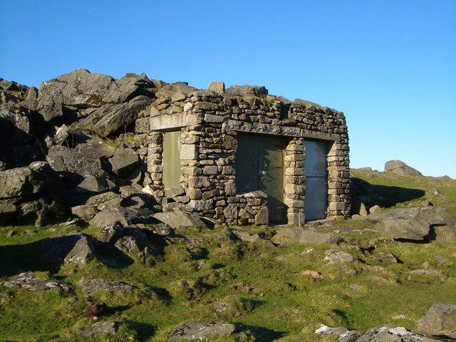 Photo could not load
SX5478 : Building near White Tor
Derek Harper
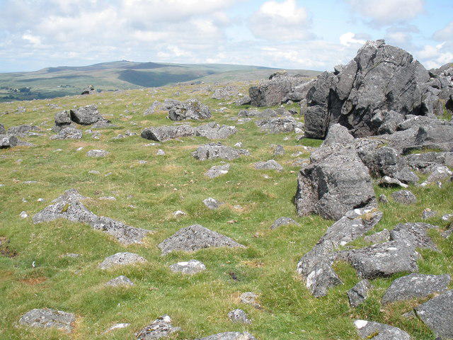 Photo could not load
SX5478 : Granite boulders, near White Tor
Roger Cornfoot
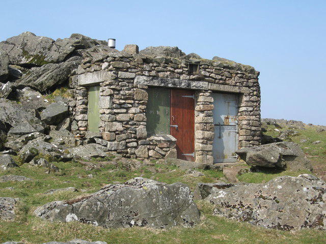 Photo could not load
SX5478 : Observation Post, White Tor
Chris Andrews
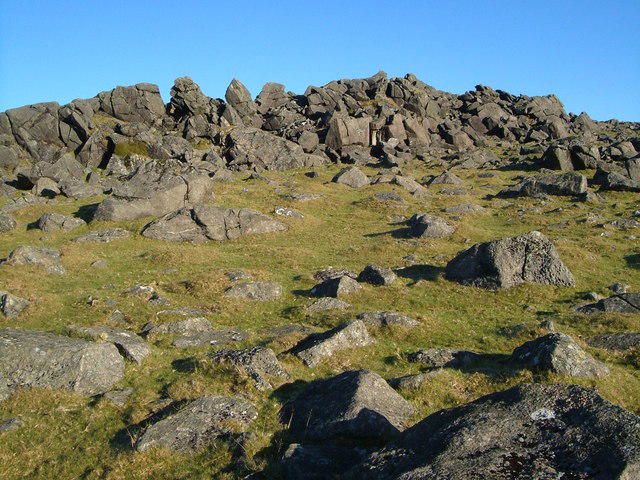 Photo could not load
SX5478 : White Tor
Derek Harper
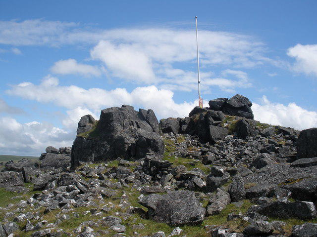 Photo could not load
SX5478 : The summit of White Tor
Roger Cornfoot
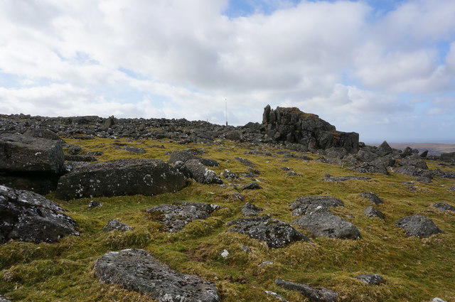 Photo could not load
SX5478 : Part of White Tor
jeff collins
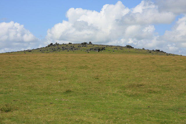 Photo could not load
SX5478 : White Tor
Guy Wareham
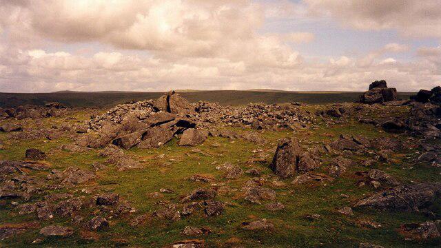 Photo could not load
SX5478 : Interior of the Neolithic Hilltop Enclosure at White Tor
Sandy Gerrard
Hill facts and local notes
Classifications
Elevation
469m
1,538 ft
Prominence
30m
Coordinates
50.5895, -4.0599
SX542786
OS Map
191 201
Explorer: OL28N
At the Summit
The summit is marked by a prominent granite tor, which offers breathtaking panoramic views of the surrounding moors and Dartmoor's jagged landscape. A small stone cairn also sits on the top, providing a photo opportunity for keen hikers.
Terrain & Geology
White Tor is primarily composed of granite, which is characteristic of the Dartmoor area. The rock formations provide an intriguing insight into the geological history of the region, with weathered granite resulting in both craggy outcrops and gentle slopes.
Views & Scenery
From the summit, you can enjoy stunning views of the rolling Dartmoor landscape, along with sights of the nearby peaks such as Great Mis Tor and the sprawling expanse of Dartmoor Heath.
History & Heritage
Name Origin
The 'White' in White Tor likely refers to the striking light colour of the granite, particularly when glistening after a rain shower.
Historical Significance
Historically, Dartmoor has been an area of human activity with numerous archaeological sites, including stone circles and ancient settlements, showcasing its significance in prehistoric Britain.
Getting There & Facilities
Parking
The nearest parking is at SX 554 787, a small but accessible area that can accommodate several cars. It's recommended to arrive early on weekends to secure a spot.
Public Transport
Regular bus services operate to the town of Tavistock, from which a taxi or a bike can be hired to reach the parking area.
Nearby Facilities
There are limited facilities on-site; however, Tavistock has a range of cafes and public toilets. Be sure to stock up on refreshments before setting out on your adventure.
Safety Information
Known Hazards
- Watch out for sudden weather changes typical of Dartmoor. The terrain can also be uneven, so take care while walking on rocky surfaces. Keep an eye on the weather and be prepared for Dartmoor's notorious mists.
General Safety Tips
- Check weather conditions before setting out
- Carry appropriate clothing and equipment
- Let someone know your planned route
- Take a map, compass, and GPS device
- Carry emergency supplies: food, water, first aid kit, torch
Hills
Some common questions about the hills answered
Are there group walks up White Tor?
Many walkers use Walkmates to join or organise walks with others. You can check for group walks around White Tor through the maps
Are there other walkers around White Tor?
Activity varies by location and time, but Walkmates lets you see whether others have shared walks or shown interest in this area. Find other people through the walking friends search walking friends for White Tor search or of course create your own walk for White Tor
Can I organise a walk to White Tor?
Yes. If there aren’t any walks listed already, you can create a walk and make it available for others to join.
If you're signed up to Walkmates, you can create a walk to White Tor.
How do I find a walk up this hill?
There are often multiple ways to walk this hill, depending on experience and route preference. Walkmates helps you explore walks and routes that others have shared.
Can I suggest a new route up White Tor?
Yes. You can suggest or create routes to share with others. Walkmates focuses on the social side of walking, so routes are used to help people organise walks and explore areas together, rather than as detailed navigation tools or route libraries.
Other uses really appreciate knowledgeable walkers sharing their routes. Share your favourite route to White Tor here
The is an error or something incorrect about this hill. How do I let you know?
We always strive to keep the information on Walkmates as accurate as possible. If you find an error, please let us know through the contact form and we'll aim to correct it as quickly as possible
Community Discussion
Comments
Location
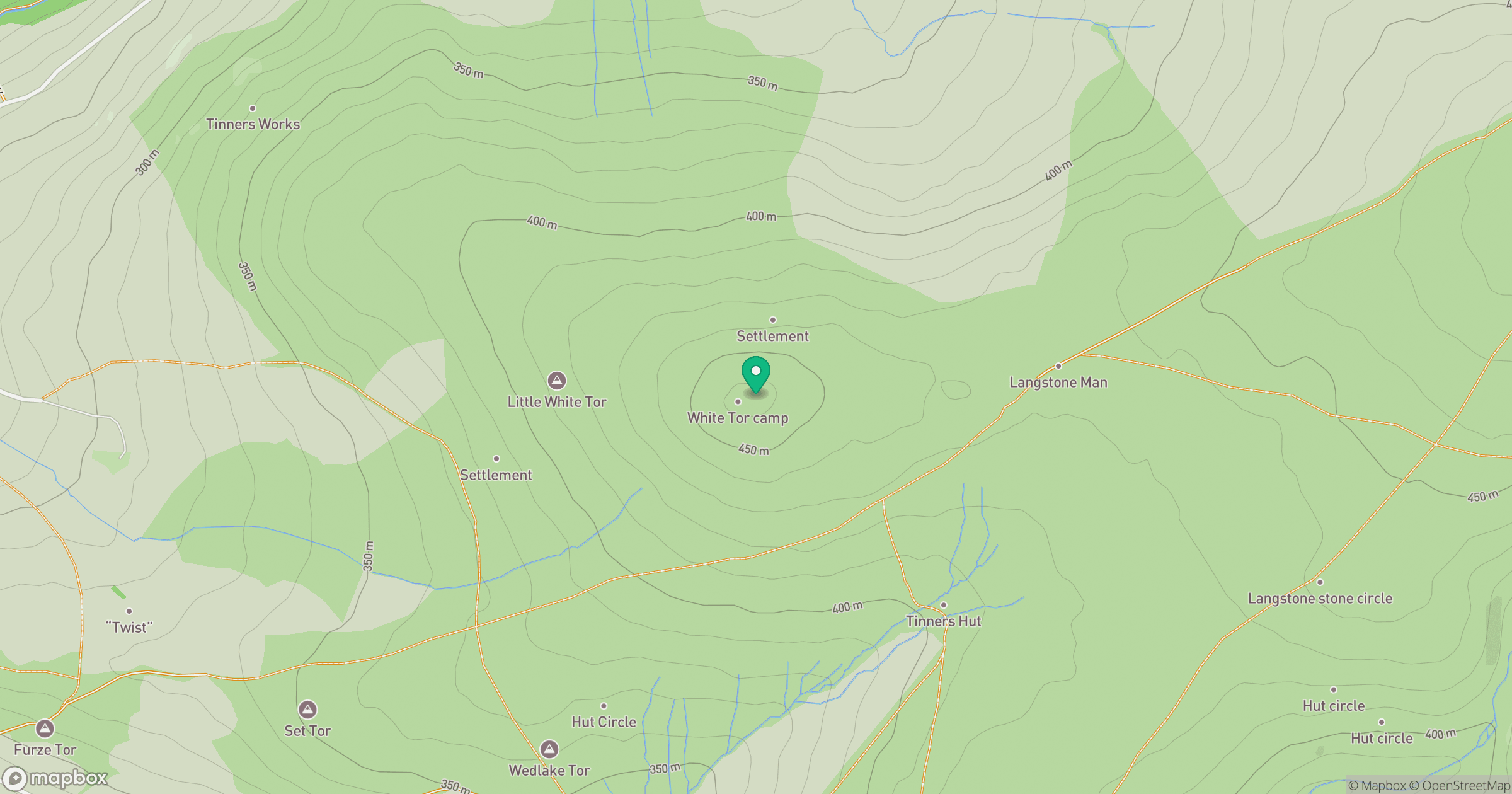
Grid reference: SX542786
View on OpenStreetMapOpens a map in a new tab, centred on the hill.
Nearby Hills

Brent Tor
334m

High Willhays
622m
Brown Willy
420m

Dunkery Beacon
520m
Rhossili Down - The Beacon
193m
No comments yet. Be the first.