

Kilmar Tor
Good walks are even better shared.
Overview
Kilmar Tor
Kilmar Tor, rising to 310 meters above sea level, is a splendid example of the rugged beauty found within the Cornish landscape. Nestled in the heart of Cornwall, it is classified as a Marilyn due to its prominence relative to the surrounding terrain.
Geology
Kilmar Tor is primarily composed of granite, which is characteristic of the Dartmoor area. The rock formations give it a rugged appearance, dotted with granite outcrops and boulders that provide excellent climbing opportunities for enthusiasts.
Routes
One of the most popular hiking routes is the Kilmar Tor Circular Walk. This scenic trail starts from the nearby hamlet of St Breward, covering approximately 5 km. It's a moderate hike that takes about 2.5 hours to complete. Expect a combination of rocky terrain and grassy paths, ensuring you're not just walking on flat ground—after all, the fun is in the challenge!
Summit Features
Reaching the summit of Kilmar Tor, you'll be greeted by a prominent granite outcrop crowned with a small cairn. It’s the perfect photo op and a great excuse to catch your breath. A trig point located a short distance from the primary summit offers additional historical context—serving as a navigational tool for early mapmakers and a great conversation starter.
Views
The summit rewards those who make the trek with breathtaking views. Notable landmarks visible include Bodmin Moor and the North Cornish coast, with good weather possibly revealing the Isle of Lundy on the horizon. Late spring or autumn are the best seasons for hiking here, as the terrain bursts into vibrant colours and the sky opens up for clarity.
Hazards
Though Kilmar Tor is accessible, there are a few hazards. The rocky terrain can be uneven, especially when it’s wet. Be cautious of loose stones underfoot—after all, no one likes to take an unexpected tumble. Visibility can also shift in moorland areas, so pack a map and a compass.
Access
For those keen to visit, there is a small parking area near St Breward. The parking is free but can fill up quickly during peak seasons. If you prefer public transport, there is a bus service running from Bodmin to St Breward—a quick jaunt brings you to the trailhead.
Facilities
While Kilmar Tor is a wild and natural area, amenities are sparse. The nearest place for a hearty meal or cup of tea is the local pub in St Breward, where you can recharge after your adventure.
History
The name 'Kilmar' is thought to derive from old Cornish, possibly meaning 'the hill of the martyrs', reflecting its historical and cultural significance in local folklore. Like many tors in the region, Kilmar has been a site of interest for centuries, often associated with local legends and historical stories that add a rich layer to the hike.
In summary, Kilmar Tor has it all: stunning views, interesting geology, and a fascinating history. Just remember to take care on the rocky paths and don’t forget your camera—it’s a sight worth capturing!
Explore routes near Kilmar Tor
Public walks starting within 80 km of this hill. Nearby does not mean a route reaches the summit; check its map and access before setting out.
Cotehele: Danescombe Valley and Mining Heritage Circuit
View route
Lanhydrock: Deer Wall, River Fowey and Woodland Circuit
View route
Camel Trail: Bodmin Scarletts Well to Wenfordbridge
View route
Lansallos and Polperro coast-and-lanes circuit
View route
Route planning notes
These notes describe possible approaches, not verified navigable routes or permission to cross land. Check current paths, local access rules and conditions before setting out.
Kilmar Tor Circular Walk
A scenic circular route starting from a nearby hamlet, offering stunning views of the surrounding moors and the unique granite features of Kilmar Tor.
Make a day of it, together
Find someone to share the walk with, or organise a day out along a route you like.
Photo Gallery
View all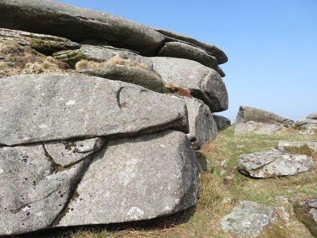 Photo could not load
SX2574 : Old Boundary Marker on Kilmar Tor
P G Moore
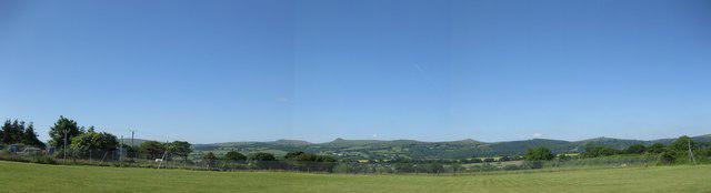 Photo could not load
SX2574 : Kilmar Tor from Coad's Green
Ken Ripper
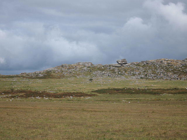 Photo could not load
SX2574 : High Rock, Kilmar Tor
Chris Andrews
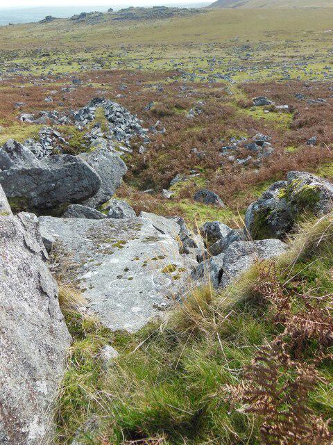 Photo could not load
SX2574 : Old Boundary Marker on Kilmar Tor
P G Moore
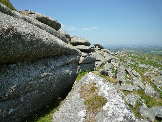 Photo could not load
SX2574 : Rocks and trig point, Kilmar Tor ridge
Maurice D Budden
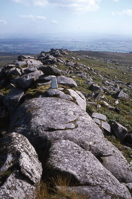 Photo could not load
SX2574 : Summit of Kilmar Tor, Bodmin Moor
Colin Park
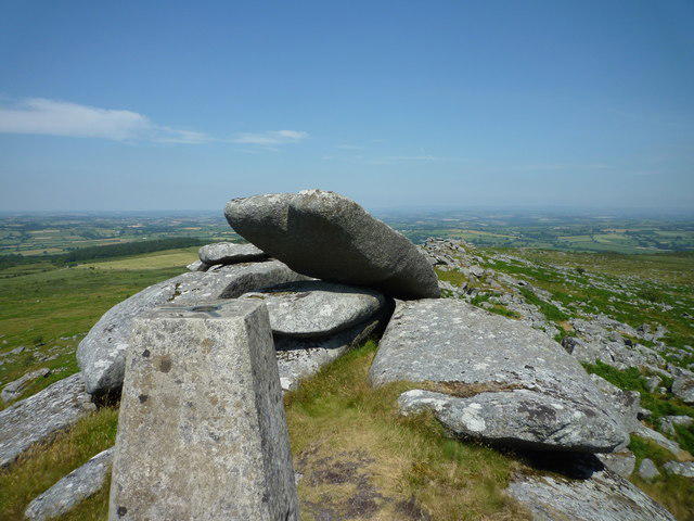 Photo could not load
SX2574 : Trig point and nearby rocks, Kilmar Tor ridge
Maurice D Budden
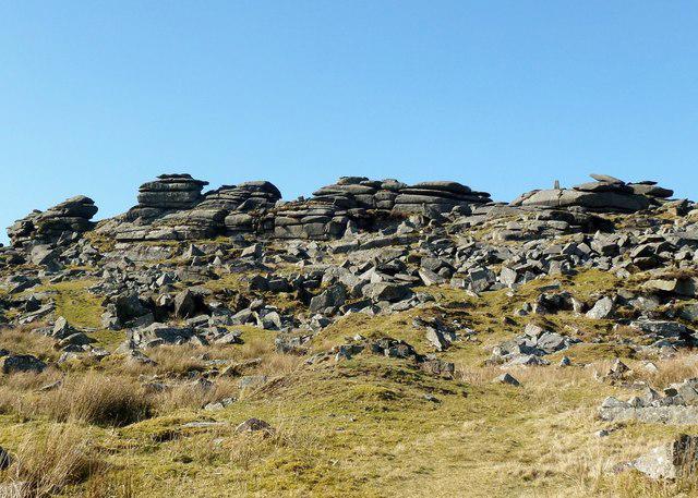 Photo could not load
SX2574 : Kilmar Tor
Rude Health
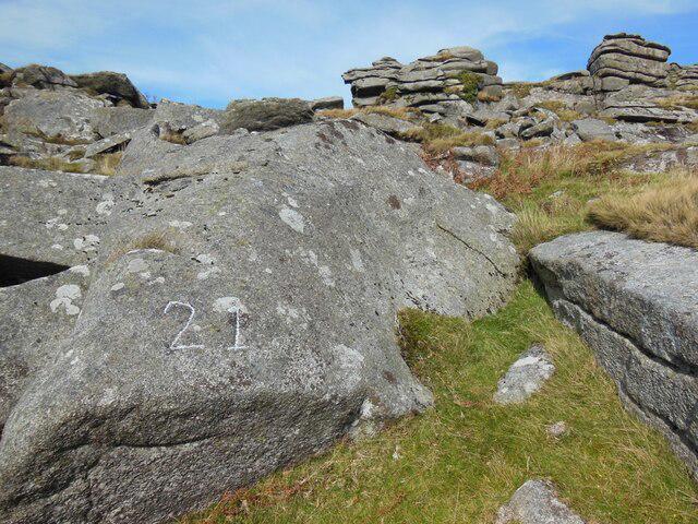 Photo could not load
SX2574 : Old Boundary Marker on Kilmar Tor
P G Moore
Hill facts and local notes
Classifications
Elevation
396m
1,299 ft
Prominence
118m
Coordinates
50.5475, -4.4679
SX252748
OS Map
201
Explorer: 109
At the Summit
The summit features a prominent granite outcrop with a small cairn, which offers a perfect photo opportunity for hikers. A trig point a short distance away provides a navigational aid and adds historical significance.
Terrain & Geology
Kilmar Tor is primarily composed of granite, which is characteristic of the Dartmoor area. The rock formations give it a rugged appearance, dotted with granite outcrops and boulders that provide excellent climbing opportunities for enthusiasts.
Views & Scenery
From the summit, hikers can enjoy views of Bodmin Moor, the distant North Cornish coast, and on clear days, even as far as the Isle of Lundy.
History & Heritage
Name Origin
The name 'Kilmar' is thought to derive from old Cornish, possibly meaning 'the hill of the martyrs', reflecting its historical and cultural significance in local folklore.
Historical Significance
Kilmar Tor, like many of the nearby tors, has been a site of interest for centuries, often associated with local legends and historical stories of the area.
Getting There & Facilities
Check current local access restrictions, parking rules and transport timetables before travelling. These notes do not confirm public access to the summit.
Parking
There is a small parking area near the hamlet of St Breward, about 2 km from the trailhead. Parking is free but limited in space.
Public Transport
The nearest bus service operates from Bodmin to St Breward, with a short walk to the trailhead required.
Nearby Facilities
There are no facilities directly at Kilmar Tor; however, St Breward offers a local pub and convenience store for refreshments.
Safety Information
Known Hazards
- Care should be taken when navigating the rocky terrain, as loose stones can be slippery. Also, visibility can change quickly in moorland areas, so it's wise to be prepared.
General Safety Tips
- Check weather conditions before setting out
- Carry appropriate clothing and equipment
- Let someone know your planned route
- Take a map, compass, and GPS device
- Carry emergency supplies: food, water, first aid kit, torch
Hills
Some common questions about the hills answered
Are there group walks up Kilmar Tor?
Many walkers use Walkmates to join or organise walks with others. You can check for group walks around Kilmar Tor through the maps
Are there other walkers around Kilmar Tor?
Activity varies by location and time, but Walkmates lets you see whether others have shared walks or shown interest in this area. Find other people through the walking friends search walking friends for Kilmar Tor search or of course create your own walk for Kilmar Tor
Can I organise a walk to Kilmar Tor?
Yes. If there aren’t any walks listed already, you can create a walk and make it available for others to join.
If you're signed up to Walkmates, you can create a walk to Kilmar Tor.
How do I find a walk up this hill?
There are often multiple ways to walk this hill, depending on experience and route preference. Walkmates helps you explore walks and routes that others have shared.
Can I suggest a new route up Kilmar Tor?
Yes. You can suggest or create routes to share with others. Walkmates focuses on the social side of walking, so routes are used to help people organise walks and explore areas together, rather than as detailed navigation tools or route libraries.
Other uses really appreciate knowledgeable walkers sharing their routes. Share your favourite route to Kilmar Tor here
The is an error or something incorrect about this hill. How do I let you know?
We always strive to keep the information on Walkmates as accurate as possible. If you find an error, please let us know through the contact form and we'll aim to correct it as quickly as possible
Community Discussion
Comments
Location
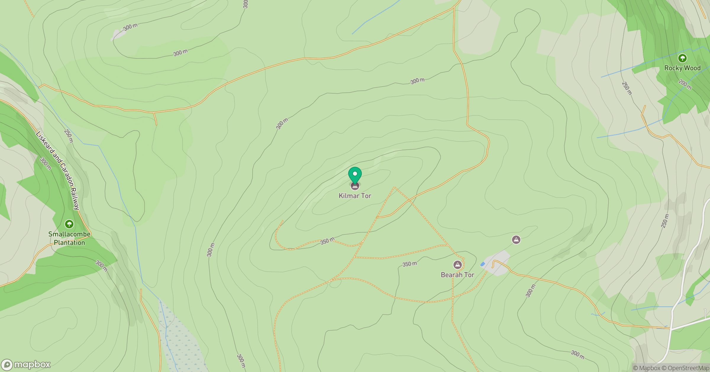
Grid reference: SX252748
View on OpenStreetMapOpens a map in a new tab, centred on the hill.
Hills within 30 km
Straight-line distance, not a walking route or confirmation of access.
No comments yet. Be the first.