
Wallace's Rig
Good walks are even better shared.
Overview
Wallace's Rig
Introduction
Wallace's Rig is a delightful Marilyn located in the scenic Scottish Borders. At an elevation of 345 meters, it may not be the grandest peak around, but it packs a punch when it comes to stunning views and a peaceful hiking experience. If you're after the perfect escape into nature, this wee hill might just be a fitting choice.
Geology
Hiking up Wallace's Rig, you'll encounter geology that tells a story of ancient landscapes. The predominance of sandstone here hints at a dynamic history, shaped by geological processes dating back to the Carboniferous period. These intriguing layers and formations make for a fascinating backdrop as you ascend.
Routes
The most popular route starts from the Hinton car park, a simple yet pleasant jaunt that stretches approximately 5.2 kilometers. The path is well-trodden, but a sense of adventure is never far away, especially when you're surrounded by the panoramic landscapes.
Summit Features
Upon reaching the summit, don’t forget to admire the modest cairn. It may not be as flashy as some, but it serves as a perfect picnic spot. You’re at the top! Unpack those sandwiches and reward yourself!
Terrain
Expect grassy slopes with some rocky outcrops. However, tread carefully, as the terrain can become a tad boggy, especially in the wetter months. Waterproof boots and gaiters are advisable for those looking to keep feet dry and mud-free.
Views
The views from Wallace's Rig are nothing shy of spectacular. You’ll be greeted with stunning vistas of the rolling hills, and on particularly clear days, you may even spot the neighbouring Cheviot Hills. A little bird told me that there’s often a sheep or two up here as well, keen to share your views.
Hazards
While this mountain isn’t particularly treacherous, it’s essential to watch your step on the muddy sections. And watch where you’re walking—those sheep sure know how to leave landmines!
Nearby Summits
If you’re keen to extend your hiking adventure, consider nearby peaks, such as Cauldle Hill and Black Hill. Each has its own charm and splendid views to offer.
Access
Accessing Wallace’s Rig is straightforward. The nearest parking area is at Hinton, which can accommodate a few vehicles. However, do bear in mind it can fill up quickly during sunny weather. Public transport is limited, so you may want to consider a car. The charming town of Langholm is your closest stop if you require refreshments before or after your trek.
Facilities
Facilities on the mountain are non-existent, but don’t worry! Head back to Langholm for a lovely café and the simple joy of a clean toilet.
History
While Wallace's Rig sports a name linked to the legendary William Wallace, there’s some fantastical local lore suggesting it's named for a cheeky sheepdog. Either way, the area is rich with Scottish heritage, and it’s worth taking a moment to appreciate the tales carried through the winds of time.
Conclusion
So, whether you’re an experienced hiker or simply looking for a delightful day out with nature, Wallace's Rig promises much in the way of tranquillity and gentle exercise. Pack your gear, grab a buddy, and make your way to this charming hill—you might find it to be a breath of fresh air in more ways than one!
Look after our Scottish landscape; don’t forget to take your rubbish home with you!
Explore routes near Wallace's Rig
Walks starting near this hill. Open a route to check its map, distance and full itinerary.
Castle Douglas Carlingwark Loch and Lover’s Walk Circuit
View route
Threave Nature Reserve River Dee Circuit
View route
Doach Wood Douglas Trail and Solway Viewpoint
View route
Dalbeattie Forest Plantain Loch Trail
View route
Route planning notes
These notes describe possible approaches. Check a route's map and access information when planning your walk.
From the Car Park at Hinton
A popular and straightforward route leading to the summit with minimal navigation required.
Make a day of it, together
Find someone to share the walk with, or organise a day out along a route you like.
Hill facts and local notes
Classifications
Elevation
269m
881 ft
Prominence
32m
Coordinates
55.1288, -4.0521
NX692835
OS Map
77
Explorer: 320
At the Summit
The summit features a modest cairn, which, if you squint just right, might even look like an artistic sculpture to some.
Terrain & Geology
Predominantly formed from sandstone, with interesting sedimentary layers indicating a rich history of geological activity. The rock formations can be traced back to the Carboniferous period.
Views & Scenery
From the summit, gaze upon the stunning rolling hills of the Scottish Borders, and on a clear day, catch sight of the Cheviot Hills to the south. Keep an eye out for the occasional sheep taking in the scenery as well.
History & Heritage
Name Origin
Named likely after the famous Scottish figure William Wallace, though some speculate it was a local sheepdog with a penchant for mischief.
Historical Significance
The area is steeped in history, with links to the Scottish Wars of Independence and local folklore.
Getting There & Facilities
Parking
Hinton car park (NX703820), suitable for a few cars, but it gets full on sunny weekends.
Public Transport
Limited; the best option is to reach nearby villages by bus or car and hike from there.
Nearby Facilities
No facilities on the mountain itself; the nearest café and toilets can be found in Langholm.
Safety Information
Known Hazards
- Mud and uneven ground, especially after rain. Be cautious of sheep droppings - they're a hazard to your boots if not your footing!
General Safety Tips
- Check weather conditions before setting out
- Carry appropriate clothing and equipment
- Let someone know your planned route
- Take a map, compass, and GPS device
- Carry emergency supplies: food, water, first aid kit, torch
Hills
Some common questions about the hills answered
Are there group walks up Wallace's Rig?
Many walkers use Walkmates to join or organise walks with others. You can check for group walks around Wallace's Rig through the maps
Are there other walkers around Wallace's Rig?
Activity varies by location and time, but Walkmates lets you see whether others have shared walks or shown interest in this area. Find other people through the walking friends search walking friends for Wallace's Rig search or of course create your own walk for Wallace's Rig
Can I organise a walk to Wallace's Rig?
Yes. If there aren’t any walks listed already, you can create a walk and make it available for others to join.
If you're signed up to Walkmates, you can create a walk to Wallace's Rig.
How do I find a walk up this hill?
There are often multiple ways to walk this hill, depending on experience and route preference. Walkmates helps you explore walks and routes that others have shared.
Can I suggest a new route up Wallace's Rig?
Yes. You can suggest or create routes to share with others. Walkmates focuses on the social side of walking, so routes are used to help people organise walks and explore areas together, rather than as detailed navigation tools or route libraries.
Other uses really appreciate knowledgeable walkers sharing their routes. Share your favourite route to Wallace's Rig here
The is an error or something incorrect about this hill. How do I let you know?
We always strive to keep the information on Walkmates as accurate as possible. If you find an error, please let us know through the contact form and we'll aim to correct it as quickly as possible
Community Discussion
Comments
Location
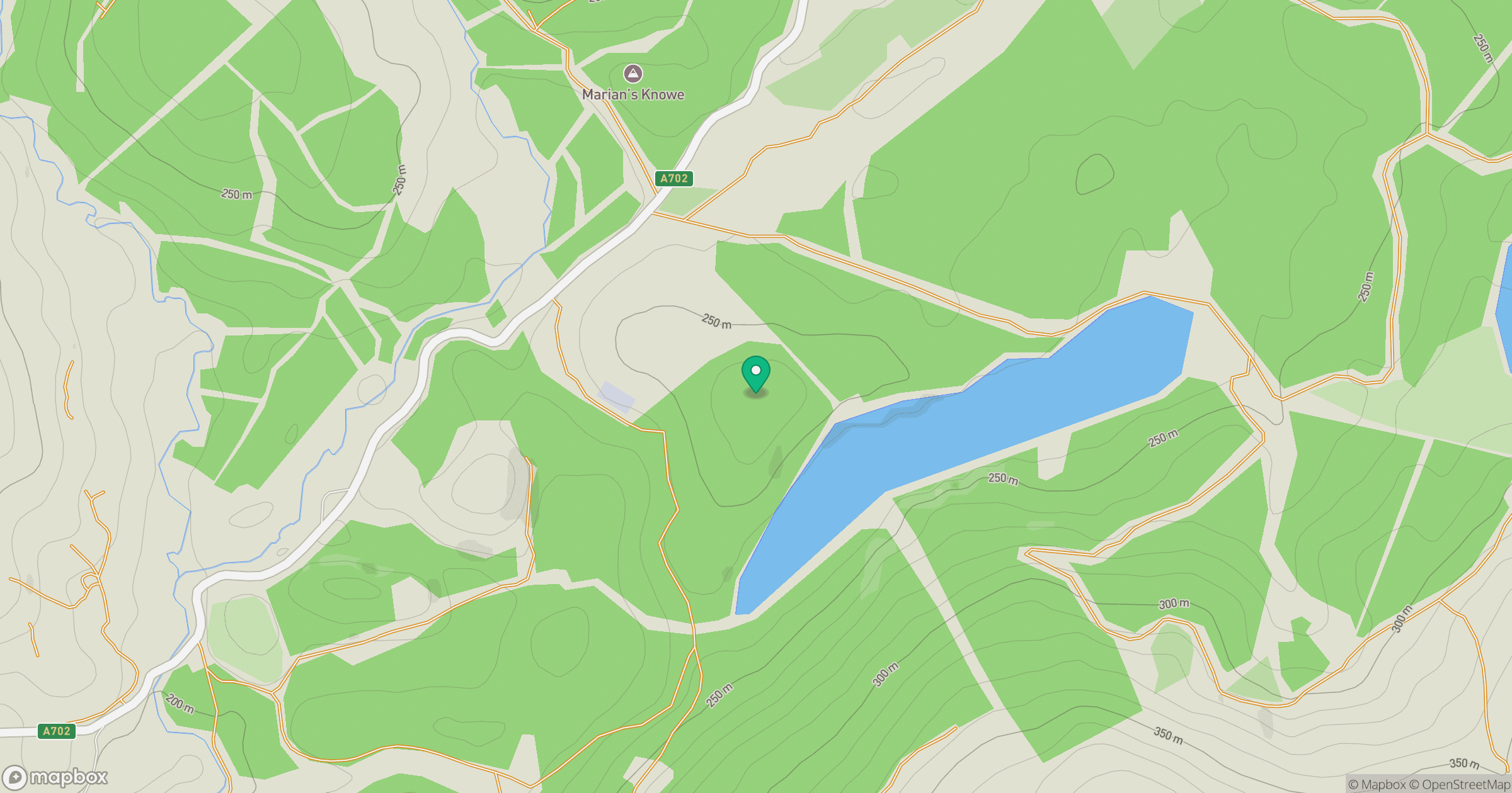
Grid reference: NX692835
View on OpenStreetMapOpens a map in a new tab, centred on the hill.

No comments yet. Be the first.