
Doach Wood Douglas Trail and Solway Viewpoint
- Distance
- 1.9 mi
- Est. time
- 1h 30m
- Difficulty
- Medium
About this walk
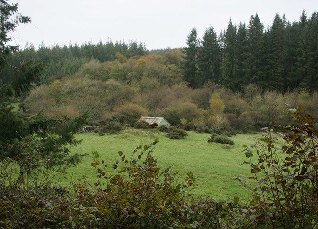
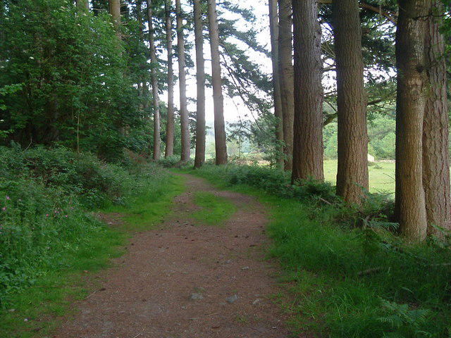
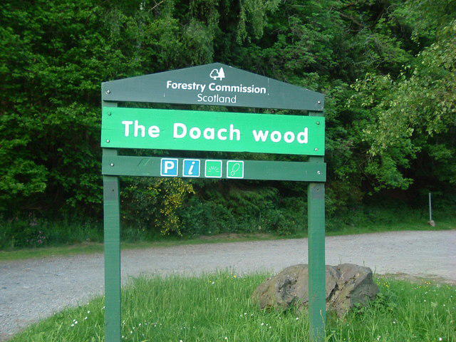
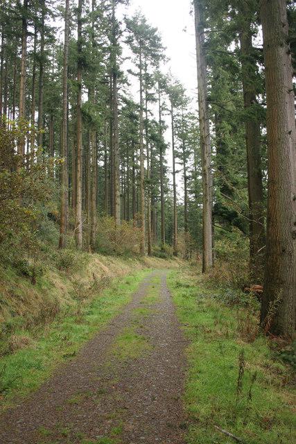
Start at the small Forestry and Land Scotland car park beside the B736, about two miles from Palnackie. Follow the yellow Douglas Trail from the eastern walking exit. Take the lower woodland path first, passing the mature Douglas firs as the trail follows the edge of the wood towards its southeastern end.
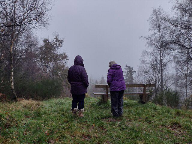
The path turns uphill and joins the forest track. Follow the yellow markers onto the upper woodland loop, taking the short signed spur to the viewpoint. In clear weather, the outlook includes the Solway coast and Hestan Island, with the Lake District beyond. Return from the viewpoint to the junction, follow the marked path west, then descend through the trees to rejoin the lower path and the car park.
Allow about one and a half hours. This is a short walk with a proper climb: FLS grades it strenuous, with long steep slopes, uneven gravel, earth paths and exposed roots. Boots with a good grip are useful, especially after rain. Take the descent steadily and keep away from slippery edges at the viewpoint. The trail is sheltered for much of its length, but fallen branches and forestry notices can change the route. Keep dogs under control and leave wildlife undisturbed.
The public forest car park is currently free. Bring drinking water and plan toilet or refreshment stops in Castle Douglas or Dalbeattie, as those facilities are not provided in the wood. The complete yellow circuit and viewpoint spur were checked against the FLS trail map, council walking leaflet and current visitor information on 3 October 2026.
Walk details
- County
- Dumfries and Galloway
- Walk type
- Circular
- Category
- Park / Green space
- Distance
- 1.9 mi (3.0 km)
- Est. time
- 1h 30m
- Explorer
- Yes, off the beaten track
Route map
Use the route details to plan your walk
If the map image does not load, the route description and starting-point details are still on this page.
The interactive map will load when you reach this section.
Where to start
Directions to startWalking on your own?
Start when you're ready and add the walk to your history. No group date needed.
Photos
View all 24 →This walk is waiting for a date
Not ready to pick a date? Follow it and you'll hear when somebody else does.
No commitment. You can follow it now and pick a date later.
More walks nearby
Other routes starting close to this one
Castle Douglas Carlingwark Loch and Lover’s Walk Circuit
Threave Nature Reserve River Dee Circuit
Rockcliffe to Kippford Jubilee Path and Waterfront
Explore more: Walks in Dumfries and Galloway
Joining a walk
A few things to know before you make plans.
Can I join if no one else is going?
You can be the first to join a scheduled walk. A suggested date is an idea for a group walk; choose Set this date up to organise it. Check the participant list and meeting details before setting off.
What if there is no date yet?
Choose Put a date on this walk to organise a group walk. Not ready to choose a day? Follow the route for scheduling updates, or save it for later.
What does the organiser do?
The organiser sets the date and meeting details and helps the group get started. They are a fellow walker and may be new to the route too.
Each walker is responsible for their own safety and navigation. Check the route, weather, equipment and whether the walk suits your experience and fitness.
Can I walk this route on my own?
Yes. Choose Walk this route on your own to open the start screen, then start when you are ready. Finish the walk to add it to your walking history. You do not need a group date.
What happens after I join?
Use the walk page to check meeting details, updates and who is going. Check in from 24 hours before the start to let the group know you still plan to come.
How do I confirm plans with the group?
Check the participant list and check-ins, and message the organiser or other walkers to confirm where to meet and who is coming. This is especially useful when the group is small.
