

Colt Hill
Good walks are even better shared.
NX6998 : Fence and wall rising to summit of Colt Hill
Trevor Littlewood Photo source
Overview
Colt Hill: A Hiker's Delight
Nestled in the Southern Uplands of Scotland, Colt Hill might not have the towering height of its neighbours but certainly boasts a beauty all its own. Standing at a modest elevation of 290 meters, this Marilyn provides a satisfying adventure with stunning views of the surrounding countryside.
Geology
The geology of Colt Hill is particularly fascinating. It mainly consists of sedimentary rock, specifically sandstone with bits of limestone thrown in for good measure. If you’re lucky, you might even spot some intriguing stratification patterns while you catch your breath!
Routes
One of the most popular trails is the Colt Hill Circular Route, starting from the lovely village of Wiston. This moderate 8.5 km hike meanders through charming farmland and woodland—perfect for practicing your 'Instagram' skills. Expect to take around 2.5 hours to complete, more if you stop for frequent selfie breaks.
Summit Features
Reaching the summit, you will be greeted by a large stone cairn, complete with a wooden post marking the peak. Don’t forget to add a stone to the cairn; it’s an age-old tradition that ensures you leave a mark, even if it’s a tiny one!
Terrain
Beware the blissful grassy slopes that can hide a few sneaky rocky patches. Colt Hill is ideal for anyone who enjoys a bit of natural flooring. Just watch your step!
Views
Once at the top, prepare to be dazzled by panoramic views. You can marvel at the distinctive outline of Tinto Hill and enjoy the rolling landscapes of the Southern Uplands. On particularly clear days, you might even catch a glimpse of the Pentland Hills—just remember, the picture might only last a moment!
Hazards
While the path is generally safe, do keep an eye out for any boggy areas, especially after a good downpour. And don’t forget the local livestock; they might be more curious about you than you are about them!
Access
Parking is conveniently located in Wiston village, but it’s as popular as a sunny day in Scotland, so arrive early! Public transport should be checked beforehand for updates, as it can be a bit wonky.
Facilities
While Colt Hill itself is a wilderness of natural wonders, Wiston offers a delightful café and public toilets, because let’s face it, nature calls!
History
The name 'Colt' hints at its historical roots as grazing land for young horses, adding a touch of whimsy to your hike. The hill has woven itself into local folklore and remains a cherished spot for outdoor activities across the years.
Conclusion
In summary, Colt Hill is a fantastic little escapade for hikers seeking scenic views without the toil of epic climbs. So grab your gear, put on those hiking boots, and let Colt Hill charm you with its beauty!
Explore routes near Colt Hill
Walks starting near this hill. Open a route to check its map, distance and full itinerary.
Forest of Ae Water of Ae Riverside Trail
View route
Carrick Forest Drive: Stinchar Bridge to Loch Doon
View route
Loch Trool: Full Loch and Oak Woodland Circuit
View route
Castle Douglas Carlingwark Loch and Lover’s Walk Circuit
View route
Route planning notes
These notes describe possible approaches. Check a route's map and access information when planning your walk.
Colt Hill Circular Route
A scenic circuit that starts from the nearby village of Wiston, taking you around the hill and back through lovely farmland and woodland.
Make a day of it, together
Find someone to share the walk with, or organise a day out along a route you like.
Photo Gallery
View all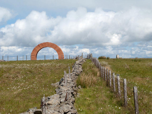 Photo could not load
NX6998 : Fence and wall rising to summit of Colt Hill
Trevor Littlewood
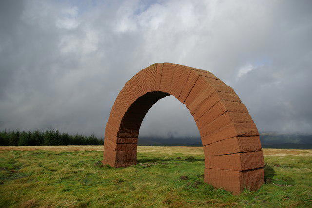 Photo could not load
NX6998 : Striding Arch sculpture by Andy Goldsworthy on Colt Hill
Leslie Barrie
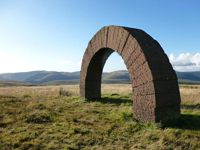 Photo could not load
NX6998 : Striding Arch on Colt Hill
Alan O'Dowd
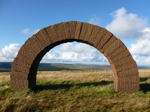 Photo could not load
NX6998 : Striding Arch on Colt Hill
Alan O'Dowd
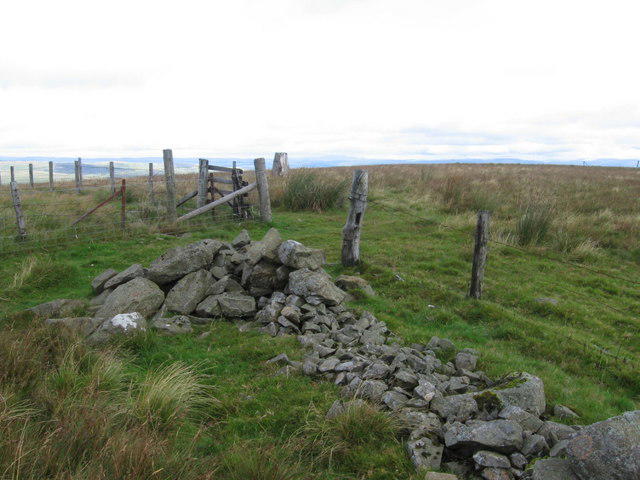 Photo could not load
NX6998 : Colt Hill trig point S5985
Chris Wimbush
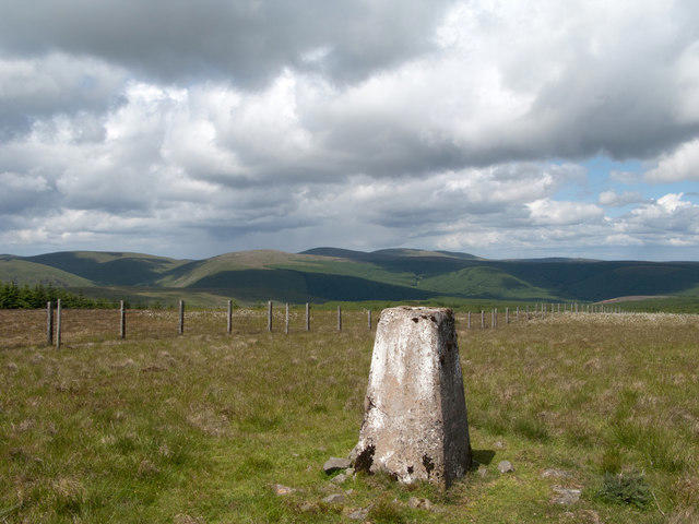 Photo could not load
NX6999 : Grassy moorland with fence north of summit of Colt Hill
Trevor Littlewood
Hill facts and local notes
Classifications
Elevation
598m
1,962 ft
Prominence
245m
Coordinates
55.2680, -4.0495
NX698990
OS Map
77
Explorer: 328S
At the Summit
The summit features a large stone cairn and a modest wooden post marking the highest point, a true testament to 'build-a-cairn' enthusiasts.
Terrain & Geology
Predominantly composed of sedimentary rock including sandstone and some limestone. The stratification provides unique patterns visible along the slopes.
Views & Scenery
Panoramic views of the nearby Tinto Hill and the expansive rolling hills of the Southern Uplands, and on a clear day, the hint of the Pentland Hills can be seen.
History & Heritage
Name Origin
'Colt' may refer to the area being a common grazing ground for young horses in historical times.
Historical Significance
The hill has been part of local folklore and serves as a picturesque backdrop to many regional outdoor activities.
Getting There & Facilities
Parking
Parking available at Wiston village with enough space for around 10 cars. Fair warning: it can fill up quickly during sunny weekends.
Public Transport
Accessible via bus services from nearby towns, check local timetables for current schedules.
Nearby Facilities
There are no facilities on the hill itself, but Wiston offers a cosy café and public toilets for pre- or post-hike comfort.
Safety Information
Known Hazards
- Care should be taken when crossing potentially boggy areas during wet seasons, and there may be livestock on the lower trails.
General Safety Tips
- Check weather conditions before setting out
- Carry appropriate clothing and equipment
- Let someone know your planned route
- Take a map, compass, and GPS device
- Carry emergency supplies: food, water, first aid kit, torch
Hills
Some common questions about the hills answered
Are there group walks up Colt Hill?
Many walkers use Walkmates to join or organise walks with others. You can check for group walks around Colt Hill through the maps
Are there other walkers around Colt Hill?
Activity varies by location and time, but Walkmates lets you see whether others have shared walks or shown interest in this area. Find other people through the walking friends search walking friends for Colt Hill search or of course create your own walk for Colt Hill
Can I organise a walk to Colt Hill?
Yes. If there aren’t any walks listed already, you can create a walk and make it available for others to join.
If you're signed up to Walkmates, you can create a walk to Colt Hill.
How do I find a walk up this hill?
There are often multiple ways to walk this hill, depending on experience and route preference. Walkmates helps you explore walks and routes that others have shared.
Can I suggest a new route up Colt Hill?
Yes. You can suggest or create routes to share with others. Walkmates focuses on the social side of walking, so routes are used to help people organise walks and explore areas together, rather than as detailed navigation tools or route libraries.
Other uses really appreciate knowledgeable walkers sharing their routes. Share your favourite route to Colt Hill here
The is an error or something incorrect about this hill. How do I let you know?
We always strive to keep the information on Walkmates as accurate as possible. If you find an error, please let us know through the contact form and we'll aim to correct it as quickly as possible
Community Discussion
Comments
Location
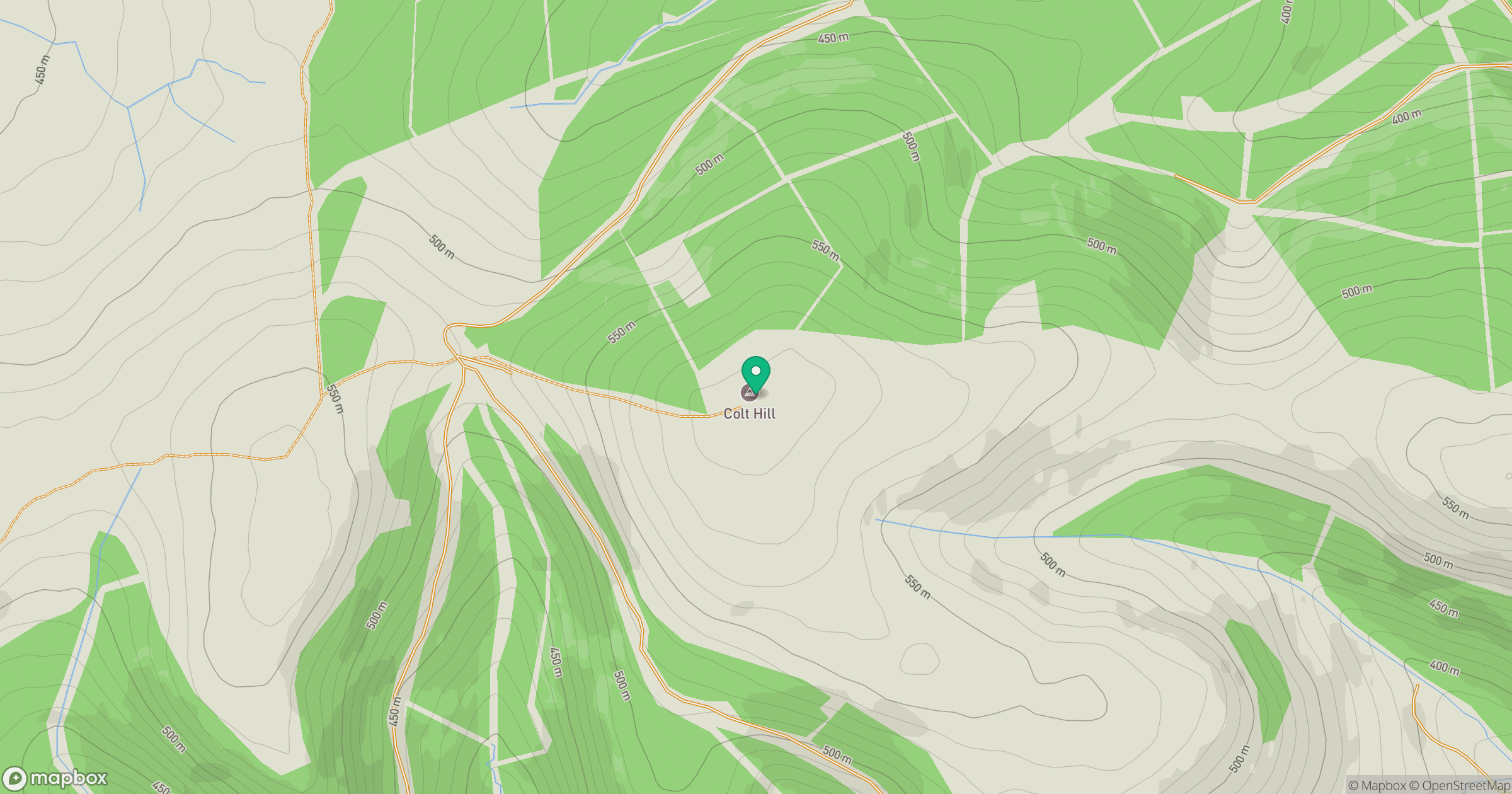
Grid reference: NX698990
View on OpenStreetMapOpens a map in a new tab, centred on the hill.

No comments yet. Be the first.