

Dundeugh Hill
Good walks are even better shared.
Overview
Dundeugh Hill
Introduction
Nestled in the Southern Uplands of Scotland, Dundeugh Hill stands at a respectable 469 meters, making it a fine spot for both seasoned hikers and those looking for an easier jaunt through the hills.
Geology
Dundeugh Hill is primarily composed of sedimentary rock formations characteristic of the Southern Uplands. The landscape features a delightful combination of rolling hills and rich moorland that tell the geological story of the region.
Routes
One of the most popular routes is the Dundeugh Hill Circular Route. This 8 km trek will take you roughly 3 hours, with moderate difficulty suitable for the whole family. You start from the charming hamlet of Dundeugh, weaving through grassy paths and captivating views before reaching the summit.
Summit Features
At the summit, you will be greeted by a modest cairn and a trig point—perfect for ticking off your hiking conquests! It's a prime spot to catch your breath while you soak in the scenery and snap that ever-important summit selfie.
Terrain Type
The terrain is mostly grassy with some rocky outcrops and patches of vibrant heather. Just the kind of gratitude your legs will express after a day spent exploring!
Views
From the top, the panoramic views are astonishing! On clear days, you can see the distant peaks of the Galloway Forest Park poking through the haze. Spring and Autumn are the best times to visit if you wish to enjoy these sights in favourable weather.
Hazards
Always keep an eye on the rapidly changing weather and be prepared for boggy patches after rainfall. Sensible footwear is your friend here—no one wants to be the person who goes home with soggy socks!
Nearby Summits
Dundeugh is a stone's throw from other notable hills, such as Wether Hill (537 meters) and Corserine (812 meters), making this a great base for exploring the flatter terrain.
Access
Getting there is simple enough. Park safely in the small layby on the A713 just south of the village. New Galloway, nearby, has fewer public transport options, so plan accordingly.
Facilities
After conquering Dundeugh Hill, treat yourself to a rewarding meal or coffee in New Galloway. The local pub and cafe are welcoming and provide much-needed amenities like toilets.
History
As for the name, 'Dundeugh' is presumed to stem from 'Dùn Deagh' in Scots Gaelic, hinting at a historical fort. While it may not have grand tales of glory, it is a cherished part of the local hiking culture.
So hoist your rucksack and set out to discover the delights of Dundeugh Hill! It promises a pleasant day out in nature, with just the right dose of adventure.
Explore routes near Dundeugh Hill
Public walks starting within 80 km of this hill. Nearby does not mean a route reaches the summit; check its map and access before setting out.
Carrick Forest Drive: Stinchar Bridge to Loch Doon
View route
Loch Trool: Full Loch and Oak Woodland Circuit
View route
Glentrool Water of Trool and Spout Head Trail
View route
Kirroughtree Little Bruntis Lochs and Woodland Trail
View route
Route planning notes
These notes describe possible approaches, not verified navigable routes or permission to cross land. Check current paths, local access rules and conditions before setting out.
Dundeugh Hill Circular Route
A scenic circular route starting from the small hamlet of Dundeugh, offering a pleasant mix of grassy paths and occasional rocky sections.
Make a day of it, together
Find someone to share the walk with, or organise a day out along a route you like.
Photo Gallery
View all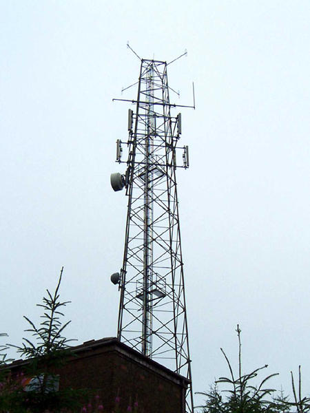 Photo could not load
NX6089 : Dundeugh Hill Police Tower
David Neale
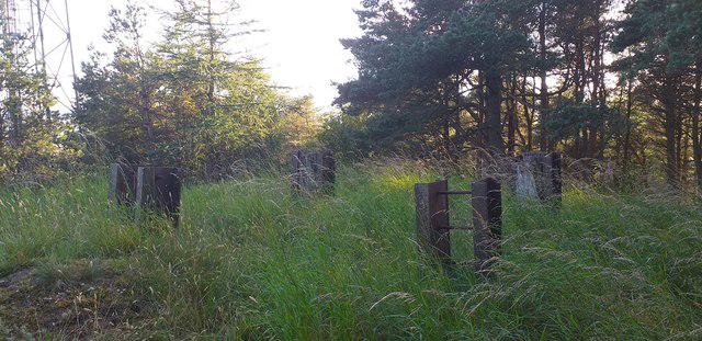 Photo could not load
NX6089 : Dundeugh Hill summit
Colin Kinnear
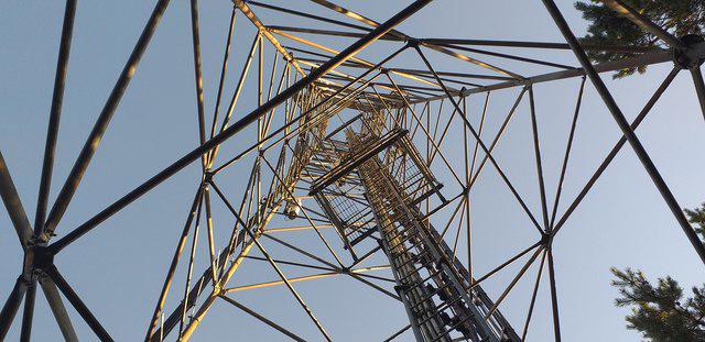 Photo could not load
NX6089 : Dundeugh Hill mast
Colin Kinnear
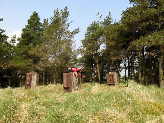 Photo could not load
NX6089 : Dundeugh Hill
Rude Health
Hill facts and local notes
Classifications
Elevation
271m
889 ft
Prominence
113m
Coordinates
55.1795, -4.1949
NX603894
OS Map
77
Explorer: 318
At the Summit
The summit features a modest cairn and a trig point that provides excellent navigation for wandering souls. It's the perfect spot for a rest, a snack, and taking the all-important summit selfie.
Terrain & Geology
Dundeugh Hill is primarily composed of sedimentary rock formations prevalent in the Southern Uplands, providing a varied landscape characterized by rolling hills and moorland.
Views & Scenery
From the summit, you can enjoy sweeping views of the surrounding Southern Uplands, with distant peaks and lush valleys. On a clear day, you may even catch a glimpse of the Galloway Forest Park.
History & Heritage
Name Origin
The name 'Dundeugh' could derive from the Scots Gaelic 'Dùn Deagh', meaning 'fort of the good'.
Historical Significance
While not steeped in grand historical events, the hill remains significant to local hikers and nature enthusiasts.
Getting There & Facilities
Check current local access restrictions, parking rules and transport timetables before travelling. These notes do not confirm public access to the summit.
Parking
There is a small layby on the A713 just south of Dundeugh village, where you can park safely. Make sure to avoid blocking access to private properties.
Public Transport
Bus services run to the nearby town of New Galloway, with connections to the A713. However, check the local timetable as services can be infrequent.
Nearby Facilities
The nearest facilities are located in New Galloway, where you can find a pub and a cafe, perfect for a post-hike treat. Toilets are also available at the cafe.
Safety Information
Known Hazards
- Beware of quickly changing weather conditions typical of the region. Some sections may be boggy after rain, so sturdy footwear is advised.
General Safety Tips
- Check weather conditions before setting out
- Carry appropriate clothing and equipment
- Let someone know your planned route
- Take a map, compass, and GPS device
- Carry emergency supplies: food, water, first aid kit, torch
Hills
Some common questions about the hills answered
Are there group walks up Dundeugh Hill?
Many walkers use Walkmates to join or organise walks with others. You can check for group walks around Dundeugh Hill through the maps
Are there other walkers around Dundeugh Hill?
Activity varies by location and time, but Walkmates lets you see whether others have shared walks or shown interest in this area. Find other people through the walking friends search walking friends for Dundeugh Hill search or of course create your own walk for Dundeugh Hill
Can I organise a walk to Dundeugh Hill?
Yes. If there aren’t any walks listed already, you can create a walk and make it available for others to join.
If you're signed up to Walkmates, you can create a walk to Dundeugh Hill.
How do I find a walk up this hill?
There are often multiple ways to walk this hill, depending on experience and route preference. Walkmates helps you explore walks and routes that others have shared.
Can I suggest a new route up Dundeugh Hill?
Yes. You can suggest or create routes to share with others. Walkmates focuses on the social side of walking, so routes are used to help people organise walks and explore areas together, rather than as detailed navigation tools or route libraries.
Other uses really appreciate knowledgeable walkers sharing their routes. Share your favourite route to Dundeugh Hill here
The is an error or something incorrect about this hill. How do I let you know?
We always strive to keep the information on Walkmates as accurate as possible. If you find an error, please let us know through the contact form and we'll aim to correct it as quickly as possible
Community Discussion
Comments
Location
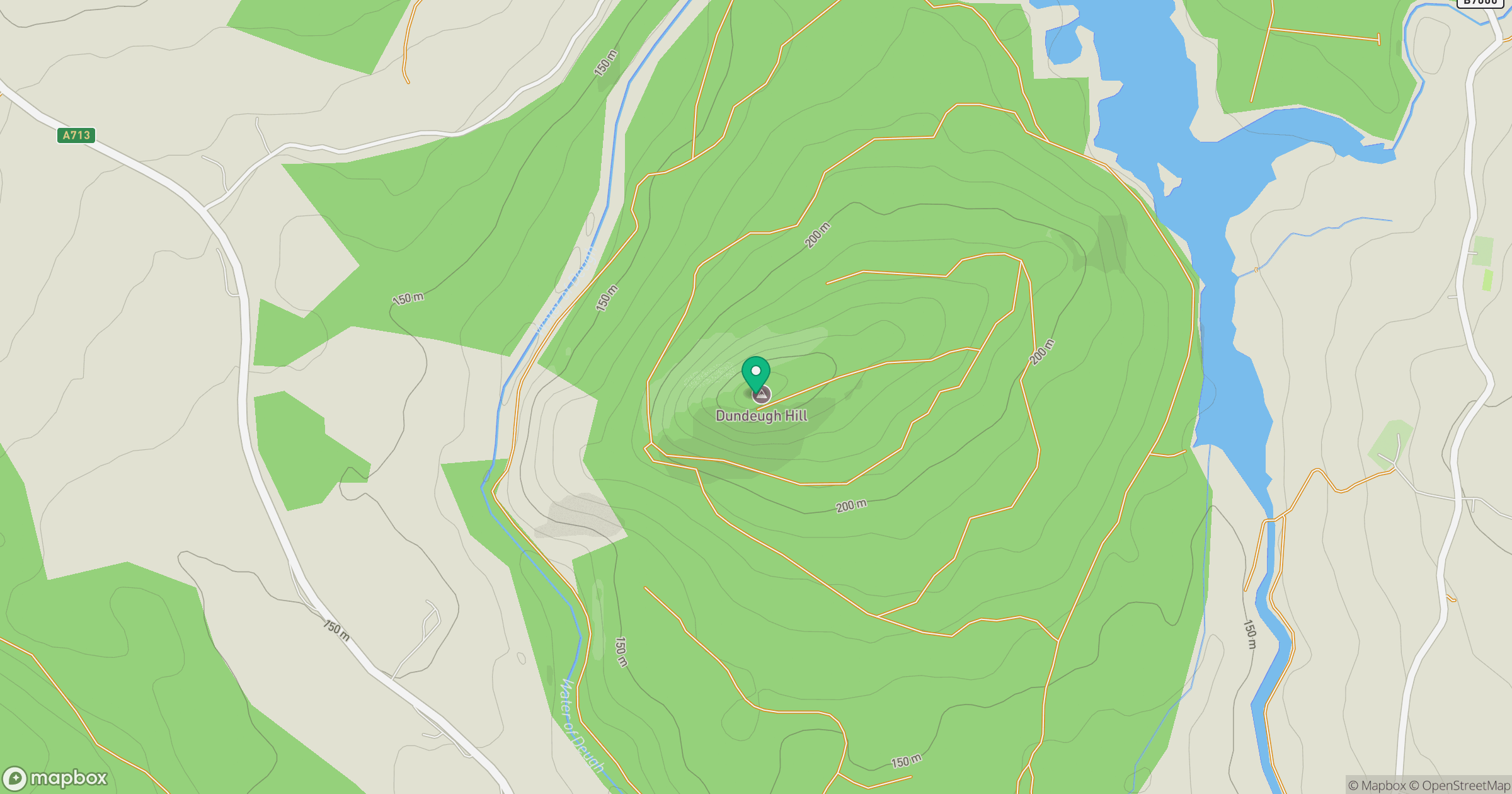
Grid reference: NX603894
View on OpenStreetMapOpens a map in a new tab, centred on the hill.
Hills within 30 km
Straight-line distance, not a walking route or confirmation of access.
Cairnsmore of Carsphairn
797m
Merrick
843m
Windy Standard
698m
Bennan
381m
Cairnsmore [Black Craig of Dee]
493m
No comments yet. Be the first.