

Tryfan
Good walks are even better shared.
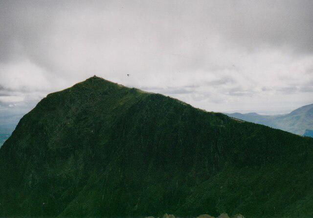
SH5957 : A snowy Tryfan from the slopes above Nant Peris
Eric Jones Photo source
Overview
Tryfan: The Mighty Mountain of Snowdonia
Overview
Tryfan is both a notorious and beloved mountain located in the heart of Snowdonia National Park, Wales. Standing at 918 meters, it is one of the most recognisable peaks in the area, famous for its dramatic ridges and scrambles that attract climbers and hikers alike.
Geology
Formed from granite, Tryfan's rugged landscape tells the story of geological processes dating back millions of years. Its rocky outcrops and distinctive shape provide not only visual beauty but also a playground for climbers eager to tackle its challenging terrain.
Routes
North Ridge
This is the classic route, an exhilarating scramble that is as rewarding as it is challenging. Expect a workout as you navigate your way to the summit, with ‘Adam and Eve’ waiting to greet you at the top.
South Ridge
The South Ridge offers a gentler ascent with stunning views. It’s a perfect option for those who want to enjoy the scenery without the intense scrambling of the North Ridge.
Summit Features
At the summit, climbers are greeted by the famous boulders known as 'Adam and Eve', and a small cairn that signifies their success. Don't forget your camera for those Instagram moments!
Terrain Type
Expect rocky and uneven ground with occasional scree and boulders. Good footwear is advised; you'll definitely be thankful for it!
Views
From Tryfan, you can admire the Glyderau mountains to the south, the Ogwen Valley's beauty, and in clear conditions, the Brecon Beacons off in the distance. For the best views, aim for late spring or early autumn when visibility is often at its best.
Hazards
Be aware of loose rocks and the potential for changing weather conditions. It can turn from warm and sunny to blustery and damp in the blink of an eye, so always come prepared.
Access
The closest parking is at Ogwen Cottage, where facilities include a café and restrooms. Buses from towns like Bangor routinely run to the Ogwen Valley, ensuring you're never too far from your adventure.
Facilities
While you won’t find toilets or cafés on the mountain, Ogwen Cottage has a quaint café that serves as a perfect starting point or endpoint for your hike.
History
The name Tryfan, meaning 'three peaks', reflects its prominent ridgelines. Its historical significance is evident in local folklore where it serves as a backdrop to numerous legends.
So pack your boots, grab your friends, and don't forget to take pictures—because if it's not on Instagram, did you even climb it?
Happy hiking!
Explore routes near Tryfan
Walks starting near this hill. Open a route to check its map, distance and full itinerary.
Snowdon Pyg Track returning by Miner's Track
View route
Beddgelert Forest: Derwen Circuit and Llyn Llywelyn
View route
Beddgelert Forest: Llyn Llywelyn Woodland Circuit
View route
Llyn Crafnant: Lakeside Circuit from the NRW Car Park
View route
Route planning notes
These notes describe possible approaches. Check a route's map and access information when planning your walk.
North Ridge Ascent
The North Ridge of Tryfan is one of the most iconic scrambles in Snowdonia. Starting from the car park near Ogwen Cottage (SH648603), follow the A5 westward before ascending the path towards Tryfan's base. From here, it's a hands-on scramble up the rugged north ridge, with plenty of opportunities to pick your own line. The final push to the summit involves some light climbing, culminating in the famous Adam and Eve summit stones. This route is challenging but offers exceptional views and a truly rewarding experience.
South Ridge Descent Loop
This route combines the North Ridge ascent with a descent via the South Ridge, forming a circular walk. After summiting via the North Ridge, descend along the South Ridge, which is less technical but still requires care. The path eventually links with the Heather Terrace route and leads back to the starting point near Ogwen Cottage. This loop provides a varied experience of both of Tryfan's main ridges.
Heather Terrace Route
For those less confident in scrambling, the Heather Terrace offers a slightly easier way to experience Tryfan. Starting from the same car park, follow the path leading to the Heather Terrace, which traverses along the eastern side of the mountain. From here, you can ascend a less technical route to the summit or simply enjoy the views before retracing your steps. This is a good option for those new to Tryfan.
Bochlwyd Horseshoe
This classic Snowdonia route includes Tryfan as part of a longer day out. Starting at the Ogwen Cottage car park, ascend via the North Ridge of Tryfan, then descend its South Ridge to reach Bwlch Tryfan. Continue onto Bristly Ridge (a Grade 1 scramble) leading to Glyder Fach, before turning towards Glyder Fawr. Descend via the Devil's Kitchen path, completing the loop back to Ogwen Cottage. This is a longer, more technical route for experienced walkers and scramblers.
Tryfan and Llyn Bochlwyd Circular
This route combines a trip up Tryfan with a scenic walk around Llyn Bochlwyd. Ascend via the North Ridge, taking in the summit, then descend the South Ridge to Bwlch Tryfan. From here, skirt around Llyn Bochlwyd, enjoying its serene waters and views of the surrounding peaks, before returning to the starting point near Ogwen Cottage. This is a great way to experience both the ruggedness of Tryfan and the tranquility of the area.
Make a day of it, together
Find someone to share the walk with, or organise a day out along a route you like.
Photo Gallery
View all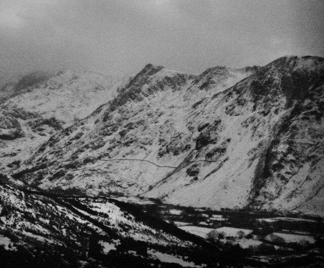 Photo could not load
SH5957 : A snowy Tryfan from the slopes above Nant Peris
Eric Jones
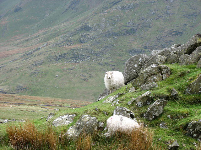 Photo could not load
SH5957 : Hafodty Newydd's Sheep
Eric Jones
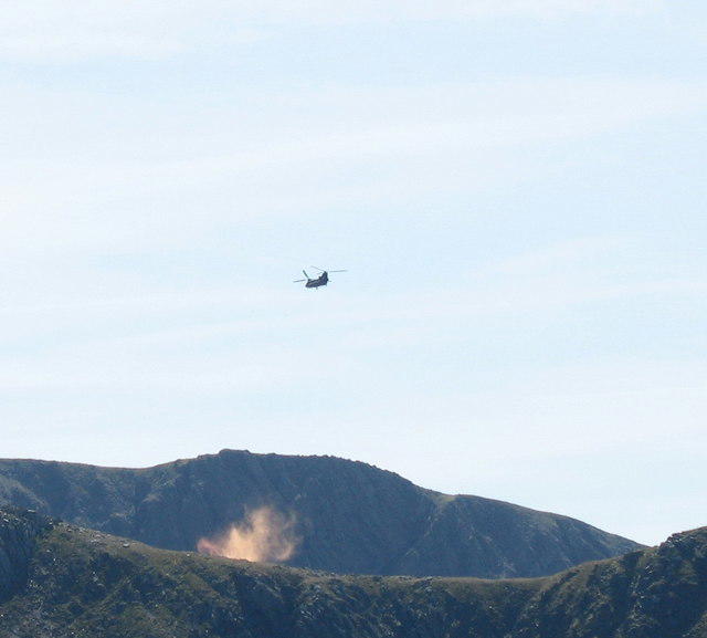 Photo could not load
SH5957 : Chinook Dropping Smoke Canisters
Eric Jones
Hill facts and local notes
Classifications
Elevation
595m
1,951 ft
Prominence
25m
Coordinates
53.0996, -4.0960
SH597578
OS Map
115
Explorer: OL17W
At the Summit
The summit of Tryfan features two iconic boulders known as 'Adam and Eve', which are often used by climbers seeking to prove their summit success. A small cairn marks the top, adding a touch of tradition.
Terrain & Geology
Tryfan is primarily composed of rugged granitic rocks, formed during the Caledonian Orogeny. Its bold, angular shapes and rocky outcrops are a testament to the geological forces that shaped this stunning landscape.
Views & Scenery
Views from Tryfan include the stunning peaks of the Glyderau, the expansive vistas of the Ogwen Valley, and in the distance, Pen y Fan and the rest of the Brecon Beacons.
History & Heritage
Name Origin
The name 'Tryfan' is derived from the Welsh word meaning 'three peaks'.
Historical Significance
Considered one of the quintessential Welsh mountains, Tryfan is steeped in local mythology and folklore, often regarded as a rite of passage for aspiring mountaineers in the UK.
Getting There & Facilities
Parking
Ogwen Cottage car park offers ample parking, with access to several routes leading to Tryfan. Parking is charged.
Public Transport
Regular bus services run from nearby towns such as Bangor to the Ogwen Valley. Check local timetables for exact timings.
Nearby Facilities
There are no facilities directly on the mountain, but the Ogwen Cottage offers a café, drinks, and toilets, making it a perfect pre or post-hike stop.
Safety Information
Known Hazards
- Loose rocks and scree can create unstable footing. Weather conditions can change rapidly, leading to poor visibility or slippery terrain.
General Safety Tips
- Check weather conditions before setting out
- Carry appropriate clothing and equipment
- Let someone know your planned route
- Take a map, compass, and GPS device
- Carry emergency supplies: food, water, first aid kit, torch
Hills
Some common questions about the hills answered
Are there group walks up Tryfan?
Many walkers use Walkmates to join or organise walks with others. You can check for group walks around Tryfan through the maps
Are there other walkers around Tryfan?
Activity varies by location and time, but Walkmates lets you see whether others have shared walks or shown interest in this area. Find other people through the walking friends search walking friends for Tryfan search or of course create your own walk for Tryfan
Can I organise a walk to Tryfan?
Yes. If there aren’t any walks listed already, you can create a walk and make it available for others to join.
If you're signed up to Walkmates, you can create a walk to Tryfan.
How do I find a walk up this hill?
There are often multiple ways to walk this hill, depending on experience and route preference. Walkmates helps you explore walks and routes that others have shared.
Can I suggest a new route up Tryfan?
Yes. You can suggest or create routes to share with others. Walkmates focuses on the social side of walking, so routes are used to help people organise walks and explore areas together, rather than as detailed navigation tools or route libraries.
Other uses really appreciate knowledgeable walkers sharing their routes. Share your favourite route to Tryfan here
The is an error or something incorrect about this hill. How do I let you know?
We always strive to keep the information on Walkmates as accurate as possible. If you find an error, please let us know through the contact form and we'll aim to correct it as quickly as possible
Community Discussion
Comments
Location
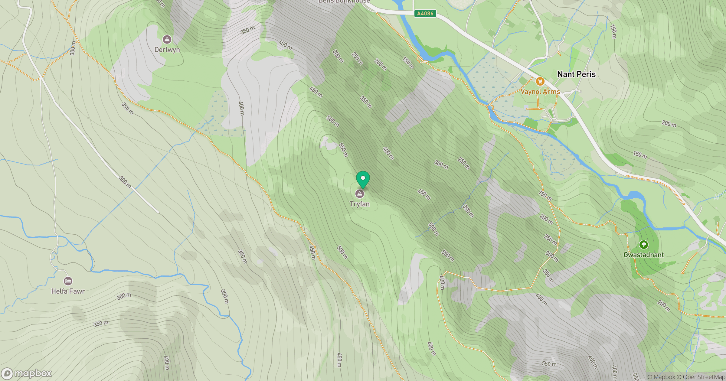
Grid reference: SH597578
View on OpenStreetMapOpens a map in a new tab, centred on the hill.
No comments yet. Be the first.