

Stow-on-the-Wold Hill (old GR)
Good walks are even better shared.
SP1926 : A429 heading north
Robin Webster Photo source
Overview
Stow-on-the-Wold Hill (old GR)
Introduction
Perched at 213 meters, Stow-on-the-Wold Hill is a delightful ascent that offers hikers a peek into the idyllic heart of the Cotswolds. This charming hill, though modest in height, is a beloved destination for locals and visitors alike.
Geology
Stow-on-the-Wold Hill is primarily composed of limestone from the Jurassic period. This ancient rock formation not only shapes the land but also gives visitors a chance to marvel at the geological history beneath their feet. The distinct Cotswold stone landscape is dotted with gentle hills and valleys, creating a picturesque terrain.
Routes
The Cotswold Way from Stow-on-the-Wold is a standout choice for those looking to explore the area. The 8 km route is moderate in difficulty, providing hikers with breathtaking views and a good workout. As you tread along this famous trail, don’t forget to keep an eye out for the delightful villages that dot the landscape, as they’re just as enchanting as the views themselves.
Summit Features
The summit features a small grassy plateau adorned with a few benches – ideal for resting and soaking in the vistas. Bring your packed lunch and enjoy a peaceful moment while contemplating the meaning of life or simply planning your next hike.
Terrain Type
The terrain is primarily grassy with a few rocky outcrops. Paths are generally well-trodden, making it accessible for families and seasoned hikers alike. Be sure to wear sturdy shoes, as some stretches may get a bit boggy after rains.
Views
From the top, you’ll be treated to stunning panoramic views of the Cotswold countryside. On clear days, you might even spot the quaint rooftops of Bourton-on-the-Water. The best seasons to enjoy these sights are spring and autumn, when the foliage bursts with colour, although summer sunsets are simply mesmerising.
Hazards
While most hazards are minimal, do be aware of the occasional sheep crossing your path – they can be quite the photogenic distraction! Also, after rainy spells, watch for muddy patches that might sneak up on you.
Nearby Summits
One notable nearby summit is Broadway Tower, a striking landmark that adds to the charm of the area. Standing at 312 meters, it presents another fine opportunity for hiking.
Access
Accessing Stow-on-the-Wold Hill is easy. The nearest parking can be found at the town centre, with free facilities available – just a short stroll from the hill. Regular bus services run from Cheltenham and Moreton-in-Marsh, so public transport is a viable option if you prefer not to drive.
Facilities
In Stow-on-the-Wold, you’ll find ample facilities to cater to your needs, including charming cafés perfect for grabbing a slice of cake post-hike and public toilets located conveniently near the market square.
History
The name 'Stow' harks back to Old English, translating to 'market on the hill'. This historic site has cultural significance tied to the prosperous wool trade that flourished in the Cotswolds,
Hiking Stow-on-the-Wold Hill is a delightful experience, whether you’re an experienced trekker or just looking for a peaceful day out in nature. Bring your sense of adventure and a hearty appetite for local treats!
Explore routes near Stow-on-the-Wold Hill (old GR)
Walks starting near this hill. Open a route to check its map, distance and full itinerary.
Bourton-on-the-Water and Wyck Rissington: Greystones and three rivers
View route
Winchcombe and Belas Knap: Cotswold Way and Sudeley Valley circuit
View route
Evesham Walk with Men Walking & Talking
View route
Cheltenham Walk with Men Walking & Talking
View route
Route planning notes
These notes describe possible approaches. Check a route's map and access information when planning your walk.
Cotswold Way from Stow-on-the-Wold
A scenic route along the iconic Cotswold Way, featuring charming villages and historic sites.
Make a day of it, together
Find someone to share the walk with, or organise a day out along a route you like.
Photo Gallery
View all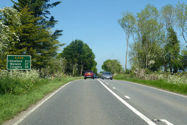 Photo could not load
SP1926 : A429 heading north
Robin Webster
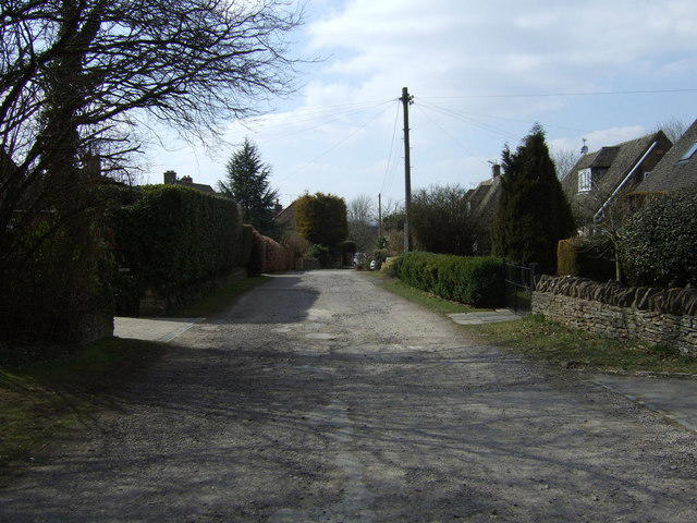 Photo could not load
SP1926 : Fosse Lane, Stow-on-the-Wold
JThomas
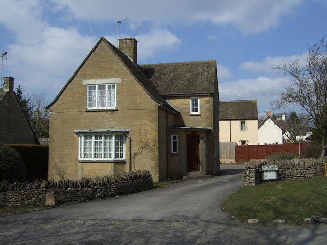 Photo could not load
SP1926 : House on Fosse Lane, Stow-on-the-Wold
JThomas
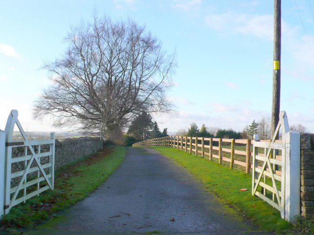 Photo could not load
SP1926 : Private Track
Nigel Mykura
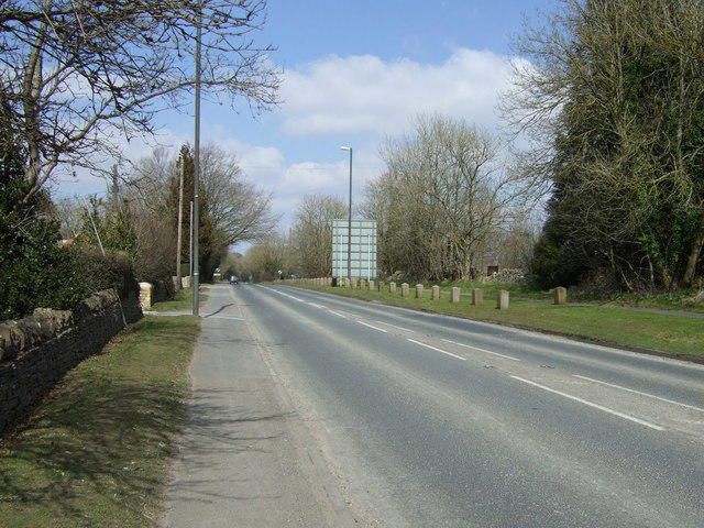 Photo could not load
SP1926 : A429 heading north
JThomas
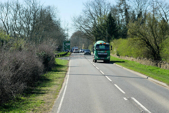 Photo could not load
SP1926 : A429 Fosse Way Southbound towards Stow-on-the-Wold
David Dixon
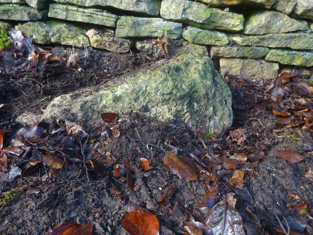 Photo could not load
SP1926 : Boundary Stone, A429, Stow on the Wold
Mr Red
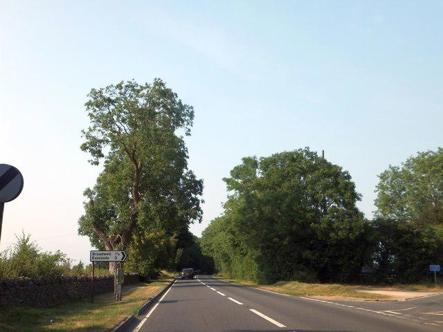 Photo could not load
SP1926 : Fork off Fosse Way to Broadwell
David Smith
Hill facts and local notes
Classifications
Elevation
234m
768 ft
Prominence
6m
Coordinates
51.9365, -1.7230
SP191264
OS Map
163
Explorer: OL45N
At the Summit
The summit is marked by a small grassy plateau and offers a few benches for weary hikers to rest their legs and contemplate life decisions (or maybe just the best local pub).
Terrain & Geology
The area is primarily formed from limestone, with a distinctive Cotswold stone landscape giving way to rolling hills and picturesque valleys. The rocks are from the Jurassic period, providing a glimpse into a time when ancient seas dominated the landscape.
Views & Scenery
Panoramic views of the Cotswolds' rolling hills and neighbouring valleys, especially towards the famous Bourton-on-the-Water.
History & Heritage
Name Origin
The name comes from Old English meaning 'market on the hill', reflecting its historical significance as a trading point.
Historical Significance
The area has rich history, including connections to the wool trade that shaped the prosperity of the Cotswolds.
Getting There & Facilities
Parking
There is free parking at the town centre car park in Stow-on-the-Wold, approximately 1 km from the trailhead.
Public Transport
Regular bus services from larger towns like Cheltenham and Moreton-in-Marsh. Check local timetables for specific routes.
Nearby Facilities
Cafés and shops in Stow-on-the-Wold provide all the necessary provisions, including delicious cream teas and public toilets near the market square.
Safety Information
Known Hazards
- Occasional sheep may cause a distraction, but they're mostly harmless. Watch for muddy patches after rain.
General Safety Tips
- Check weather conditions before setting out
- Carry appropriate clothing and equipment
- Let someone know your planned route
- Take a map, compass, and GPS device
- Carry emergency supplies: food, water, first aid kit, torch
Hills
Some common questions about the hills answered
Are there group walks up Stow-on-the-Wold Hill (old GR)?
Many walkers use Walkmates to join or organise walks with others. You can check for group walks around Stow-on-the-Wold Hill (old GR) through the maps
Are there other walkers around Stow-on-the-Wold Hill (old GR)?
Activity varies by location and time, but Walkmates lets you see whether others have shared walks or shown interest in this area. Find other people through the walking friends search walking friends for Stow-on-the-Wold Hill (old GR) search or of course create your own walk for Stow-on-the-Wold Hill (old GR)
Can I organise a walk to Stow-on-the-Wold Hill (old GR)?
Yes. If there aren’t any walks listed already, you can create a walk and make it available for others to join.
If you're signed up to Walkmates, you can create a walk to Stow-on-the-Wold Hill (old GR).
How do I find a walk up this hill?
There are often multiple ways to walk this hill, depending on experience and route preference. Walkmates helps you explore walks and routes that others have shared.
Can I suggest a new route up Stow-on-the-Wold Hill (old GR)?
Yes. You can suggest or create routes to share with others. Walkmates focuses on the social side of walking, so routes are used to help people organise walks and explore areas together, rather than as detailed navigation tools or route libraries.
Other uses really appreciate knowledgeable walkers sharing their routes. Share your favourite route to Stow-on-the-Wold Hill (old GR) here
The is an error or something incorrect about this hill. How do I let you know?
We always strive to keep the information on Walkmates as accurate as possible. If you find an error, please let us know through the contact form and we'll aim to correct it as quickly as possible
Community Discussion
Comments
Location
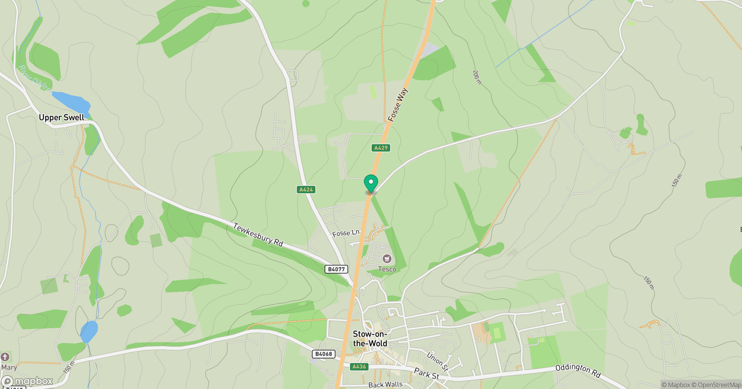
Grid reference: SP191264
View on OpenStreetMapOpens a map in a new tab, centred on the hill.
Nearby Hills
Worcestershire Beacon
425m
Titterstone Clee Hill
533m

The Wrekin
407m
Glastonbury Tor
158m
The Roaches
505m
No comments yet. Be the first.