

Stow-on-the-Wold Hill
Good walks are even better shared.
SP1825 : BP Filling Station, Station Road, Stow-on-the-Wold
David Dixon Photo source
Overview
Stow-on-the-Wold Hill
Introduction
Nestled in the heart of the picturesque Cotswolds, Stow-on-the-Wold Hill might not be the highest peak around, but what it lacks in elevation, it more than makes up for in charm. With its rolling landscapes and enchanting views, this hill is a delightful spot for both casual walkers and serious hikers alike.
Geology
The geology here tells a tale of centuries gone by, as limestone formations shaped the landscape. These formations are a reminder of the Jurassic period, offering a glimpse into the earth's distant past. While you're exploring, be sure to look for fossils – who knows, you might unearth a little piece of history!
Routes
One of the most popular routes to enjoy is the Stow-on-the-Wold Circular Trail. This easy 6.5 km loop meanders through scenic pastures and quaint villages, making it perfect for families or those just looking to stretch their legs.
Summit Features
When you finally reach the summit, you’ll be greeted by a quirky stone marker. It's perfect for a group photo, but please – take care not to accidentally tip it over like some hapless tourist might!
Terrain
The terrain is predominantly grassy, with the occasional rocky outcrop popping up to remind you that nature likes to keep things interesting. Whether you’re hiking alone or with friends, the path is generally well-maintained and easy to navigate.
Views
And speaking of interesting, the views from the top are simply stunning. On a clear day, you can see the Malvern Hills to the west, while the patchwork of fields below creates a vibrant canvas of greens and yellows. Spring and autumn are the best seasons to catch these breathtaking vistas, as the landscape bursts to life with colour.
Hazards
As with any outdoor adventure, there are a few hazards to keep in mind. In wet weather, the paths can become a bit slippery, so sturdy footwear is recommended. Additionally, be wary of fog rolling in as it can obscure your views faster than you can say 'Where's my map?'
Nearby Summits
For those keen on extending their adventure, Broadway Hill is just a stone's throw away and offers additional hiking opportunities.
Access
Getting to Stow-on-the-Wold Hill is a breeze. Park your car in the free parking area at the Market Square, and from there, it’s just a short walk to the trailhead. If you prefer public transport, buses regularly connect Stow-on-the-Wold with other Cotswold towns.
Facilities
After your hike, the charming town of Stow-on-the-Wold invites you to unwind with a variety of cafes and shops. Public toilets are also conveniently located around town, ensuring you can freshen up after your adventure.
Conclusion
So there you have it! Whether you’re an experienced hiker or just looking for a pleasant place to meander, Stow-on-the-Wold Hill offers a delightful combination of natural beauty, history, and the chance to indulge in some good old-fashioned British hospitality. Don't forget your camera – the views are worth capturing!
Happy hiking!
Explore routes near Stow-on-the-Wold Hill
Walks starting near this hill. Open a route to check its map, distance and full itinerary.
Bourton-on-the-Water and Wyck Rissington: Greystones and three rivers
View route
Winchcombe and Belas Knap: Cotswold Way and Sudeley Valley circuit
View route
Cheltenham Walk with Men Walking & Talking
View route
Evesham Walk with Men Walking & Talking
View route
Route planning notes
These notes describe possible approaches. Check a route's map and access information when planning your walk.
Stow-on-the-Wold Circular Trail
A scenic loop starting from the market town of Stow, weaving through gentle hills and picturesque Cotswold villages.
Make a day of it, together
Find someone to share the walk with, or organise a day out along a route you like.
Photo Gallery
View all Photo could not load
SP1825 : BP Filling Station, Station Road, Stow-on-the-Wold
David Dixon
 Photo could not load
SP1825 : BP filling station, Stow-on-the-Wold
Jaggery
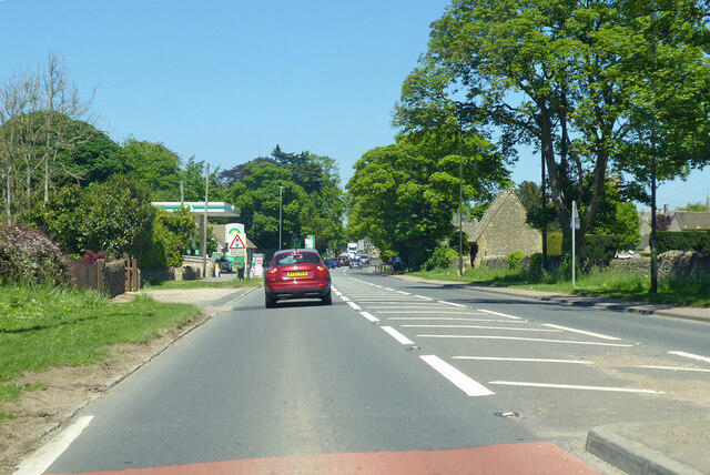 Photo could not load
SP1825 : A429 heading north, Stow-on-the-Wold
Robin Webster
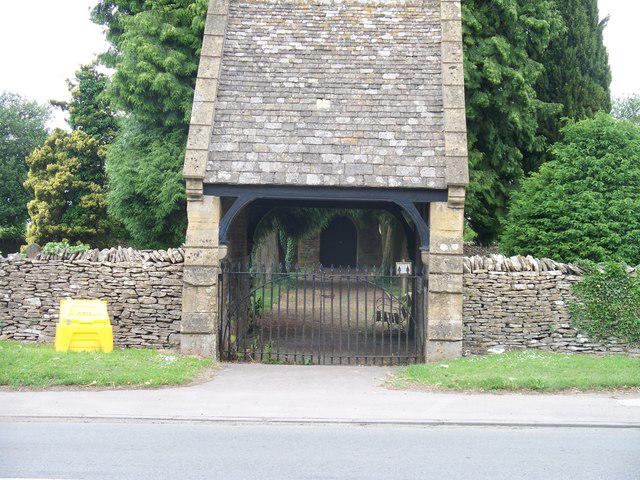 Photo could not load
SP1825 : Stow cemetery lych gate
Michael Dibb
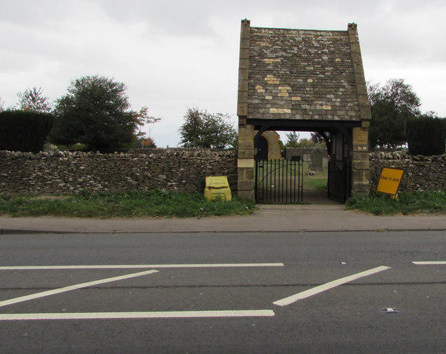 Photo could not load
SP1825 : Stow-on-the-Wold Cemetery entrance
Jaggery
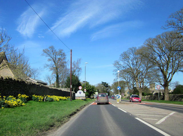 Photo could not load
SP1825 : A429 Stow-on-the Wold Town Sign
Roy Hughes
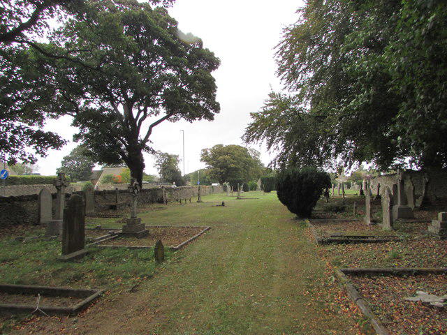 Photo could not load
SP1825 : Stow-on-the-Wold Cemetery
Jaggery
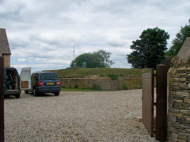 Photo could not load
SP1825 : Stow Hill reservoir
Michael Dibb
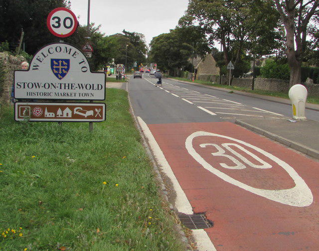 Photo could not load
SP1825 : Southern boundary of Stow-on-the-Wold
Jaggery
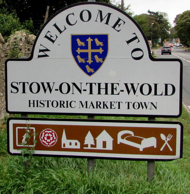
SP1825 : Welcome to Stow-on-the-Wold Historic Market Town
Jaggery
Hill facts and local notes
Classifications
Elevation
235m
771 ft
Prominence
45m
Coordinates
51.9266, -1.7250
SP190253
OS Map
163
Explorer: OL45N
At the Summit
The summit is characterized by a charming stone marker, which provides a perfect selfie spot - just don't knock it over!
Terrain & Geology
The hill is primarily composed of limestone, indicative of the Cotswold's characteristic dry valleys and ridges formed during the Jurassic period.
Views & Scenery
On a clear day, you can spot the Malvern Hills to the west and the rolling Cotswold fields stretching to the horizon.
History & Heritage
Name Origin
The name 'Stow' is derived from the Old English 'stow,' meaning 'place' or 'meeting place,' indicating its historical significance as a market town.
Historical Significance
The hill has served as a lookout point for centuries, and the surrounding area is steeped in history, including ancient Roman roads.
Getting There & Facilities
Parking
Free parking is available at the Stow-on-the-Wold Market Square.
Public Transport
Regular bus services connect Stow-on-the-Wold with nearby towns, including Chipping Norton and Bourton-on-the-Water.
Nearby Facilities
The nearby town offers a variety of cafes, shops, and public toilets, ensuring a pleasant day out.
Safety Information
Known Hazards
- Some areas may become slippery in wet conditions, and limited visibility in fog.
General Safety Tips
- Check weather conditions before setting out
- Carry appropriate clothing and equipment
- Let someone know your planned route
- Take a map, compass, and GPS device
- Carry emergency supplies: food, water, first aid kit, torch
Hills
Some common questions about the hills answered
Are there group walks up Stow-on-the-Wold Hill?
Many walkers use Walkmates to join or organise walks with others. You can check for group walks around Stow-on-the-Wold Hill through the maps
Are there other walkers around Stow-on-the-Wold Hill?
Activity varies by location and time, but Walkmates lets you see whether others have shared walks or shown interest in this area. Find other people through the walking friends search walking friends for Stow-on-the-Wold Hill search or of course create your own walk for Stow-on-the-Wold Hill
Can I organise a walk to Stow-on-the-Wold Hill?
Yes. If there aren’t any walks listed already, you can create a walk and make it available for others to join.
If you're signed up to Walkmates, you can create a walk to Stow-on-the-Wold Hill.
How do I find a walk up this hill?
There are often multiple ways to walk this hill, depending on experience and route preference. Walkmates helps you explore walks and routes that others have shared.
Can I suggest a new route up Stow-on-the-Wold Hill?
Yes. You can suggest or create routes to share with others. Walkmates focuses on the social side of walking, so routes are used to help people organise walks and explore areas together, rather than as detailed navigation tools or route libraries.
Other uses really appreciate knowledgeable walkers sharing their routes. Share your favourite route to Stow-on-the-Wold Hill here
The is an error or something incorrect about this hill. How do I let you know?
We always strive to keep the information on Walkmates as accurate as possible. If you find an error, please let us know through the contact form and we'll aim to correct it as quickly as possible
Community Discussion
Comments
Location
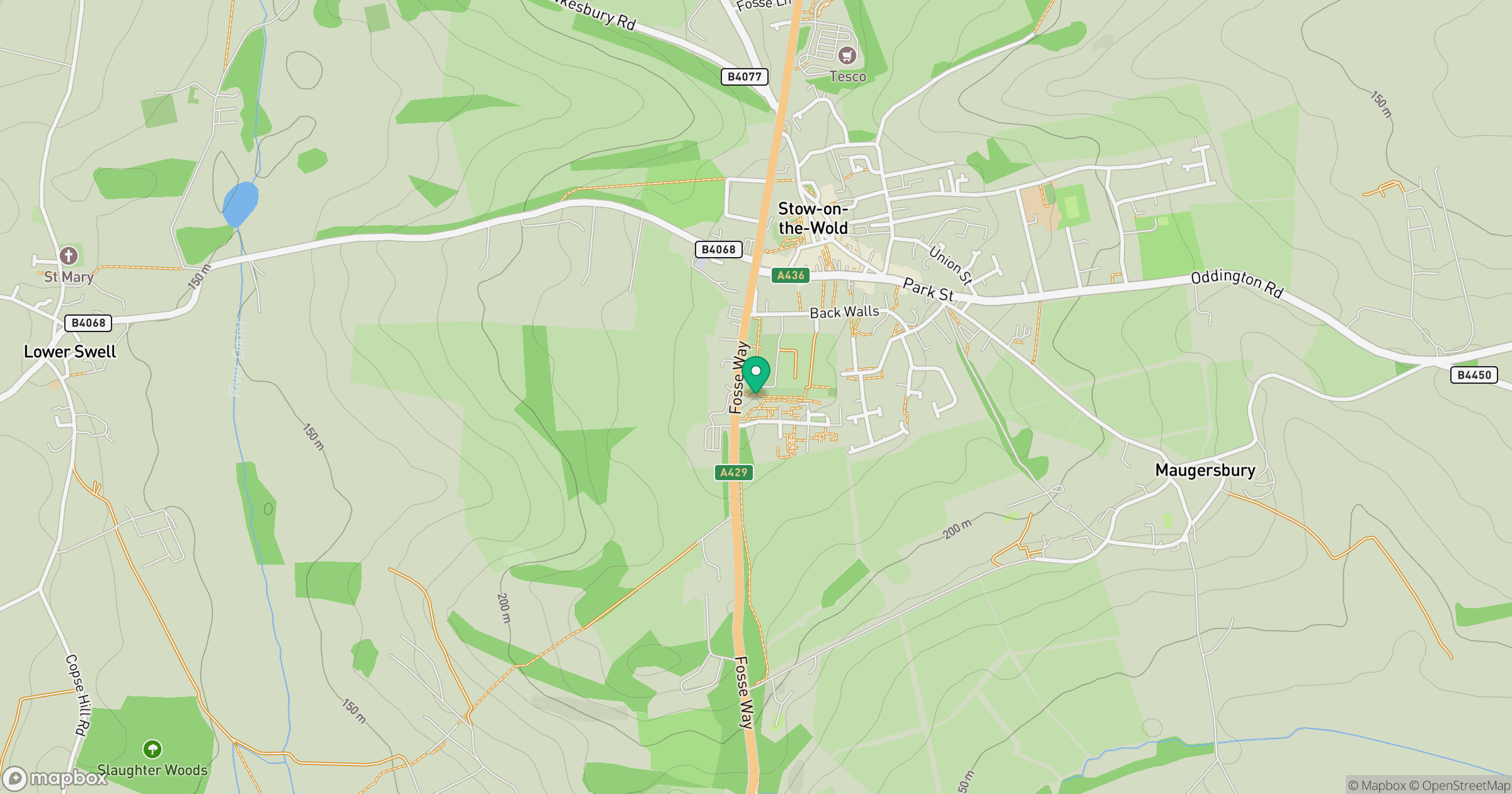
Grid reference: SP190253
View on OpenStreetMapOpens a map in a new tab, centred on the hill.
Nearby Hills
Worcestershire Beacon
425m
Titterstone Clee Hill
533m

The Wrekin
407m
Glastonbury Tor
158m
The Roaches
505m
No comments yet. Be the first.