

Stony Leas - Louven Howe
Good walks are even better shared.
Overview
Stony Leas - Louven Howe
Overview
Stony Leas, affectionately termed 'Louven Howe,' stands proudly at an elevation of 510 meters in the stunning North Pennines. As a Hewitt, it offers a moderate challenge to walkers with its varied terrain and rewarding summit views.
Geology
The underlying Carboniferous limestone is not just a pretty face; it tells a fascinating story of our planet's ancient past. Expect to stumble across fascinating fossil deposits – if you’re lucky, you might even unearth a travesty of geological luck!
Routes
The Stony Leas Circular Route begins at Allenheads village, meandering over 8.5 km through lush landscapes and rugged rocky outcrops. Expect to spend about 3.5 hours enjoying this route – perfect for burning off that sticky toffee pudding from the Inn!
Summit Features
Crowning the hill is a classic trig point, with enough elevation to make you feel on top of the world. It’s a great spot for a selfie and a chance to show off your day's efforts to friends.
Terrain Type
Expect a mix of grassy fields, rocky sections, and the occasional boggy patch. Tread carefully during wet weather, as some areas can be a bit slippery!
Views
The summit offers breathtaking views of the North Pennines and on clear days, you can even catch sight of Hadrian's Wall and the Cheviot Hills. For the best views, aim to visit in late spring or early autumn, when the landscape is vibrant and visibility is at its peak!
Hazards
While the terrain is generally manageable, keep an eye out for unstable footing on rocky sections and hidden bogs – wet feet may come your way if you’re not careful!
Nearby Summits
Don’t miss out on nearby peaks like Hexhamshire Common and Black Hill for further adventures in the region.
Access
Parking is available in Allenheads village, but public transport options are limited, so plan ahead – walking from Hexham could be a healthy prelude to your hike.
Facilities
Pop into the Allenheads Inn for some hearty grub and a chance to recharge – their coffee should do the trick!
History
The name 'Stony Leas' reflects the mountain's storied past, while the area’s mining history provides both intrigue and remnants for the curious explorer.
With its charm and stunning scenery, Stony Leas - Louven Howe guarantees an exciting day out in the great outdoors. Grab your boots, pack some sandwiches, and prepare for an adventure!
Explore routes near Stony Leas - Louven Howe
Public walks starting within 80 km of this hill. Nearby does not mean a route reaches the summit; check its map and access before setting out.
Grosmont to Beck Hole, Esk Valley Circular
View route
Dalby Forest Woodcock Way Long Loop from High Staindale
View route
Whitby to Robin Hood’s Bay: full Cleveland Way coast walk
View route
Whitby to Stainsacre on the Cinder Track
View route
Route planning notes
These notes describe possible approaches, not verified navigable routes or permission to cross land. Check current paths, local access rules and conditions before setting out.
Stony Leas Circular Route
A picturesque loop starting at the village of Allenheads, leading to the summit with beautiful views of the surrounding hills.
Make a day of it, together
Find someone to share the walk with, or organise a day out along a route you like.
Photo Gallery
View all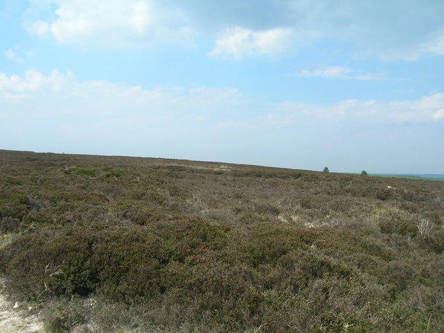 Photo could not load
SE8899 : Stony Leas
JThomas
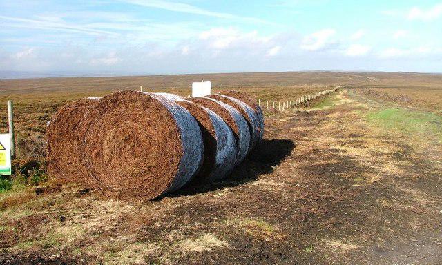 Photo could not load
SE8899 : Heather Bales, Stoney Leas
Mick Garratt
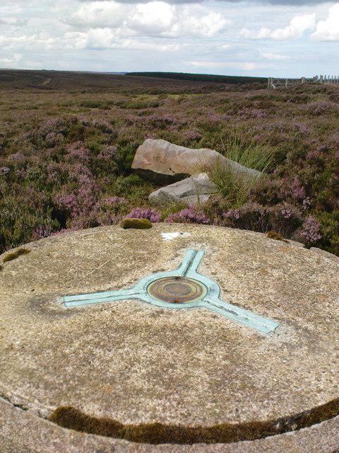 Photo could not load
SE8899 : Fallen Boundary Stone
Matthew Hatton
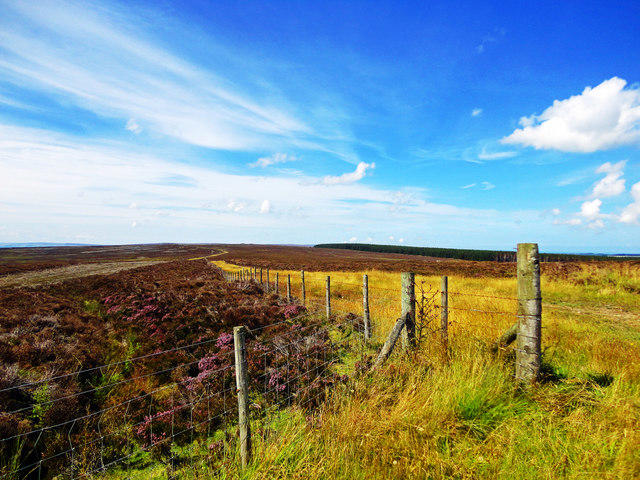 Photo could not load
SE8899 : Louven Howe
Scott Robinson
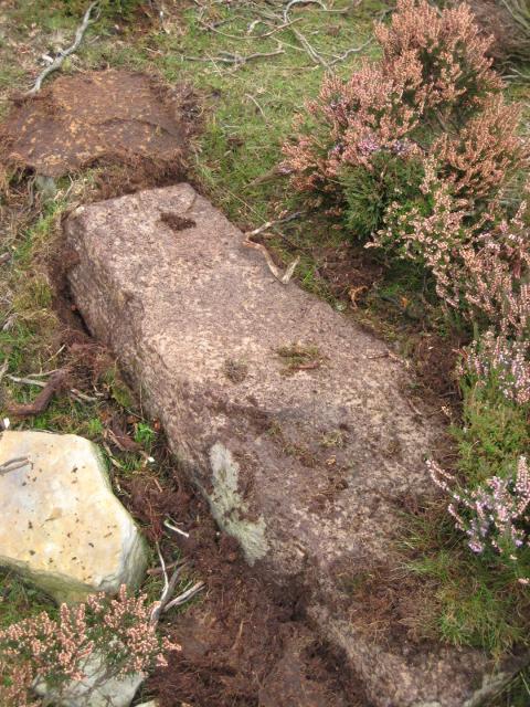 Photo could not load
SE8899 : Old Boundary Marker on Louven Howe Side, Sneaton parish
Milestone Society
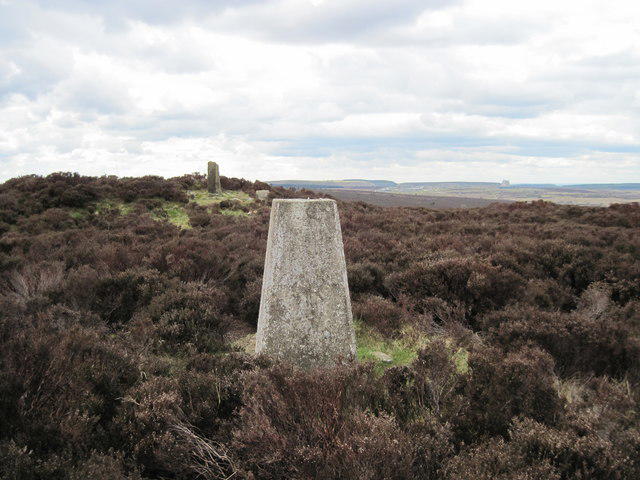 Photo could not load
SE8899 : Trig Point and Louven Howe
Martin Dawes
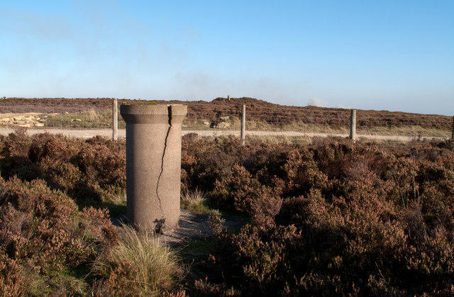 Photo could not load
SE8899 : Survey column and Louven Howe
Trevor Littlewood
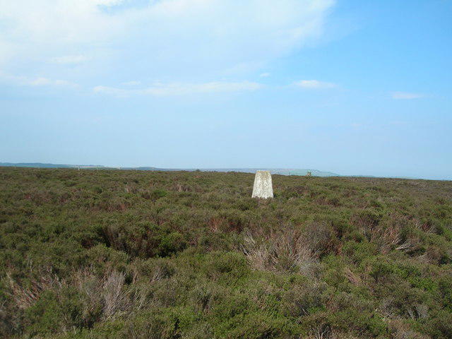 Photo could not load
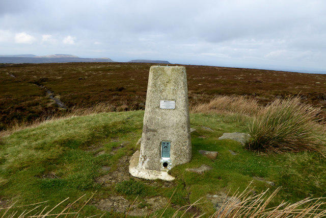
SE8899 : Louven Howe trig point
JThomas
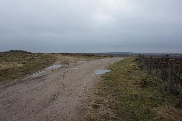 Photo could not load
SE8899 : Junction of paths at Louven Howe
Ian S
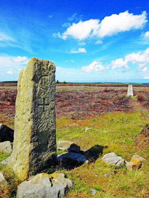
SE8899 : Standing Stone & Trig Point, Louven Howe
Scott Robinson
Hill facts and local notes
Classifications
Elevation
299m
981 ft
Prominence
137m
Coordinates
54.3807, -0.6364
SE886992
OS Map
94 101
Explorer: OL27N OL27S
At the Summit
The summit boasts a prominent trig point, along with a natural rock formation that offers a perfect vantage point for taking photos or simply enjoying the views.
Terrain & Geology
The mountain is primarily composed of Carboniferous limestone, interspersed with gritstone outcrops that create stunning contrasts and captivating geological formations. The area is rich in fossil deposits dating back millions of years, providing a glimpse into an ancient underwater landscape.
Views & Scenery
From the summit, one can see the rolling hills of the North Pennines, Hadrian's Wall to the south, and on a clear day, even the distant Cheviot Hills.
History & Heritage
Name Origin
The name 'Stony Leas' derives from the old English word 'leas,' meaning pasture or glade, indicating its grassy terrains among rocky outcrops.
Historical Significance
The area has a rich mining history, particularly lead mining, which carved out the landscape and left interesting remnants to explore.
Getting There & Facilities
Check current local access restrictions, parking rules and transport timetables before travelling. These notes do not confirm public access to the summit.
Parking
There is parking available at Allenheads village, where a small car park offers a good starting point for various hiking routes.
Public Transport
Limited public transport is available; the nearest bus service operates from Hexham, typically requiring a bit of a walk from the bus stop to the village.
Nearby Facilities
The nearby Allenheads Inn provides food and drink, as well as restrooms for refreshment before or after your adventure.
Safety Information
Known Hazards
- Unstable footing on rocky sections, particularly in wet weather. Be cautious of hidden bogs, especially in the early spring.
General Safety Tips
- Check weather conditions before setting out
- Carry appropriate clothing and equipment
- Let someone know your planned route
- Take a map, compass, and GPS device
- Carry emergency supplies: food, water, first aid kit, torch
Hills
Some common questions about the hills answered
Are there group walks up Stony Leas - Louven Howe?
Many walkers use Walkmates to join or organise walks with others. You can check for group walks around Stony Leas - Louven Howe through the maps
Are there other walkers around Stony Leas - Louven Howe?
Activity varies by location and time, but Walkmates lets you see whether others have shared walks or shown interest in this area. Find other people through the walking friends search walking friends for Stony Leas - Louven Howe search or of course create your own walk for Stony Leas - Louven Howe
Can I organise a walk to Stony Leas - Louven Howe?
Yes. If there aren’t any walks listed already, you can create a walk and make it available for others to join.
If you're signed up to Walkmates, you can create a walk to Stony Leas - Louven Howe.
How do I find a walk up this hill?
There are often multiple ways to walk this hill, depending on experience and route preference. Walkmates helps you explore walks and routes that others have shared.
Can I suggest a new route up Stony Leas - Louven Howe?
Yes. You can suggest or create routes to share with others. Walkmates focuses on the social side of walking, so routes are used to help people organise walks and explore areas together, rather than as detailed navigation tools or route libraries.
Other uses really appreciate knowledgeable walkers sharing their routes. Share your favourite route to Stony Leas - Louven Howe here
The is an error or something incorrect about this hill. How do I let you know?
We always strive to keep the information on Walkmates as accurate as possible. If you find an error, please let us know through the contact form and we'll aim to correct it as quickly as possible
Community Discussion
Comments
Location
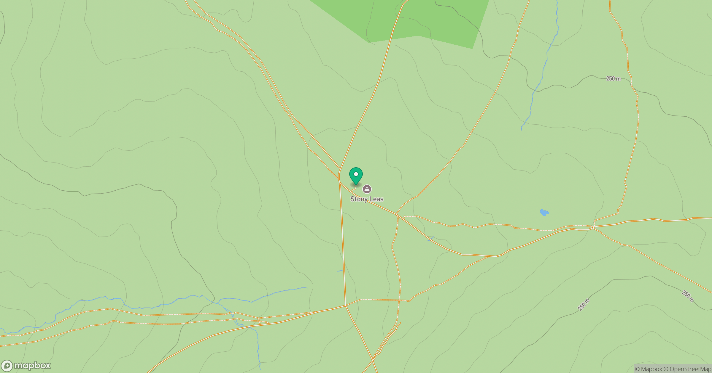
Grid reference: SE886992
View on OpenStreetMapOpens a map in a new tab, centred on the hill.
Hills within 30 km
Straight-line distance, not a walking route or confirmation of access.
Barns Cliff End
222m
Seamer Beacon
188m
Oliver's Mount
155m
Gisborough Moor
329m
Urra Moor - Round Hill
455m
No comments yet. Be the first.