

Barns Cliff End
Good walks are even better shared.
Overview
Barns Cliff End
Overview
Nestled in the Peak District National Park, Barns Cliff End stands at 231 meters and offers a delightful escape for outdoor enthusiasts. With its varied terrain and stunning views, it's a haven for both seasoned hikers and casual walkers looking to stretch their legs.
Geology
As you ascend, take a moment to ponder the Carboniferous limestone forming Barns Cliff End. These rocks have been shaped by millions of years of geological activity, making them as old as time itself—well, almost! The unique formations are a testament to nature's craftsmanship, ensuring you'll find plenty of interesting features along the route.
Routes
The Barns Cliff End Circuit is a popular choice, starting in the picturesque village of Hope. This moderate route takes about 3.5 hours and is perfect for enjoying the fresh air while quietly contemplating the mysteries of the universe—or just what’s for dinner.
Summit Features
When you reach the summit, you’ll be greeted by a humble stone cairn—think of it as a mini monument to all the hikers who have ventured here before. And the views! From the top, one can see the sprawling Hope Valley and the majestic Mam Tor in the distance.
Terrain
The terrain varies beautifully, combining rocky paths with lush grasslands. Just be prepared for the occasional muddy patch if the rain decides to pay a visit!
Views
As mentioned, the views are nothing short of spectacular. The best seasons for sweeping vistas include spring and autumn when nature really puts on a show. Bring your camera, because your friends won’t believe the photos aren’t photoshopped!
Hazards
Keep an eye on the skies and your feet. The weather can shift faster than you can say 'is that rain?', and some paths can be slippery. Safety first, folks!
Access
Parking is readily available in Hope, but do keep an eye out for parking restrictions to avoid upset locals. If you prefer using public transport, Hope station is conveniently located nearby.
Facilities
Once you’re back from your adventure, feel free to pop into one of Hope’s cosy cafés or pubs for a well-deserved pint or slice of cake! There are public toilets in the village, making it a practical spot to begin or end your hike.
History
The name 'Barns Cliff End' evokes a sense of local agricultural history, and its significance as a popular hiking destination is well-deserved. You’re bound to feel a connection to the generations of walkers who have explored this beautiful landscape.
So lace up those hiking boots and embrace the charm of Barns Cliff End. Happy hiking!
Explore routes near Barns Cliff End
Public walks starting within 80 km of this hill. Nearby does not mean a route reaches the summit; check its map and access before setting out.
Dalby Forest Woodcock Way Long Loop from High Staindale
View route
Raincliffe Woods: Middle Road and Lady Mildred’s Ride
View route
Dalby Forest Ellerburn Long Trail
View route
Grosmont to Beck Hole, Esk Valley Circular
View route
Route planning notes
These notes describe possible approaches, not verified navigable routes or permission to cross land. Check current paths, local access rules and conditions before setting out.
Barns Cliff End Circuit
A scenic loop starting from the village of Hope, this route guides you through lush valleys and rocky outcrops.
Make a day of it, together
Find someone to share the walk with, or organise a day out along a route you like.
Photo Gallery
View all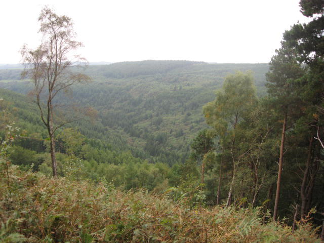 Photo could not load
SE9394 : Lang Dale
T Eyre
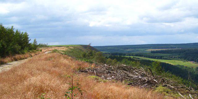 Photo could not load
SE9494 : Scarp edge above Hingles Wood
Gordon Hatton
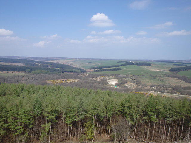 Photo could not load
SE9494 : On Barns Cliff End
Michael Graham
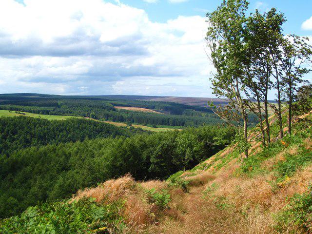 Photo could not load
SE9394 : Descent to Hingles Wood
Gordon Hatton
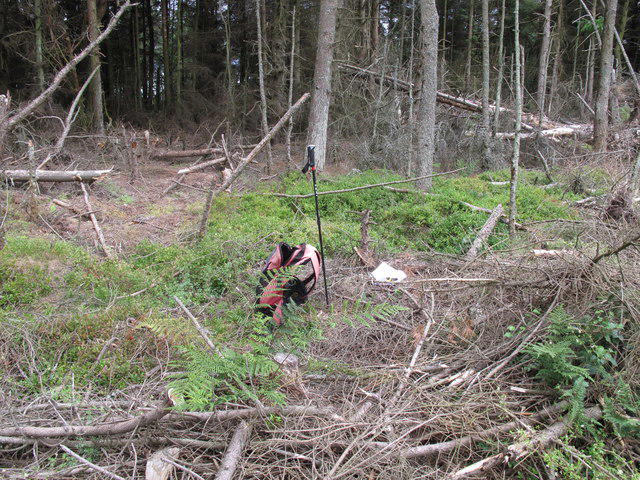 Photo could not load
SE9494 : Barns Cliff End
Rude Health
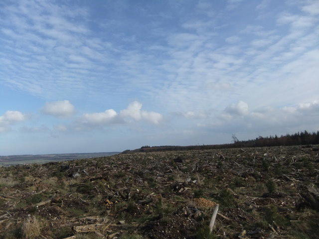 Photo could not load
SE9394 : Barns Cliff End
David Brown
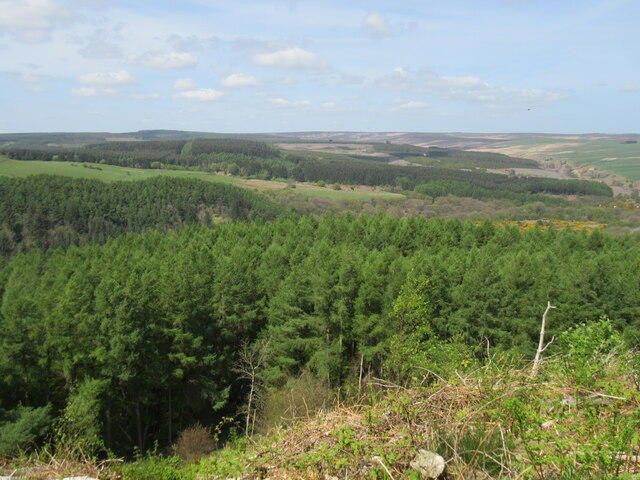 Photo could not load
SE9394 : Barns Cliff End
T Eyre
Hill facts and local notes
Classifications
Elevation
222m
728 ft
Prominence
141m
Coordinates
54.3387, -0.5568
SE939946
OS Map
94 101
Explorer: OL27S
At the Summit
The summit boasts a small stone cairn and panoramic views, making it a perfect spot for a photo op. If you listen closely, you might even catch the local sheep gossiping about their day.
Terrain & Geology
Barns Cliff End is primarily composed of Carboniferous limestone, which gives the area its infamous dry-stone walls and sharp ridges. The region has a rich geological history, with layers that tell the tale of ancient seas and shifting tectonic plates.
Views & Scenery
From the summit, enjoy stunning views of the Hope Valley, Mam Tor, and the rugged landscape of the Dark Peak.
History & Heritage
Name Origin
The name 'Barns Cliff End' likely derives from the nearby barn structures historically used by farmers in the region, combined with the cliff terrain.
Historical Significance
Barns Cliff End has been a beloved local hiking spot for decades, drawing in nature lovers and adventure seekers alike.
Getting There & Facilities
Check current local access restrictions, parking rules and transport timetables before travelling. These notes do not confirm public access to the summit.
Parking
There is parking available in Hope, with plenty of spots along the residential streets. Just ensure you don't block anyone's driveway; they might not take too kindly to that.
Public Transport
Accessible via the Hope train station, which is on the main line between Manchester and Sheffield, followed by a short walk to the trailhead.
Nearby Facilities
The village of Hope offers a couple of lovely cafés and pubs for refreshments, along with public toilets at the village centre.
Safety Information
Known Hazards
- Watch out for sudden weather changes; it can go from sunny to 'absolutely tipping it down' in no time. Additionally, some paths can be slippery due to mud or loose rocks.
General Safety Tips
- Check weather conditions before setting out
- Carry appropriate clothing and equipment
- Let someone know your planned route
- Take a map, compass, and GPS device
- Carry emergency supplies: food, water, first aid kit, torch
Hills
Some common questions about the hills answered
Are there group walks up Barns Cliff End?
Many walkers use Walkmates to join or organise walks with others. You can check for group walks around Barns Cliff End through the maps
Are there other walkers around Barns Cliff End?
Activity varies by location and time, but Walkmates lets you see whether others have shared walks or shown interest in this area. Find other people through the walking friends search walking friends for Barns Cliff End search or of course create your own walk for Barns Cliff End
Can I organise a walk to Barns Cliff End?
Yes. If there aren’t any walks listed already, you can create a walk and make it available for others to join.
If you're signed up to Walkmates, you can create a walk to Barns Cliff End.
How do I find a walk up this hill?
There are often multiple ways to walk this hill, depending on experience and route preference. Walkmates helps you explore walks and routes that others have shared.
Can I suggest a new route up Barns Cliff End?
Yes. You can suggest or create routes to share with others. Walkmates focuses on the social side of walking, so routes are used to help people organise walks and explore areas together, rather than as detailed navigation tools or route libraries.
Other uses really appreciate knowledgeable walkers sharing their routes. Share your favourite route to Barns Cliff End here
The is an error or something incorrect about this hill. How do I let you know?
We always strive to keep the information on Walkmates as accurate as possible. If you find an error, please let us know through the contact form and we'll aim to correct it as quickly as possible
Community Discussion
Comments
Location
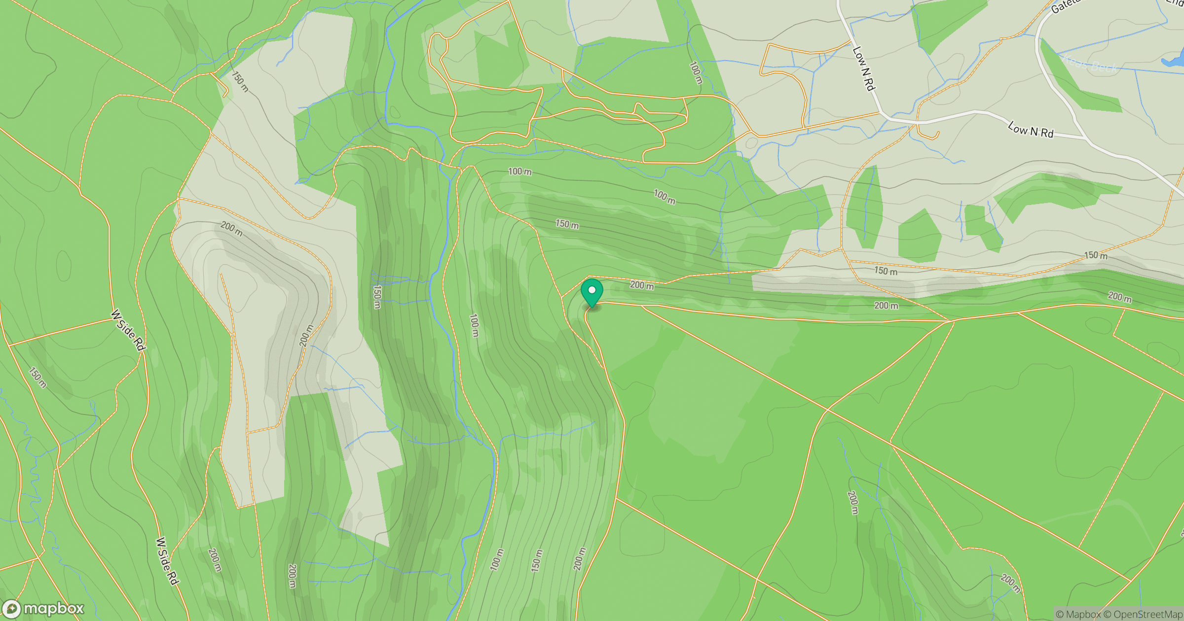
Grid reference: SE939946
View on OpenStreetMapOpens a map in a new tab, centred on the hill.
Hills within 30 km
Straight-line distance, not a walking route or confirmation of access.
No comments yet. Be the first.