

Seamer Beacon
Good walks are even better shared.
Overview
Seamer Beacon: A Hidden Gem in North Yorkshire
Seamer Beacon may not be the highest peak in Yorkshire, but what it lacks in elevation, it makes up for in charm! Standing at a modest 162 meters, this Marilyn provides glorious views without having to scale the heights of Everest.
Geology
The hill is composed primarily of Jurassic limestone, part of the stunning Yorkshire Wolds. The formation creates a unique landscape, including dry valleys and flint bands that pop up at unexpected moments. Ideal for geology buffs and casual walkers alike!
Access and Parking
Access is as easy as pie (or should we say Yorkshire pudding?). There’s parking available at the Seamer village hall, just a stone's throw from the starting point of the circular route: the Seamer Beacon Circular Walk. If you prefer public transport, don’t fret! A regular bus service operates between Scarborough and Seamer, perfect for those less inclined to navigate the car park.
The Route
The Seamer Beacon Circular Walk is about 5.5 kilometers long and takes roughly two hours to complete. While it’s marked as moderate, some sections can be a bit slippery after a rain shower, so best to leave your tap dancing shoes at home!
Summit Features
Upon reaching the summit, you’re greeted by a delightful stone cairn that practically begs for a photo op. The unrestricted views give you a glorious perspective of Scarborough and the North Sea, a perfect backdrop for your next profile picture.
Views
The vistas from Seamer Beacon are astounding, particularly in spring and summer when the landscape bursts into colour. Looking out over the Yorkshire Wolds and watching the connection between land and sea unfold is nothing short of breathtaking.
Facilities
While there are no amenities directly atop the beacon, the village of Seamer is equipped with a couple of delightful cafés that can restore your energy levels. Public toilets are available, so no need to squirm too much if nature calls unexpectedly!
History
The name 'Seamer' has roots in Old Norse, translating to 'Seyr's lake.' This hints at the historical significance of the area dating back to Viking times. Seamer Beacon has long served as a crucial navigational point for locals and tradespeople, a role it carries with pride to this day.
Conclusion
All in all, Seamer Beacon presents itself as a lovely outing for hikers of all abilities. Whether you're a serious hill walker or a leisurely stroller, this beacon of tranquility is worth a visit! Just don’t forget to pack your camera, some snacks, and maybe an umbrella if the Yorkshire weather is feeling particularly spunky today!
Explore routes near Seamer Beacon
Public walks starting within 80 km of this hill. Nearby does not mean a route reaches the summit; check its map and access before setting out.
Raincliffe Woods: Middle Road and Lady Mildred’s Ride
View route
Dalby Forest Woodcock Way Long Loop from High Staindale
View route
Dalby Forest Ellerburn Long Trail
View route
Grosmont to Beck Hole, Esk Valley Circular
View route
Route planning notes
These notes describe possible approaches, not verified navigable routes or permission to cross land. Check current paths, local access rules and conditions before setting out.
Seamer Beacon Circular Walk
A picturesque circular route starting from the village of Seamer, offering views of the surrounding countryside and an enjoyable climb to the summit.
Make a day of it, together
Find someone to share the walk with, or organise a day out along a route you like.
Photo Gallery
View all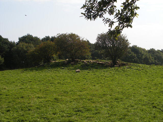 Photo could not load
TA0087 : Sheep on tumulus
Christopher Hall
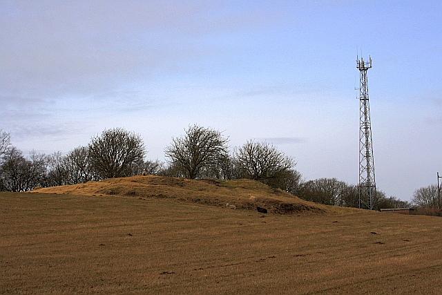 Photo could not load
TA0087 : Tumulus, Row Brow
Mick Garratt
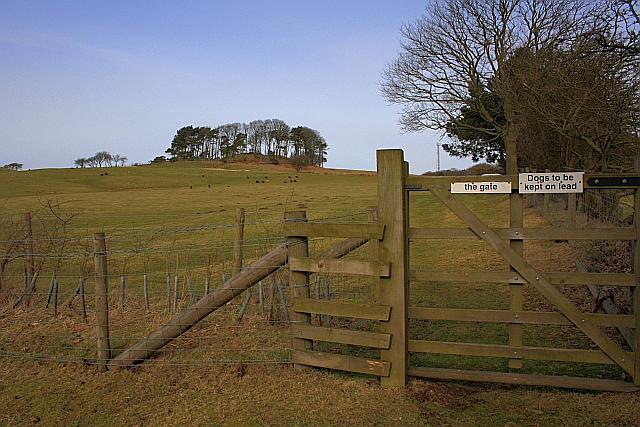 Photo could not load
TA0087 : Seamer Beacon
Mick Garratt
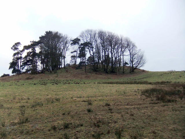 Photo could not load
TA0087 : Seamer Beacon
David Brown
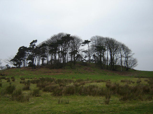 Photo could not load
TA0087 : Seamer Beacon
Martin Dawes
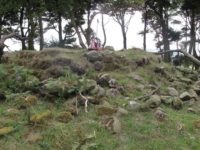 Photo could not load
TA0087 : Seamer Beacon
Rude Health
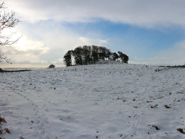 Photo could not load
TA0087 : Seamer Beacon in the snow
Christopher Hall
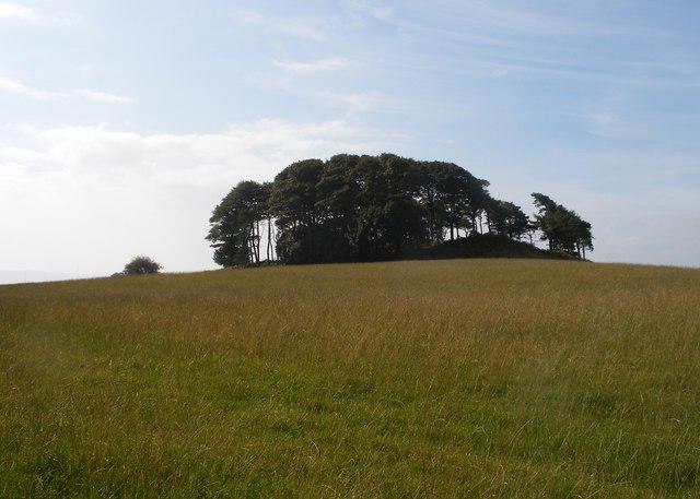 Photo could not load
TA0087 : Seamer Beacon
Christopher Hall
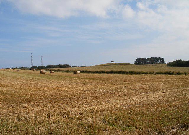 Photo could not load
TA0087 : Seamer Beacon from Irton Moor
Christopher Hall
Hill facts and local notes
Classifications
Elevation
188m
618 ft
Prominence
146m
Coordinates
54.2743, -0.4529
TA008876
OS Map
101
Explorer: OL27S 301
At the Summit
The summit is marked by a traditional stone cairn, providing a fantastic spot for a well-deserved breather and a selfie.
Terrain & Geology
The hill is primarily composed of Jurassic limestone and is part of the Yorkshire Wolds, lending it a unique karst landscape with features like dry valleys and flint bands.
Views & Scenery
A panoramic view of Scarborough and the North Sea, along with sweeping vistas of the Yorkshire Wolds.
History & Heritage
Name Origin
The name 'Seamer' is derived from the Old Norse 'Seymr' meaning 'Seyr's lake' reflecting the area’s Viking heritage.
Historical Significance
Seamer Beacon has been a navigation point for centuries, helping locals and traders find their way through this picturesque landscape.
Getting There & Facilities
Check current local access restrictions, parking rules and transport timetables before travelling. These notes do not confirm public access to the summit.
Parking
Parking is available at the Seamer village hall, just a short walk from the trailhead.
Public Transport
Regular bus services operate from Scarborough to Seamer, making this an accessible spot for day hikers.
Nearby Facilities
There are no facilities directly on the beacon, but Seamer offers a couple of charming cafés and even public toilets in the village.
Safety Information
Known Hazards
- Beware of uneven terrain, especially after wet weather; the grass can become slippery, leading to unintended yoga poses!
General Safety Tips
- Check weather conditions before setting out
- Carry appropriate clothing and equipment
- Let someone know your planned route
- Take a map, compass, and GPS device
- Carry emergency supplies: food, water, first aid kit, torch
Hills
Some common questions about the hills answered
Are there group walks up Seamer Beacon?
Many walkers use Walkmates to join or organise walks with others. You can check for group walks around Seamer Beacon through the maps
Are there other walkers around Seamer Beacon?
Activity varies by location and time, but Walkmates lets you see whether others have shared walks or shown interest in this area. Find other people through the walking friends search walking friends for Seamer Beacon search or of course create your own walk for Seamer Beacon
Can I organise a walk to Seamer Beacon?
Yes. If there aren’t any walks listed already, you can create a walk and make it available for others to join.
If you're signed up to Walkmates, you can create a walk to Seamer Beacon.
How do I find a walk up this hill?
There are often multiple ways to walk this hill, depending on experience and route preference. Walkmates helps you explore walks and routes that others have shared.
Can I suggest a new route up Seamer Beacon?
Yes. You can suggest or create routes to share with others. Walkmates focuses on the social side of walking, so routes are used to help people organise walks and explore areas together, rather than as detailed navigation tools or route libraries.
Other uses really appreciate knowledgeable walkers sharing their routes. Share your favourite route to Seamer Beacon here
The is an error or something incorrect about this hill. How do I let you know?
We always strive to keep the information on Walkmates as accurate as possible. If you find an error, please let us know through the contact form and we'll aim to correct it as quickly as possible
Community Discussion
Comments
Location
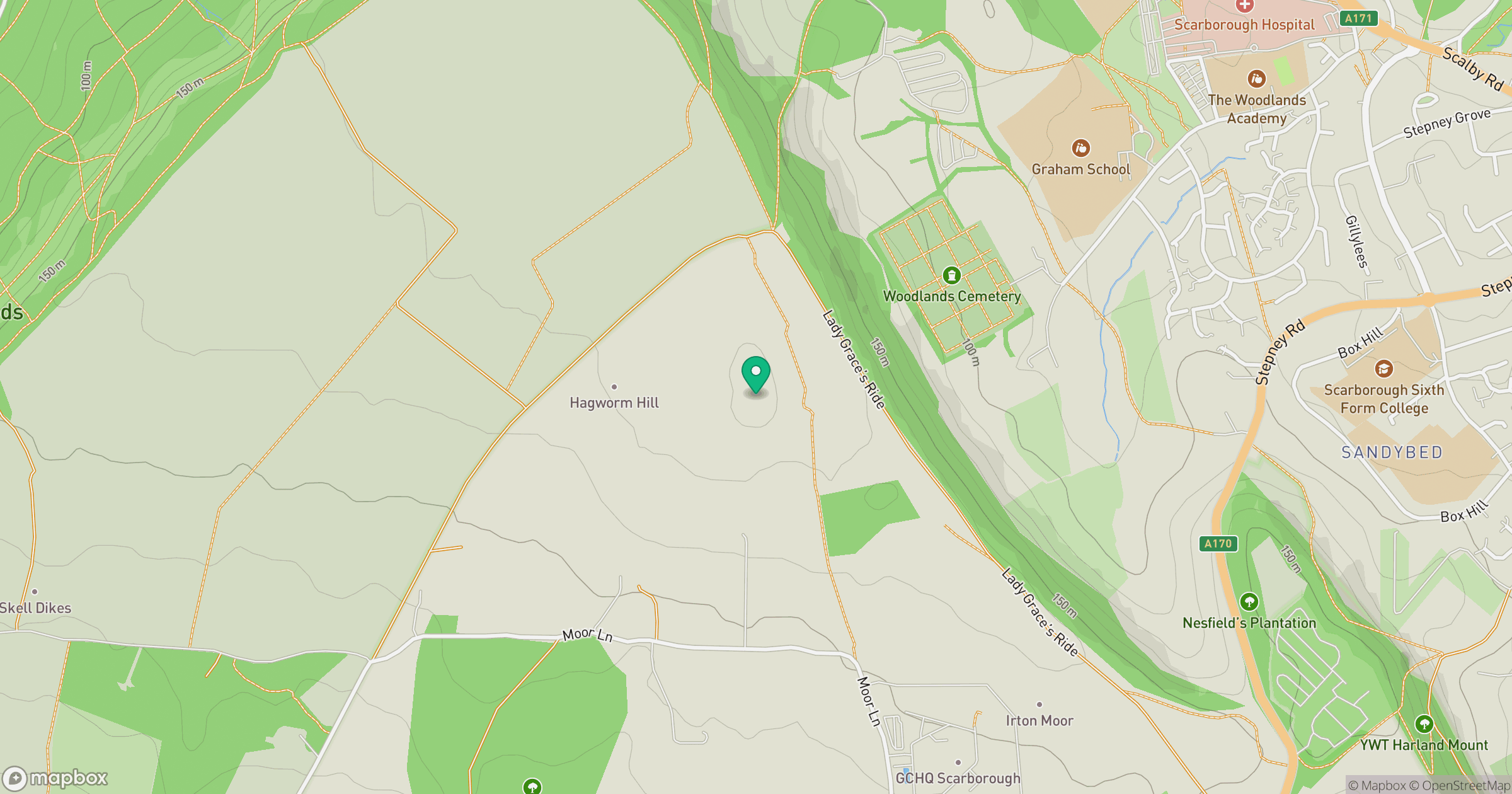
Grid reference: TA008876
View on OpenStreetMapOpens a map in a new tab, centred on the hill.
Hills within 30 km
Straight-line distance, not a walking route or confirmation of access.
No comments yet. Be the first.