

Brow Moor
Good walks are even better shared.
Overview
Brow Moor Hike
Brow Moor stands tall at 436 meters, inviting hikers to explore its verdant beauty and striking views. Located in the North York Moors, this Marilyn offers a modest challenge and spectacular rewards, making it a must-visit for outdoor enthusiasts.
Geology
The area is predominantly sandstone, giving way to intriguing geological formations. Don’t forget to look for rocks that tell the story of millennia—just don’t expect them to talk back!
Route & Access
The Brow Moor Trail begins at Blakey and is easy to follow, with a moderate distance of about 4.5 km. Allow approximately 1.5 hours to summit and relish the breathtaking sights along the way. For parking, head to the Blakey Ridge car park, where finding a spot might be like looking for a needle in a haystack on sunny weekends!
Summit Features
Upon reaching the summit, you are greeted by a trig point, a perfect backdrop for that triumphant fist-in-the-air photo. Just be careful of the wind up there; it can be a bit cheeky!
Terrain & Hazards
The terrain varies from grassy expanses to a few rocky, tricky patches, with boggy bits that could leave you feeling like you’ve been sucked into quicksand if you’re not careful. Keep an eye on the weather, as it can change faster than you can say 'raining cats and dogs'.
Views
The panoramic views are astonishing. You might spot Rosedale Abbey in the distance, with the dramatic sweep of the North York Moors unfurling below. For the best views, spring and early autumn provide vibrant sights alongside clearer skies.
Nearby Summits
Brow Moor is nestled among other delights such as Rosedale East Moor and Grimsby Hill, perfect for those keen to bag another peak!
Facilities
After your hike, the nearby village of Rosedale Abbey hosts a café ready to serve you delectable bites and warm drinks—essential refuel! Restrooms are also available in the village, a welcomed sight after a mountain hike.
History
The name Brow Moor gives a delightful nod to its landscape roots, meaning 'hill on the moor'. It’s a classic Yorkshire tale, simple yet loaded with charm. The moor has been shaped by both nature and industry over time, creating a fascinating backdrop for your adventure.
Many have stridden over these grounds, so consider every step an homage to the walkers before you. Happy hiking, and may your boots remain mud-free of traps you!
Explore routes near Brow Moor
Public walks starting within 80 km of this hill. Nearby does not mean a route reaches the summit; check its map and access before setting out.
Whitby to Robin Hood’s Bay: full Cleveland Way coast walk
View route
Whitby to Stainsacre on the Cinder Track
View route
Raincliffe Woods: Middle Road and Lady Mildred’s Ride
View route
Dalby Forest Woodcock Way Long Loop from High Staindale
View route
Route planning notes
These notes describe possible approaches, not verified navigable routes or permission to cross land. Check current paths, local access rules and conditions before setting out.
Brow Moor Trail
A well-marked path leading from the village of Blakey, offering stunning views and moderate difficulty suitable for most walkers.
Make a day of it, together
Find someone to share the walk with, or organise a day out along a route you like.
Photo Gallery
View all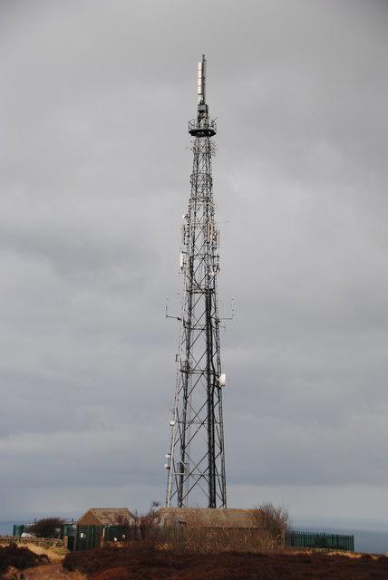 Photo could not load
NZ9701 : Radio mast on Stoup Brow
op47
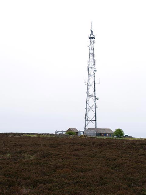 Photo could not load
NZ9701 : Telecommunications Mast
Stephen McCulloch
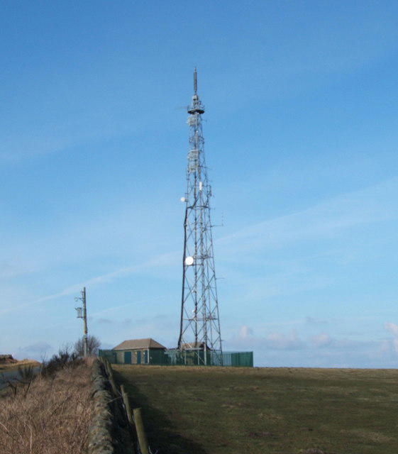 Photo could not load
NZ9701 : Telecommunications Mast on Stoupe Brow
JThomas
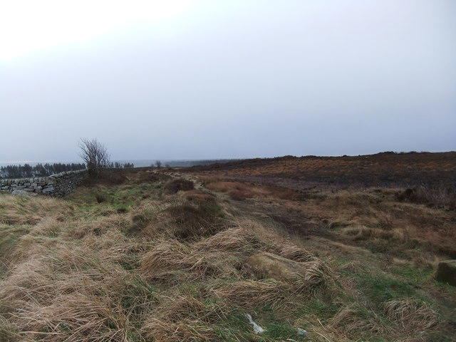 Photo could not load
NZ9701 : Green Dike
David Brown
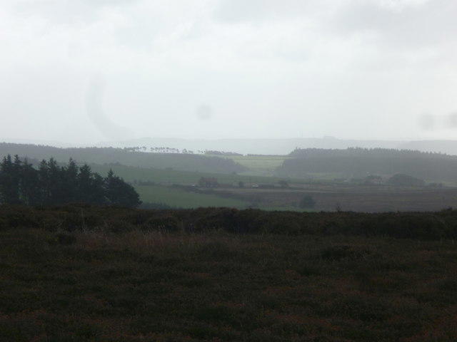 Photo could not load
NZ9701 : On Fylingdales Moor
Michael Graham
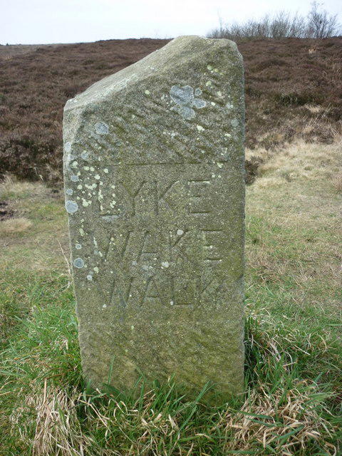 Photo could not load
NZ9701 : The end of the Lyke Wake Walk?
Ian S
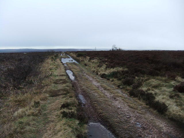 Photo could not load
NZ9601 : Moorland track
David Brown
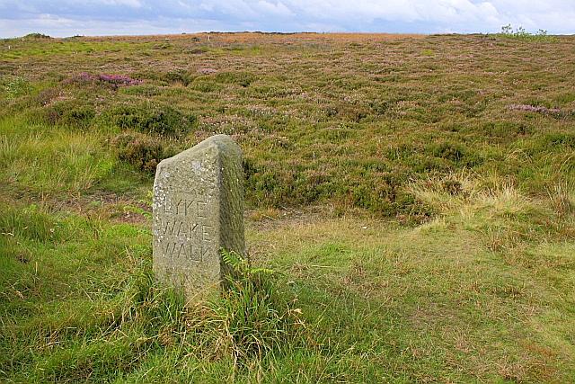 Photo could not load
NZ9701 : Waymark, Ravenscar Hill
Mick Garratt
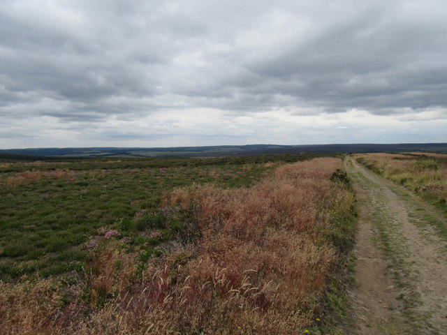 Photo could not load
NZ9601 : Stony Marl Moor
T Eyre
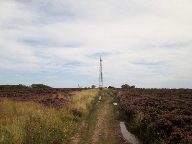
NZ9601 : Toward the mast at Ravenscar
Martin Dawes
Hill facts and local notes
Classifications
Elevation
266m
873 ft
Prominence
109m
Coordinates
54.3967, -0.5077
NZ969011
OS Map
94
Explorer: OL27N
At the Summit
At the summit, you'll find a prominent trig point that gives you the satisfaction of saying you've 'bagged another'. It’s a popular spot for amateur photographers hoping to capture the perfect selfie with the Yorkshire scenery.
Terrain & Geology
Brow Moor's bedrock consists mainly of sandstone, which has been shaped by the forces of nature over eons. The surrounding areas feature intriguing outcrops and glacial deposits, making it a rewarding locale for geology enthusiasts.
Views & Scenery
From the summit, gaze upon the sprawling North York Moors, with the iconic silhouette of Rosedale Abbey in the distance and, on a clear day, even the North Sea.
History & Heritage
Name Origin
The name 'Brow' is likely derived from Old English, meaning 'hill' or 'mound', while 'Moor' refers to the typical landscape of the areas around Yorkshire. So, it's the hill on the moor—quite a straightforward affair really!
Historical Significance
Brow Moor's landscape has been shaped by both natural and human activities over centuries, especially with the nearby historical mining sites now turned into scenic trails.
Getting There & Facilities
Check current local access restrictions, parking rules and transport timetables before travelling. These notes do not confirm public access to the summit.
Parking
Parking is available at the Blakey Ridge car park, with ample space for vehicles. The car park can get busy on weekends.
Public Transport
Limited public transport options are available, with the nearest bus services running from Pickering to local villages; carpooling is recommended for a stress-free trip.
Nearby Facilities
A charming café is located in the nearby village of Rosedale Abbey, perfect for a well-earned cuppa after your hike, along with public toilets in the village.
Safety Information
Known Hazards
- Watch out for sudden weather changes, as the moors can be notoriously unpredictable. Also, be cautious on the boggy areas; they can swallow a well-meaning boot faster than you can say 'mud!'
General Safety Tips
- Check weather conditions before setting out
- Carry appropriate clothing and equipment
- Let someone know your planned route
- Take a map, compass, and GPS device
- Carry emergency supplies: food, water, first aid kit, torch
Hills
Some common questions about the hills answered
Are there group walks up Brow Moor?
Many walkers use Walkmates to join or organise walks with others. You can check for group walks around Brow Moor through the maps
Are there other walkers around Brow Moor?
Activity varies by location and time, but Walkmates lets you see whether others have shared walks or shown interest in this area. Find other people through the walking friends search walking friends for Brow Moor search or of course create your own walk for Brow Moor
Can I organise a walk to Brow Moor?
Yes. If there aren’t any walks listed already, you can create a walk and make it available for others to join.
If you're signed up to Walkmates, you can create a walk to Brow Moor.
How do I find a walk up this hill?
There are often multiple ways to walk this hill, depending on experience and route preference. Walkmates helps you explore walks and routes that others have shared.
Can I suggest a new route up Brow Moor?
Yes. You can suggest or create routes to share with others. Walkmates focuses on the social side of walking, so routes are used to help people organise walks and explore areas together, rather than as detailed navigation tools or route libraries.
Other uses really appreciate knowledgeable walkers sharing their routes. Share your favourite route to Brow Moor here
The is an error or something incorrect about this hill. How do I let you know?
We always strive to keep the information on Walkmates as accurate as possible. If you find an error, please let us know through the contact form and we'll aim to correct it as quickly as possible
Community Discussion
Comments
Location
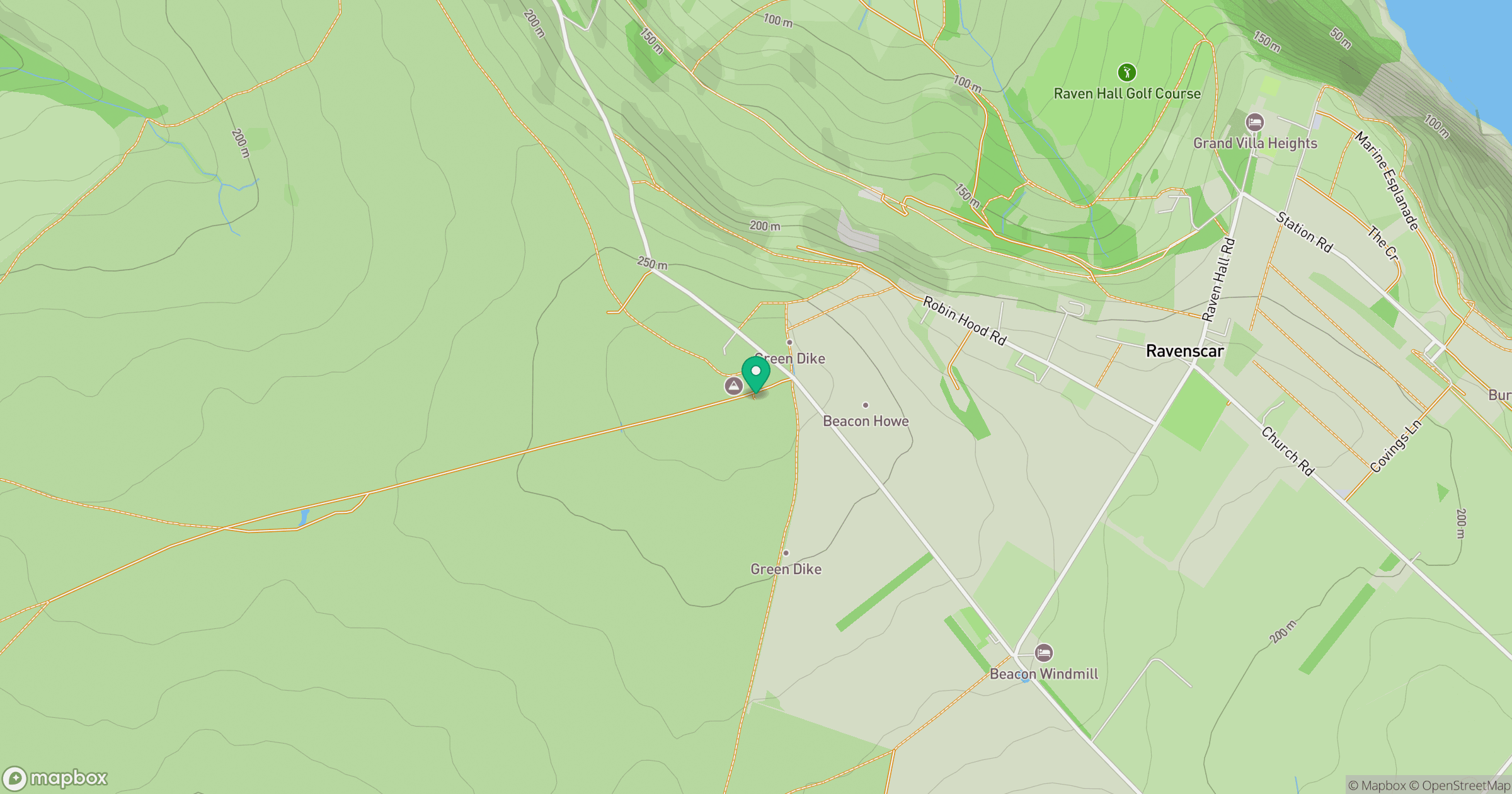
Grid reference: NZ969011
View on OpenStreetMapOpens a map in a new tab, centred on the hill.
Hills within 30 km
Straight-line distance, not a walking route or confirmation of access.
No comments yet. Be the first.