

Oliver's Mount
Good walks are even better shared.
TA0486 : Oliver's Mount
Paul Glazzard Photo source
Overview
Exploring Oliver's Mount
Oliver's Mount, standing proudly at 134 meters, is a beacon for hikers and outdoor enthusiasts alike, nestled in the stunning North Yorkshire region. This Marilyn provides visitors with both natural beauty and a touch of military history.
Geology
The bedrock of Oliver's Mount is formed primarily from Jurassic limestone. Not only does this contribute to the varied terrain, but it also forms the striking crags that define much of the eastern ascent.
Parking and Access
Starting your adventure is a cinch! The nearest parking is conveniently located at the Oliver's Mount car park, which is free and easily accessible from the A165. From there, you can embark on one of the well-marked trails leading to the summit.
Scarborough train station is just a stone's throw away and connects to various cities. Plus, local buses make frequent runs to the area, ensuring access is not much of a bother.
Routes
- Oliver's Mount Loop: For a gentle stroll that evolves into an enchanting loop around the base, this route spans 3.5 km and generally takes about 1.5 hours. It's perfect for families!
- Steep Climb from the East: Fancy a workout? This moderate climb tests your mettle with its steeper sections, covering 1.2 km in approximately an hour. Just remember to breathe!
Summit Features
Upon reaching the top, you'll be greeted by a charming Victorian monument, paying tribute to valiant soldiers lost in the First World War. From here, the views stretch endlessly, providing an irresistible backdrop for your well-deserved snack break.
Terrain
The terrain is mainly grassy, interspersed with rocky patches and the occasional woodland path. Perfect for those looking to embrace nature with style!
The Views
On a clear day, the views are splendid! The North Sea glistens invitingly, while Scarborough's coastline dances under the sun. As the leaves change colour in autumn or bloom in spring, the beauty is truly breathtaking.
Hazards
While the paths are well kept, keep an eye out for muddy patches following rain. Additionally, some steeper sections require caution, especially if you’re wearing your new fancy hiking boots!
Nearby Summits
Explore beyond Oliver's Mount! Nearby, you'll find Crown Point and Ramsdale Hill, both of which add depth to your hiking experience in the region.
Facilities
Once back down, treat yourself at one of Scarborough's many cafes — the waterfront fish and chips are a must, by the way. Public toilets are also abundant.
History
Legend has it that Oliver's Mount got its name from local lore, potentially linked to none other than Oliver Cromwell! This adds a rich layer of historical intrigue to your visit.
Whether you’re a seasoned hiker or just someone looking to stretch their legs, Oliver's Mount is an excellent choice. Easy access, stunning views, and a splash of history await you!
Happy hiking!
Explore routes near Oliver's Mount
Walks starting near this hill. Open a route to check its map, distance and full itinerary.
Raincliffe Woods: Middle Road and Lady Mildred’s Ride
View route
Dalby Forest Woodcock Way Long Loop from High Staindale
View route
Dalby Forest Ellerburn Long Trail
View route
Flamborough Head Circular
View route
Route planning notes
These notes describe possible approaches. Check a route's map and access information when planning your walk.
Oliver's Mount Loop
A scenic loop starting from the car park, winding around the base before ascending to the summit with panoramic views over Scarborough.
Steep Climb from the East
A more direct ascent that features some steep sections, offering a challenge alongside beautiful woodland trails.
Make a day of it, together
Find someone to share the walk with, or organise a day out along a route you like.
Photo Gallery
View all Photo could not load
TA0486 : Oliver's Mount
Paul Glazzard
 Photo could not load
TA0387 : Viewpoint at Oliver's Mount
Alan Walker
 Photo could not load
TA0386 : Garden, Oliver's Mount, Scarborough, Yorkshire
Christine Matthews
 Photo could not load
TA0387 : View of Scarborough
Anne Burgess
 Photo could not load
TA0486 : War Memorial Oliver's Mount
Martin Dawes
 Photo could not load
TA0387 : View of Scarborough
Russel Wills
 Photo could not load
TA0386 : Oliver's Mount, Scarborough, Yorkshire
Christine Matthews
 Photo could not load
TA0386 : Oliver's Mount, Scarborough, Yorkshire
Christine Matthews
 Photo could not load
TA0386 : Oliver's Mount, Scarborough, Yorkshire
Christine Matthews

TA0387 : War Memorial at Oliver's Mount, Scarborough
Ian S
Hill facts and local notes
Classifications
Elevation
155m
509 ft
Prominence
112m
Coordinates
54.2674, -0.4057
TA039869
OS Map
101
Explorer: OL27S 301
At the Summit
At the summit, you'll find a prominent Victorian-style monument dedicated to the fallen soldiers of the First World War, along with breathtaking views that could easily make you forget about your snack break!
Terrain & Geology
The underlying geology of Oliver's Mount is primarily composed of Jurassic limestone, which forms the craggy outcrops seen on the eastern face. The area features a rich tapestry of soil types and deposits, offering a glimpse into millions of years of geological history.
Views & Scenery
During clear days, you can see the vast expanse of the North Sea, the Scarborough coastline, and even the distant moors that cradle the area's natural beauty.
History & Heritage
Name Origin
Oliver’s Mount is thought to be named after a local legend, with some suggesting it commemorates Oliver Cromwell’s presence in the area during the Civil War.
Historical Significance
The mount has historical significance tied to military history and local folklore, making it a point of interest for both history buffs and hikers alike.
Getting There & Facilities
Parking
There is free parking available at the Oliver's Mount car park located off the A165. It's well signposted and accommodates many vehicles.
Public Transport
Scarborough has a train station that connects to major cities; local buses frequently travel around the area to get you closer to the base.
Nearby Facilities
In Scarborough, you'll find a variety of cafes, restaurants, and public toilets near the beach. There's also a popular fish and chips shop that you simply can't miss!
Safety Information
Known Hazards
- While the paths are generally well-maintained, be cautious of muddy sections after rainfall, and take care on the steeper ascents.
General Safety Tips
- Check weather conditions before setting out
- Carry appropriate clothing and equipment
- Let someone know your planned route
- Take a map, compass, and GPS device
- Carry emergency supplies: food, water, first aid kit, torch
Hills
Some common questions about the hills answered
Are there group walks up Oliver's Mount?
Many walkers use Walkmates to join or organise walks with others. You can check for group walks around Oliver's Mount through the maps
Are there other walkers around Oliver's Mount?
Activity varies by location and time, but Walkmates lets you see whether others have shared walks or shown interest in this area. Find other people through the walking friends search walking friends for Oliver's Mount search or of course create your own walk for Oliver's Mount
Can I organise a walk to Oliver's Mount?
Yes. If there aren’t any walks listed already, you can create a walk and make it available for others to join.
If you're signed up to Walkmates, you can create a walk to Oliver's Mount.
How do I find a walk up this hill?
There are often multiple ways to walk this hill, depending on experience and route preference. Walkmates helps you explore walks and routes that others have shared.
Can I suggest a new route up Oliver's Mount?
Yes. You can suggest or create routes to share with others. Walkmates focuses on the social side of walking, so routes are used to help people organise walks and explore areas together, rather than as detailed navigation tools or route libraries.
Other uses really appreciate knowledgeable walkers sharing their routes. Share your favourite route to Oliver's Mount here
The is an error or something incorrect about this hill. How do I let you know?
We always strive to keep the information on Walkmates as accurate as possible. If you find an error, please let us know through the contact form and we'll aim to correct it as quickly as possible
Community Discussion
Comments
Location
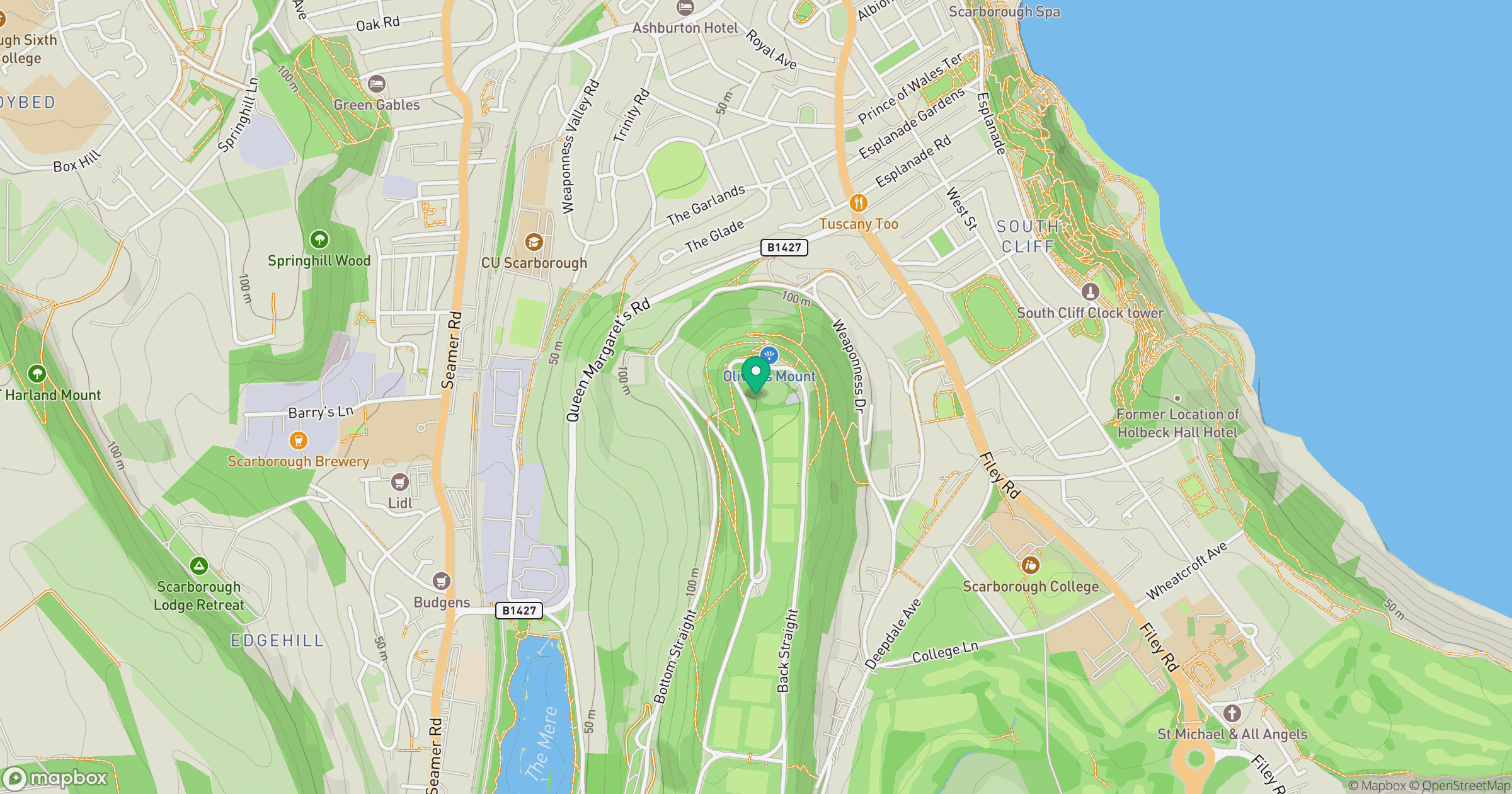
Grid reference: TA039869
View on OpenStreetMapOpens a map in a new tab, centred on the hill.
Nearby Hills
Rombalds Moor [Ilkley Moor]
402m
Buckden Pike
702m
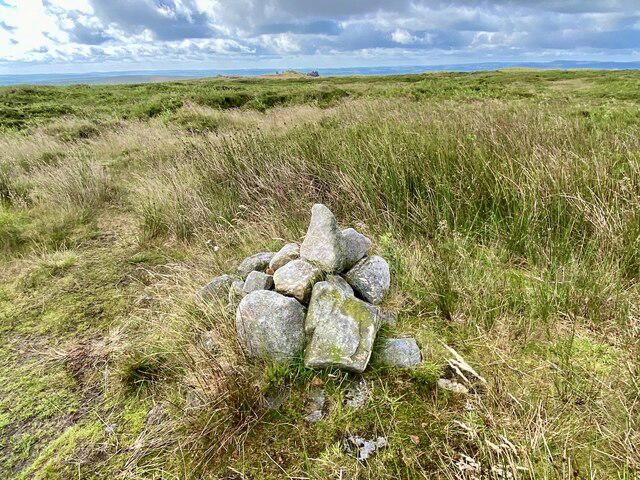
Kinder Scout
636m
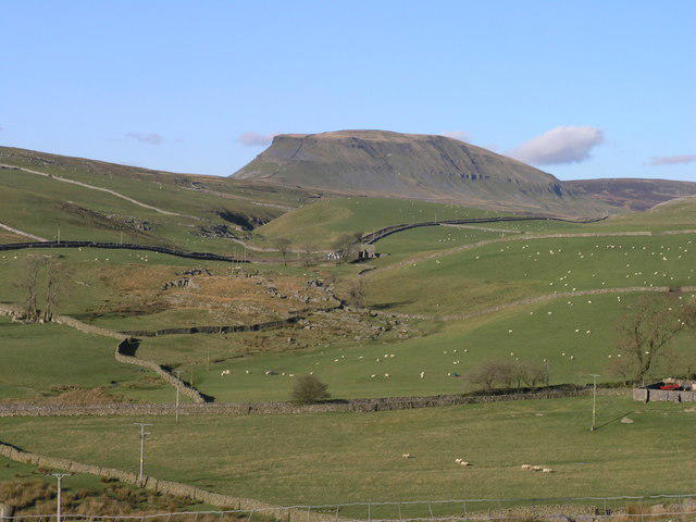
Pen-y-ghent
694m
Nine Standards Rigg
662m
No comments yet. Be the first.