

Slievemartin
Good walks are even better shared.
J2017 : The penultimate stretch of the climb to the summit of Slievemartin
Eric Jones Photo source
Explore routes near Slievemartin
Walks starting near this hill. Open a route to check its map, distance and full itinerary.
Silent Valley to Ben Crom Dam: Reservoir Road Walk, County Down
View route
Tollymore Forest Park: River Trail near Newcastle
View route
Castlewellan Forest Park: Lake, Arboretum and Mitchell's Lake Circuit
View route
Scarva to Poyntzpass: Newry Canal and Lough Shark Return
View route
Route planning notes
These notes describe possible approaches. Check a route's map and access information when planning your walk.
Mourne Wall Route
A scenic route that follows the iconic Mourne Wall with stunning views and varied terrain.
Brandy Pad Route
A popular route that provides a gentle ascent with expansive views of the surrounding mountains and valleys.
Make a day of it, together
Find someone to share the walk with, or organise a day out along a route you like.
Photo Gallery
View all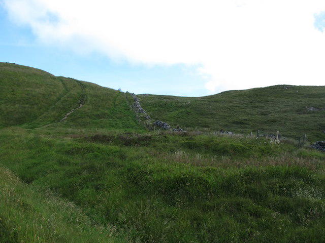 Photo could not load
J2017 : The penultimate stretch of the climb to the summit of Slievemartin
Eric Jones
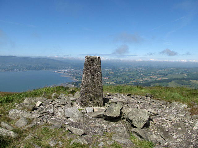 Photo could not load
J2017 : Trig Point on the Summit of Slieve Martin
Eric Jones
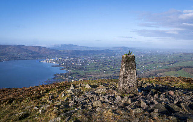 Photo could not load
J2017 : Slieve Martin Triangulation Pillar
Rossographer
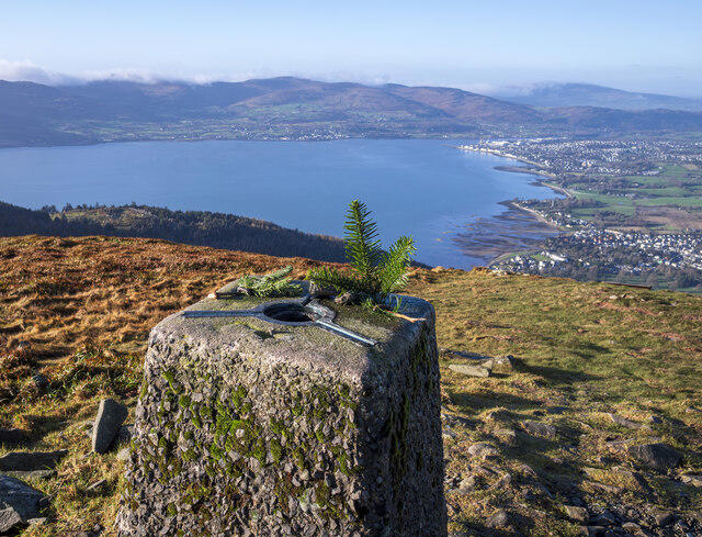 Photo could not load
J2017 : Slieve Martin Triangulation Pillar
Rossographer
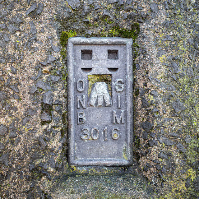 Photo could not load
J2017 : Flush Bracket, Slieve Martin Triangulation Pillar
Rossographer
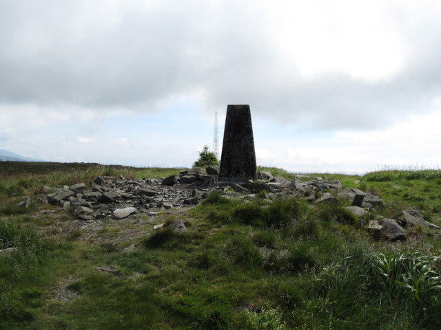 Photo could not load
J2017 : The Slieve Martin Triangulation Pillar
Eric Jones
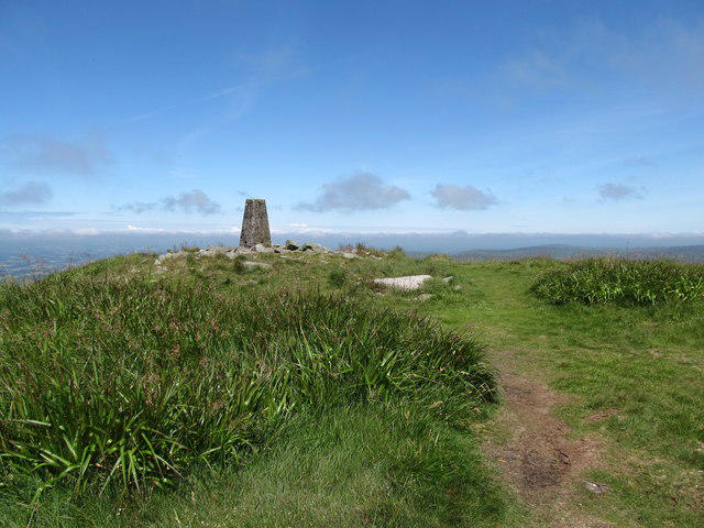 Photo could not load
J2017 : Approaching the summit of Slieve Martin
Eric Jones
Hill facts and local notes
Classifications
Elevation
483m
1,585 ft
Prominence
177m
Coordinates
54.0936, -6.1651
J201176
OS Map
29 36
At the Summit
The summit features a large stone cairn and offers a trig point for the avid peak bagger. On a clear day, you might even spot a few brave souls flying kites at altitude!
Terrain & Geology
Slievemartin is primarily composed of granite, which formed from molten magma. The area showcases typical geological features of the Mourne Mountains, including scree slopes and rocky outcrops, which present a true reflection of the region's volcanic history.
Views & Scenery
From the summit, hikers can see the Irish Sea, the town of Newcastle, and the other peaks of the Mourne range, including Slieve Donard.
History & Heritage
Name Origin
The name Slievemartin is derived from the Irish 'Sliabh Mhártain’, meaning 'mountain of the martins', likely referencing the local wildlife.
Historical Significance
The Mourne Mountains are steeped in folklore and have been the inspiration for poets and writers, including the renowned Percy French.
Getting There & Facilities
Parking
Car park at Donard Park, Newcastle; it has ample spaces and is a short drive from the start of popular routes.
Public Transport
Regular bus services run from Belfast to Newcastle, with some local taxis available for the final stretch to hiking trailheads.
Nearby Facilities
In Newcastle, you'll find a range of facilities, including cafes, restaurants, and public toilets for those pre-hike emergencies.
Safety Information
Known Hazards
- Watch for rapidly changing weather conditions typical of the mountains. Boggy areas can be treacherous, and the rocky sections require careful footing.
General Safety Tips
- Check weather conditions before setting out
- Carry appropriate clothing and equipment
- Let someone know your planned route
- Take a map, compass, and GPS device
- Carry emergency supplies: food, water, first aid kit, torch
Hills
Some common questions about the hills answered
Are there group walks up Slievemartin?
Many walkers use Walkmates to join or organise walks with others. You can check for group walks around Slievemartin through the maps
Are there other walkers around Slievemartin?
Activity varies by location and time, but Walkmates lets you see whether others have shared walks or shown interest in this area. Find other people through the walking friends search walking friends for Slievemartin search or of course create your own walk for Slievemartin
Can I organise a walk to Slievemartin?
Yes. If there aren’t any walks listed already, you can create a walk and make it available for others to join.
If you're signed up to Walkmates, you can create a walk to Slievemartin.
How do I find a walk up this hill?
There are often multiple ways to walk this hill, depending on experience and route preference. Walkmates helps you explore walks and routes that others have shared.
Can I suggest a new route up Slievemartin?
Yes. You can suggest or create routes to share with others. Walkmates focuses on the social side of walking, so routes are used to help people organise walks and explore areas together, rather than as detailed navigation tools or route libraries.
Other uses really appreciate knowledgeable walkers sharing their routes. Share your favourite route to Slievemartin here
The is an error or something incorrect about this hill. How do I let you know?
We always strive to keep the information on Walkmates as accurate as possible. If you find an error, please let us know through the contact form and we'll aim to correct it as quickly as possible
Community Discussion
Comments
Location
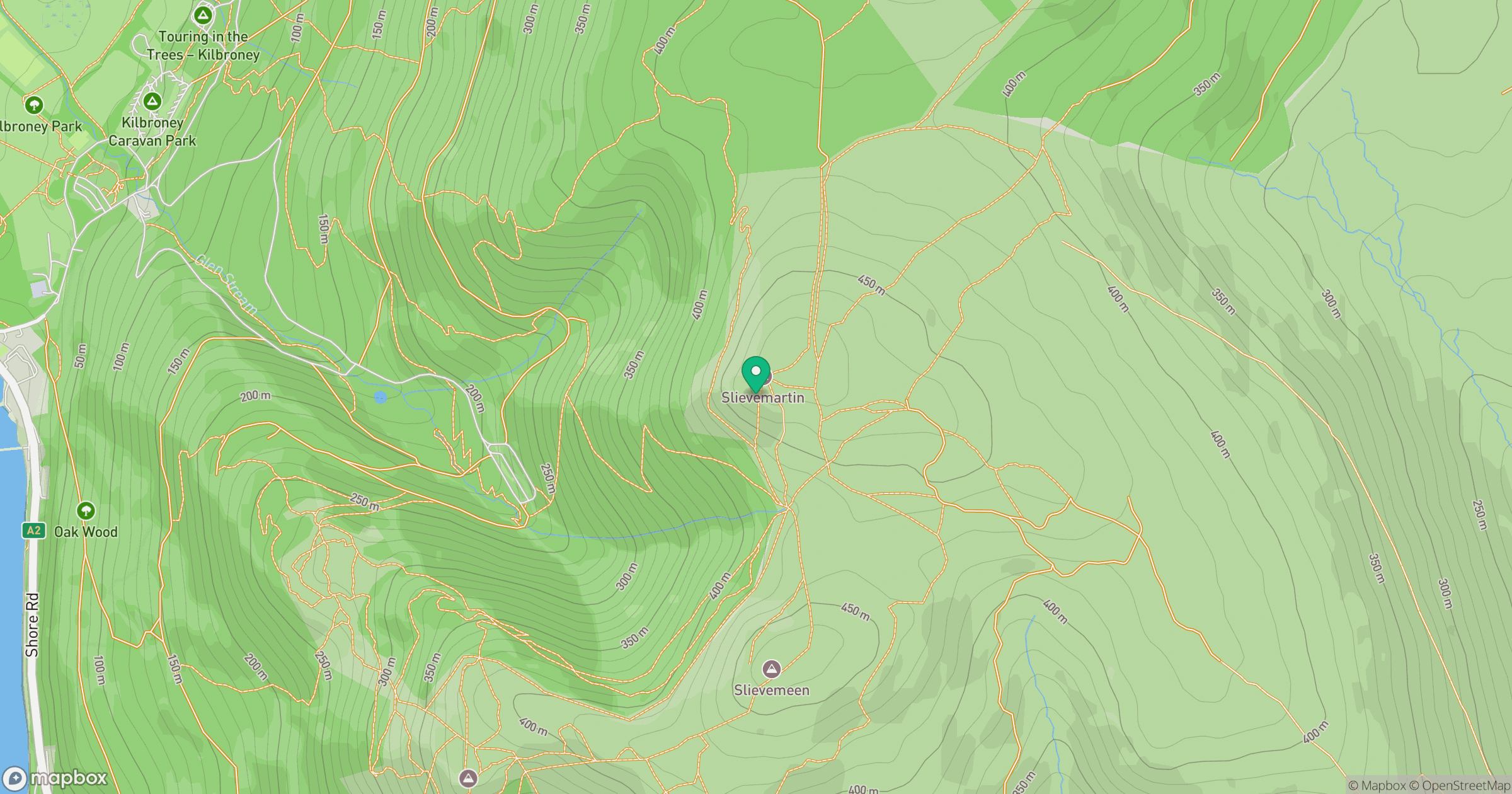
Grid reference: J201176
View on OpenStreetMapOpens a map in a new tab, centred on the hill.
No comments yet. Be the first.