

Linch Down
Good walks are even better shared.
Overview
Linch Down
Nestled within the picturesque South Downs National Park, Linch Down stands as a modest yet charming hill, perfect for those seeking a peaceful escape into nature.
Geology
Linch Down is predominantly made up of chalk, characteristic of the South Downs. The unique geology not only shapes the landscape but also the ecosystem, supporting a variety of flora and fauna.
Routes
For those aching to stretch their legs, the Linch Down Circular Walk is a delightful route. Starting in the village of Linch, this easy trail spans 5.5 km and typically takes about 1.5 hours to complete. Bring your walking boots and perhaps a picnic—nothing quite beats lunch with a view!
Summit Features
Upon reaching the summit, you'll be greeted by a grassy knoll with a modest marker. It's not the highest point in the area, but it sure offers some of the best views—perfect for a scenic photo op to ensure everyone knows about your adventurous spirit!
Terrain Type
The terrain at Linch Down varies from pleasant grassy knolls to steeper sections, all on well-trodden paths. It's suitable for family walks, but keep a tight leash on the little ones if they’re prone to wandering.
Views
From the top, you can take in the rolling hills and enjoy a panorama of the English countryside. On a clear day, you might even spot the distant hills of the South Downs or the charming villages that punctuate the landscape. Spring and autumn bring the most vibrant colours and are advisable for the best views.
Hazards
While the paths are generally safe, be wary of the local sheep who take pride in their territory and may not yield to weary hikers. No sheep were harmed in the making of this write-up, but they can be a bit cheeky!
Nearby Summits
Just a stone's throw from Linch Down lies Blackdown, the highest hill in Sussex, and Woolbeding Hill, both offering additional trekking options for those keen on exploring more.
Access
Access to Linch Down is straightforward. The nearest parking is in the village of Linch itself, about 1 km from the starting point. For those relying on public transport, be mindful that the bus services from Midhurst, around 6 km away, can be a bit hit and miss.
Facilities
To refuel after your climb or prepare for your journey, Midhurst offers a variety of cafes and public toilets—always a welcomed sight post-hike!
History
The etymology of 'Linch' hints at its topographical significance, derived from old English meaning 'bank' or 'ridge'. Historically, this area has been tied deeply to agricultural roots and local lore.
In summary, Linch Down is an inviting destination for outdoor enthusiasts seeking a gentle yet rewarding hike, making the perfect day out for individuals and families alike! Don’t forget your camera, and perhaps a few snacks— it could be a long walk back to the village!
Explore routes near Linch Down
Public walks starting within 80 km of this hill. Nearby does not mean a route reaches the summit; check its map and access before setting out.
Petworth Walk with Men Walking & Talking
View route
Petworth Park: Capability Brown Hills and Lower Pond Circuit
View route
Havant Walk with Men Walking & Talking
View route
Hindhead Sailor's Stroll to Gibbet Hill
View route
Route planning notes
These notes describe possible approaches, not verified navigable routes or permission to cross land. Check current paths, local access rules and conditions before setting out.
Linch Down Circular Walk
A scenic circular route starting at the nearby village of Linch, offering stunning views along the way.
Make a day of it, together
Find someone to share the walk with, or organise a day out along a route you like.
Photo Gallery
View all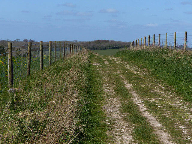 Photo could not load
SU8417 : Southdowns Way on Linch Ball
Chris Gunns
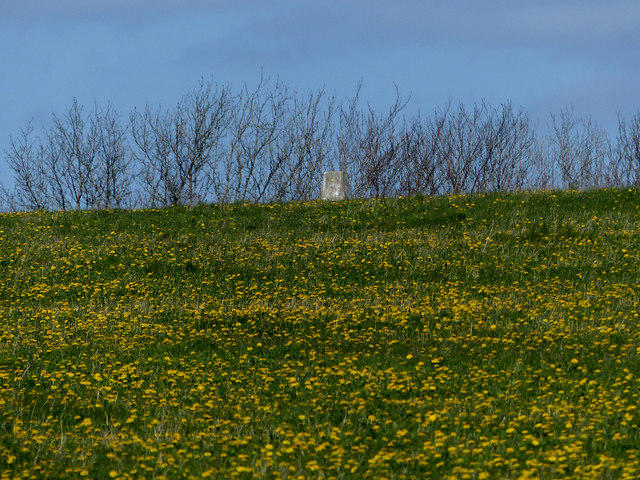 Photo could not load
SU8417 : Triangulation pillar on Linch Ball
Chris Gunns
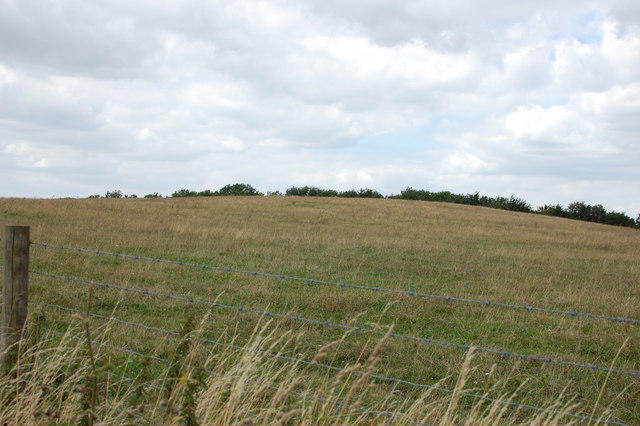 Photo could not load
SU8417 : Linch Down
Trevor Harris
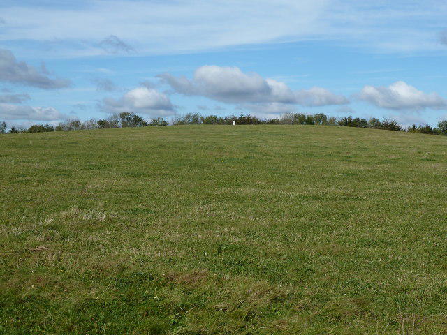 Photo could not load
SU8417 : Linch Ball hilltop
Dave Spicer
Hill facts and local notes
Classifications
Elevation
248m
815 ft
Prominence
112m
Coordinates
50.9496, -0.7939
SU848173
OS Map
197
Explorer: OL8 120
At the Summit
The summit features a small grassy knoll with a humble marker, offering an excellent vantage point for views of the surrounding countryside.
Terrain & Geology
Linch Down is primarily composed of chalk, typical of the South Downs, with areas of clay and flint contributing to its unique terrain.
Views & Scenery
On a clear day, view the rolling hills of the South Downs and the quaint villages dotting the landscape. Look out for the iconic English countryside, dotted with sheep and picturesque farms.
History & Heritage
Name Origin
The name 'Linch' may derive from the Old English word for 'bank' or 'ridge', perhaps referring to its elevated position.
Historical Significance
The area has been historically significant for agriculture and as part of local folklore, often associated with rural life in Sussex.
Getting There & Facilities
Check current local access restrictions, parking rules and transport timetables before travelling. These notes do not confirm public access to the summit.
Parking
Free parking is available at the village of Linch, approximately 1 km from the start of the walking route.
Public Transport
The nearest bus service runs from Midhurst, approximately 6 km away. Be sure to check the schedules, as they can be infrequent.
Nearby Facilities
The nearest facilities including cafes and public toilets can be found in Midhurst.
Safety Information
Known Hazards
- Watch out for sheep on the paths! They may not move out of your way, but they certainly add to the charm!
General Safety Tips
- Check weather conditions before setting out
- Carry appropriate clothing and equipment
- Let someone know your planned route
- Take a map, compass, and GPS device
- Carry emergency supplies: food, water, first aid kit, torch
Hills
Some common questions about the hills answered
Are there group walks up Linch Down?
Many walkers use Walkmates to join or organise walks with others. You can check for group walks around Linch Down through the maps
Are there other walkers around Linch Down?
Activity varies by location and time, but Walkmates lets you see whether others have shared walks or shown interest in this area. Find other people through the walking friends search walking friends for Linch Down search or of course create your own walk for Linch Down
Can I organise a walk to Linch Down?
Yes. If there aren’t any walks listed already, you can create a walk and make it available for others to join.
If you're signed up to Walkmates, you can create a walk to Linch Down.
How do I find a walk up this hill?
There are often multiple ways to walk this hill, depending on experience and route preference. Walkmates helps you explore walks and routes that others have shared.
Can I suggest a new route up Linch Down?
Yes. You can suggest or create routes to share with others. Walkmates focuses on the social side of walking, so routes are used to help people organise walks and explore areas together, rather than as detailed navigation tools or route libraries.
Other uses really appreciate knowledgeable walkers sharing their routes. Share your favourite route to Linch Down here
The is an error or something incorrect about this hill. How do I let you know?
We always strive to keep the information on Walkmates as accurate as possible. If you find an error, please let us know through the contact form and we'll aim to correct it as quickly as possible
Community Discussion
Comments
Location
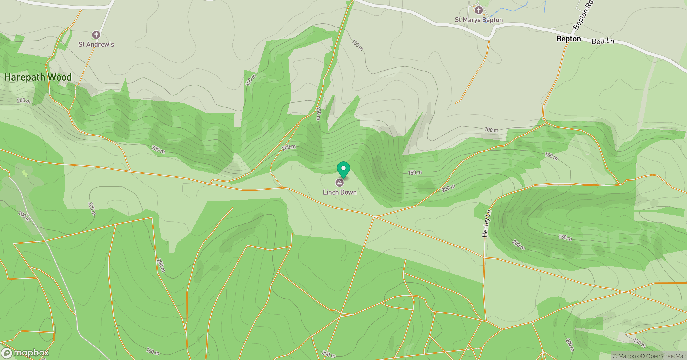
Grid reference: SU848173
View on OpenStreetMapOpens a map in a new tab, centred on the hill.
Hills within 30 km
Straight-line distance, not a walking route or confirmation of access.
No comments yet. Be the first.