

St Boniface Down
Good walks are even better shared.
SZ5678 : Luccombe Down
Anne Burgess Photo source
Overview
St Boniface Down
St Boniface Down rises above Ventnor and is the Isle of Wight’s highest hill. DoBIH records 242 m and a 242 m drop, making it a Marilyn. The exact natural high point at SZ 56881 78520 is unmarked ground inside the outer security fence. The nearby higher embankment is artificial and ground by the car park farther east is slightly lower. A walk on the public perimeter paths does not reach the recorded summit: do not climb fences or enter the compound without permission.
A complete public-path circuit
The National Trust’s Views of Ventnor trail starts and finishes at Ventnor Downs car park, SZ565784, off Down Lane. Its full circuit is 4 km with 200 m ascent and a published duration of 1 hour 15 minutes to 1 hour 45 minutes.
Follow the outside of the radar perimeter, then descend the steep stepped ridge towards Coombe Bottom and the old station area. The route uses the Mitchell Avenue pavement, climbs through woodland, crosses the lower slopes of St Boniface Down and makes a very steep ascent back to the downs. Its final section follows the V113 and V43 connections and the grassy track beside the road back to the original car park. Use the Trust’s detailed route and a map. The totals cover this full loop, not a start in Ventnor town or a diversion to another hill.
Despite the short distance, the route is challenging, with more than 100 steps, steep grass slopes and gates. It remains outside the security compound and does not promise exact-summit access.
Landscape and history
The down is part of the island’s Cretaceous chalk landscape. Open grassland supports butterflies, while holm oak woodland has spread across southern slopes. Feral goats help manage scrub. Views from public paths include Ventnor, the Channel and, from some sections, Sandown Bay.
The name commemorates St Boniface; his preaching at nearby Pulpit Rock is a local tradition. The Trust advises against seeking the well named for him because its steep, overgrown site is difficult to reach.
The former RAF Ventnor station contributed to the Battle of Britain and the D-Day operations. Historic England distinguishes the 1937 choice of site from construction in 1938–39. The surviving radar structures and defences are protected historic features; this does not open the compound to visitors.
Getting there and staying safe
Use the National Trust parking off Down Lane before the radar fence. Down Lane is steep and single-track. Southern Vectis service 3 serves Upper Ventnor on the Newport–Ryde route. Check current stops and return times and add the walking approach to the circuit’s figures. On 18 October 2026, the operator listed a temporary closure of the Chimney Steps stop towards Newport, using Bonchurch Shute instead; that stop is separate from the Upper Ventnor approach.
Toilets, cafés and shops are in Ventnor. Carry water, dress for wind or cloud, and expect mud and slippery steps in wet weather. Keep dogs on leads around livestock and wildlife, obey seasonal bird signs and close the goat gates. Appuldurcombe Down and the Isle of Wight’s St Catherine’s Hill are separate hills requiring their own route planning.
Explore routes near St Boniface Down
Walks starting near this hill. Open a route to check its map, distance and full itinerary.
Ventnor Downs Dakota Crash Memorial Circuit
View route
Port Solent Walk with Men Walking & Talking
View route
Havant Walk with Men Walking & Talking
View route
Wilverley Inclosure Walk, New Forest
View route
Route planning notes
These notes describe possible approaches. Check a route's map and access information when planning your walk.
Views of Ventnor circular trail
Start and finish at Ventnor Downs car park, SZ565784. Follow the public path outside the radar perimeter, descend the steep stepped ridge to Coombe Bottom and the former station area, then use Mitchell Avenue pavement and the woodland path. Continue across St Boniface Down’s lower slopes, climb steeply back to the downs and return by the V113/V43 connections and grassy track beside the road to the original car park. National Trust totals are 4 km, 200 m ascent and 1 hour 15 minutes to 1 hour 45 minutes. The exact DoBIH high point is inside the security fence and is not reached. Do not enter the compound; starting in town or adding diversions changes the totals. https://www.nationaltrust.org.uk/visit/isle-of-wight/ventnor-downs/views-of-ventnor-walking-trail
Make a day of it, together
Find someone to share the walk with, or organise a day out along a route you like.
Photo Gallery
View all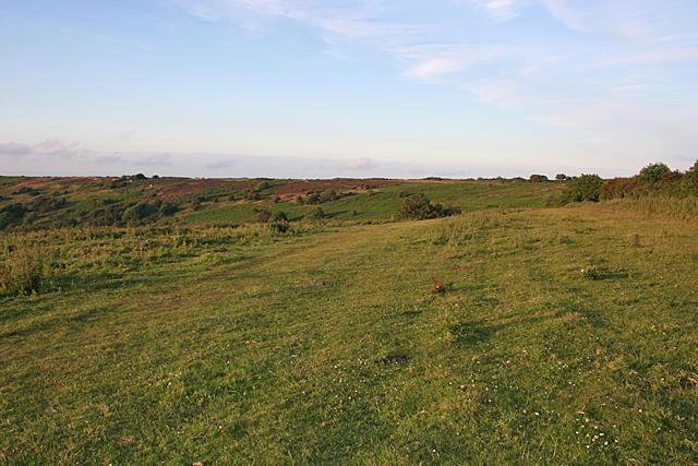 Photo could not load
SZ5678 : Luccombe Down
Anne Burgess
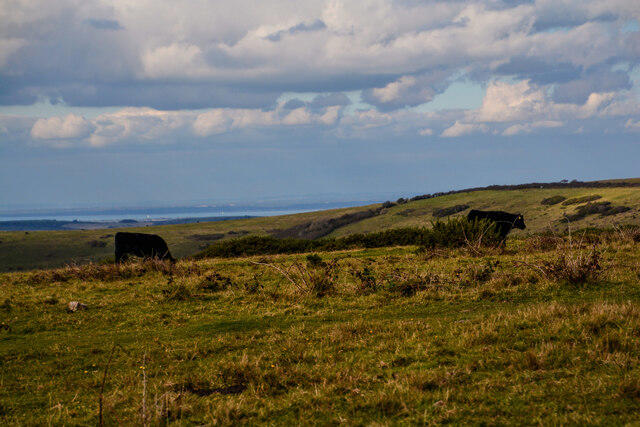 Photo could not load
SZ5678 : Ventnor : Wroxall Down
Lewis Clarke
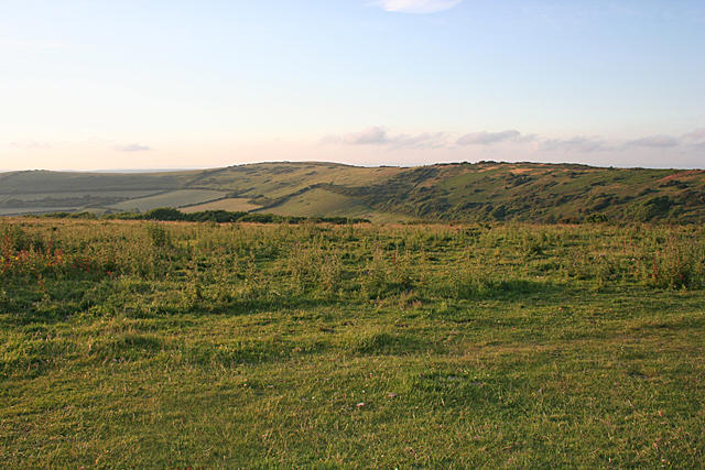 Photo could not load
SZ5678 : Luccombe Down
Anne Burgess
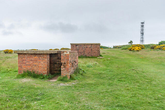 Photo could not load
SZ5678 : Cable pillar and small arms locker
Ian Capper
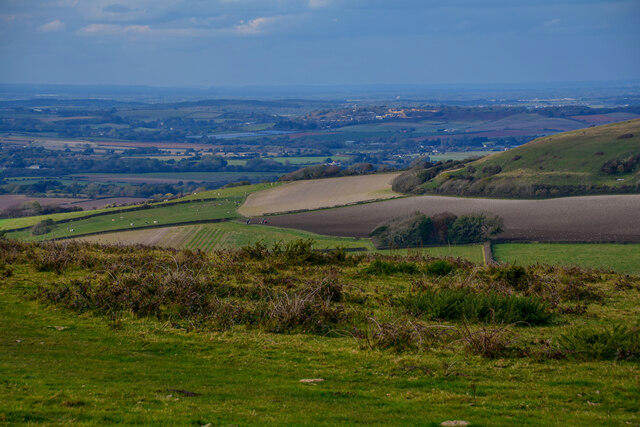 Photo could not load
SZ5678 : Ventnor : Wroxall Down
Lewis Clarke
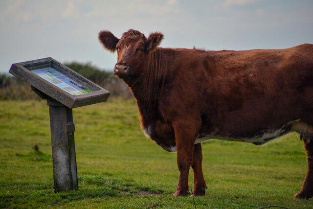 Photo could not load
SZ5678 : Ventnor : Wroxall Down
Lewis Clarke
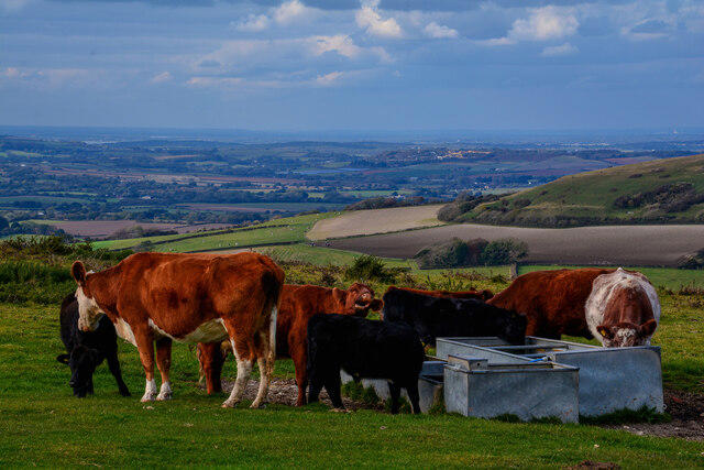 Photo could not load
SZ5678 : Ventnor : Wroxall Down
Lewis Clarke
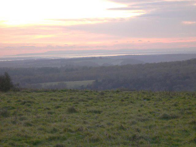 Photo could not load
SZ5678 : Profile of the Isle of Wight seen from Telegraph Hill
Shazz
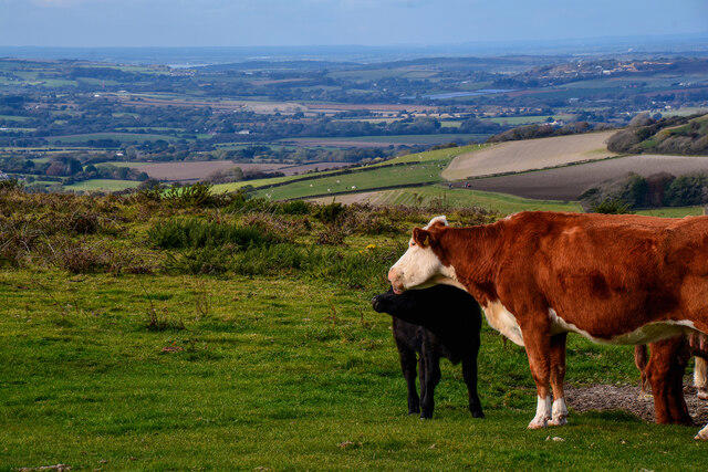 Photo could not load
SZ5678 : Ventnor : Wroxall Down
Lewis Clarke
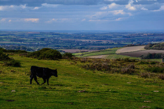
SZ5678 : Ventnor : Wroxall Down
Lewis Clarke
Hill facts and local notes
Classifications
Elevation
242m
794 ft
Prominence
242m
Coordinates
50.6036, -1.1976
SZ568785
OS Map
196
Explorer: OL29E
At the Summit
DoBIH records 242 m at unmarked natural ground inside the outer security fence, SZ 56881 78520. The higher bank within the compound is artificial; ground near the car park farther east is slightly lower. Public perimeter paths do not reach this exact summit. Do not climb or enter the fenced compound without permission.
Terrain & Geology
St Boniface Down belongs to the chalk hills above Ventnor on the southern Isle of Wight. BGS documents Lower Chalk exposures on its slopes within the island’s Cretaceous succession. Chalk grassland, scrub and holm oak woodland occur across the down; the surrounding landscape also includes more acidic upland vegetation.
Views & Scenery
Public paths on the downs overlook Ventnor and the English Channel, with views towards Sandown Bay and other Isle of Wight downs from different parts of the circuit. Visibility depends on weather and the viewpoint; the exact fenced high point is not a public viewing platform.
History & Heritage
Name Origin
The down is named for the eighth-century missionary St Boniface. A tradition links him with preaching at Pulpit Rock in Bonchurch; the National Trust presents this as belief rather than an established visit.
Historical Significance
The hill contains the former RAF Ventnor radar site, important during the Battle of Britain and D-Day operations. Historic England records selection of the site in 1937 and construction in 1938–39. Surviving receiver buildings, tower bases and defences are listed; designation does not imply public access inside the compound.
Getting There & Facilities
Parking
For the described circuit use Ventnor Downs National Trust car park at SZ565784, off steep, single-track Down Lane in Upper Ventnor, before the fenced radar station. The nearest postcode given by the Trust is PO38 1YL. It lists free parking along Down Lane; check local signs and leave gateways clear.
Public Transport
Southern Vectis service 3 links Newport and Ryde via Ventnor, Shanklin and Sandown. Use the Upper Ventnor area for the approach to Down Lane and check the current stop and return timetable; walking up to the car-park start adds distance. As checked on 18 October 2026, the operator’s notice dated 15 October says the Chimney Steps stop towards Newport is temporarily closed, with Bonchurch Shute the alternative. This is separate from the Upper Ventnor approach.
Nearby Facilities
The National Trust identifies toilets, cafés, shops and other refreshments in Ventnor rather than at the hilltop car park. Bring water for the steep circuit and allow for the descent into town if you need facilities.
Safety Information
Known Hazards
- The exact natural high point is inside the outer security fence. Stay on lawful public paths and do not climb fences or enter the radar compound without permission.
- The full circuit has very steep slopes and many steps; wet paths and winter mud are slippery. Exposed downs can be windy or cloud-covered.
- Keep dogs on leads around livestock and wildlife and follow ground-nesting bird signs. Shut the goat gates properly.
- The National Trust advises against trying to reach St Boniface Well because the steep, overgrown slope is difficult to access.
- Down Lane is steep and single-track; watch for vehicles. Take care where the route joins streets and crosses entrances.
General Safety Tips
- Check weather conditions before setting out
- Carry appropriate clothing and equipment
- Let someone know your planned route
- Take a map, compass, and GPS device
- Carry emergency supplies: food, water, first aid kit, torch
Hills
Some common questions about the hills answered
Are there group walks up St Boniface Down?
Many walkers use Walkmates to join or organise walks with others. You can check for group walks around St Boniface Down through the maps
Are there other walkers around St Boniface Down?
Activity varies by location and time, but Walkmates lets you see whether others have shared walks or shown interest in this area. Find other people through the walking friends search walking friends for St Boniface Down search or of course create your own walk for St Boniface Down
Can I organise a walk to St Boniface Down?
Yes. If there aren’t any walks listed already, you can create a walk and make it available for others to join.
If you're signed up to Walkmates, you can create a walk to St Boniface Down.
How do I find a walk up this hill?
There are often multiple ways to walk this hill, depending on experience and route preference. Walkmates helps you explore walks and routes that others have shared.
Can I suggest a new route up St Boniface Down?
Yes. You can suggest or create routes to share with others. Walkmates focuses on the social side of walking, so routes are used to help people organise walks and explore areas together, rather than as detailed navigation tools or route libraries.
Other uses really appreciate knowledgeable walkers sharing their routes. Share your favourite route to St Boniface Down here
The is an error or something incorrect about this hill. How do I let you know?
We always strive to keep the information on Walkmates as accurate as possible. If you find an error, please let us know through the contact form and we'll aim to correct it as quickly as possible
Community Discussion
Comments
Location
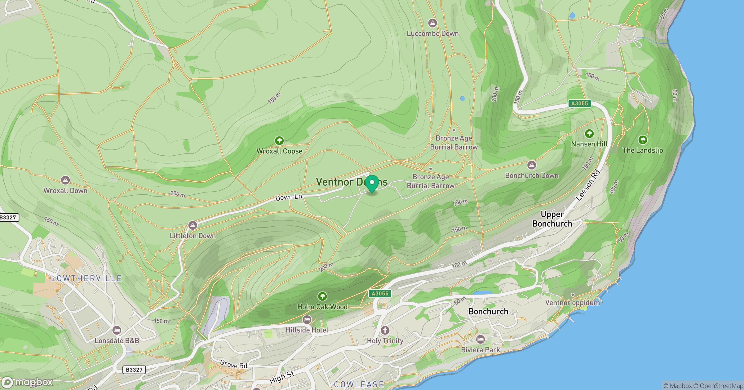
Grid reference: SZ568785
View on OpenStreetMapOpens a map in a new tab, centred on the hill.
Nearby Hills
Leith Hill
294m
Ditchling Beacon
248m
Glastonbury Tor
158m
Worcestershire Beacon
425m
Titterstone Clee Hill
533m
No comments yet. Be the first.