

Arreton Down
Good walks are even better shared.
Overview
Arreton Down
Overview
Arreton Down is a delightful Marilyn located in the picturesque Isle of Wight, providing hikers with a fun jaunt amidst nature. Standing at 193 meters, it may not reach the heights of its more famous counterparts, but this hill packs a punch in terms of scenic beauty and walking options.
Geology
The geology of Arreton Down is predominantly chalk and flint, which together create unique habitats that support a variety of plants and wildlife. Keep your eyes peeled for some interesting fossils if you fancy a bit of rock-picking along the way!
Routes
The most popular route to the summit is the Arreton Down Circular Walk, which offers a moderately challenging pathway for those eager to explore. At 5.5 km long, this circular route is manageable and offers ample opportunity to soak in the views without overdoing it.
Summit Features
On reaching the summit, adventurers are greeted with a trig point, a true landmark of many British walks. There's also a handy bench to rest upon while you indulge in a celebratory snack (always packed, right?).
Terrain
The terrain is predominantly grassy, sprinkled with some chalky patches that could cause a slip or two if you’re not careful. Don’t underestimate that tricky bit of greenery!
Views
From the summit, the views are simply breathtaking. The English Channel sparkles below, while the rolling hills of the Isle of Wight stretch out in all directions. The best times to capture this beauty are during spring and autumn, when the landscape is particularly vibrant.
Hazards
While hiking on Arreton Down, be wary of some muddy patches, especially after those cheeky downpours. The slopes can also be steep, so a watchful eye on your footing is always wise.
Nearby Summits
If you fancy a little more walking, head over to Carisbrooke Castle, a mere 92 meters above sea level. Perfect for adding a touch of history to your adventure!
Access
Accessing Arreton Down is straightforward. There’s parking available in Arreton village, and local buses run regularly from Newport, making this hill easy to reach without a car.
Facilities
Take advantage of the local hospitality by visiting The White Lion pub for a well-deserved pint and some toilet facilities post-hike. A couple of small shops are also handy for a quick snack before setting off.
History
The name 'Arreton' conveys its Old English root meaning 'river valley farm', giving a nod to its agricultural history. In the past, the Down was largely used for farming and grazing, but today it’s a hotspot for walkers and outdoorsy types looking to get some fresh air.
Happy hiking and don’t forget to pack your sense of adventure!
Explore routes near Arreton Down
Public walks starting within 80 km of this hill. Nearby does not mean a route reaches the summit; check its map and access before setting out.
Ventnor Downs Dakota Crash Memorial Circuit
View route
Port Solent Walk with Men Walking & Talking
View route
Havant Walk with Men Walking & Talking
View route
Wilverley Inclosure Walk, New Forest
View route
Route planning notes
These notes describe possible approaches, not verified navigable routes or permission to cross land. Check current paths, local access rules and conditions before setting out.
Arreton Down Circular Walk
A scenic circular route that starts from the charming village of Arreton. This walk showcases rolling hills and panoramic views of the surrounding countryside.
Make a day of it, together
Find someone to share the walk with, or organise a day out along a route you like.
Photo Gallery
View all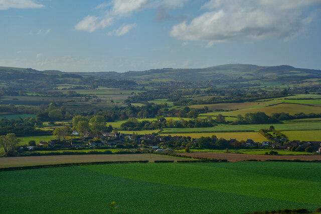 Photo could not load
SZ5487 : Arreton : Countryside Scenery
Lewis Clarke
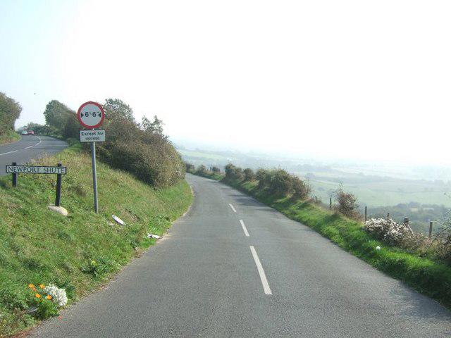 Photo could not load
SZ5487 : Newport Shute
Martyn Davies
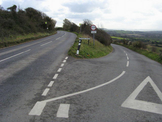 Photo could not load
SZ5487 : Newport Shute
Shaun Ferguson
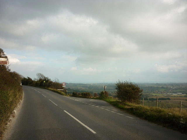 Photo could not load
SZ5487 : A road junction on Arreton Down
Ian S
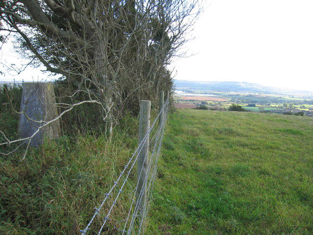 Photo could not load
SZ5487 : Arreton Down
Rude Health
Hill facts and local notes
Classifications
Elevation
135m
443 ft
Prominence
108m
Coordinates
50.6821, -1.2263
SZ547872
OS Map
196
Explorer: OL29E
At the Summit
At the summit, you'll find a prominent trig point along with a small wooden bench, perfect for catching your breath and enjoying the view.
Terrain & Geology
Arreton Down is predominantly composed of chalk and flint, typical of the geology found in the southern coastal regions of England. This type of geology contributes to the area's unique biodiversity and stunning landscapes.
Views & Scenery
From the summit, enjoy sweeping views of the English Channel and the picturesque landscapes of the Isle of Wight. On a clear day, you might even catch a glimpse of the mainland.
History & Heritage
Name Origin
The name 'Arreton' is derived from Old English, meaning 'river valley farm'.
Historical Significance
Historically, Arreton Down was used for farming and grazing, and it is now a popular area for walking and outdoor activities.
Getting There & Facilities
Check current local access restrictions, parking rules and transport timetables before travelling. These notes do not confirm public access to the summit.
Parking
There is a small car park at the entrance to Arreton village, just a short walk from the start of the route.
Public Transport
Regular bus services connect Arreton with Newport and other towns on the Isle of Wight.
Nearby Facilities
Arreton village boasts a lovely pub, The White Lion, and a few small shops for refreshments. Toilets can be found in the pub or at nearby facilities.
Safety Information
Known Hazards
- Occasional muddy patches after heavy rain, and steep slopes, so watch your footing!
General Safety Tips
- Check weather conditions before setting out
- Carry appropriate clothing and equipment
- Let someone know your planned route
- Take a map, compass, and GPS device
- Carry emergency supplies: food, water, first aid kit, torch
Hills
Some common questions about the hills answered
Are there group walks up Arreton Down?
Many walkers use Walkmates to join or organise walks with others. You can check for group walks around Arreton Down through the maps
Are there other walkers around Arreton Down?
Activity varies by location and time, but Walkmates lets you see whether others have shared walks or shown interest in this area. Find other people through the walking friends search walking friends for Arreton Down search or of course create your own walk for Arreton Down
Can I organise a walk to Arreton Down?
Yes. If there aren’t any walks listed already, you can create a walk and make it available for others to join.
If you're signed up to Walkmates, you can create a walk to Arreton Down.
How do I find a walk up this hill?
There are often multiple ways to walk this hill, depending on experience and route preference. Walkmates helps you explore walks and routes that others have shared.
Can I suggest a new route up Arreton Down?
Yes. You can suggest or create routes to share with others. Walkmates focuses on the social side of walking, so routes are used to help people organise walks and explore areas together, rather than as detailed navigation tools or route libraries.
Other uses really appreciate knowledgeable walkers sharing their routes. Share your favourite route to Arreton Down here
The is an error or something incorrect about this hill. How do I let you know?
We always strive to keep the information on Walkmates as accurate as possible. If you find an error, please let us know through the contact form and we'll aim to correct it as quickly as possible
Community Discussion
Comments
Location
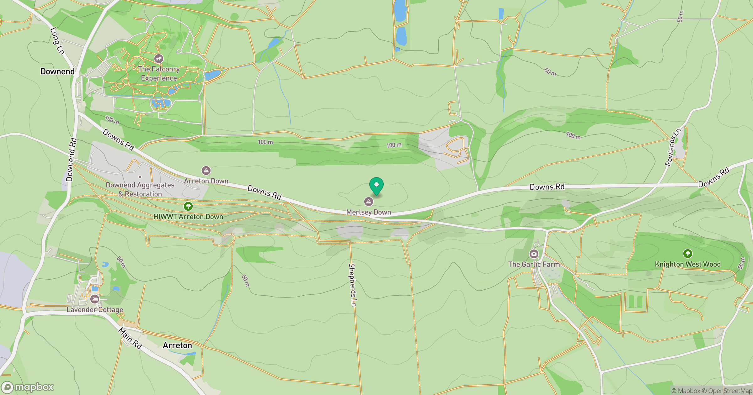
Grid reference: SZ547872
View on OpenStreetMapOpens a map in a new tab, centred on the hill.
Hills within 30 km
Straight-line distance, not a walking route or confirmation of access.
No comments yet. Be the first.