

Brighstone Down
Good walks are even better shared.
SZ4384 : Brighstone Down
Rude Health Photo source
Explore routes near Brighstone Down
Walks starting near this hill. Open a route to check its map, distance and full itinerary.
Ventnor Downs Dakota Crash Memorial Circuit
View route
Wilverley Inclosure Walk, New Forest
View route
Hinton Ampner: Dutton Estate Woodland and Downland Circuit
View route
Durdle Door coastal walk
View route
Route planning notes
These notes describe possible approaches. Check a route's map and access information when planning your walk.
Brighstone to the Summit
A gentle ascent from the village of Brighstone along well-marked paths through beautiful countryside.
Coastal Path Circuit
A more challenging loop that offers stunning views of the coastline and the surrounding downs.
Make a day of it, together
Find someone to share the walk with, or organise a day out along a route you like.
Photo Gallery
View all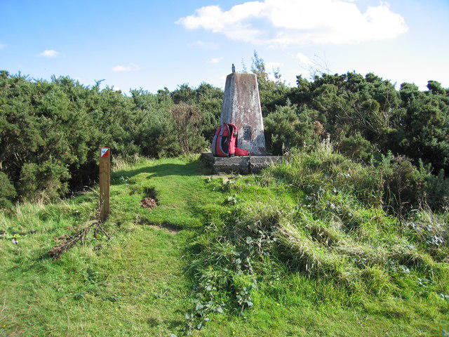 Photo could not load
SZ4384 : Brighstone Down
Rude Health
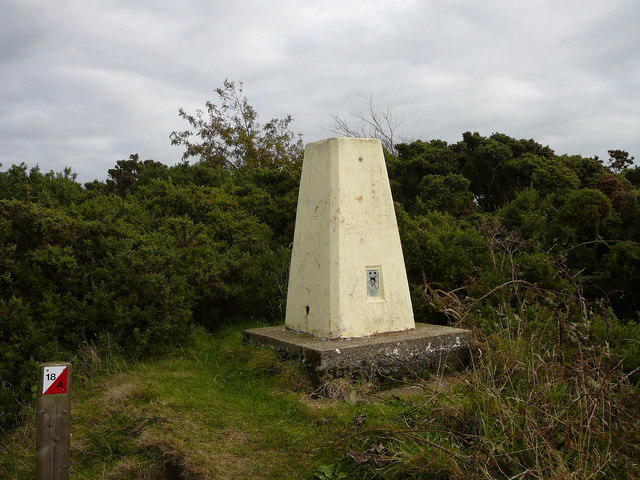 Photo could not load
SZ4384 : Trig point in Brighstone Forest
Colin Park
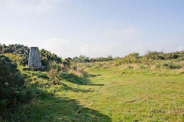 Photo could not load
SZ4384 : Triangulation Pillar on Brighstone Down
Peter Facey
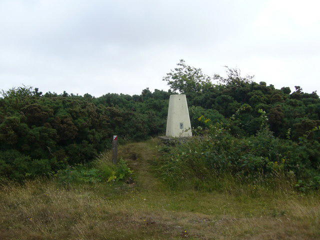 Photo could not load
SZ4384 : Brighstone Down trig
Iain Macaulay
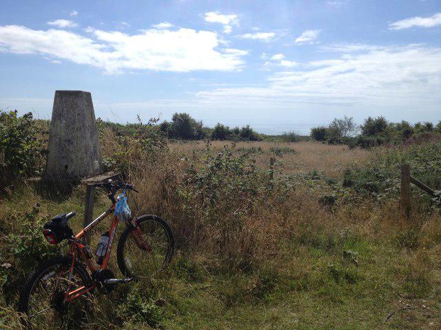 Photo could not load
SZ4384 : Brighstone Down TP1627
Malcolm Campbell
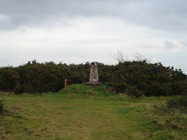 Photo could not load
SZ4384 : The trig point on Brighstone Down
Michael Earnshaw
Hill facts and local notes
Classifications
Elevation
214m
701 ft
Prominence
151m
Coordinates
50.6606, -1.3896
SZ432847
OS Map
196
Explorer: OL29W
At the Summit
The summit is marked by a grassy, flat area with panoramic views and the remnants of World War II defensive structures, adding a layer of history to your visit.
Terrain & Geology
Brighstone Down is primarily composed of chalk and flint, typical of the South Downs geology. The chalk grassland supports a rich diversity of flora and fauna, making it a hotspot for the naturalist.
Views & Scenery
Dazzling views extend from the Solent to the mainland, including the Needles and the distant hills of the New Forest.
History & Heritage
Name Origin
The name 'Brighstone' derives from the Old English word meaning 'bright stone'.
Historical Significance
Historically, Brighstone and its downs have been used for agriculture and grazing for centuries, playing a significant role in the island's rural economy.
Getting There & Facilities
Parking
Brighstone Village car park is conveniently located near the starting point of the trails.
Public Transport
Regular buses connect to Brighstone from Newport; check Southern Vectis for schedules.
Nearby Facilities
The village has a local shop and a café, ideal for a pre-hike snack or a post-hike treat.
Safety Information
Known Hazards
- Be cautious of sudden weather changes, as the weather can shift rapidly in this area. Keep an eye on your footing in muddy or uneven areas.
General Safety Tips
- Check weather conditions before setting out
- Carry appropriate clothing and equipment
- Let someone know your planned route
- Take a map, compass, and GPS device
- Carry emergency supplies: food, water, first aid kit, torch
Hills
Some common questions about the hills answered
Are there group walks up Brighstone Down?
Many walkers use Walkmates to join or organise walks with others. You can check for group walks around Brighstone Down through the maps
Are there other walkers around Brighstone Down?
Activity varies by location and time, but Walkmates lets you see whether others have shared walks or shown interest in this area. Find other people through the walking friends search walking friends for Brighstone Down search or of course create your own walk for Brighstone Down
Can I organise a walk to Brighstone Down?
Yes. If there aren’t any walks listed already, you can create a walk and make it available for others to join.
If you're signed up to Walkmates, you can create a walk to Brighstone Down.
How do I find a walk up this hill?
There are often multiple ways to walk this hill, depending on experience and route preference. Walkmates helps you explore walks and routes that others have shared.
Can I suggest a new route up Brighstone Down?
Yes. You can suggest or create routes to share with others. Walkmates focuses on the social side of walking, so routes are used to help people organise walks and explore areas together, rather than as detailed navigation tools or route libraries.
Other uses really appreciate knowledgeable walkers sharing their routes. Share your favourite route to Brighstone Down here
The is an error or something incorrect about this hill. How do I let you know?
We always strive to keep the information on Walkmates as accurate as possible. If you find an error, please let us know through the contact form and we'll aim to correct it as quickly as possible
Community Discussion
Comments
Location
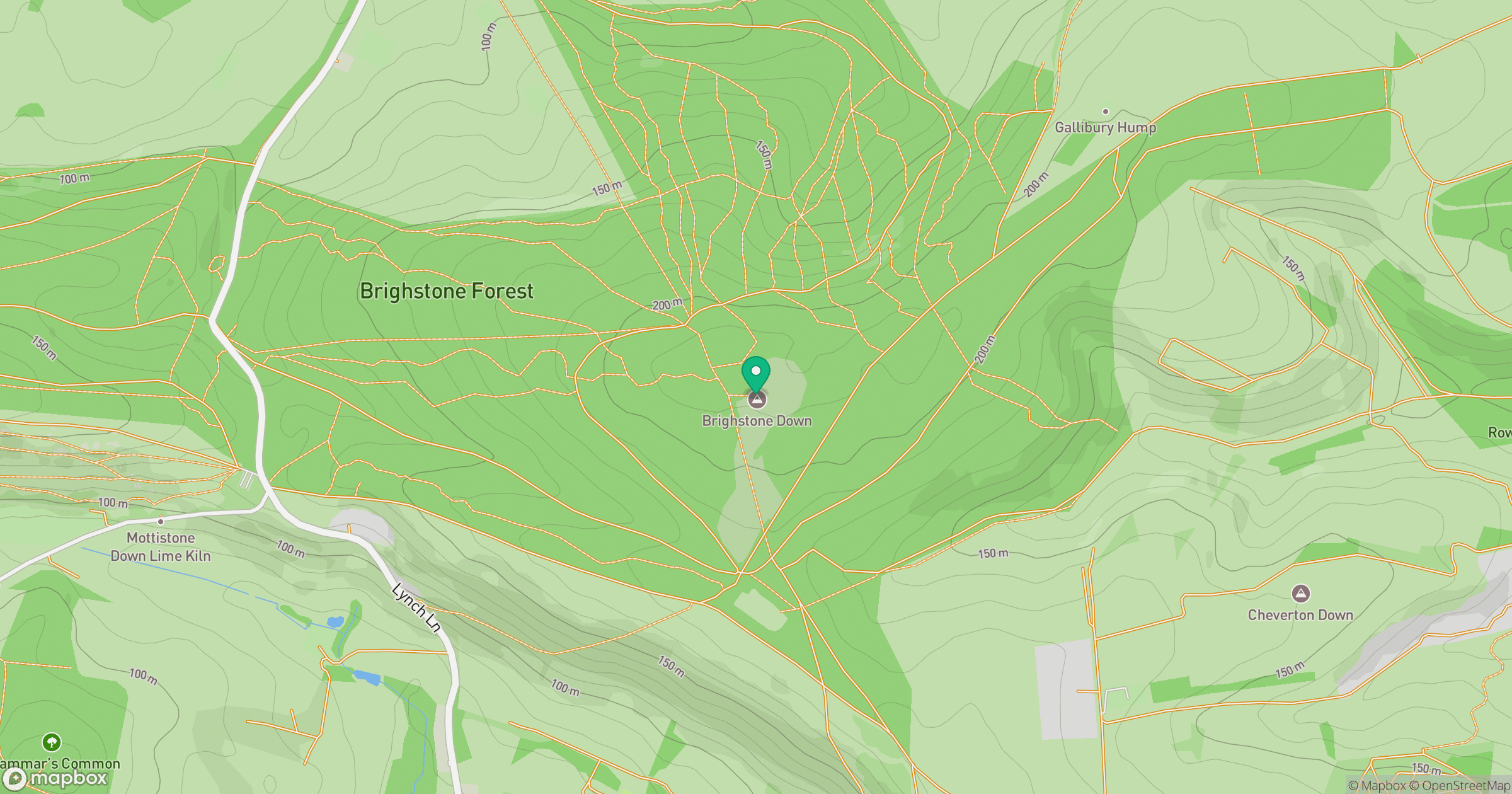
Grid reference: SZ432847
View on OpenStreetMapOpens a map in a new tab, centred on the hill.
Nearby Hills
Leith Hill
294m
Ditchling Beacon
248m
Glastonbury Tor
158m
Worcestershire Beacon
425m
Titterstone Clee Hill
533m
No comments yet. Be the first.