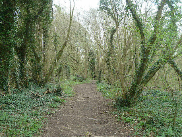
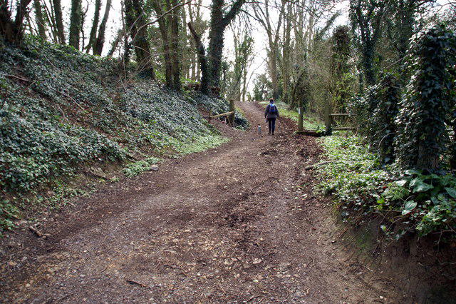
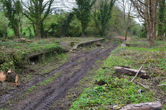
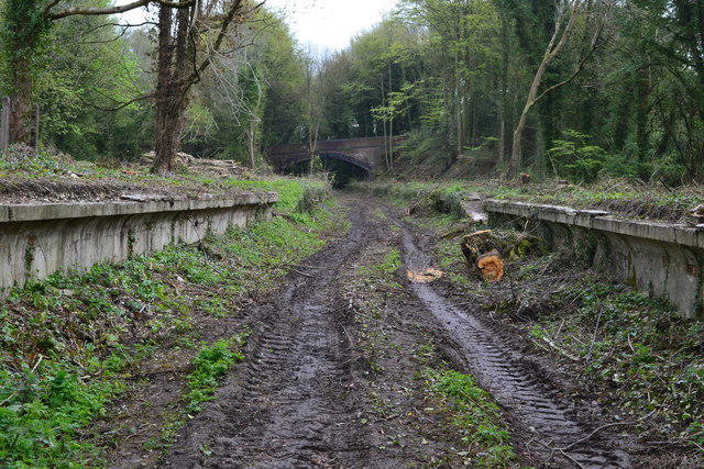
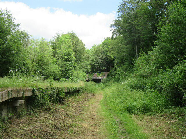
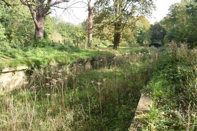
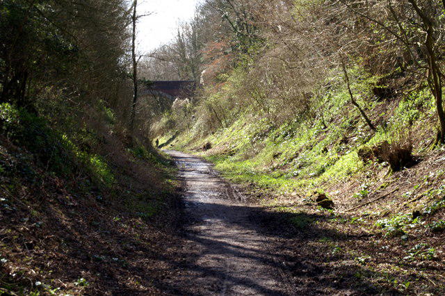
Follow the old railway corridor through the Meon Valley, from the former station at West Meon to Wickham. This long, mostly gentle walk alternates sheltered cuttings and trees with views over the valley’s fields, using an established trail shared with cyclists and horse riders. The surfaces are generally broad but can be muddy or uneven after rain. Finish at Wickham Station car park, close to the village, and arrange your return before setting off. The route ends at Wickham and does not include the old trail extension towards Knowle.
Start and parking: Begin on the track bend at West Meon Station / Meon Valley Trail car park, off Station Road, GU32 1JJ, at 51.0089406, -1.0855825. Follow the gravel access track southwest onto the railway trail. Finish at the northern access of Wickham Station car park, Mill Lane, PO17 5HY. Exact West Meon parking terms and gate hours were not verified. Winchester Council listed Wickham Station parking as free when checked; verify signs before parking.
Route and conditions: Stay on the established former-railway corridor through the Warnford, Meonstoke, Droxford and Soberton areas. Use the actual trail bridges and signed Wickham station-car-park exit; no private station buildings or gardens are included. Surfaces include gravel, compacted ground and dirt, with puddles, mud and wet leaves after rain. The old leaflet describes no stiles, but gates, barriers and works may affect access. No blanket wheelchair suitability is claimed.
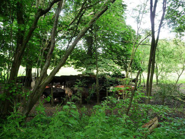
Share the trail considerately with cyclists and horses. Check traffic at roads and car parks. Dogs are allowed; keep them under close control and use a lead around livestock, horses and other visitors. Take waste away. Public toilets are listed separately on Station Road in Wickham, but current hours were not confirmed. No West Meon trailhead toilet is promised.
Finish at Wickham: This walk excludes the old leaflet’s optional continuation towards Knowle. A 2024 parish report recorded a bridge closure around 1.5 km south of Wickham; its current condition has not been certified and that reach is outside this route.
Distance and return: The station-car-park to station-car-park line measures 14.634 km. Published whole-trail figures vary with endpoints and optional extensions, so this listing uses the measured line. Allow about 4 hours walking plus breaks. Arrange one-way collection or independently checked transport; no direct bus connection is promised. Walking back would make about 29.3 km.
Access check: No selected-reach closure was found on the official operator page or targeted official notices checked on 22 October 2026; the operator page was rechecked on 23 October. An optional Hampshire closure-map data request returned HTTP 403, so no comprehensive spatial closure clearance is claimed. Recheck Hampshire notices and obey on-site restrictions. This is desk research, not a field inspection.
Route and visitor sources:
https://www.hants.gov.uk/thingstodo/countryside/finder/meonvalleytrail
https://documents.hants.gov.uk/countryside/South-Downs-Leaflet-Meon-Valley.pdf
https://www.visit-hampshire.co.uk/ideas-and-inspiration/blog/read/2026/08/top-autumn-walks-in-hampshire-b133
https://www.stnicholaswickham.org.uk/wp-content/uploads/2024/09/WPM-2024-10_Compressed.pdf
https://www.winchester.gov.uk/parking/parking-and-car-parks/
https://www.winchester.gov.uk/community/public-toilets/
https://ldwa.org.uk/ldp/members/show_path.php?menu_type=S&path_name=Meon+Valley+Trail
https://www.hants.gov.uk/community/publicnotices
Route geometry: © OpenStreetMap contributors, licensed under ODbL 1.0. https://www.openstreetmap.org/copyright
https://opendatacommons.org/licenses/odbl/1-0/
Original listing prose; geometry is an exact original-node itinerary.