

Bembridge Down
Good walks are even better shared.
Overview
Bembridge Down
Overview
Bembridge Down, located on the Isle of Wight, rises to a height of 110 meters (362 feet), and is classified as a Marilyn due to its prominence. It is a splendid destination that encapsulates natural beauty and local charm.
Geology
The landscape here is fashioned from chalk and flint, remnants of the Late Cretaceous period, creating a striking environment that supports diverse wildlife and colourful flora. If you’re on the lookout for a country walk that doubles as a geology lesson, you’ve hit the proverbial jackpot!
Routes
Bembridge Down Loop
This moderate circular route is approximately 4.5 km long and takes around 1.5 hours. It meanders through the woodlands and up to the ridge, offering splendid views and a good workout. Be sure to take your camera, as every turn brings a new perspective.
Summit Features
Upon reaching the summit, you’ll find a spacious plateau that’s perfect for a picnic. A trig point marks the highest point, a great spot for a selfie against the stunning backdrop of the Isle of Wight.
Terrain
The terrain is largely grassy and well-maintained, with some rocky areas that add a bit of character. The paths are suitable for walkers of all abilities, but do watch your step in slippery conditions!
Views
The vistas from Bembridge Down are nothing short of spectacular. On a clear day, the mainland is visible to the north, while the Solent sparkles below. The best times to enjoy these views are during late spring and summer when the flowers are blooming and the skies are often clear.
Hazards
Be prepared for unpredictable weather—very British, I know! Wet conditions can make the pathways slippery, so good hiking boots are a must!
Nearby Summits
For those looking to stretch their legs even further, consider St. Boniface Down, which towers over Bembridge at 189 meters. It’s a real contender if you wish to expand your hiking adventure.
Access
There is a small parking area at the southern end of the Down, with public transport options available from Ryde. The short walk from the bus stop makes it accessible without the need for a car.
Facilities
After a good hike, pop into Bembridge for some refreshments. The village has a range of cafés and essential facilities to cater to hungry hikers.
History
The name 'Bembridge' has roots in Old English, hinting at the area's historical significance as a crossing point. This heritage adds a sense of depth to your walk—after all, you’re trekking over land rich with stories.
Enjoy your time at Bembridge Down, and remember — no matter how tough the trail, a good walk always earns you a biscuit or two!
Explore routes near Bembridge Down
Public walks starting within 80 km of this hill. Nearby does not mean a route reaches the summit; check its map and access before setting out.
Ventnor Downs Dakota Crash Memorial Circuit
View route
Port Solent Walk with Men Walking & Talking
View route
Havant Walk with Men Walking & Talking
View route
Bognor Regis Walk & Talk
View route
Route planning notes
These notes describe possible approaches, not verified navigable routes or permission to cross land. Check current paths, local access rules and conditions before setting out.
Bembridge Down Loop
A scenic circular route encompassing the upper ridge and surrounding woodlands. The path offers splendid views and a delightful walking experience.
Make a day of it, together
Find someone to share the walk with, or organise a day out along a route you like.
Photo Gallery
View all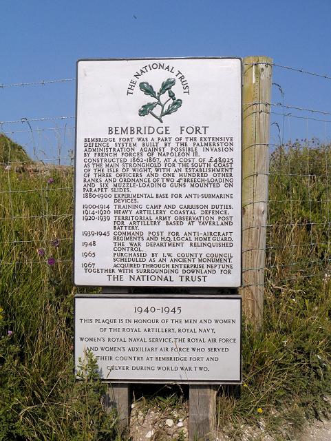 Photo could not load
SZ6286 : Bembridge Fort (National Trust Sign)
David Dixon
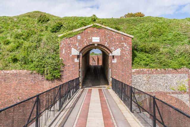 Photo could not load
SZ6286 : Bembridge Fort
Ian Capper
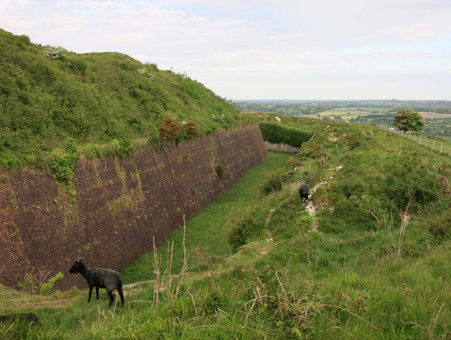 Photo could not load
SZ6286 : Bembridge Fort
Hugh Venables
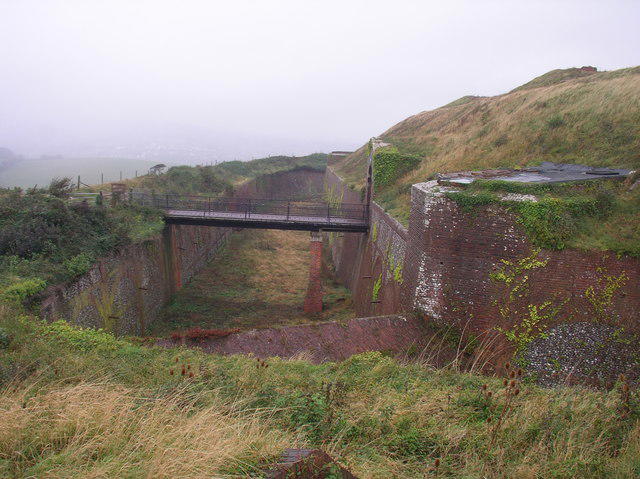 Photo could not load
SZ6286 : Bembridge Fort: moat and entrance bridge
Phil kemp
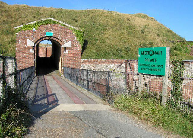 Photo could not load
SZ6286 : Bembridge Down Fort
Rude Health
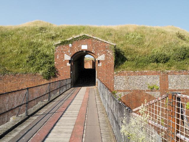 Photo could not load
SZ6286 : Entrance to Bembridge Fort
David Dixon
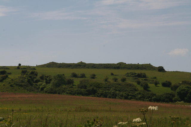 Photo could not load
SZ6286 : Bembridge Fort
Chris
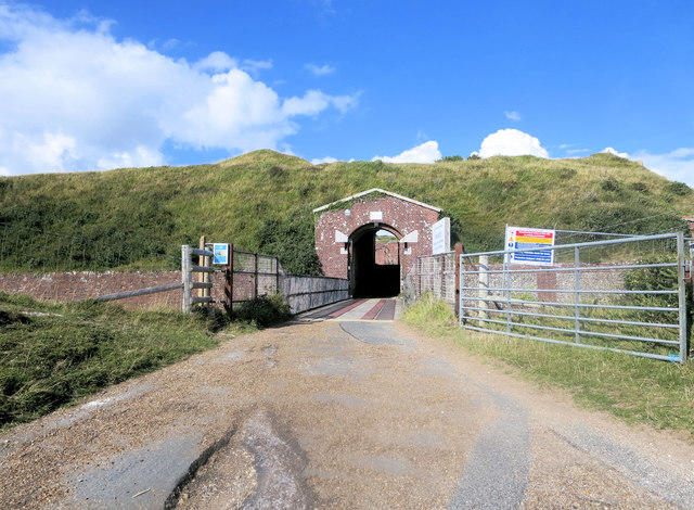 Photo could not load
SZ6286 : Bembridge Fort main entrance
Stuart Logan
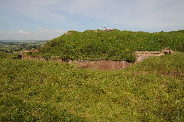 Photo could not load
SZ6286 : Bembridge Fort
Philip Halling
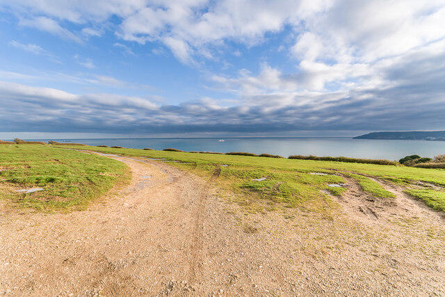
SZ6285 : Bembridge Down
Ian Capper
Hill facts and local notes
Classifications
Elevation
105m
344 ft
Prominence
101m
Coordinates
50.6705, -1.1169
SZ625860
OS Map
196
Explorer: OL29E
At the Summit
At the summit, you will find a large grassy plateau marked by a few benches for weary hikers, and a trig point that serves as a reminder of bygone surveying efforts.
Terrain & Geology
The Down is primarily composed of chalk and flint, which are typical for this part of the Isle of Wight, having been formed during the Late Cretaceous period. This geology not only gives the hill its characteristic appearance but also supports a rich biodiversity including unique flora.
Views & Scenery
From the top, you can gaze out over the Solent and even catch a glimpse of the mainland on a clear day. To the northeast, the view extends across to the picturesque village of Bembridge.
History & Heritage
Name Origin
The name 'Bembridge' is derived from Old English 'Bynna's Bridge', indicating the area’s history as a crossing point over streams.
Historical Significance
Bembridge Down is significant as part of the landscape of the Isle of Wight, providing both natural beauty and a habitat for wildlife.
Getting There & Facilities
Check current local access restrictions, parking rules and transport timetables before travelling. These notes do not confirm public access to the summit.
Parking
There is a small designated parking area at the southern end of Bembridge Down, accommodating approximately 15 vehicles.
Public Transport
Regular bus services operate from Ryde to Bembridge, with a short walk from the bus stop to the starting point of the route.
Nearby Facilities
Cafés and public toilets can be found in the village of Bembridge, about a 5-minute drive from the Down. The Brading Haven Yacht Club is also nearby for a cheeky pint after your hike.
Safety Information
Known Hazards
- Watch out for sudden weather changes, particularly in autumn and winter. The steep slopes can become slippery when wet.
General Safety Tips
- Check weather conditions before setting out
- Carry appropriate clothing and equipment
- Let someone know your planned route
- Take a map, compass, and GPS device
- Carry emergency supplies: food, water, first aid kit, torch
Hills
Some common questions about the hills answered
Are there group walks up Bembridge Down?
Many walkers use Walkmates to join or organise walks with others. You can check for group walks around Bembridge Down through the maps
Are there other walkers around Bembridge Down?
Activity varies by location and time, but Walkmates lets you see whether others have shared walks or shown interest in this area. Find other people through the walking friends search walking friends for Bembridge Down search or of course create your own walk for Bembridge Down
Can I organise a walk to Bembridge Down?
Yes. If there aren’t any walks listed already, you can create a walk and make it available for others to join.
If you're signed up to Walkmates, you can create a walk to Bembridge Down.
How do I find a walk up this hill?
There are often multiple ways to walk this hill, depending on experience and route preference. Walkmates helps you explore walks and routes that others have shared.
Can I suggest a new route up Bembridge Down?
Yes. You can suggest or create routes to share with others. Walkmates focuses on the social side of walking, so routes are used to help people organise walks and explore areas together, rather than as detailed navigation tools or route libraries.
Other uses really appreciate knowledgeable walkers sharing their routes. Share your favourite route to Bembridge Down here
The is an error or something incorrect about this hill. How do I let you know?
We always strive to keep the information on Walkmates as accurate as possible. If you find an error, please let us know through the contact form and we'll aim to correct it as quickly as possible
Community Discussion
Comments
Location
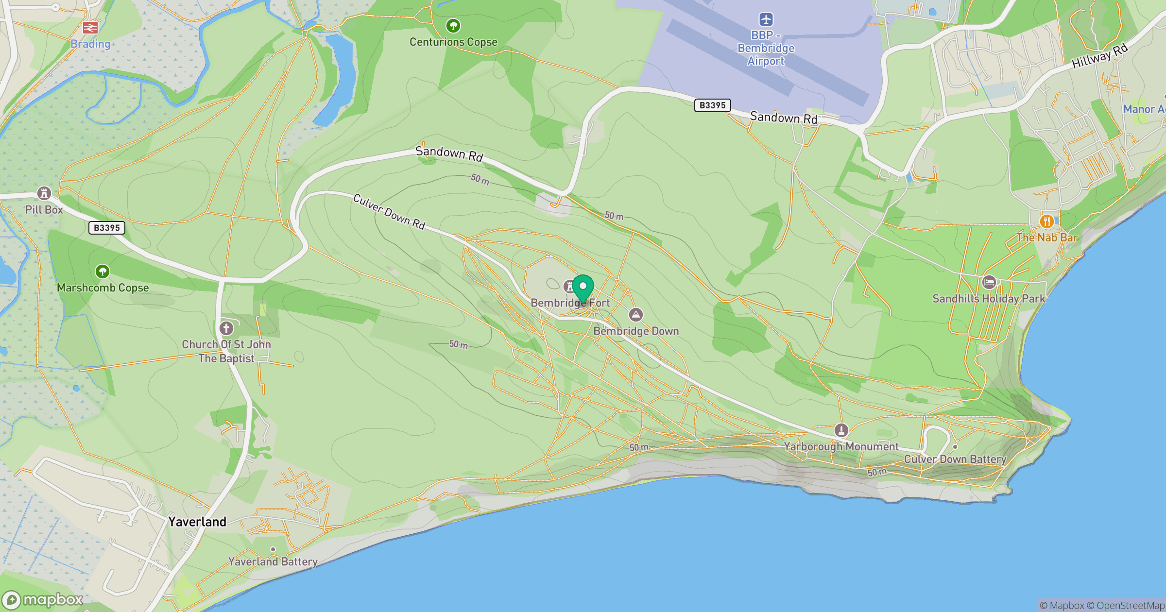
Grid reference: SZ625860
View on OpenStreetMapOpens a map in a new tab, centred on the hill.
Hills within 30 km
Straight-line distance, not a walking route or confirmation of access.
No comments yet. Be the first.