
Ouley Hill
Good walks are even better shared.
Overview
Ouley Hill
Introduction
Ouley Hill stands proudly at 326 meters, making it a prominent stature in the enchanting Shropshire Hills. Known for its stunning landscapes and hearty walks, it offers an expedition that's both invigorating and uniquely British. Bring your best sense of adventure — and perhaps a light snack for the top!
Geology
The geological composition primarily includes sandstone strata, creating dramatic landscapes as one ascends. This area is a geological paradise, and you might just stumble upon a fossil or two if luck is in your favour.
Route Options
- Ouley Hill Circular Walk: A scenic adventure of 4.2 km, primarily moderate in difficulty, perfect for families looking to enjoy the great outdoors.
- Summit Approach from Orchard: This 2.5 km brisk route leads directly to the summit, catering to those who prefer to get straight to the chase, or summit, as it may be.
Summit Features
Upon reaching the summit, you will be greeted by a friendly stone cairn and a trig point, offering a perfect spot for those Instagram selfies amidst the breathtaking views!
Terrain
The hill's terrain is a delightful mix of grassy slopes interspersed with rocky sections, providing both a challenge and a visual feast.
Views
At the top, the panorama stretches over the Long Mynd and beyond, with the most stunning vistas during the spring and autumn months when nature displays its glorious colours. Don’t forget your camera, or you'll regret it when you see others’ photos!
Hazards
Hiking Ouley Hill entails navigating through the odd muddy patch and slippery rocks near the summit, so sturdy boots are advisable. If you think you can wear flip-flops like it’s a summer holiday, think again!
Nearby Summits
Ouley Hill is in good company with nearby peaks such as Caer Caradoc and The Lawley, each offering additional hiking opportunities and views that can dazzle even the most seasoned hiker.
Access
Getting to Ouley Hill is a breeze. The modest parking on the A49 will suffice for several cars, and Church Stretton’s public transport provides easy access for those relying on local services.
Facilities
Post hike, Church Stretton boasts a variety of cafes and pubs, perfect for enjoying a hearty meal or a refreshing drink. It’s a great way to refuel after your hiking exploits!
Conclusion
So, pack your bags, lace up those boots, and ready yourself for adventure at Ouley Hill. Whether you’re hiking solo or with a crowd, there’s nothing quite like the thrill of reaching a summit and soaking in the natural beauty of this remarkable region.
Explore routes near Ouley Hill
Public walks starting within 80 km of this hill. Nearby does not mean a route reaches the summit; check its map and access before setting out.
Lagan Towpath: Shaw's Bridge to Drumbeg Footbridge
View route
Drumbeg to Hilden Bridge: Lagan Towpath, Lambeg and Canal Locks
View route
Comber Greenway: Dee Street to Belfast Road
View route
Belfast street-art walk
View route
Route planning notes
These notes describe possible approaches, not verified navigable routes or permission to cross land. Check current paths, local access rules and conditions before setting out.
Ouley Hill Circular Walk
A scenic circular route that starts from the nearby village and takes you through lush countryside with a gradual ascent to the summit.
Summit Approach from Orchard
A direct route leading from Orchard village to the summit, ideal for those looking for a brisk hike straight to the top.
Make a day of it, together
Find someone to share the walk with, or organise a day out along a route you like.
Hill facts and local notes
Classifications
Elevation
186m
610 ft
Prominence
110m
Coordinates
54.4927, -5.8672
J382625
OS Map
20
At the Summit
The summit features a stone cairn and a small trig point which, if you squint just right, almost looks like it might just be waving back at you.
Terrain & Geology
Ouley Hill primarily consists of sedimentary rock formations punctuated by sandstone outcrops, typical of the region. The varying elevations expose different strata, making it a delight for geologists and amateurs alike.
Views & Scenery
From the summit, you can gaze upon the Long Mynd, the Stretton Hills, and on a clear day, even the Welsh hills in the distance.
History & Heritage
Name Origin
The name 'Ouley' is believed to derive from Old English, meaning 'owl meadow', reflecting the area's natural wildlife.
Historical Significance
Historically, Ouley Hill has been a landmark for local farmers and an inspiration for artists due to its breathtaking views.
Getting There & Facilities
Check current local access restrictions, parking rules and transport timetables before travelling. These notes do not confirm public access to the summit.
Parking
There is a small layby suitable for parking at the base on the A49, with space for a handful of cars.
Public Transport
The nearest bus service runs from Church Stretton; check local timetables for the best service times.
Nearby Facilities
The nearest facilities are found in Church Stretton, which has several cafes, pubs, and public toilets. Perfect for a post-walk pint!
Safety Information
Known Hazards
- Occasional muddy patches, especially after rain, and the risk of slippery rocks near the summit.
General Safety Tips
- Check weather conditions before setting out
- Carry appropriate clothing and equipment
- Let someone know your planned route
- Take a map, compass, and GPS device
- Carry emergency supplies: food, water, first aid kit, torch
Hills
Some common questions about the hills answered
Are there group walks up Ouley Hill?
Many walkers use Walkmates to join or organise walks with others. You can check for group walks around Ouley Hill through the maps
Are there other walkers around Ouley Hill?
Activity varies by location and time, but Walkmates lets you see whether others have shared walks or shown interest in this area. Find other people through the walking friends search walking friends for Ouley Hill search or of course create your own walk for Ouley Hill
Can I organise a walk to Ouley Hill?
Yes. If there aren’t any walks listed already, you can create a walk and make it available for others to join.
If you're signed up to Walkmates, you can create a walk to Ouley Hill.
How do I find a walk up this hill?
There are often multiple ways to walk this hill, depending on experience and route preference. Walkmates helps you explore walks and routes that others have shared.
Can I suggest a new route up Ouley Hill?
Yes. You can suggest or create routes to share with others. Walkmates focuses on the social side of walking, so routes are used to help people organise walks and explore areas together, rather than as detailed navigation tools or route libraries.
Other uses really appreciate knowledgeable walkers sharing their routes. Share your favourite route to Ouley Hill here
The is an error or something incorrect about this hill. How do I let you know?
We always strive to keep the information on Walkmates as accurate as possible. If you find an error, please let us know through the contact form and we'll aim to correct it as quickly as possible
Community Discussion
Comments
Location
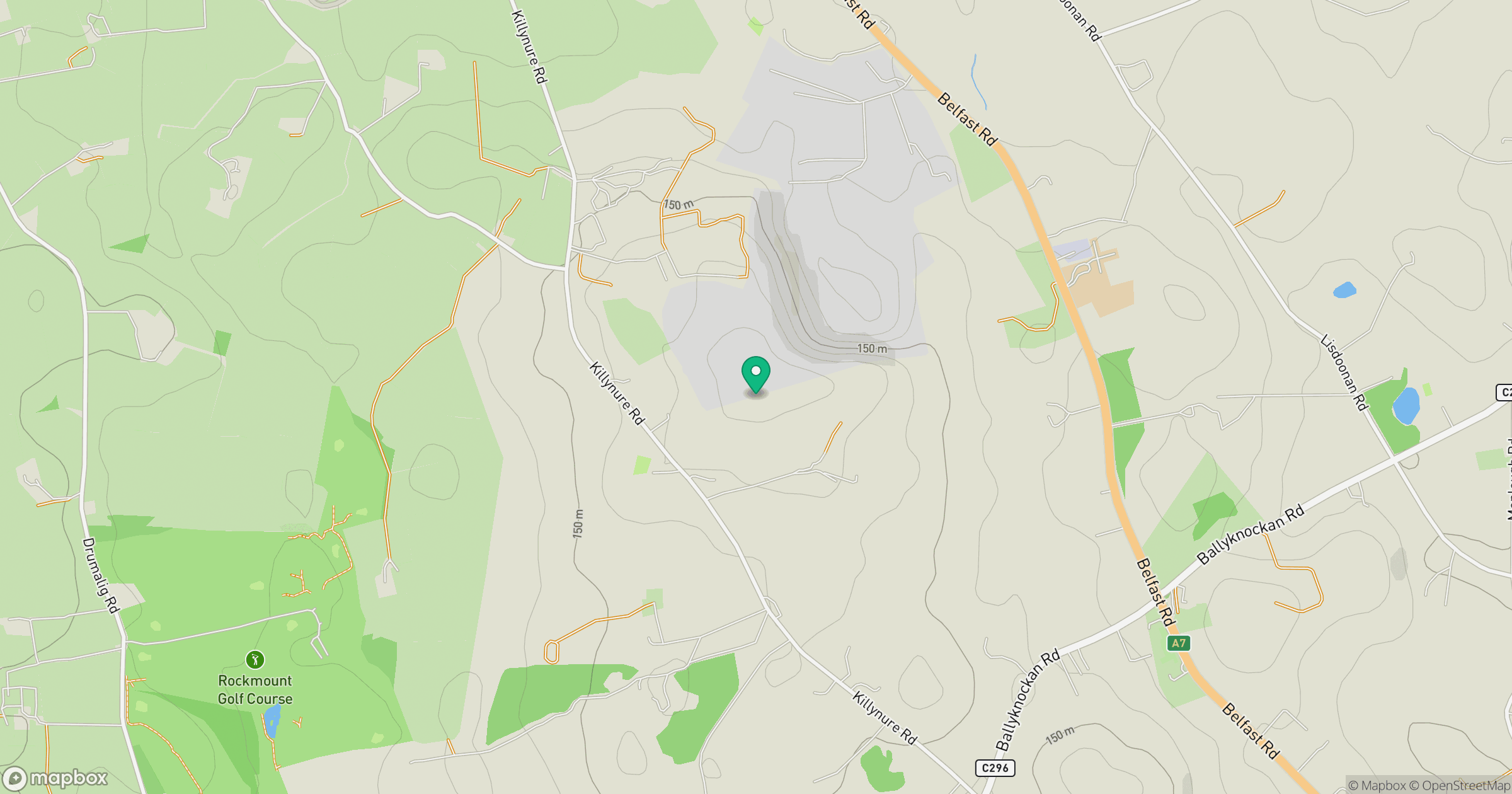
Grid reference: J382625
View on OpenStreetMapOpens a map in a new tab, centred on the hill.
Hills within 30 km
Straight-line distance, not a walking route or confirmation of access.
No comments yet. Be the first.