

Mynydd y Bryn
Good walks are even better shared.
Overview
Mynydd y Bryn: A Charming Welsh Peak
Nestled in the rolling hills of North Wales, Mynydd y Bryn stands proudly at 226 meters, inviting adventurers and nature lovers alike. While it might not be the tallest mountain in the region, it surely offers a unique experience and stunning views that will make you feel on top of the world.
Geology
The geological composition of Mynydd y Bryn is primarily sedimentary sandstone, creating rugged terrain that offers wild beauty. The rocks contribute to an ecosystem replete with interesting flora and fauna. Keep an eye out for local birds and other wildlife as you navigate the pathways.
Routes
Two popular routes lead to the summit, catering to different levels of fitness and experience. The Bryn Celyn Path, a moderate trek, allows you to enjoy the natural scenery and perhaps spot a few sheep (they're the real locals!). For a gentler stroll, the Mynachlog Ddu Approach is perfect for families or those just wanting to stretch their legs without breaking a sweat.
Summit Features
At the summit, you'll find a trig point and a charming cairn. It’s the best spot to capture that elusive summit selfie, which will surely earn you respect on your social media!
Terrain Type
Prepare for a delightful mix of grassy slopes and rocky outcrops. Depending on the season, the trails may present different challenges, so wear your best hiking boots and keep your eyes peeled for those sneaky stones.
Views
The summit offers splendid views of surrounding peaks and valleys. On a clear day, gaze into the distance towards the Snowdonia range. Spring and autumn are the best seasons to experience the breathtaking landscape, when the colours erupt in vibrant displays.
Hazards
As with any mountain adventure, anticipate sudden weather changes. Fog and rain can sweep in faster than a hungry sheep on a picnic blankie. Similarly, be careful of slippery rocks after rainfall to keep your journey safe and enjoyable.
Access
Parking is conveniently available near Llandyrnog, with room for several vehicles. Ensure you’re considerate of local regulations. Public transport options to the area are generally accessible but check local schedules, especially during off-peak seasons.
Facilities
Cafes in Ruthin provide a perfect pit stop after your hike, offering refreshments and a chance to boast about your achievement to fellow hikers.
History
The charming name 'Mynydd y Bryn' translates literally to 'Mountain of the Hill'. While it may sound simple, it speaks to the heart of Welsh culture—unpretentious yet profound. This mountain holds significance for locals and visitors alike, serving as a gateway into the stunning Welsh landscape.
Conclusion
In summary, Mynydd y Bryn may not reach dizzying heights, but it certainly holds its own. With beautiful views, accessible routes, and rich history, it’s a perfect outing for both seasoned adventurers and casual walkers. So grab your hiking boots, pack some snacks, and experience the magic that is Mynydd y Bryn!
Explore routes near Mynydd y Bryn
Public walks starting within 80 km of this hill. Nearby does not mean a route reaches the summit; check its map and access before setting out.
Oswestry Walk with Men Walking & Talking
View route
Llangollen to Horseshoe Falls: Canal Towpath from Market Street
View route
World’s End and back
View route
Welshpool to Sweeps Bridge: Montgomery Canal and Belan Locks
View route
Route planning notes
These notes describe possible approaches, not verified navigable routes or permission to cross land. Check current paths, local access rules and conditions before setting out.
Bryn Celyn Path
A scenic route starting from the village of Llandyrnog, this path winds through beautiful meadows and forested areas before ascending to the summit.
Mynachlog Ddu Approach
This route begins in Mynachlog Ddu, offering a gentle slope and stunning views along the way, perfect for families or casual walkers.
Make a day of it, together
Find someone to share the walk with, or organise a day out along a route you like.
Photo Gallery
View all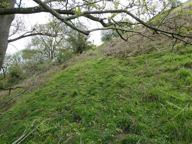 Photo could not load
SJ2127 : Old path line up and down steep hillside
Jeremy Bolwell
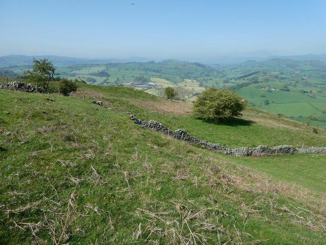 Photo could not load
SJ2126 : View north-westwards from Mynydd y Bryn
Jeremy Bolwell
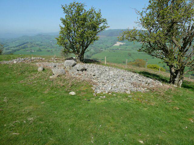 Photo could not load
SJ2126 : Stones on a shoulder of Mynydd y Bryn
Jeremy Bolwell
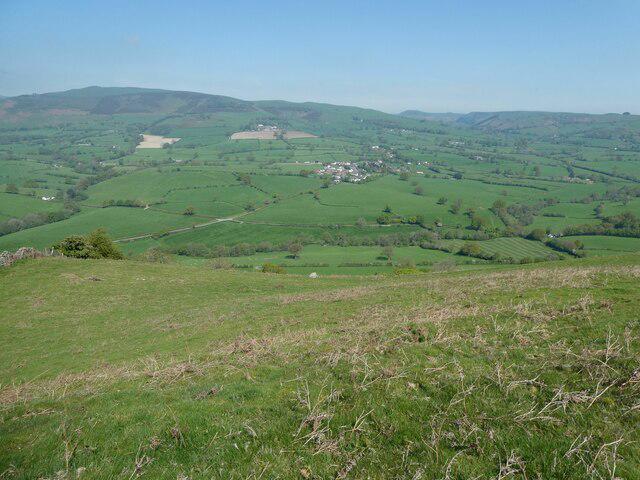 Photo could not load
SJ2126 : Llansilin and the Gyrn from Mynydd y Bryn
Jeremy Bolwell
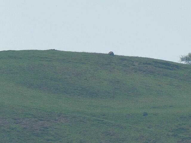 Photo could not load
SJ2126 : Rock on Mynydd y Bryn viewed from Llansilin
Jeremy Bolwell
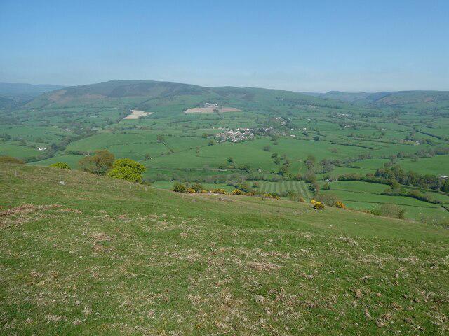 Photo could not load
SJ2126 : Llansilin area viewed from Mynydd y Bryn
Jeremy Bolwell
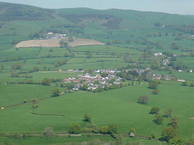 Photo could not load
SJ2126 : Llansilin from Mynydd y Bryn
Jeremy Bolwell
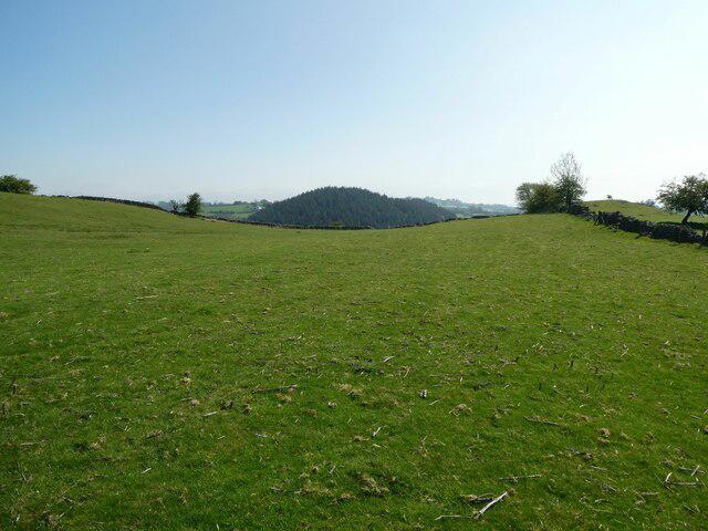 Photo could not load
SJ2126 : View eastward down a sheep pasture near Mynydd y Bryn
Jeremy Bolwell
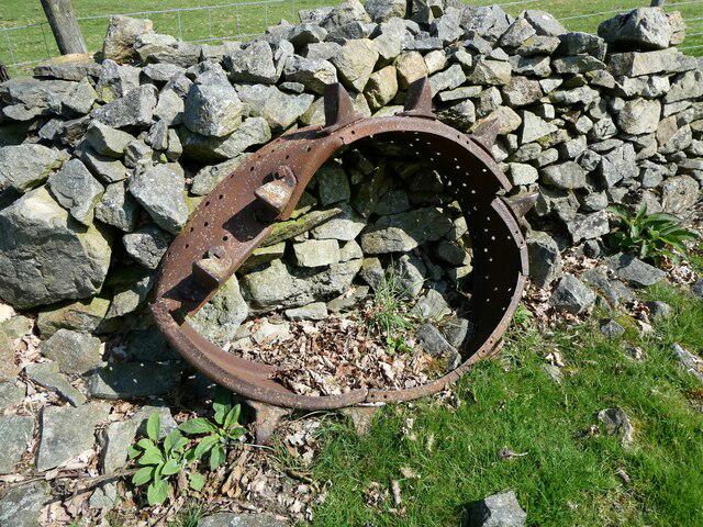 Photo could not load
SJ2126 : Old iron tractor wheel abandoned against a wall
Jeremy Bolwell
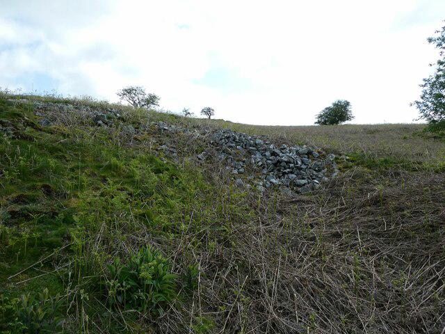
SJ2126 : Nearing the top of Mynydd y Bryn from the north
Jeremy Bolwell
Hill facts and local notes
Classifications
Elevation
335m
1,098 ft
Prominence
126m
Coordinates
52.8336, -3.1635
SJ217268
OS Map
126
Explorer: 240
At the Summit
The summit features a notable trig point and a small stone cairn, perfect for a selfie to prove you made it to the top!
Terrain & Geology
Mynydd y Bryn is primarily composed of sedimentary rocks, specifically sandstone, which contributes to the steep and rugged terrain. This geology also results in unique local flora and fauna adapted to these rocky outcrops.
Views & Scenery
From the summit, enjoy breathtaking views of the surrounding hills, the distant Snowdonia range, and the lush valleys below.
History & Heritage
Name Origin
The name 'Mynydd y Bryn' translates to 'Mountain of the Hill' in Welsh, which is strikingly simple yet fitting for this lovely peak.
Historical Significance
Mynydd y Bryn is a cherished local landmark and is popular among hikers and mountain enthusiasts, offering a taste of the Welsh countryside's beauty.
Getting There & Facilities
Check current local access restrictions, parking rules and transport timetables before travelling. These notes do not confirm public access to the summit.
Parking
There is a small parking area near the village of Llandyrnog with space for approximately 10 vehicles. Please park responsibly.
Public Transport
The nearest bus stop is in Llandyrnog, serviced by local routes that connect to larger towns such as Ruthin.
Nearby Facilities
There are some cafes in Ruthin, and public toilets can be found there as well to ensure you're well-equipped before heading out on your adventure.
Safety Information
Known Hazards
- Watch out for sudden weather changes; the mountain can be prone to fog and rain. Some rocky areas may be slippery when wet.
General Safety Tips
- Check weather conditions before setting out
- Carry appropriate clothing and equipment
- Let someone know your planned route
- Take a map, compass, and GPS device
- Carry emergency supplies: food, water, first aid kit, torch
Hills
Some common questions about the hills answered
Are there group walks up Mynydd y Bryn?
Many walkers use Walkmates to join or organise walks with others. You can check for group walks around Mynydd y Bryn through the maps
Are there other walkers around Mynydd y Bryn?
Activity varies by location and time, but Walkmates lets you see whether others have shared walks or shown interest in this area. Find other people through the walking friends search walking friends for Mynydd y Bryn search or of course create your own walk for Mynydd y Bryn
Can I organise a walk to Mynydd y Bryn?
Yes. If there aren’t any walks listed already, you can create a walk and make it available for others to join.
If you're signed up to Walkmates, you can create a walk to Mynydd y Bryn.
How do I find a walk up this hill?
There are often multiple ways to walk this hill, depending on experience and route preference. Walkmates helps you explore walks and routes that others have shared.
Can I suggest a new route up Mynydd y Bryn?
Yes. You can suggest or create routes to share with others. Walkmates focuses on the social side of walking, so routes are used to help people organise walks and explore areas together, rather than as detailed navigation tools or route libraries.
Other uses really appreciate knowledgeable walkers sharing their routes. Share your favourite route to Mynydd y Bryn here
The is an error or something incorrect about this hill. How do I let you know?
We always strive to keep the information on Walkmates as accurate as possible. If you find an error, please let us know through the contact form and we'll aim to correct it as quickly as possible
Community Discussion
Comments
Location
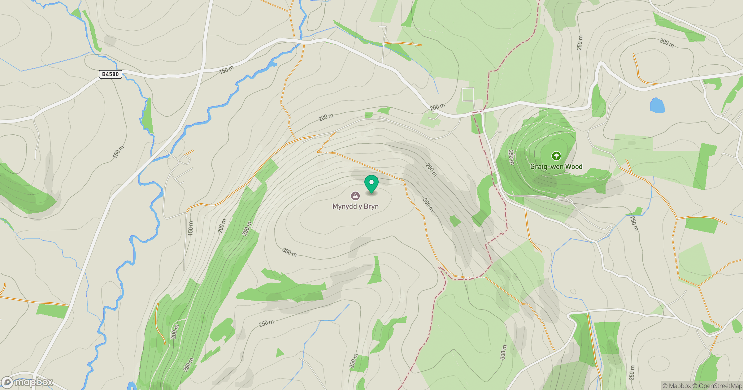
Grid reference: SJ217268
View on OpenStreetMapOpens a map in a new tab, centred on the hill.
Hills within 30 km
Straight-line distance, not a walking route or confirmation of access.
No comments yet. Be the first.