

Moel Tryfan
Good walks are even better shared.
SH5156 : Moel Tryfan
Richard Webb Photo source
Overview
Moel Tryfan
Moel Tryfan is a striking peak located in the stunning landscape of Snowdonia, raising itself to an elevation of 720 meters. It's not the highest peak in Wales, but it certainly boasts a commanding presence and attracts outdoor enthusiasts from all around.
Geology
The mountain is primarily made up of granite and volcanic rock, remnants of a fiery past. The landscape has been shaped into a rugged terrain, perfect for those who enjoy a bit of scrambling alongside their hikes. Be sure to keep your wits about you and those sturdy boots tied; sometimes the rocks here can be trickier than they look.
Routes
There are several popular routes to the summit:
- North Ridge Route
- Distance: 1.5 km
- Difficulty: Challenging
This is a favourite among climbers and features some exciting scrambles. You'll be gasping for breath—not just from the effort, but also from the views!
- South Ridge Route
- Distance: 2.5 km
- Difficulty: Moderate
A beautiful and longer ascent with far less scrambling, this route is perfect for those looking to enjoy the scenery at a kinder pace.
Summit Features
At the peak, hikers are met with a substantial cairn and the famous 'Adam and Eve' stones—two large rocks that have become iconic in their own right. They provide an excellent backdrop for photographs; be sure to pose as if you're holding them up, because why not?
Terrain Type
Expect a mix of rocky paths, sections of grass, and the occasional patches of scree. Good footwear is essential; it’s more 'mountain chic' than 'walking on sunshine' up here.
Views
The summit offers breathtaking 360-degree views of Snowdonia and beyond. You'll see Glyder Fach and Glyder Fawr standing tall nearby, as well as the glistening Llyn Ogwen below. Timing is key, with spring and early autumn being your best bets for stunning visibility and devoid of pesky summer clouds.
Hazards
While hiking Moel Tryfan is exhilarating, it’s not without its risks. Loose rocks can make footing unstable, and the weather can change on a dime—sunshine can morph into mist faster than you can say 'where’s my jacket?'. There are also some steep drops near the summit, so stay alert.
Nearby Summits
If you're feeling ambitious, consider bagging a few more peaks while you're in the vicinity, namely Glyder Fach and Glyder Fawr, which offer their own challenges and views.
Access
Accessing Moel Tryfan is straightforward. The nearest parking is available at Llyn Ogwen car park, which is about 500 meters from the start of the North Ridge route. During peak times, this area can resemble a busy fairground, so arrive early! For public transport, buses run from nearby Bethesda and Bangor—do check the schedules as they can change.
Facilities are fairly limited but you'll find a toilet at the car park and a cafe in Ogwen Valley for that much-needed post-hike cuppa.
History
The name 'Tryfan' comes from the Welsh word meaning 'three peaks', which is fitting as it is shaped somewhat like a pyramid when viewed from various angles. Historically, this mountain has been a hub for climbers, adventurers, and weary souls in search of stunning views and a good workout.
In summary, Moel Tryfan is as challenging as it is beautiful, making it a must-visit for any serious hiker in Wales. Whether you’re a seasoned climber or someone who just wants to enjoy the views while getting a bit of fresh air, there's something for everyone on this majestic peak.
Explore routes near Moel Tryfan
Walks starting near this hill. Open a route to check its map, distance and full itinerary.
Beddgelert Forest: Llyn Llywelyn Woodland Circuit
View route
Beddgelert Forest: Derwen Circuit and Llyn Llywelyn
View route
Snowdon Pyg Track returning by Miner's Track
View route
Yr Eifl and the Gyrns guided mountain walk
View route
Route planning notes
These notes describe possible approaches. Check a route's map and access information when planning your walk.
North Ridge Route
A direct approach offering stunning views and a few scrambles for the adventurous.
South Ridge Route
A longer ascent that is moderately challenging with lovely views.
Make a day of it, together
Find someone to share the walk with, or organise a day out along a route you like.
Photo Gallery
View all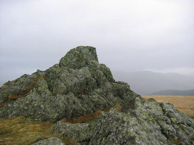 Photo could not load
SH5156 : Moel Tryfan
Richard Webb
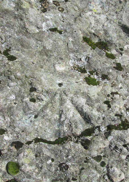 Photo could not load
SH5156 : Ordnance Survey Pivot
Adrian Dust
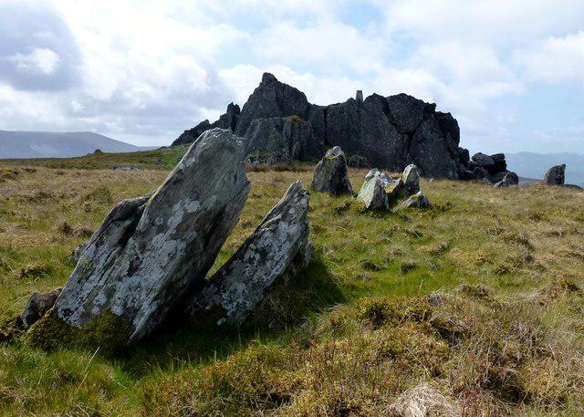 Photo could not load
SH5156 : Moel Tryfan
Rude Health
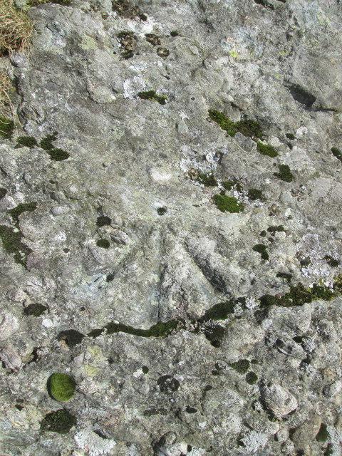 Photo could not load
SH5156 : Ordnance Survey Pivot
Adrian Dust
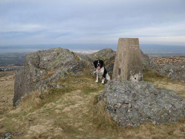 Photo could not load
SH5156 : Triangulation pillar
Jonathan Wilkins
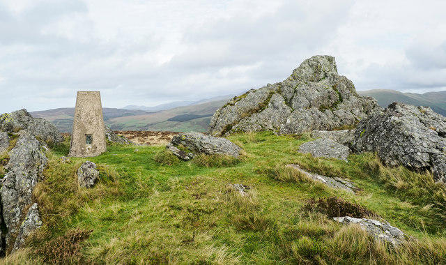 Photo could not load
SH5156 : Trig point and summit rocks of Moel Tryfan
Trevor Littlewood
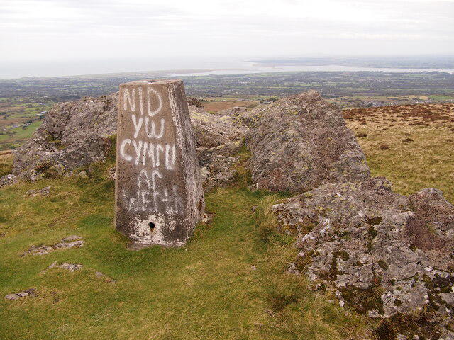 Photo could not load
SH5156 : Trig Point, Moel Tryfan
Chris Andrews
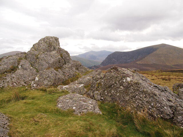 Photo could not load
SH5156 : Moel Tryfan
Chris Andrews
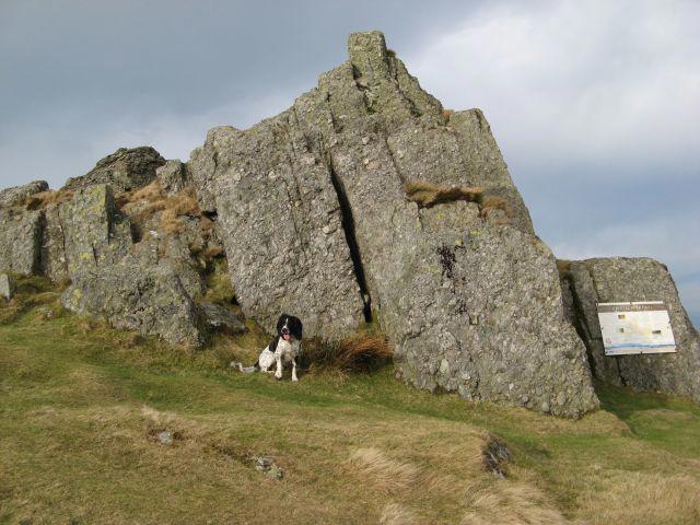 Photo could not load
SH5156 : Rocky summit, Moel Tryfan
Jonathan Wilkins
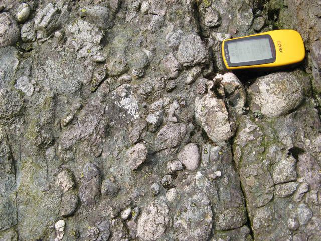 Photo could not load
SH5156 : Conglomerate, Moel Tryfan
Jonathan Wilkins
Hill facts and local notes
Classifications
Elevation
429m
1,407 ft
Prominence
103m
Coordinates
53.0823, -4.2181
SH515561
OS Map
115
Explorer: OL17W 254
At the Summit
The summit features a prominent cairn and a dramatic rock formation known as the 'Adam and Eve' stones, which is a popular photo opportunity.
Terrain & Geology
Moel Tryfan is primarily composed of granite and volcanic rock, which contributes to its rugged terrain and dramatic profile. The area's geology has shaped the landscape into a natural playground for hikers and climbers.
Views & Scenery
From the summit, hikers can enjoy panoramic views of Snowdonia, including the nearby peaks of Glyder Fach and Glyder Fawr, as well as Llyn Ogwen below.
History & Heritage
Name Origin
The name 'Tryfan' is derived from the Welsh word for 'three peaks', which is apt because it looks like three sides of a pyramid from certain angles.
Historical Significance
Moel Tryfan has long been a centre for climbing and outdoor activities, attracting adventurers and hikers alike for its beauty and challenge.
Getting There & Facilities
Parking
Llyn Ogwen car park, approximately 500 meters from the start of the North Ridge route. It can get busy during weekends.
Public Transport
Buses from nearby towns such as Bethesda and Bangor offer access to the area, but schedules may vary.
Nearby Facilities
There's a toilet at the Llyn Ogwen car park and a cafe located nearby in Ogwen Valley.
Safety Information
Known Hazards
- Loose rocks, potential for sudden weather changes, and steep drops near the summit.
General Safety Tips
- Check weather conditions before setting out
- Carry appropriate clothing and equipment
- Let someone know your planned route
- Take a map, compass, and GPS device
- Carry emergency supplies: food, water, first aid kit, torch
Hills
Some common questions about the hills answered
Are there group walks up Moel Tryfan?
Many walkers use Walkmates to join or organise walks with others. You can check for group walks around Moel Tryfan through the maps
Are there other walkers around Moel Tryfan?
Activity varies by location and time, but Walkmates lets you see whether others have shared walks or shown interest in this area. Find other people through the walking friends search walking friends for Moel Tryfan search or of course create your own walk for Moel Tryfan
Can I organise a walk to Moel Tryfan?
Yes. If there aren’t any walks listed already, you can create a walk and make it available for others to join.
If you're signed up to Walkmates, you can create a walk to Moel Tryfan.
How do I find a walk up this hill?
There are often multiple ways to walk this hill, depending on experience and route preference. Walkmates helps you explore walks and routes that others have shared.
Can I suggest a new route up Moel Tryfan?
Yes. You can suggest or create routes to share with others. Walkmates focuses on the social side of walking, so routes are used to help people organise walks and explore areas together, rather than as detailed navigation tools or route libraries.
Other uses really appreciate knowledgeable walkers sharing their routes. Share your favourite route to Moel Tryfan here
The is an error or something incorrect about this hill. How do I let you know?
We always strive to keep the information on Walkmates as accurate as possible. If you find an error, please let us know through the contact form and we'll aim to correct it as quickly as possible
Community Discussion
Comments
Location
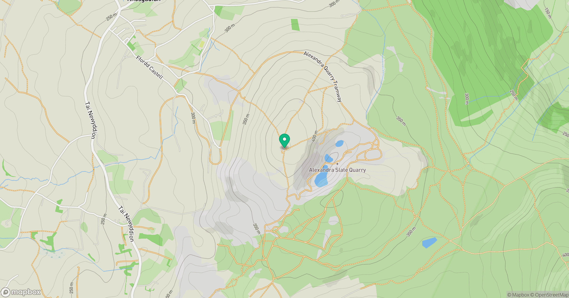
Grid reference: SH515561
View on OpenStreetMapOpens a map in a new tab, centred on the hill.
No comments yet. Be the first.