

Moel Cynghorion
Good walks are even better shared.
SH5856 : View back towards Moel Eilio from Moel Cynghorion
Richard Law Photo source
Overview
Moel Cynghorion: A Hidden Gem in Snowdonia
Geology
Moel Cynghorion is a prime example of the unique geological history of Snowdonia. Composed of volcanic rhyolite, it offers a glimpse into Earth’s ancient past, providing a stark contrast to the lush greenery that surrounds it. If rocks could talk, these would boast about their Ordovician heritage!
Parking and Access
Accessing Moel Cynghorion is relatively straightforward. The nearest parking can be found in Dinorwig, a quaint village before the hike begins. However, keep in mind that parking spaces can fill up quickly during peak seasons.
Public transport is available from Llanberis. Regular buses make stops nearby, giving you that extra nudge of eco-friendliness as you head to the hill. And don’t forget, Llanberis is not just your nearest town but a lovely nook filled with cafes and shops.
Route Suggestions
One lovely route is the Cardigan Bay Trail, starting at Dinorwig. This moderate trek offers a delightful mix of both casual walkers and the more serious hiker. Along the way, you will encounter lovely views, so don’t forget your camera – trust us, it’s not just for Instagram!
The Summit
As you reach the summit, you will be welcomed by a stone cairn that stands as a testament to every spirited climber before you. The views from Moel Cynghorion are simply magnificent, showcasing Snowdon, Llyn Padarn, and on particularly clear days, the glistening expanse of Cardigan Bay. Pack a snack and bask in the beauty of nature; it’s the best reward after a good walk.
Hazards to Consider
While the hike is certainly achievable, don’t get too complacent! Watch out for loose rocks during your ascent, and be prepared for changing weather that can surprise even the most seasoned hiker. Always have a waterproof jacket handy – it’s basically a mountain rule!
History
The name 'Moel Cynghorion', meaning 'Hill of the Counsellors', adds an intriguing layer of history to your adventure. The area bears remnants of ancient stone circles, hinting that our ancestors may have gathered here for counsel or contemplation. Who knows, maybe they were discussing the best routes up the mountain!
Conclusion
Moel Cynghorion is undoubtedly one of Snowdonia's lesser-known treasures, providing a mixture of beautiful landscapes, rich history, and a touch of adventure for all who dare to explore. So lace up those boots, grab your daypack, and make your way to the next summit!
Explore routes near Moel Cynghorion
Walks starting near this hill. Open a route to check its map, distance and full itinerary.
Snowdon Pyg Track returning by Miner's Track
View route
Beddgelert Forest: Derwen Circuit and Llyn Llywelyn
View route
Beddgelert Forest: Llyn Llywelyn Woodland Circuit
View route
Llyn Crafnant: Lakeside Circuit from the NRW Car Park
View route
Route planning notes
These notes describe possible approaches. Check a route's map and access information when planning your walk.
Cardigan Bay Trail
A popular route starting from the nearby village of Dinorwig, offering stunning views along the way. It's a great choice for both seasoned hikers and those looking for a leisurely stroll.
Make a day of it, together
Find someone to share the walk with, or organise a day out along a route you like.
Photo Gallery
View all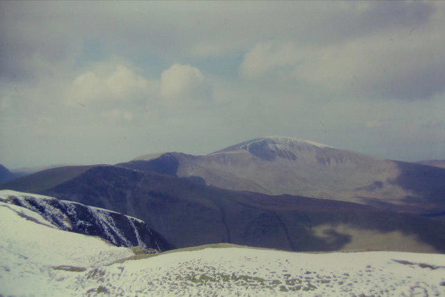 Photo could not load
SH5856 : View back towards Moel Eilio from Moel Cynghorion
Richard Law
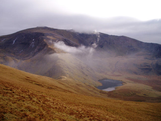 Photo could not load
SH5856 : Snowdon from Moel Cynghorion
David Gruar
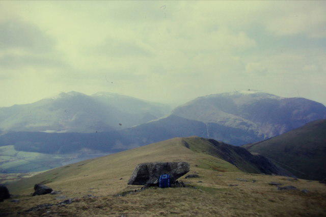 Photo could not load
SH5856 : Towards Beddgelert Forest and the Nantlle Ridge from Moel Cynghorion
Richard Law
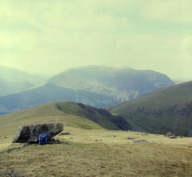 Photo could not load
SH5856 : West-southwest from Moel Cynghorion
Richard Law
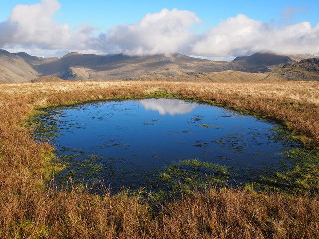 Photo could not load
SH5856 : Summit Plateau, Moel Cynghorion
Chris Andrews
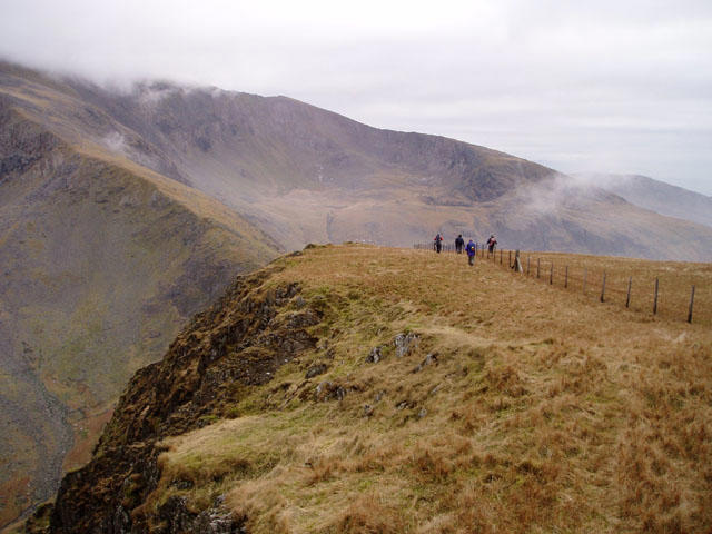 Photo could not load
SH5856 : South-east ridge of Moel Cynghorion
David Gruar
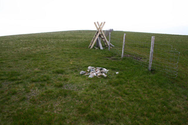 Photo could not load
SH5856 : Moel Cynghorion Summit Cairn
Terry Hughes
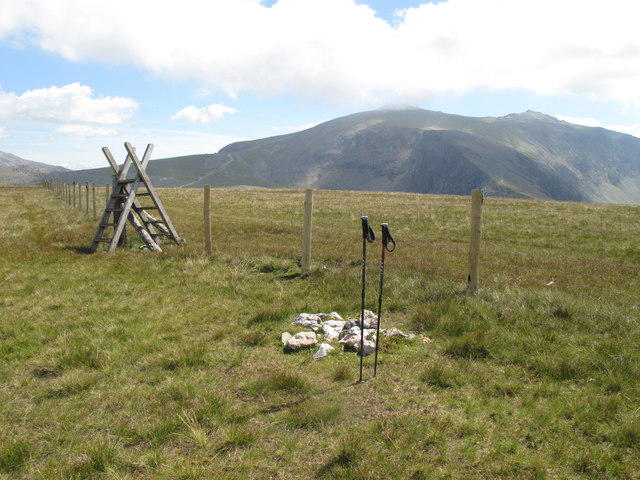 Photo could not load
SH5856 : Moel Cynghorion
Rude Health
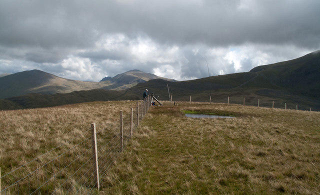 Photo could not load
SH5856 : Summit area of Moel Cynghorion
Trevor Littlewood
Hill facts and local notes
Classifications
Elevation
674m
2,211 ft
Prominence
176m
Coordinates
53.0860, -4.1126
SH586563
OS Map
115
Explorer: OL17W
At the Summit
The summit is marked by a charming stone cairn, which offers a perfect photo opportunity for eager hikers. The surrounding landscape consists of rolling hills and breathtaking valleys.
Terrain & Geology
Moel Cynghorion is primarily composed of volcanic rock, specifically rhyolite, which dates back to the Ordovician period. This rugged geology contributes to the dramatic landscapes characteristic of Snowdonia.
Views & Scenery
From the summit, one can see Snowdon, Llyn Padarn, and even glimpse Cardigan Bay on clear days. It's like God gave this view a platinum membership.
History & Heritage
Name Origin
The name 'Moel Cynghorion' translates to 'Hill of the Counsellors', possibly referring to its historical significance as a meeting point.
Historical Significance
The area surrounding the mountain has a rich history, including remnants of ancient stone circles that hint at its cultural importance.
Getting There & Facilities
Parking
There is a small car park at Dinorwig (SH580624), with limited spaces, so getting there early is a good idea.
Public Transport
Buses from Llanberis service the area, with stops near the foot of the mountain. Check local schedules for up-to-date information.
Nearby Facilities
Cafes and public toilets can be found in Llanberis, less than 5 km from the mountain. Perfect for grabbing a cuppa post-hike!
Safety Information
Known Hazards
- Be wary of loose rocks, particularly in the ascent. The weather can also change rapidly, so be prepared for sudden downpours.
General Safety Tips
- Check weather conditions before setting out
- Carry appropriate clothing and equipment
- Let someone know your planned route
- Take a map, compass, and GPS device
- Carry emergency supplies: food, water, first aid kit, torch
Hills
Some common questions about the hills answered
Are there group walks up Moel Cynghorion?
Many walkers use Walkmates to join or organise walks with others. You can check for group walks around Moel Cynghorion through the maps
Are there other walkers around Moel Cynghorion?
Activity varies by location and time, but Walkmates lets you see whether others have shared walks or shown interest in this area. Find other people through the walking friends search walking friends for Moel Cynghorion search or of course create your own walk for Moel Cynghorion
Can I organise a walk to Moel Cynghorion?
Yes. If there aren’t any walks listed already, you can create a walk and make it available for others to join.
If you're signed up to Walkmates, you can create a walk to Moel Cynghorion.
How do I find a walk up this hill?
There are often multiple ways to walk this hill, depending on experience and route preference. Walkmates helps you explore walks and routes that others have shared.
Can I suggest a new route up Moel Cynghorion?
Yes. You can suggest or create routes to share with others. Walkmates focuses on the social side of walking, so routes are used to help people organise walks and explore areas together, rather than as detailed navigation tools or route libraries.
Other uses really appreciate knowledgeable walkers sharing their routes. Share your favourite route to Moel Cynghorion here
The is an error or something incorrect about this hill. How do I let you know?
We always strive to keep the information on Walkmates as accurate as possible. If you find an error, please let us know through the contact form and we'll aim to correct it as quickly as possible
Community Discussion
Comments
Location
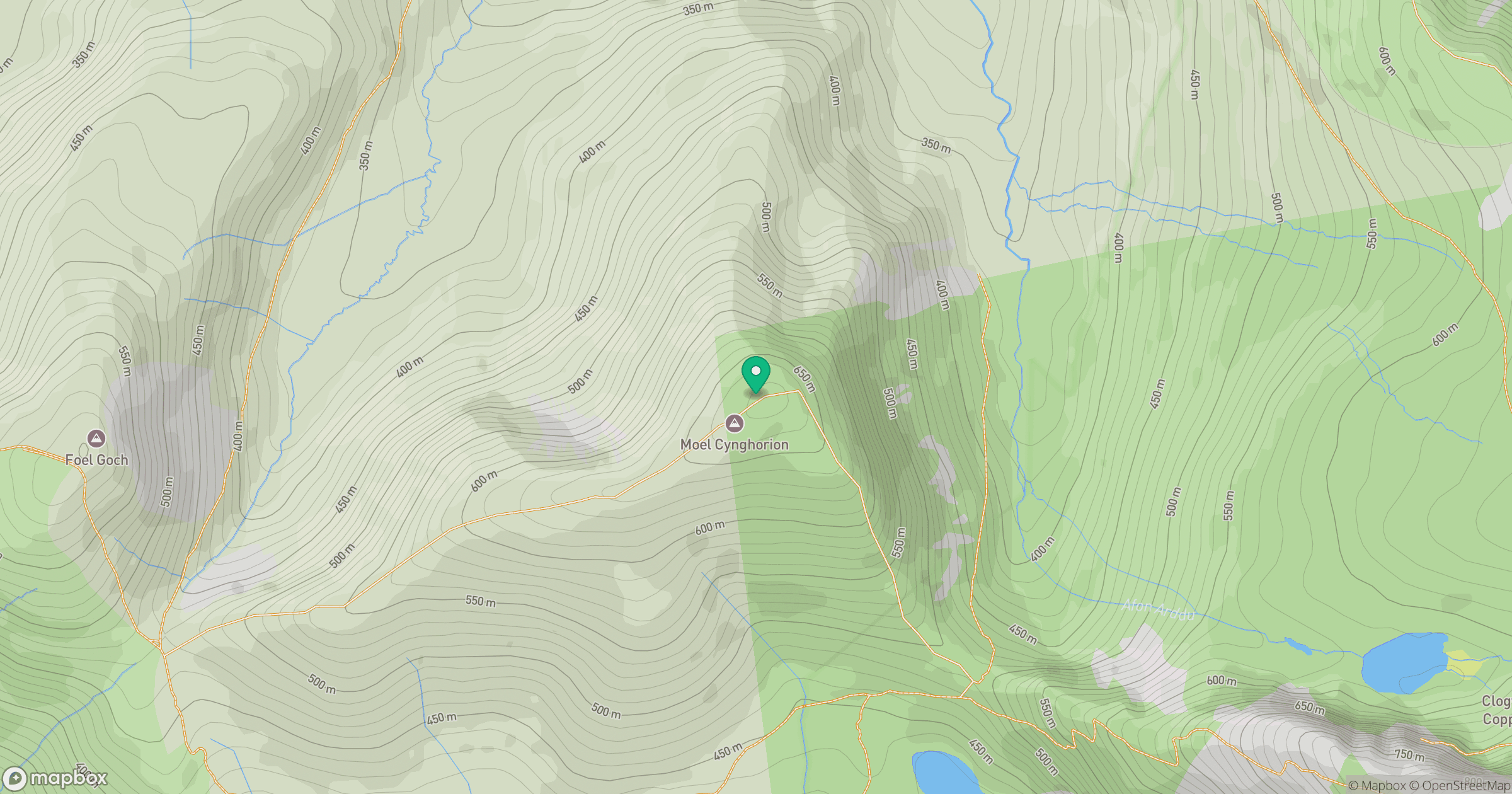
Grid reference: SH586563
View on OpenStreetMapOpens a map in a new tab, centred on the hill.
No comments yet. Be the first.