

Mochrum Hill
Good walks are even better shared.
Overview
Mochrum Hill
Mochrum Hill, standing at 227 meters, may not be the tallest peak in Scotland, but it makes up for that with its charm and beauty. Nestled in the scenic Galloway Forest Park, it’s a gem for those seeking a delightful hike with breathtaking views without the crowds.
Geology
The hill is primarily composed of volcanic rock, mainly andesite and basalt. These geological formations narrate the story of ancient volcanic activity, making a trek here an intriguing geological adventure.
Routes
One of the popular routes is the Mochrum Hill Circular Route. This moderately challenging hike spans approximately 7 km, taking about 2.5 hours to complete. Starting from a nearby car park, hikers are treated to gentle rolling hills and diverse heathland before ascending to the summit, where the towering views await.
Summit Features
At the summit, you’ll find a quaint stone cairn to mark your achievement. On a clear day, the views span from the lush Galloway Hills to the shimmering Solway Firth—definitely worth the walk!
Terrain Type
Expect a mix of terrain on your journey. You’ll navigate through grassy slopes, encounter rocky outcrops, and occasionally face some boggy patches—so perhaps steer clear of white trainers!
Views
The panoramic vistas from Mochrum Hill do not disappoint. Highlights include the Galloway Hills, Loch Spouts, and expansive views towards the coast. For the best photographs, spring or early summer is the perfect time when the heather adds splashes of purple to the landscape.
Hazards
As with any outdoor adventure, caution is advised. Be prepared for sudden weather changes, and watch your step on muddy paths, which can often be challenging after rain. You may also come across grazing livestock, which are incredibly photogenic but best admired from a distance!
Nearby Summits
If you're feeling adventurous, consider tackling some nearby summits like Mochrum Moss or Bennan Hill, each offering its own unique charm and views.
Access
Getting to Mochrum Hill is quite straightforward. The nearest parking is a small car park at the end of an access road just by the hill. For public transport users, the closest bus route can be found in Newton Stewart, roughly 14 km away, so plan your journey accordingly.
Facilities
Unfortunately, you won’t find anything on the hill itself. However, Newton Stewart, the nearest town, has several cafes and shops to grab a bite or refreshments, along with public toilet facilities.
History
Mochrum, derived from the Gaelic for 'wet ground', hints at the local climate. The hill plays a significant role in the Galloway Forest Park, an area noted for its rich biodiversity and cultural history.
So, pack your walking boots and a sense of adventure!
Happy hiking!
Last Updated: 2023-10-01
Explore routes near Mochrum Hill
Public walks starting within 80 km of this hill. Nearby does not mean a route reaches the summit; check its map and access before setting out.
Carrick Forest Drive: Stinchar Bridge to Loch Doon
View route
Glentrool Water of Trool and Spout Head Trail
View route
Loch Trool: Full Loch and Oak Woodland Circuit
View route
Goatfell from Cladach
View route
Route planning notes
These notes describe possible approaches, not verified navigable routes or permission to cross land. Check current paths, local access rules and conditions before setting out.
Mochrum Hill Circular Route
A pleasant circular hike starting from the nearby car park, taking you through rolling hills and heathland before ascending to the summit with expansive views.
Make a day of it, together
Find someone to share the walk with, or organise a day out along a route you like.
Photo Gallery
View all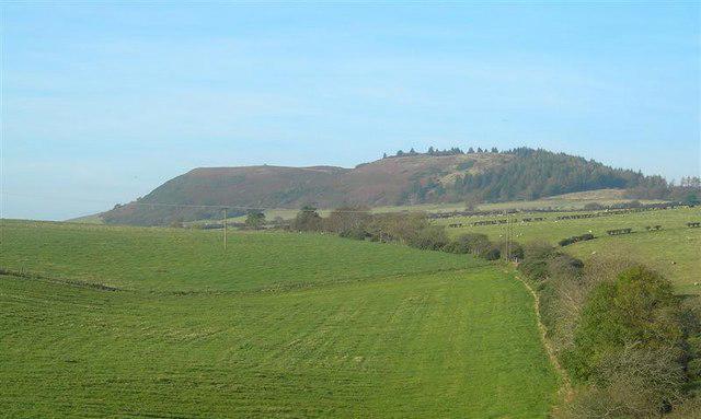 Photo could not load
NS2610 : Mochrum Hill
Mary and Angus Hogg
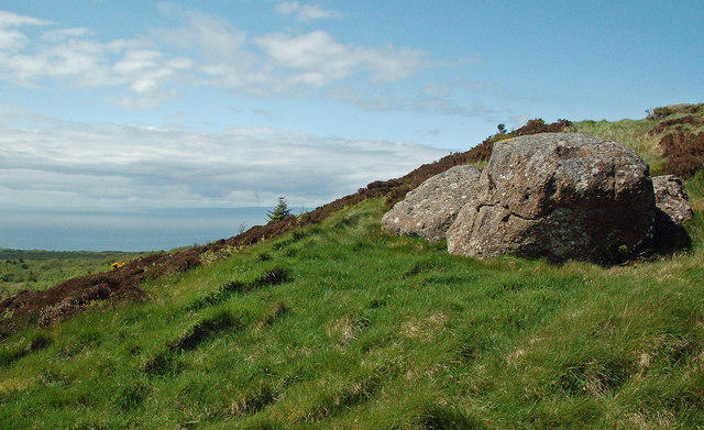 Photo could not load
NS2610 : Rocks on Mochrum Hill
Mary and Angus Hogg
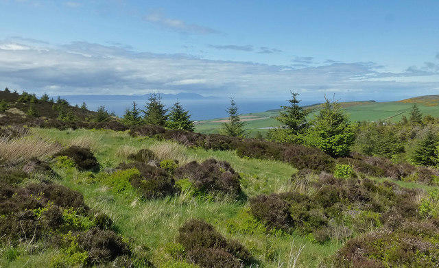 Photo could not load
NS2610 : Mochrum View
Mary and Angus Hogg
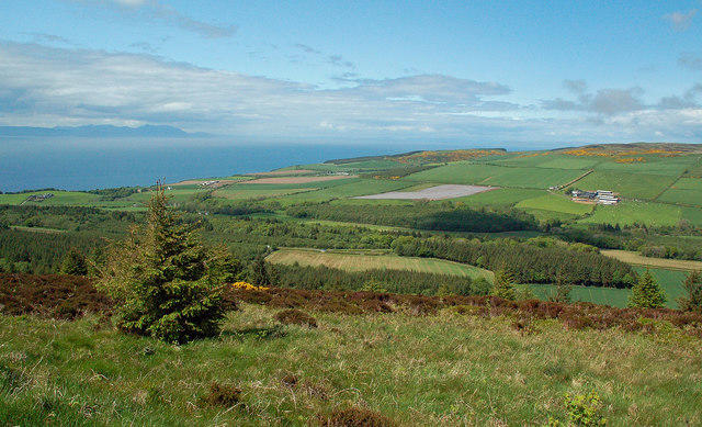 Photo could not load
NS2610 : Knoweside View
Mary and Angus Hogg
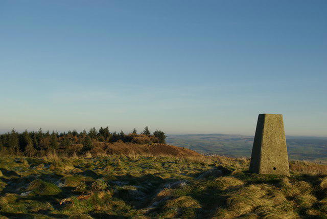 Photo could not load
NS2610 : Trig point on Mochrum Hill
Leslie Barrie
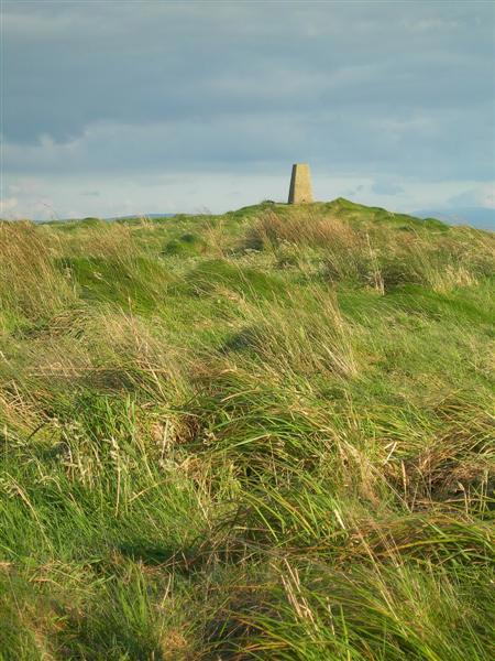 Photo could not load
NS2610 : Trig Point on Mochrum Hill
Mary and Angus Hogg
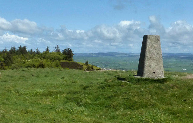 Photo could not load
NS2610 : Ancient Cairn Site on Mochrum Hill
Mary and Angus Hogg
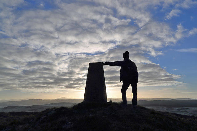 Photo could not load
NS2610 : The triangulation pillar on Mochrum Hill
Walter Baxter
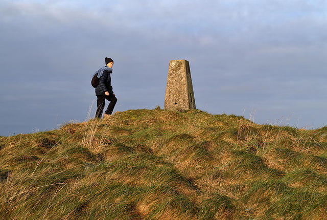 Photo could not load
NS2610 : Mochrum Hill trig point
Walter Baxter
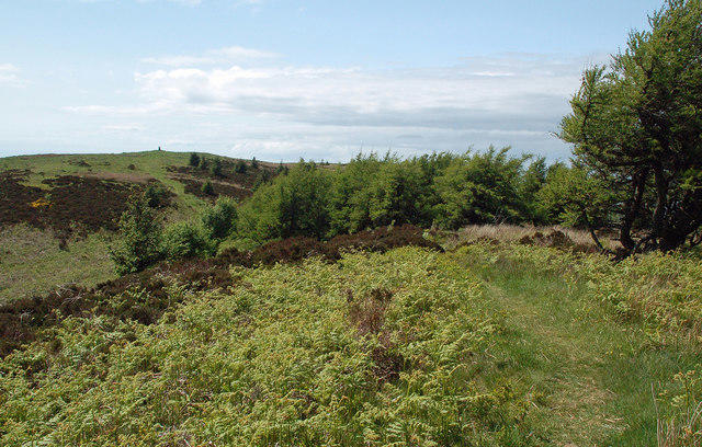
NS2610 : Mochrum Wood View
Mary and Angus Hogg
Hill facts and local notes
Classifications
Elevation
271m
888 ft
Prominence
140m
Coordinates
55.3536, -4.7383
NS264100
OS Map
70
Explorer: 326S
At the Summit
The summit is marked by a small, stone-built cairn and offers a breathtaking view over the surrounding hills and forests.
Terrain & Geology
Mochrum Hill is primarily composed of volcanic rock, specifically andesite and basalt, which make for fascinating geological formations that tell tales of ancient volcanic activity in the area.
Views & Scenery
From the summit, hikers can enjoy stunning views of the Galloway Hills, Loch Spouts, and all the way to the Solway Firth on a clear day.
History & Heritage
Name Origin
The name 'Mochrum' is believed to derive from the Gaelic 'Mochram', meaning 'wet ground' or 'moist land', quite fitting given the area's wet climate!
Historical Significance
The hill is part of the scenic Galloway Forest Park, which is known for its rich biodiversity and importance as a natural habitat.
Getting There & Facilities
Check current local access restrictions, parking rules and transport timetables before travelling. These notes do not confirm public access to the summit.
Parking
There is a small car park located at the end of the access road to the hill, suitable for a few vehicles.
Public Transport
The nearest bus service runs from Newton Stewart, approximately 14 km away. Check local schedules for availability.
Nearby Facilities
There are no facilities directly at Mochrum Hill; however, Newton Stewart has cafes, shops, and public toilets.
Safety Information
Known Hazards
- Beware of unpredictable weather changes and muddy paths after rainfall. Also, be mindful of livestock in the area.
General Safety Tips
- Check weather conditions before setting out
- Carry appropriate clothing and equipment
- Let someone know your planned route
- Take a map, compass, and GPS device
- Carry emergency supplies: food, water, first aid kit, torch
Hills
Some common questions about the hills answered
Are there group walks up Mochrum Hill?
Many walkers use Walkmates to join or organise walks with others. You can check for group walks around Mochrum Hill through the maps
Are there other walkers around Mochrum Hill?
Activity varies by location and time, but Walkmates lets you see whether others have shared walks or shown interest in this area. Find other people through the walking friends search walking friends for Mochrum Hill search or of course create your own walk for Mochrum Hill
Can I organise a walk to Mochrum Hill?
Yes. If there aren’t any walks listed already, you can create a walk and make it available for others to join.
If you're signed up to Walkmates, you can create a walk to Mochrum Hill.
How do I find a walk up this hill?
There are often multiple ways to walk this hill, depending on experience and route preference. Walkmates helps you explore walks and routes that others have shared.
Can I suggest a new route up Mochrum Hill?
Yes. You can suggest or create routes to share with others. Walkmates focuses on the social side of walking, so routes are used to help people organise walks and explore areas together, rather than as detailed navigation tools or route libraries.
Other uses really appreciate knowledgeable walkers sharing their routes. Share your favourite route to Mochrum Hill here
The is an error or something incorrect about this hill. How do I let you know?
We always strive to keep the information on Walkmates as accurate as possible. If you find an error, please let us know through the contact form and we'll aim to correct it as quickly as possible
Community Discussion
Comments
Location
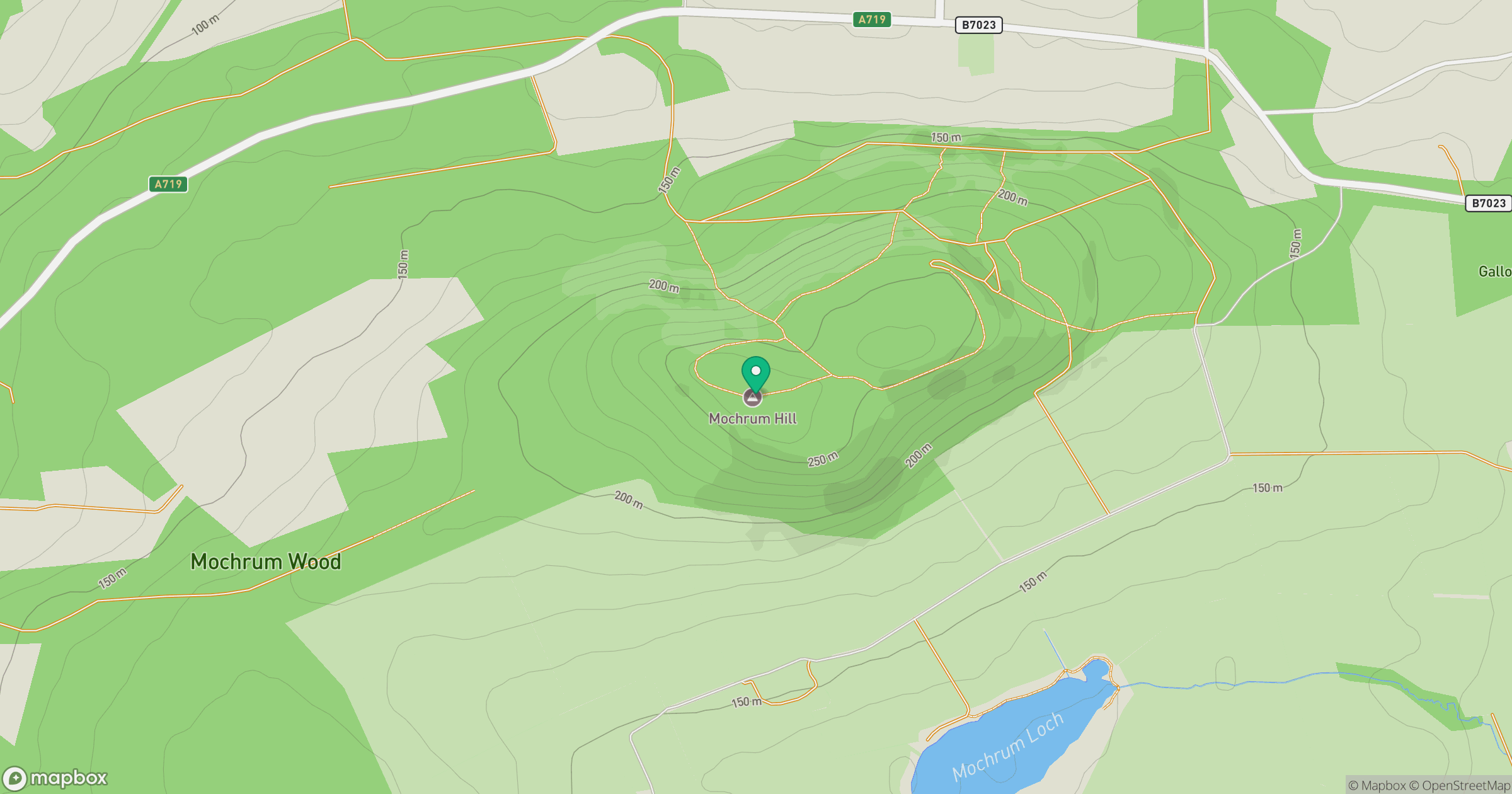
Grid reference: NS264100
View on OpenStreetMapOpens a map in a new tab, centred on the hill.
Hills within 30 km
Straight-line distance, not a walking route or confirmation of access.
No comments yet. Be the first.