

Meall nam Fuaran
Good walks are even better shared.
Overview
Meall nam Fuaran
Nestled in the enchanting Scottish Highlands, Meall nam Fuaran stands as a proud sentinel at an elevation of 620 meters. It’s classified as both a Hewitt and a Marilyn, making it a popular destination for hillwalkers and outdoor enthusiasts alike.
Geology
This mountain is an excellent showcase of Highland geology, predominantly featuring schist and granite. If you take a closer look around, you might spot fascinating glacial formations that speak to the mountain’s ancient, icy past. Just remember, these rocks are not meant for rock climbing—save that for a gym!
Routes
The most frequented route begins at Glen Dochart. This scenic path spans approximately 6.5 km and typically takes about 3.5 hours to complete. It winds through beautiful heather-covered terrain and allows for ample opportunities to stop and catch your breath—or take that Insta-worthy photo! The route is moderate in difficulty, perfect for those with a moderate level of fitness and a sense of adventure.
Summit Features
At the top, you’ll find a quaint rocky outcrop adorned with a small cairn. The summit is an ideal spot to stop, enjoy a snack, and soak in the panoramic views—perhaps you’ll even spy a fellow hiker or two playing E.T. with their arms outstretched, while capturing the moment on camera!
Terrain Type
Meall nam Fuaran boasts a mixture of grassy slopes and rocky outcrops, with the occasional bog to keep you on your toes (literally!). It’s advisable to wear sturdy boots—they’ll keep your feet dry and safe through any unexpected swampy situations.
Views
Once you reach the summit, the vistas are nothing short of spectacular. You’ll witness the dramatic Crianlarich hills, highlighting the rugged beauty of Scotland. On days when the sun shines, even Loch Awe sparkles beautifully in the distance, like a gem in the wild.
Hazards
While taking on Meall nam Fuaran, be cautious of the swiftly changing weather. The Highlands are notorious for their fickle nature, so pack accordingly. Slippery stones can be common, especially in wet conditions, so tread carefully.
Nearby Summits
If you’re keen to conquer more than just Meall nam Fuaran, don’t miss the chance to visit nearby Ben More (1174 m) and Stob Binnein (1165 m), both of which provide additional challenges and stunning views.
Access
Access is pretty straightforward, with a small car park at the trailhead near Glen Dochart. For those relying on public transport, bus services to Crianlarich are available, with taxis or a longer trek required to reach the starting point.
Facilities
Crianlarich is the nearest town where you can find basic amenities such as shops and cafés. It’s a perfect pit stop for coffee or cake after a satisfying day like this.
History
The name 'Meall nam Fuaran' means 'Hill of the Springs' in Gaelic, which pays homage to the numerous natural water sources here. The region is rich in Celtic heritage, and the area is often tied to ancient clans, making this mountain not just a hike, but a step into history.
Whether you’re a seasoned hiker seeking your next adventure or a casual walker looking for a scenic stroll, Meall nam Fuaran delivers a delightful escape into nature. Bring your sense of adventure, but leave the flip-flops at home!
Explore routes near Meall nam Fuaran
Public walks starting within 80 km of this hill. Nearby does not mean a route reaches the summit; check its map and access before setting out.
Kenmore: Drummond Hill Black Rock Trail above Loch Tay
View route
Aberfeldy: Glassie Woodland and River Tay Circular
View route
Crieff: Lady Mary's Walk and the River Earn
View route
Killin: Falls of Dochart, Finlarig and Moirlanich Longhouse
View route
Route planning notes
These notes describe possible approaches, not verified navigable routes or permission to cross land. Check current paths, local access rules and conditions before setting out.
Track from the Glen Dochart
A well-marked path leading from the Glen Dochart. It meanders through heather and offers stunning views as you ascend.
Make a day of it, together
Find someone to share the walk with, or organise a day out along a route you like.
Photo Gallery
View all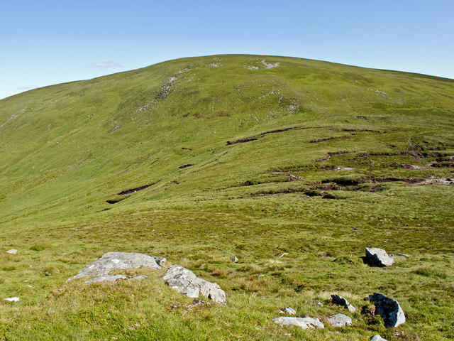 Photo could not load
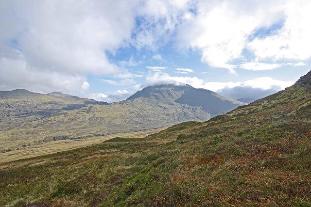
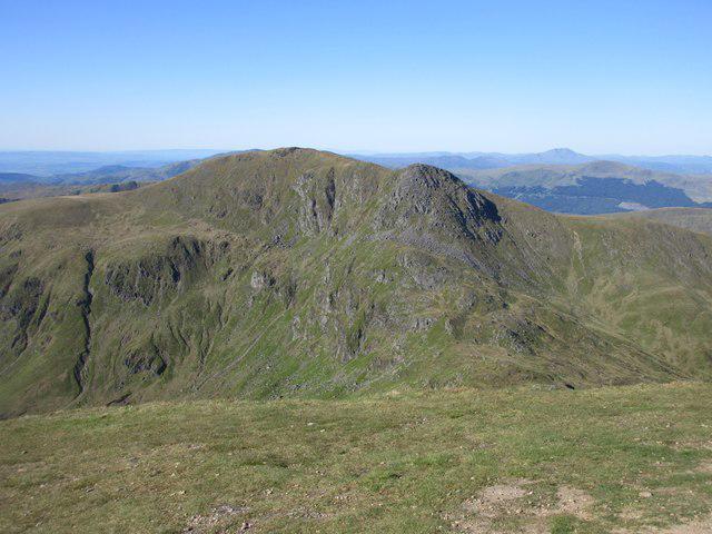
NN8236 : Meall nam Fuaran
William Starkey
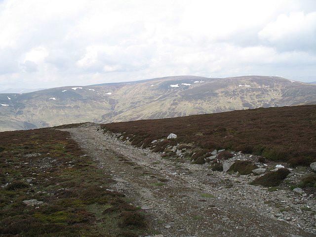 Photo could not load
NN8236 : Bulldozed road, Meall nam Fuaran
Richard Webb
 Photo could not load
NN8236 : Summit bogs, Meall nam Fuaran
Richard Webb
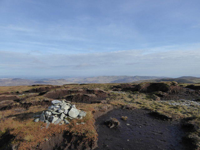 Photo could not load
NN8236 : Peat hags on Meall nam Fuaran ('rounded hill of the springs')
Alan O'Dowd
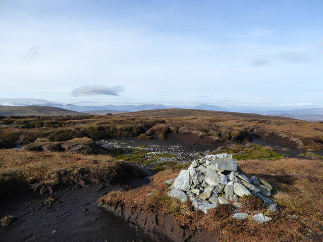 Photo could not load
NN8236 : Cairn on Meall nam Fuaran ('rounded hill of the springs')
Alan O'Dowd
Hill facts and local notes
Classifications
Elevation
805m
2,641 ft
Prominence
134m
Coordinates
56.5029, -3.9090
NN825361
OS Map
52
Explorer: 379W
At the Summit
The summit boasts a rocky outcrop with a small cairn that provides a great spot for photographs and a chance to admire the views without any filters.
Terrain & Geology
Meall nam Fuaran is primarily composed of schist and granite, showcasing the rugged beauty typical of the Scottish Highlands. The area exhibits glacial features which are a testament to the last Ice Age, and you might even catch a glimpse of some intriguing rock formations—just don’t trip over them!
Views & Scenery
From the summit, you can see the vast expanse of the surrounding hills, including the Crianlarich hills and the peak of Ben More. On a clear day, the Loch Awe sparkles in the distance.
History & Heritage
Name Origin
The name 'Meall nam Fuaran' translates to 'Hill of the Springs' in Gaelic, a nod to the many water sources that are found around the area.
Historical Significance
Historically, the region is known for its rich Celtic heritage and has links to ancient clans that roamed these hilltops.
Getting There & Facilities
Check current local access restrictions, parking rules and transport timetables before travelling. These notes do not confirm public access to the summit.
Parking
There is a small parking area at the start of the trail near Glen Dochart, suitable for a handful of cars.
Public Transport
The nearest public transport is via bus to Crianlarich, followed by a short taxi ride or a long walk to the trailhead.
Nearby Facilities
Crianlarich offers basic facilities including a shop and a couple of cafés. However, if you’re hoping for a five-star restaurant, you might need to hike a little further afield!
Safety Information
Known Hazards
- Beware of changing weather conditions which can turn swiftly; also watch out for slippery stones, especially after rain.
General Safety Tips
- Check weather conditions before setting out
- Carry appropriate clothing and equipment
- Let someone know your planned route
- Take a map, compass, and GPS device
- Carry emergency supplies: food, water, first aid kit, torch
Hills
Some common questions about the hills answered
Are there group walks up Meall nam Fuaran?
Many walkers use Walkmates to join or organise walks with others. You can check for group walks around Meall nam Fuaran through the maps
Are there other walkers around Meall nam Fuaran?
Activity varies by location and time, but Walkmates lets you see whether others have shared walks or shown interest in this area. Find other people through the walking friends search walking friends for Meall nam Fuaran search or of course create your own walk for Meall nam Fuaran
Can I organise a walk to Meall nam Fuaran?
Yes. If there aren’t any walks listed already, you can create a walk and make it available for others to join.
If you're signed up to Walkmates, you can create a walk to Meall nam Fuaran.
How do I find a walk up this hill?
There are often multiple ways to walk this hill, depending on experience and route preference. Walkmates helps you explore walks and routes that others have shared.
Can I suggest a new route up Meall nam Fuaran?
Yes. You can suggest or create routes to share with others. Walkmates focuses on the social side of walking, so routes are used to help people organise walks and explore areas together, rather than as detailed navigation tools or route libraries.
Other uses really appreciate knowledgeable walkers sharing their routes. Share your favourite route to Meall nam Fuaran here
The is an error or something incorrect about this hill. How do I let you know?
We always strive to keep the information on Walkmates as accurate as possible. If you find an error, please let us know through the contact form and we'll aim to correct it as quickly as possible
Community Discussion
Comments
Location
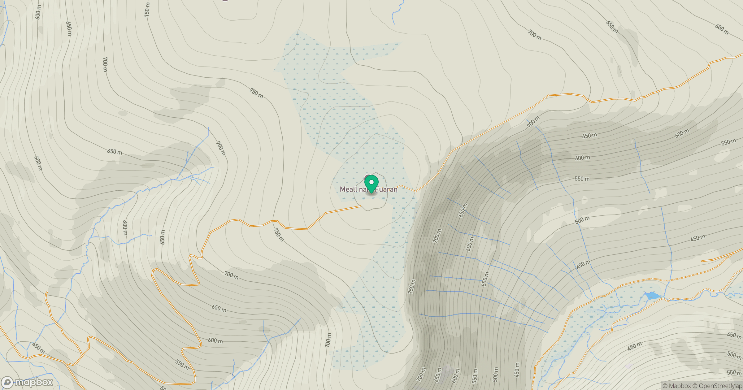
Grid reference: NN825361
View on OpenStreetMapOpens a map in a new tab, centred on the hill.
Hills within 30 km
Straight-line distance, not a walking route or confirmation of access.
No comments yet. Be the first.