

Carn Chois
Good walks are even better shared.
Overview
Carn Chois
Overview
Carn Chois, standing at an elevation of 831 meters, is a relatively modest yet delightful mountain located in the Scottish Highlands. It may not be the tallest peak on the block, but it certainly holds its own with stunning vistas and a sense of solitude that many hikers seek.
Geology
The geological makeup of Carn Chois features ancient metamorphic rocks, predominantly schists and gneisses. These formations create a dramatic landscape that has been sculpted by both time and nature's handywork, reminding us of the Earth's dynamic processes.
Routes
The most popular route is the North East Ridge Route, a moderate trail that allows hikers to enjoy a good mix of elevation gain and beautiful scenery. At about 8 km, it can be completed in approximately four hours, making enough time for a leisurely lunch at the summit while soaking in the views. Remember to pack some snacks; nothing goes better with high altitude than a nice sandwich, right?
Terrain
Expect a combination of grassy slopes and rocky outcrops as you ascend. Keep an eye out for boggy areas that can catch even the most seasoned hikers off guard. Sturdy footwear is a must; you don't want to end up with soggy socks in this gorgeous wilderness.
Views
Once you reach the summit, prepare to be awestruck. The panoramic vistas encompass Ben Rinnes to the southeast and the Cairngorms in the distance. The best times to enjoy these views are in spring and autumn when the landscape is bursting with colour and life.
Hazards
Be mindful of the weather, as it can change faster than you can say ‘Scottish drizzle’. Check the forecasts and come prepared. Stay on established paths to avoid boggy traps and rugged terrain where one wrong step could lead to an unplanned mud facial.
Nearby Summits
If you have time, consider tackling nearby peaks like Ben Rinnes or Cairn Gorm. These mountains are just around the corner and offer additional hiking opportunities.
Access
Access is fairly straightforward, with parking available near the A95 about 3 km from the trailhead. Public transport options are available from Aberlour, though they may be hit or miss at times. The quaint town of Aberlour is the nearest settlement where you can find basic amenities.
Facilities
Cafes, local shops, and toilets can be found in Aberlour, allowing hikers to refuel before or after their adventure on Carn Chois.
History
The origin of the name 'Carn Chois' implies a connection to the area's past, with hints of chestnut trees that once thrived, adding a layer of botanical legacy. Like many Highland peaks, Carn Chois has silently watched generations of adventurers come and go, each adding a new chapter to its rich history.
Now that you have the lowdown on Carn Chois, lace up those hiking boots and get ready for an escapade into the serene beauty of the Scottish Highlands. Happy hiking!
Explore routes near Carn Chois
Public walks starting within 80 km of this hill. Nearby does not mean a route reaches the summit; check its map and access before setting out.
Crieff: Lady Mary's Walk and the River Earn
View route
Kenmore: Drummond Hill Black Rock Trail above Loch Tay
View route
Killin: Falls of Dochart, Finlarig and Moirlanich Longhouse
View route
Aberfeldy: Glassie Woodland and River Tay Circular
View route
Route planning notes
These notes describe possible approaches, not verified navigable routes or permission to cross land. Check current paths, local access rules and conditions before setting out.
North East Ridge Route
A scenic route that ascends via the northeastern ridge, providing panoramic views along the way. This route can be enjoyed by both novices and seasoned hikers alike.
Make a day of it, together
Find someone to share the walk with, or organise a day out along a route you like.
Photo Gallery
View all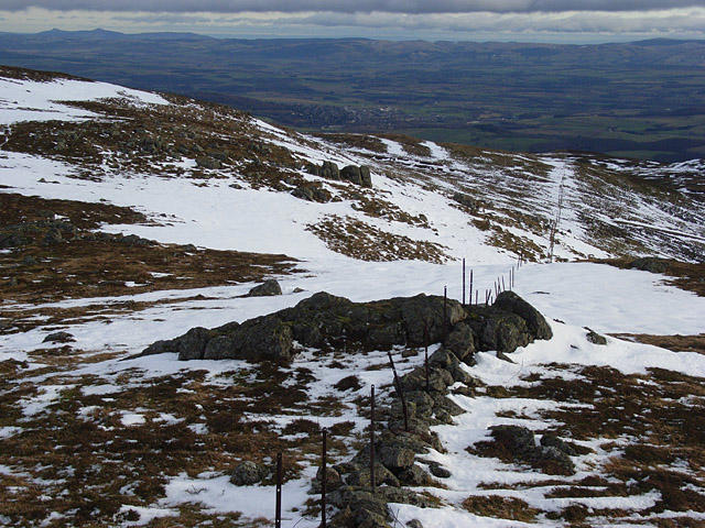 Photo could not load
NN7927 : Carn Chois
Andrew Smith
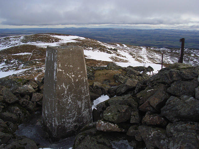 Photo could not load
NN7927 : Carn Chois
Andrew Smith
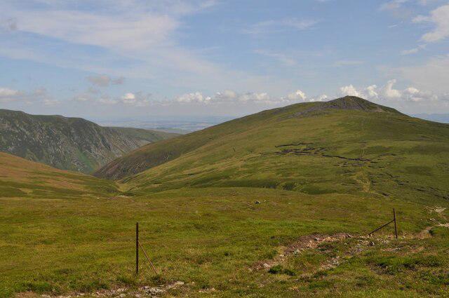 Photo could not load
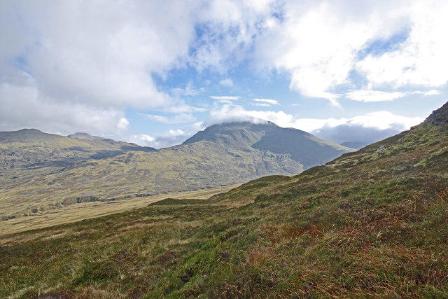
NN7927 : Carn Chòis from Meall na Sèide
Robert Struthers
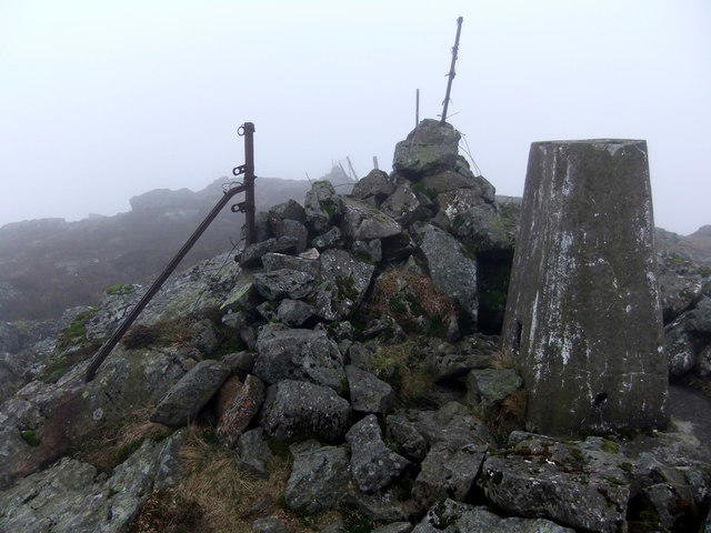 Photo could not load
NN7927 : Carn Chois
David Brown
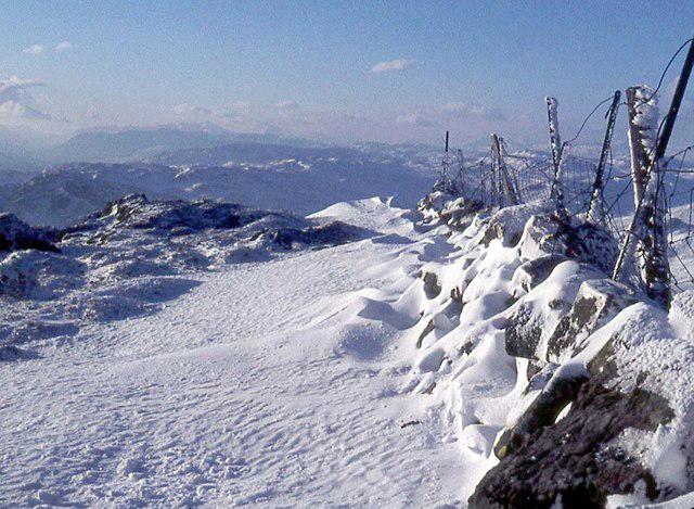 Photo could not load
NN7927 : Càrn Chòis
Alan Reid
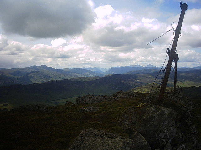 Photo could not load
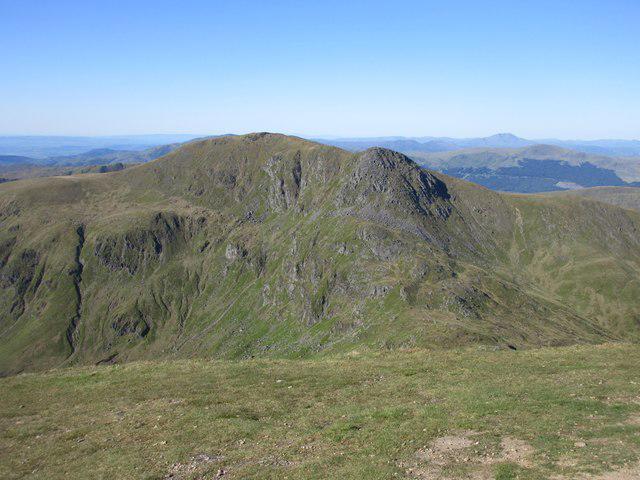
NN7927 : Summit of Carn Chois
Ross Mathieson
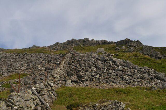 Photo could not load
NN7927 : Approach to Carn Chòis
Robert Struthers
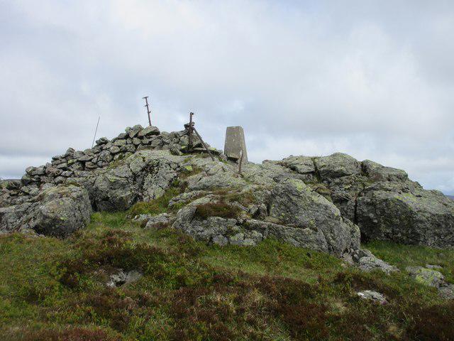 Photo could not load
NN7927 : Carn Chòis Trig Pillar
Scott Cormie
Hill facts and local notes
Classifications
Elevation
786m
2,579 ft
Prominence
118m
Coordinates
56.4264, -3.9609
NN791277
OS Map
51 52
Explorer: OL47W 368W 379W
At the Summit
The summit is adorned with a modest cairn and offers a splendid viewpoint to the surrounding mountains and glens, making it a perfect spot for a celebratory snack or a quick selfie.
Terrain & Geology
The bedrock primarily consists of ancient metamorphic rocks, including schists and gneisses, which contribute to the rugged beauty and distinctive slopes of the mountain. These geological formations are a reminder of the powerful tectonic activity that shaped the landscape millions of years ago.
Views & Scenery
From the summit, hikers can enjoy stunning vistas of the surrounding peaks, including Ben Rinnes to the southeast and the rugged contours of the Cairngorms in the distance.
History & Heritage
Name Origin
The name 'Carn Chois' translates roughly to 'hill of the chestnut', likely referring to the rare chestnut trees that were once more prevalent in the region.
Historical Significance
The mountain, like many in the Highlands, has been a silent witness to centuries of history, from ancient clans to the more recent hiking enthusiasts.
Getting There & Facilities
Check current local access restrictions, parking rules and transport timetables before travelling. These notes do not confirm public access to the summit.
Parking
There is parking available at a small layby near the A95, approximately 3 km from the starting point of the route.
Public Transport
Buses from nearby towns such as Aberlour connect to the A95, though services may be limited, particularly on weekends.
Nearby Facilities
Cafes and local shops in Aberlour can provide refreshments and supplies. Toilets may be available at the town square.
Safety Information
Known Hazards
- As with many Scottish mountains, be cautious of the potentially rapid weather changes. Ensure you have proper gear and stay on marked paths to avoid getting lost in the boggy bits.
General Safety Tips
- Check weather conditions before setting out
- Carry appropriate clothing and equipment
- Let someone know your planned route
- Take a map, compass, and GPS device
- Carry emergency supplies: food, water, first aid kit, torch
Hills
Some common questions about the hills answered
Are there group walks up Carn Chois?
Many walkers use Walkmates to join or organise walks with others. You can check for group walks around Carn Chois through the maps
Are there other walkers around Carn Chois?
Activity varies by location and time, but Walkmates lets you see whether others have shared walks or shown interest in this area. Find other people through the walking friends search walking friends for Carn Chois search or of course create your own walk for Carn Chois
Can I organise a walk to Carn Chois?
Yes. If there aren’t any walks listed already, you can create a walk and make it available for others to join.
If you're signed up to Walkmates, you can create a walk to Carn Chois.
How do I find a walk up this hill?
There are often multiple ways to walk this hill, depending on experience and route preference. Walkmates helps you explore walks and routes that others have shared.
Can I suggest a new route up Carn Chois?
Yes. You can suggest or create routes to share with others. Walkmates focuses on the social side of walking, so routes are used to help people organise walks and explore areas together, rather than as detailed navigation tools or route libraries.
Other uses really appreciate knowledgeable walkers sharing their routes. Share your favourite route to Carn Chois here
The is an error or something incorrect about this hill. How do I let you know?
We always strive to keep the information on Walkmates as accurate as possible. If you find an error, please let us know through the contact form and we'll aim to correct it as quickly as possible
Community Discussion
Comments
Location
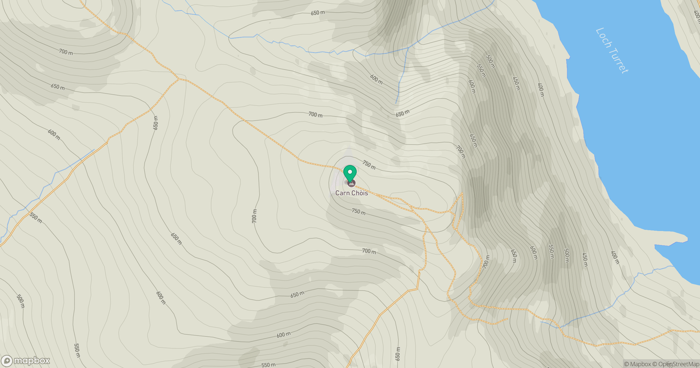
Grid reference: NN791277
View on OpenStreetMapOpens a map in a new tab, centred on the hill.
Hills within 30 km
Straight-line distance, not a walking route or confirmation of access.
No comments yet. Be the first.