

Lyth Hill
Good walks are even better shared.
SJ4706 : Second of three signs at view point on Lyth Hill
Roy Haworth Photo source
Overview
Lyth Hill
Lyth Hill may not be the highest peak in the Shropshire Hills, but it offers a charming outing for hikers of all abilities. Standing proudly at 295 meters, it’s the kind of place where you can have a good natter with friends while enjoying splendid views.
Geology
The hill features intriguing sedimentary formations, primarily comprised of clay and sandstone. If rocks could talk, these would tell tales of ancient seas and shifting landscapes. The gentle slopes and accessible trails make this hill perfect for leisurely strolls.
Routes
A popular route is the Lyth Hill Circular Route. It spans about 3.5 km and takes roughly 1.5 hours to complete. This easy wander winds through delightful woodlands and sprawling fields before leading you to the summit, where the views are well worth the effort.
Summit Features
At the peak, you'll find a trig point—a great spot for a cheeky selfie to show off your hiking prowess. Remember, the more friends you take, the better your chances are of being the one who made it to the top first!
Terrain Type
The terrain is predominantly grassy, providing a lovely green carpet for your trek. Occasional rocky patches add a bit of variety, but nothing to worry your sensible shoes about.
Views
From the summit, you can feast your eyes on the splendid Shropshire hills, with notable landmarks like the Long Mynd and Stretton Hills gracing the horizon. The best times for these picturesque views are in spring and autumn, when nature painting its masterpieces leaves you breathless.
Hazards
As with any outdoor adventure, keep your wits about you. Sheep are omnipresent and will not budge for anyone—consider them the locals! Additionally, wet trails can be slippery, so sturdy footwear is a wise choice.
Nearby Summits
For those wanting more than just Lyth Hill, nearby peaks such as Mince Pie Hill and The Lawley offer further exploration and stretching of your legs.
Access
Lyth Hill is easily accessible. There’s a car park located conveniently at the base, and public transport options make it possible to reach the hill without a car. Shrewsbury, the nearest town, provides a wealth of coffee shops and the all-important toilets.
Facilities
While you won’t find any facilities at the summit, make sure to stop by Shrewsbury to fuel up on snacks or have a well-deserved treat post-hike.
History
The name 'Lyth' refers to a clearing or glade, hinting at the hill's unique topography that has attracted visitors for generations. Moreover, local folklore surrounds the area, so don’t be surprised if you hear a ghost story or two from fellow walkers.
In essence, Lyth Hill combines natural beauty with an easy-going atmosphere, perfect for a delightful day out in the Shropshire countryside. Don't forget your camera—it’s a keeper!
Explore routes near Lyth Hill
Walks starting near this hill. Open a route to check its map, distance and full itinerary.
Shrewsbury Walk with Men Walking & Talking
View route
Attingham Park Deer Park and River Tern
View route
Haughmond Hill: Henry’s Hike
View route
Lightspout Waterfall via Carding Mill Valley Circular
View route
Route planning notes
These notes describe possible approaches. Check a route's map and access information when planning your walk.
Lyth Hill Circular Route
A scenic circular walk starting from the base of the hill, taking you through woodlands and fields before ascending to the summit.
Make a day of it, together
Find someone to share the walk with, or organise a day out along a route you like.
Photo Gallery
View all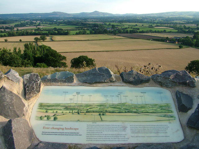 Photo could not load
SJ4706 : Second of three signs at view point on Lyth Hill
Roy Haworth
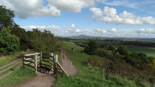 Photo could not load
SJ4706 : View towards The Wrekin from Lyth Hill, Shropshire
Colin Park
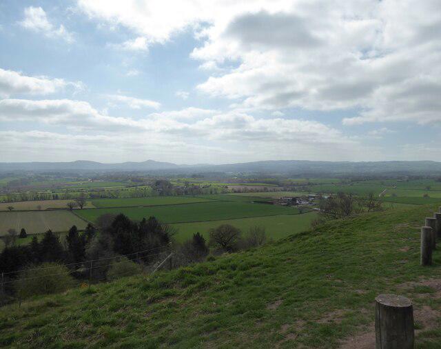 Photo could not load
SJ4706 : View southwards from Lyth Hill
Jeremy Bolwell
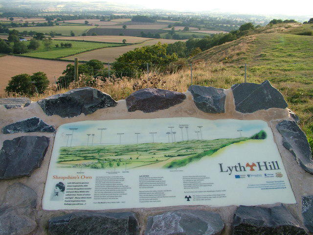 Photo could not load
SJ4706 : Third of three signs at view point on Lyth Hill
Roy Haworth
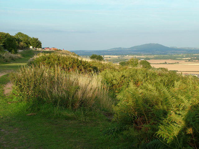 Photo could not load
SJ4706 : Looking East to the Wrekin
Roy Haworth
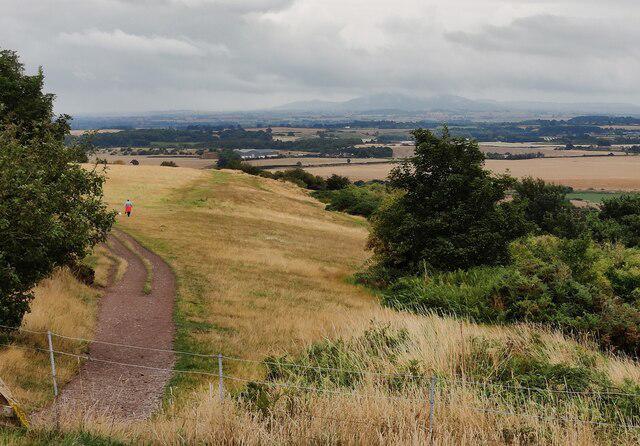 Photo could not load
SJ4706 : View east from the Lyth Hill Country Park
Mat Fascione
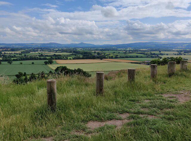 Photo could not load
SJ4706 : View south from the car park at the Lyth Hill Country Park
Mat Fascione
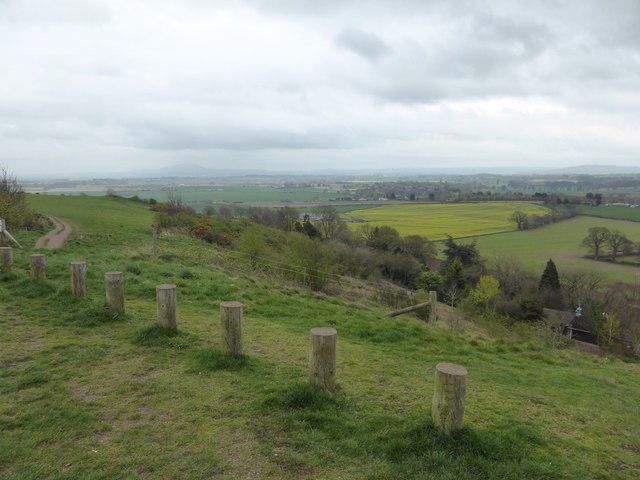 Photo could not load
SJ4706 : Looking north-eastwards from Lyth Hill in spring
Jeremy Bolwell
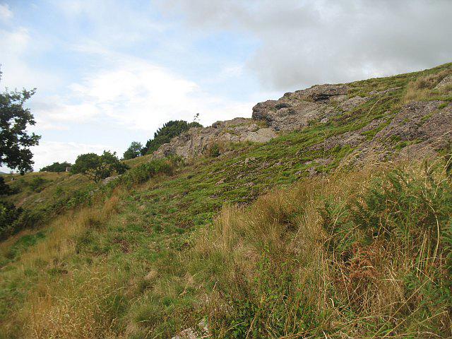 Photo could not load
SJ4706 : Crags, Lyth Hill
Richard Webb
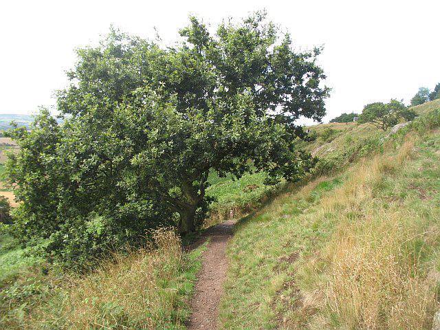
SJ4706 : Path, Lyth Hill
Richard Webb
Hill facts and local notes
Classifications
Elevation
170m
556 ft
Prominence
61m
Coordinates
52.6568, -2.7821
SJ471068
OS Map
126
Explorer: 241S
At the Summit
The summit is marked by a trig point, offering a perfect photo opportunity to show your mates you actually made it to the top (proof can be helpful).
Terrain & Geology
Lyth Hill is primarily composed of sedimentary rocks, including various types of clay and sandstone, which have created a distinctive landscape with gentle slopes and a prominent plateau. The area showcases fascinating geological features shaped by glacial activity.
Views & Scenery
From the summit, you'll enjoy sweeping views of the Shropshire Hills, including the Long Mynd and the Stretton Hills, as well as a glimpse of the town of Shrewsbury in the distance.
History & Heritage
Name Origin
The name 'Lyth' is derived from the Old English word for 'clearing' or 'glade', reflecting the nature of the terrain.
Historical Significance
Historically, Lyth Hill has been a popular spot for local walkers and has ties to various legends within Shropshire folklore.
Getting There & Facilities
Parking
There is a small car park at the base of Lyth Hill, just off the B4380, providing ample space for visitors.
Public Transport
Regular bus services run from Shrewsbury to nearby villages, with a short walk to the hill's entrance.
Nearby Facilities
There are no facilities on the hill itself, but Shrewsbury, located just a short drive away, has numerous cafes and public toilets.
Safety Information
Known Hazards
- Watch out for the odd sheep or two; they have the right of way here. Also, be cautious on wet, slippery sections of the trail.
General Safety Tips
- Check weather conditions before setting out
- Carry appropriate clothing and equipment
- Let someone know your planned route
- Take a map, compass, and GPS device
- Carry emergency supplies: food, water, first aid kit, torch
Hills
Some common questions about the hills answered
Are there group walks up Lyth Hill?
Many walkers use Walkmates to join or organise walks with others. You can check for group walks around Lyth Hill through the maps
Are there other walkers around Lyth Hill?
Activity varies by location and time, but Walkmates lets you see whether others have shared walks or shown interest in this area. Find other people through the walking friends search walking friends for Lyth Hill search or of course create your own walk for Lyth Hill
Can I organise a walk to Lyth Hill?
Yes. If there aren’t any walks listed already, you can create a walk and make it available for others to join.
If you're signed up to Walkmates, you can create a walk to Lyth Hill.
How do I find a walk up this hill?
There are often multiple ways to walk this hill, depending on experience and route preference. Walkmates helps you explore walks and routes that others have shared.
Can I suggest a new route up Lyth Hill?
Yes. You can suggest or create routes to share with others. Walkmates focuses on the social side of walking, so routes are used to help people organise walks and explore areas together, rather than as detailed navigation tools or route libraries.
Other uses really appreciate knowledgeable walkers sharing their routes. Share your favourite route to Lyth Hill here
The is an error or something incorrect about this hill. How do I let you know?
We always strive to keep the information on Walkmates as accurate as possible. If you find an error, please let us know through the contact form and we'll aim to correct it as quickly as possible
Community Discussion
Comments
Location
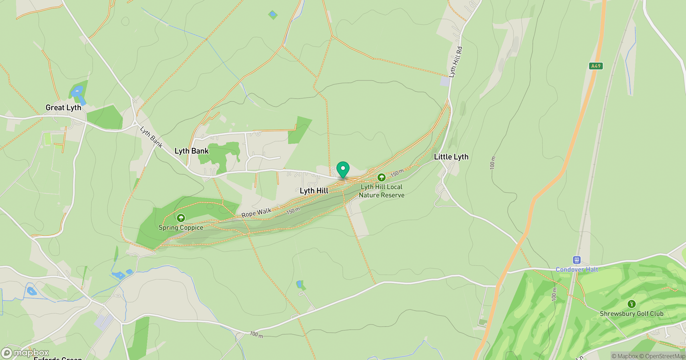
Grid reference: SJ471068
View on OpenStreetMapOpens a map in a new tab, centred on the hill.
Nearby Hills
Long Mynd - Pole Bank
517m
Stiperstones
537m

The Wrekin
407m
Titterstone Clee Hill
533m
Cadair Berwyn
832m
No comments yet. Be the first.