

Diddlebury Common
Good walks are even better shared.
Overview
Diddlebury Common
Nestled in the heart of the Shropshire Hills, Diddlebury Common is a delightful destination for hikers and nature lovers alike. With an elevation of 177 meters, the Common promises not just a gentle stroll, but stunning views that stretch as far as the eye can see!
Geology
The area's geology is dominated by sedimentary rocks, predominantly sandstone, which tells tales of ancient seas and landforms sculpted by the relentless forces of nature. The rolling hills and fertile valleys not only create striking scenery but also support thriving agricultural activity in the region.
Routes
Diddlebury Village Circular
This popular route offers an 8 km circuit starting from the charming Diddlebury Village. It's a moderate trek that immerses you in local wildlife and the quaint countryside.
Summit Features
On reaching the summit, hikers are greeted with a gentle grassy knoll, perfect for a peaceful respite. A simple wooden bench awaits, allowing you to soak in the views whilst pondering life's many mysteries (like why you didn’t pack a sandwich!).
Terrain Type
Framed with grassy slopes and dotted with the occasional rocky outcrop, Diddlebury Common offers an easy-on-the-legs walking experience, making it suitable for most walkers.
Views
Highlights
The views from the top are nothing short of spectacular. On a clear day, the Long Mynd and Stiperstones dominate the horizon, while the lush green valleys below extend into the distance. Ah, the serenity!
Best Seasons
Visit during spring or autumn for the best visuals. Spring brings blooming flowers, while autumn dresses the hills in a golden hue.
Hazards
While the trek is not particularly dangerous, be mindful of muddy spots after rains. Mother Nature does have a way of keeping us on our toes, or should I say, our Wellies!
Nearby Summits
For the adventurous spirit, nearby summits like Clee Hill and Long Mynd offer further exploring opportunities, challenging those who crave a bit more altitude!
Access
Nearest Parking
A small parking area is available at Diddlebury Village, which conveniently places you at the start of your adventure.
Public Transport
Regular bus services from Ludlow make accessing Diddlebury Village hassle-free. Always check local timetables, as schedules can change.
Nearest Town
Ludlow, known for its historic architecture and food festivals, is just a short drive away, making it the perfect spot to grab a bite post-hike.
Facilities
When hunger strikes, The Diddlebury Inn, a charming local pub, awaits you with hearty meals and draught ales (ideal after a long day). Basic restroom facilities are also available for visitors.
History
Name Meaning
The name Diddlebury hints at its fortified past, meaning 'the fortified place by the river.' Isn't it lovely to stroll through history?
Significance
The Common has served as communal grazing land for generations and has a rich tapestry of local folklore woven through its history. A walk here might just have you spouting tales of the past!
In conclusion, Diddlebury Common is a gentle giant among the hills, offering easy access, beautiful scenery, and a slice of local history. So lace up those boots and take a hike; you won't regret it!
Explore routes near Diddlebury Common
Public walks starting within 80 km of this hill. Nearby does not mean a route reaches the summit; check its map and access before setting out.
Carding Mill Valley and The Long Mynd walk
View route
Lightspout Waterfall via Carding Mill Valley Circular
View route
Ludlow Town Walls and Castle Walk
View route
Mortimer Forest Lower Evens Circuit
View route
Route planning notes
These notes describe possible approaches, not verified navigable routes or permission to cross land. Check current paths, local access rules and conditions before setting out.
Diddlebury Village Circular
A delightful circuit starting from Diddlebury Village, taking you through picturesque landscapes and offering a taste of the local countryside.
Make a day of it, together
Find someone to share the walk with, or organise a day out along a route you like.
Photo Gallery
View all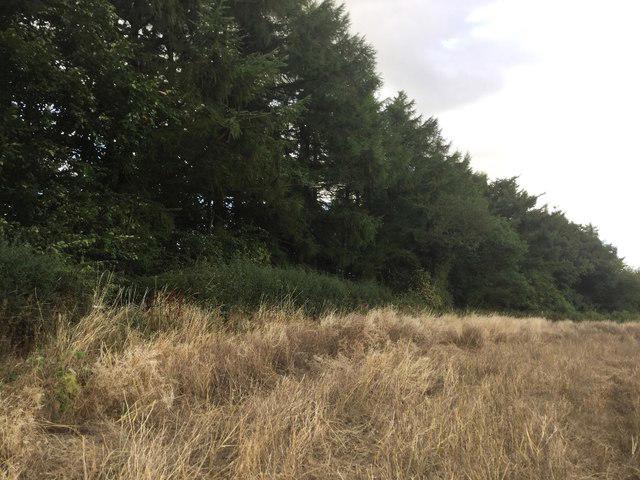 Photo could not load
SO4886 : Summit, Diddlebury Common
Richard Webb
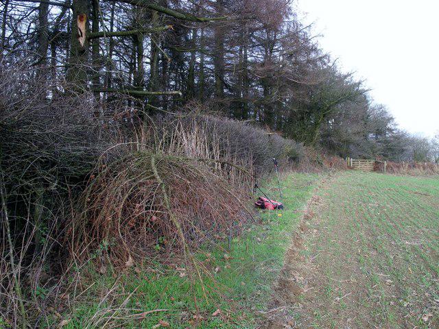 Photo could not load
SO4886 : Diddlebury Common
Rude Health
Hill facts and local notes
Classifications
Elevation
316m
1,037 ft
Prominence
102m
Coordinates
52.4764, -2.7626
SO483867
OS Map
137 138
Explorer: 217
At the Summit
The summit of Diddlebury Common features a grassy knoll with breathtaking panoramic views and a simple wooden bench for that well-deserved rest.
Terrain & Geology
Diddlebury Common primarily features sedimentary rocks, including sandstone, which has been sculpted by the elements into rolling hills and enchanting valleys. The region's agricultural history is also evident in the rich, well-drained soils.
Views & Scenery
From the summit, one can marvel at the stunning Shropshire Hills, including the Long Mynd and Stiperstones, as well as views across to the Welsh border hills.
History & Heritage
Name Origin
The name 'Diddlebury' is believed to derive from Old English, meaning 'the fortified place by the river'.
Historical Significance
Diddlebury Common has been a communal grazing land for centuries and is steeped in local folklore, enhancing its charm.
Getting There & Facilities
Check current local access restrictions, parking rules and transport timetables before travelling. These notes do not confirm public access to the summit.
Parking
There is a small car park at Diddlebury Village, which provides easy access to the walking trails.
Public Transport
The nearest bus service operates from Ludlow, with connections to Diddlebury Village. Check local timetables for details.
Nearby Facilities
Diddlebury offers a quaint pub called The Diddlebury Inn, where one can savour some local fare, alongside basic restroom facilities.
Safety Information
Known Hazards
- Occasional muddy patches after rains; be cautious of the weather as conditions can change quickly in the hills.
General Safety Tips
- Check weather conditions before setting out
- Carry appropriate clothing and equipment
- Let someone know your planned route
- Take a map, compass, and GPS device
- Carry emergency supplies: food, water, first aid kit, torch
Hills
Some common questions about the hills answered
Are there group walks up Diddlebury Common?
Many walkers use Walkmates to join or organise walks with others. You can check for group walks around Diddlebury Common through the maps
Are there other walkers around Diddlebury Common?
Activity varies by location and time, but Walkmates lets you see whether others have shared walks or shown interest in this area. Find other people through the walking friends search walking friends for Diddlebury Common search or of course create your own walk for Diddlebury Common
Can I organise a walk to Diddlebury Common?
Yes. If there aren’t any walks listed already, you can create a walk and make it available for others to join.
If you're signed up to Walkmates, you can create a walk to Diddlebury Common.
How do I find a walk up this hill?
There are often multiple ways to walk this hill, depending on experience and route preference. Walkmates helps you explore walks and routes that others have shared.
Can I suggest a new route up Diddlebury Common?
Yes. You can suggest or create routes to share with others. Walkmates focuses on the social side of walking, so routes are used to help people organise walks and explore areas together, rather than as detailed navigation tools or route libraries.
Other uses really appreciate knowledgeable walkers sharing their routes. Share your favourite route to Diddlebury Common here
The is an error or something incorrect about this hill. How do I let you know?
We always strive to keep the information on Walkmates as accurate as possible. If you find an error, please let us know through the contact form and we'll aim to correct it as quickly as possible
Community Discussion
Comments
Location
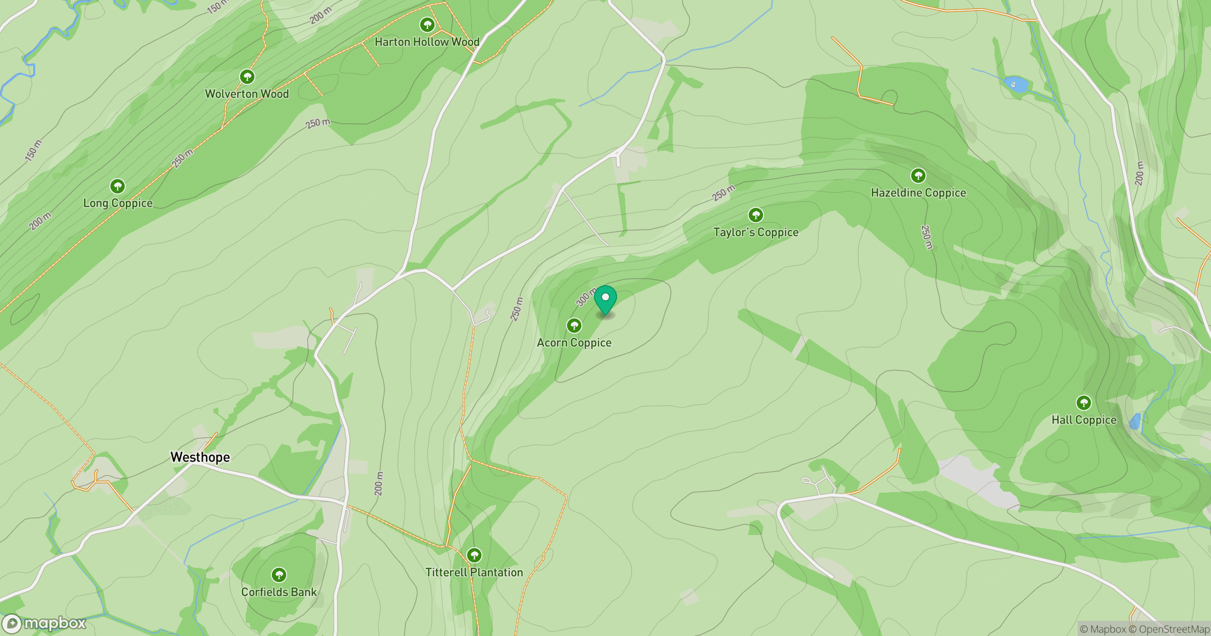
Grid reference: SO483867
View on OpenStreetMapOpens a map in a new tab, centred on the hill.
Hills within 30 km
Straight-line distance, not a walking route or confirmation of access.
Long Mynd - Pole Bank
517m
Titterstone Clee Hill
533m
Stiperstones
537m
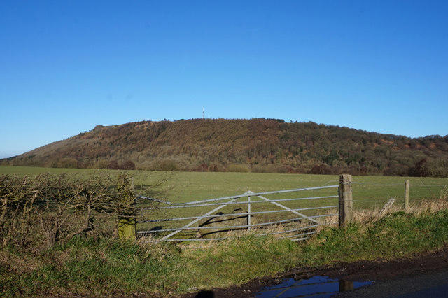
The Wrekin
407m
Callow Hill
340m
No comments yet. Be the first.