
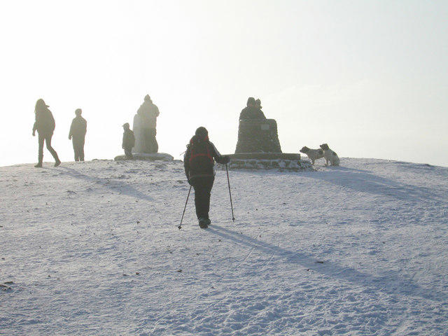
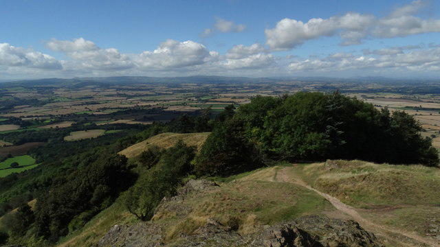
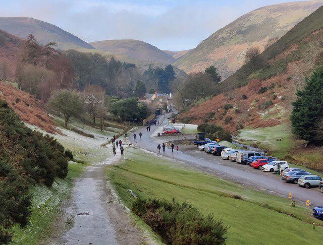
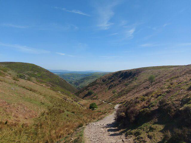
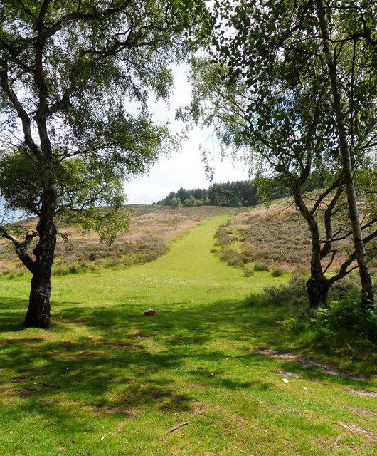
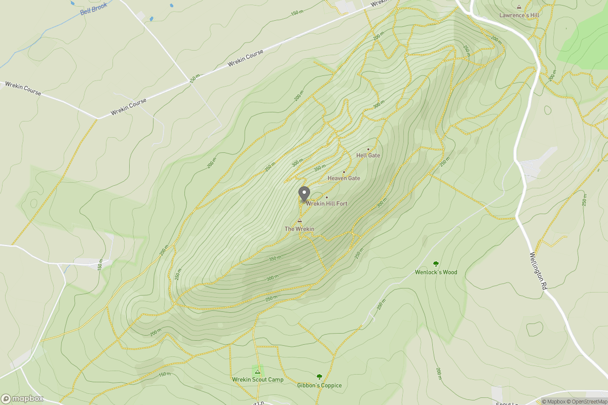
Upland / Hill
Circular
Medium
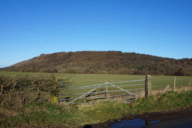
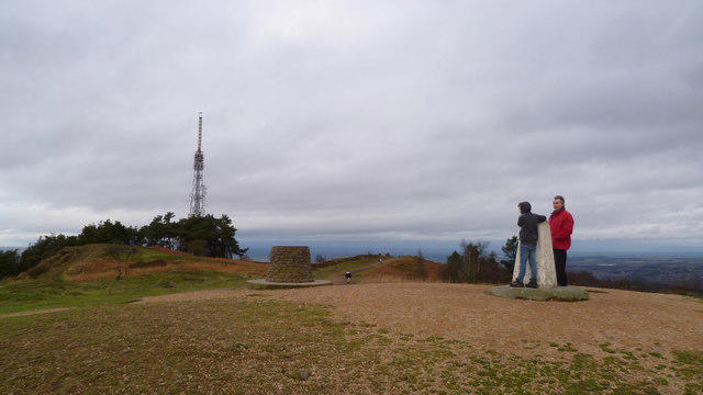
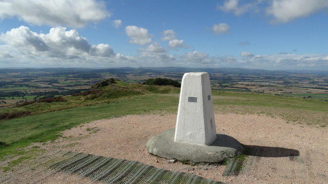
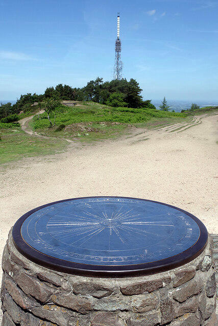
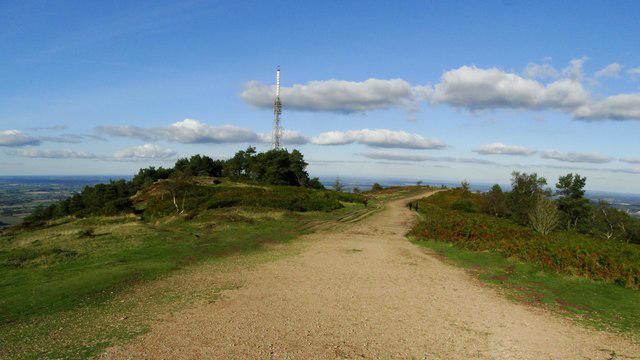
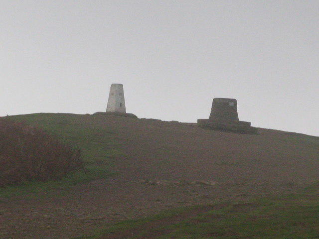
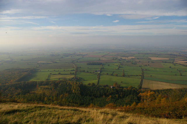
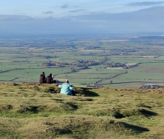
The Wrekin Circular
PaulWalkmates
Walk organiser
No comments yet. Be the first.