
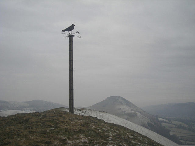
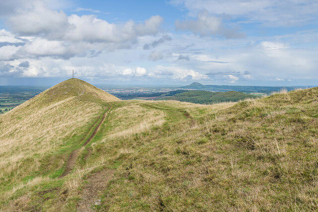
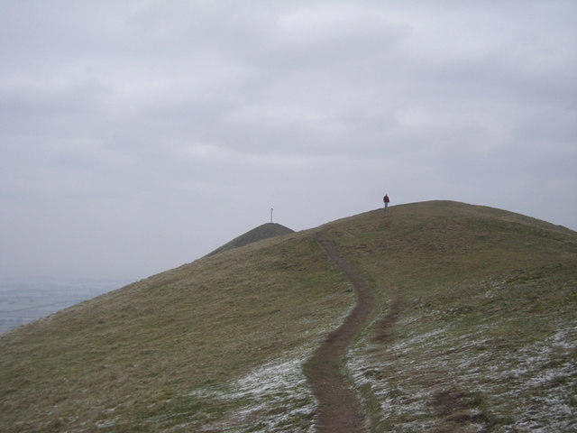
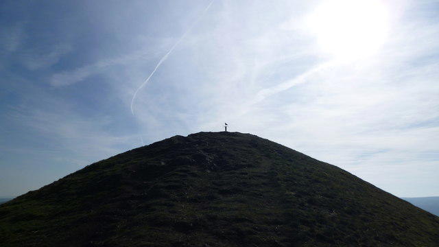
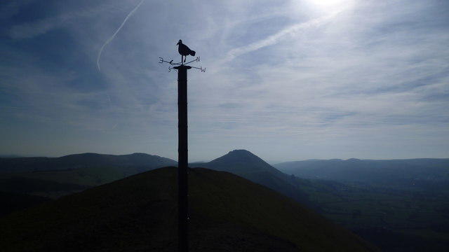
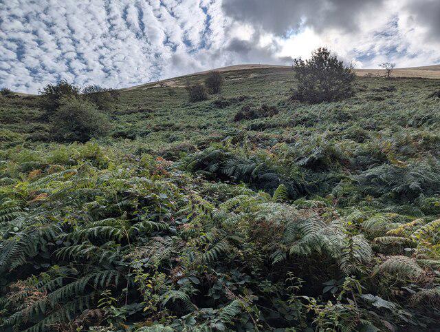
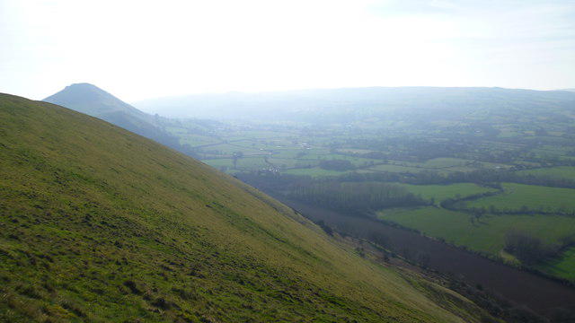
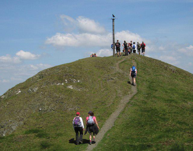
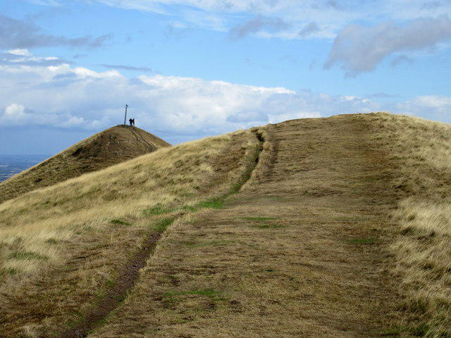
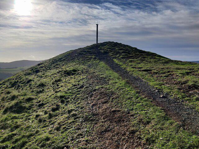
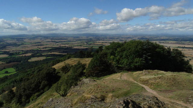
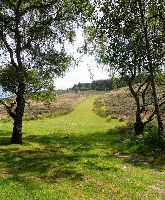
Upland / Hill
Circular
Medium
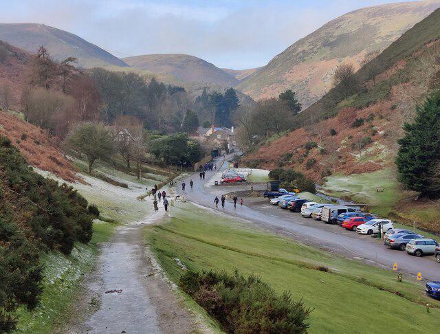
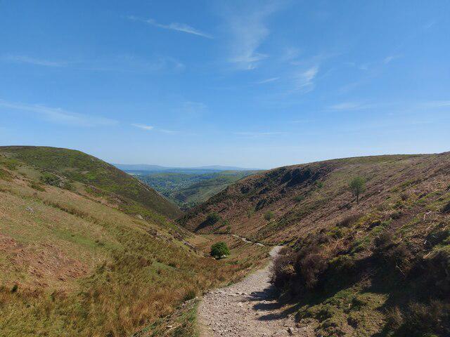
Carding Mill Valley and The Long Mynd walk
PaulWalkmates
Walk organiser
No comments yet. Be the first.