

Middlehope Hill
Good walks are even better shared.
Overview
Middlehope Hill
Overview
Middlehope Hill rises to a modest elevation of 133 meters, but don’t let its height fool you; it’s a gem nestled in the Shropshire Hills, providing spectacular views and refreshing walks for everyone, from families to seasoned hikers looking for a gentle challenge.
Geology
The hill is predominantly sandstone, giving its terrain a rugged yet inviting character. This geological makeup allows for stunning rock formations along the route, offering the perfect backdrop for adventurous photographs.
Routes
A popular way to approach Middlehope Hill is via Clee Hill Road, which offers an easy yet enjoyable trek lasting around an hour and a half with stunning views to boot. Perfect for a leisurely stroll or an afternoon jaunt!
Summit Features
At the summit, you’ll be greeted by a trig point standing stubbornly against the elements. It's a favourite spot for many hikers to take that all-important summit selfie — proof that you’ve bravely battled your way to the top!
Terrain
Expect a mix of grassy inclines and scattered rocky areas. The path can become a bit slippery after rainfall so keep your footing sharp and your sense of humour sharp too — it’s all part of the fun!
Views
From the top, breathtaking views stretch out over the landscape, showcasing the spectacular Welsh border hills and on a clear day, your eyes might even drift towards the Brecon Beacons. The best times for capturing these views are in spring and autumn, where the colours transform the horizon into a painter's palette of vibrant hues.
Hazards
While the walk is mostly forgiving, be cautious of sudden weather changes and watch your step on uneven terrain. Remember, the Shropshire Hills are known for their quick mood swings — unpredictable weather is part and parcel of the experience!
Nearby Summits
Just a stone’s throw away are other notable summits such as Clee Hill and Haughmond Hill, each providing their own unique quirks and trails for further exploration.
Access
Getting to Middlehope Hill is straightforward. The nearest parking is available at the Clee Hill car park, and for those considering public transport, buses stop at Diddlebury, about 5 km away.
Facilities
While facilities near the hill are limited, head into Ludlow for delightful cafes and essential amenities to refresh after your adventures.
History
As for its name, Middlehope Hill suggests its position between valleys, while historically, the area is intertwined with ancient trades and settlements — and who doesn’t fancy a slice of that history?
In conclusion, whether you’re gearing up for a solo adventure, a family trip, or simply want to enjoy a pleasant walk in nature, Middlehope Hill welcomes all with open arms. Just don’t forget your camera!
Explore routes near Middlehope Hill
Public walks starting within 80 km of this hill. Nearby does not mean a route reaches the summit; check its map and access before setting out.
Carding Mill Valley and The Long Mynd walk
View route
Lightspout Waterfall via Carding Mill Valley Circular
View route
Ludlow Town Walls and Castle Walk
View route
Mortimer Forest Lower Evens Circuit
View route
Route planning notes
These notes describe possible approaches, not verified navigable routes or permission to cross land. Check current paths, local access rules and conditions before setting out.
Clee Hill Road
This route meanders along Clee Hill Road, providing an easy ascent with plenty of opportunities to gaze at the surrounding countryside.
Make a day of it, together
Find someone to share the walk with, or organise a day out along a route you like.
Photo Gallery
View all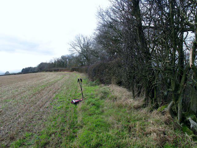 Photo could not load
SO5088 : Middlehope Hill
Rude Health
Hill facts and local notes
Classifications
Elevation
325m
1,067 ft
Prominence
117m
Coordinates
52.4943, -2.7275
SO507887
OS Map
137 138
Explorer: 217
At the Summit
The summit features a prominent trig point, which is a fantastic spot for a selfie - especially if you want to convince your friends you’ve 'conquered' a hill!
Terrain & Geology
Middlehope Hill is primarily composed of sandstone, offering a lovely mix of rocky outcrops and grassy slopes, typical of the Shropshire Hills.
Views & Scenery
Panoramic views of the Welsh border hills, plus on a clear day, you might even catch a glimpse of the Brecon Beacons way off in the distance.
History & Heritage
Name Origin
The name Middlehope Hill suggests its position between the valleys and hills, harmony in nature, as well as the word 'hope' meaning an area of enclosed land.
Historical Significance
This area has a rich history, being part of ancient trade routes and surrounded by remnants of Bronze Age settlements.
Getting There & Facilities
Check current local access restrictions, parking rules and transport timetables before travelling. These notes do not confirm public access to the summit.
Parking
There’s parking available at the Clee Hill car park, just a short walk from the foot of the hill.
Public Transport
The closest bus stop is in the village of Diddlebury, roughly 5 km away, so plan your trek accordingly or consider a taxi.
Nearby Facilities
Facilities are limited near the hill; however, Ludlow offers a variety of cafes and essential public toilets.
Safety Information
Known Hazards
- Keep an eye out for sudden weather changes, as the Shropshire Hills can be a bit temperamental. Also, be mindful of uneven footing and slippery rocks, especially in damp conditions.
General Safety Tips
- Check weather conditions before setting out
- Carry appropriate clothing and equipment
- Let someone know your planned route
- Take a map, compass, and GPS device
- Carry emergency supplies: food, water, first aid kit, torch
Hills
Some common questions about the hills answered
Are there group walks up Middlehope Hill?
Many walkers use Walkmates to join or organise walks with others. You can check for group walks around Middlehope Hill through the maps
Are there other walkers around Middlehope Hill?
Activity varies by location and time, but Walkmates lets you see whether others have shared walks or shown interest in this area. Find other people through the walking friends search walking friends for Middlehope Hill search or of course create your own walk for Middlehope Hill
Can I organise a walk to Middlehope Hill?
Yes. If there aren’t any walks listed already, you can create a walk and make it available for others to join.
If you're signed up to Walkmates, you can create a walk to Middlehope Hill.
How do I find a walk up this hill?
There are often multiple ways to walk this hill, depending on experience and route preference. Walkmates helps you explore walks and routes that others have shared.
Can I suggest a new route up Middlehope Hill?
Yes. You can suggest or create routes to share with others. Walkmates focuses on the social side of walking, so routes are used to help people organise walks and explore areas together, rather than as detailed navigation tools or route libraries.
Other uses really appreciate knowledgeable walkers sharing their routes. Share your favourite route to Middlehope Hill here
The is an error or something incorrect about this hill. How do I let you know?
We always strive to keep the information on Walkmates as accurate as possible. If you find an error, please let us know through the contact form and we'll aim to correct it as quickly as possible
Community Discussion
Comments
Location
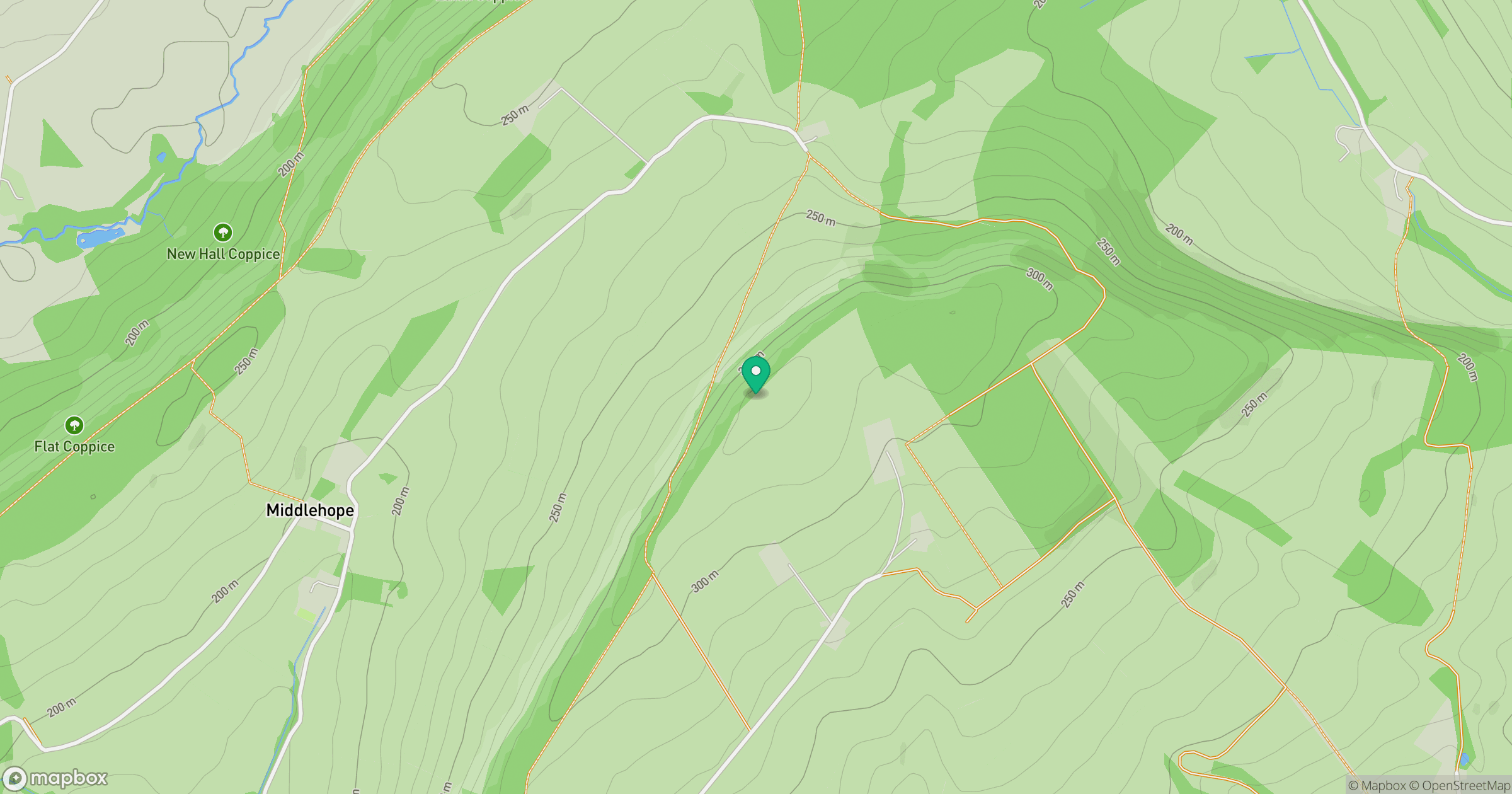
Grid reference: SO507887
View on OpenStreetMapOpens a map in a new tab, centred on the hill.
Hills within 30 km
Straight-line distance, not a walking route or confirmation of access.
Long Mynd - Pole Bank
517m
Titterstone Clee Hill
533m
Stiperstones
537m
The Wrekin
407m
Diddlebury Common
316m
No comments yet. Be the first.