
Latrigg
Good walks are even better shared.
Overview
Latrigg: The Jewel of the Lake District
Nestled in the heart of the Lake District, Latrigg offers both seasoned hikers and casual walkers an inviting ascent with spectacular views. At an elevation of 369 meters, this Marilyn provides an accessible yet rewarding hiking experience that shines throughout the seasons.
Geology
Latrigg's geological composition predominantly features volcanic rock, chiefly andesite, stemming from the Borrowdale Volcanic Group. The mountain's topography is a work of art sculpted by past glacial movements, and hiking through its paths can feel like stepping back into the geological history of this enchanting area.
Trails and Routes
Popular Routes
Latrigg Circular Walk
- Description: Starting from Portinscale, this route is a gentle introduction to the Lake District and a perfect choice for families.
- Distance: 4.5 km
- Time: Approx. 1.5 hours
- Difficulty: Easy
Cat Bells to Latrigg
- Description: This moderate trek links the famed Cat Bells with Latrigg, promising breathtaking vistas of the surrounding lakes.
- Distance: 5.8 km
- Time: Approx. 2.0 hours
- Difficulty: Moderate
Summit Features
At the summit awaits a stone cairn, a revered spot for weary trekkers to rest and take in the panoramic views. With plenty of grassy space, it's an ideal picnic site—although we hope you brought something more than stale sandwiches!
Terrain
Latrigg's terrain is predominantly grassy, with well-maintained paths that can get a bit rocky nearing the summit. It’s a walk in the park for many, but treat it with respect, and you won't be left in a pickle!
Views
The views from Latrigg are the cherry on top! On clear days, you’ll spot Derwentwater shimmering below and the towering peaks of Skiddaw standing majestically on the horizon. Sunset views are particularly magical, rendering the landscape an awe-inspiring palette of colours.
Hazards
While this hike is ideal for most, be cautious of slippery paths in the wet seasons and potential weather shifts—Lake District weather is fickle; one moment it’s sunny, the next, you’re caught in a rain shower!
Access
Nearo Parking and Transport
Accessing Latrigg is a cakewalk from Portinscale, which provides limited street parking. If you’re brave enough to hop on a bus, regular services from Keswick will whisk you to the trailhead in no time!
Facilities
After your adventure, Keswick, merely a stone’s throw away, boasts ample facilities from cafes to shops—ideal for refuelling your energy levels with a slice of cake or two.
History and Significance
The etymology of 'Latrigg' lends an air of authenticity, translating from Old Norse as 'slope'—a fitting name! Historically, it has become a popular destination in the Lake District, well-loved for its accessibility and stunning sights.
Latrigg may not be the highest mountain, but it surely holds a special charm. Whether you're a seasoned mountaineer or just fancy a stroll among some of the UK’s most breathtaking landscapes, Latrigg welcomes all with open arms.
Remember, there’s no such thing as bad weather, only unsuitable clothing! Happy hiking!
Explore routes near Latrigg
Walks starting near this hill. Open a route to check its map, distance and full itinerary.
Binsey from Binsey Lodge Direct Out and Back Wainwright
View route
Brae Fell from Longlands Wainwright
View route
Mungrisdale Common and Bowscale Fell from Mosedale Valley Wainwright
View route
Whinlatter dark skies walk
View route
Route planning notes
These notes describe possible approaches. Check a route's map and access information when planning your walk.
Latrigg Circular Walk
Starting from the village of Portinscale, this gentle circular route takes you through picturesque woodland before ascending to Latrigg's summit, offering breathtaking views along the way.
Cat Bells to Latrigg
Linking two popular peaks, this route begins at Cat Bells and crosses open moorland to reach Latrigg. It promises stunning views across Derwentwater.
Make a day of it, together
Find someone to share the walk with, or organise a day out along a route you like.
Hill facts and local notes
Classifications
Elevation
322m
1,057 ft
Prominence
66m
Coordinates
54.7089, -3.1722
NY245355
OS Map
89 90
Explorer: OL4N
At the Summit
The summit features a distinctive stone cairn, a small rock formation to commemorate climbers' achievements, coupled with a splendid viewing platform for panoramic sights.
Terrain & Geology
Latrigg is primarily composed of volcanic rocks, notably andesite, which form part of the larger Borrowdale Volcanic Group. The terrain is characterised by its ruggedness, shaped by glacial activity, with rich soil hosting diverse flora.
Views & Scenery
Derwentwater, Skiddaw, and the surrounding peaks of the Lake District, with panoramic vistas that are particularly splendid at sunset.
History & Heritage
Name Origin
The name 'Latrigg' derives from Old Norse, meaning 'slope' or 'ridge', aptly fitting for this gentle rise.
Historical Significance
Latrigg has been a beloved hiking destination, known for its accessibility and stunning views, making it a favourite for families and casual walkers.
Getting There & Facilities
Parking
Portinscale village offers limited roadside parking, with official car parks available at Derwentwater's lakeside.
Public Transport
Regular bus services connect Keswick to Portinscale, with a bus stop a short walk from the trailhead.
Nearby Facilities
Keswick offers a wealth of facilities including shops, cafes, and public toilets. The nearby lakeside also hosts picnic areas, a plus for post-hike relaxation.
Safety Information
Known Hazards
- Slippery paths in wet weather, particularly on descent; be mindful of sudden weather changes.
General Safety Tips
- Check weather conditions before setting out
- Carry appropriate clothing and equipment
- Let someone know your planned route
- Take a map, compass, and GPS device
- Carry emergency supplies: food, water, first aid kit, torch
Hills
Some common questions about the hills answered
Are there group walks up Latrigg?
Many walkers use Walkmates to join or organise walks with others. You can check for group walks around Latrigg through the maps
Are there other walkers around Latrigg?
Activity varies by location and time, but Walkmates lets you see whether others have shared walks or shown interest in this area. Find other people through the walking friends search walking friends for Latrigg search or of course create your own walk for Latrigg
Can I organise a walk to Latrigg?
Yes. If there aren’t any walks listed already, you can create a walk and make it available for others to join.
If you're signed up to Walkmates, you can create a walk to Latrigg.
How do I find a walk up this hill?
There are often multiple ways to walk this hill, depending on experience and route preference. Walkmates helps you explore walks and routes that others have shared.
Can I suggest a new route up Latrigg?
Yes. You can suggest or create routes to share with others. Walkmates focuses on the social side of walking, so routes are used to help people organise walks and explore areas together, rather than as detailed navigation tools or route libraries.
Other uses really appreciate knowledgeable walkers sharing their routes. Share your favourite route to Latrigg here
The is an error or something incorrect about this hill. How do I let you know?
We always strive to keep the information on Walkmates as accurate as possible. If you find an error, please let us know through the contact form and we'll aim to correct it as quickly as possible
Community Discussion
Comments
Location
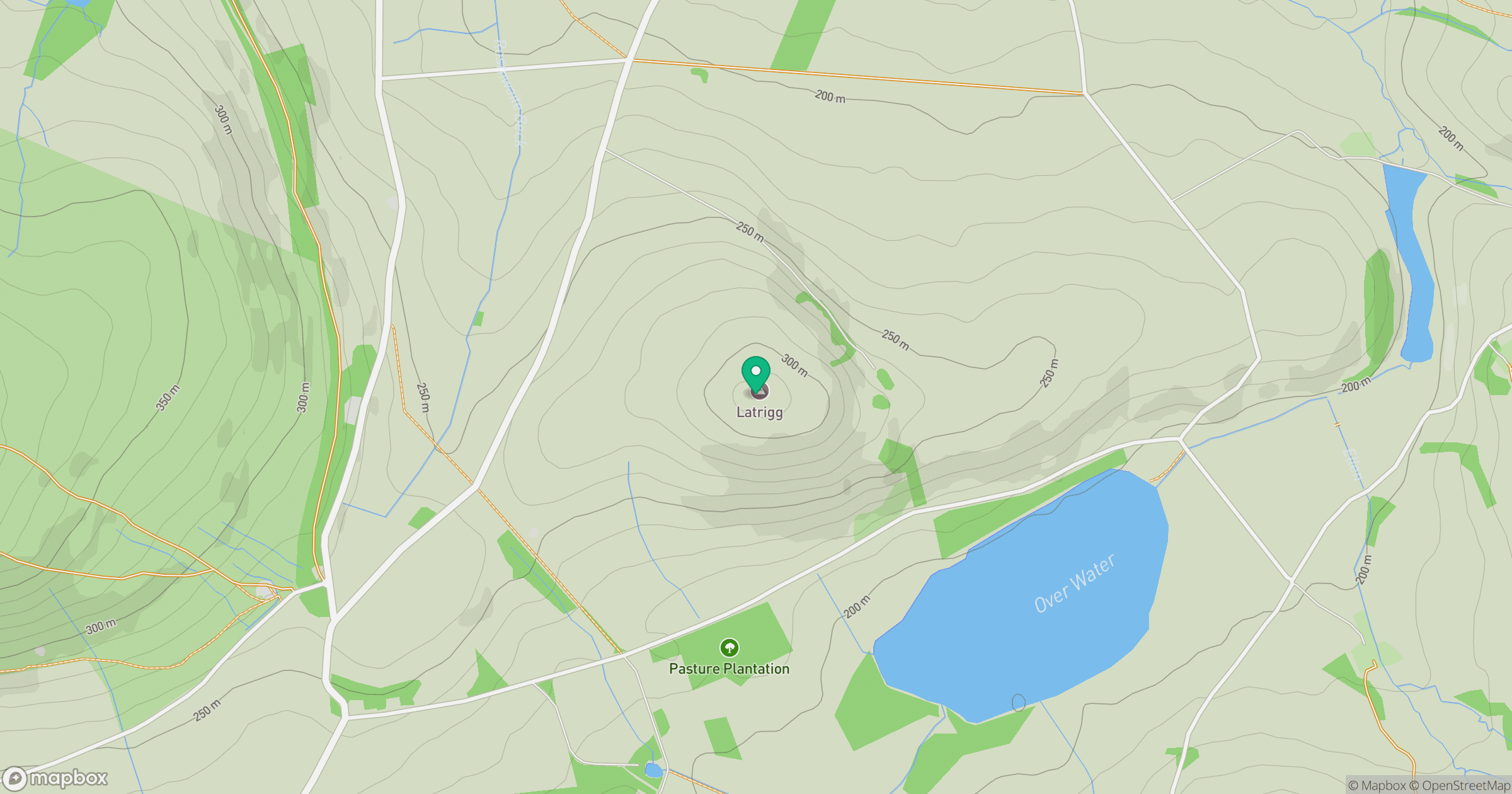
Grid reference: NY245355
View on OpenStreetMapOpens a map in a new tab, centred on the hill.
Nearby Hills
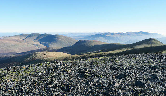
Skiddaw
930m
Grisedale Pike
790m

Blencathra - Hallsfell Top
868m
Crag Hill [Eel Crag]
839m
Grasmoor
852m
No comments yet. Be the first.