Upland / Hill
Circular
Hard
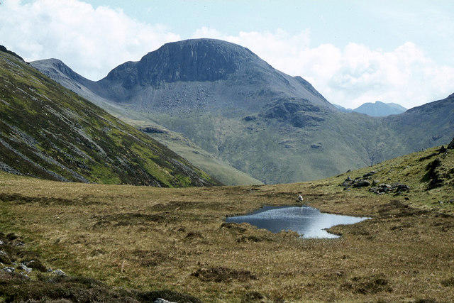
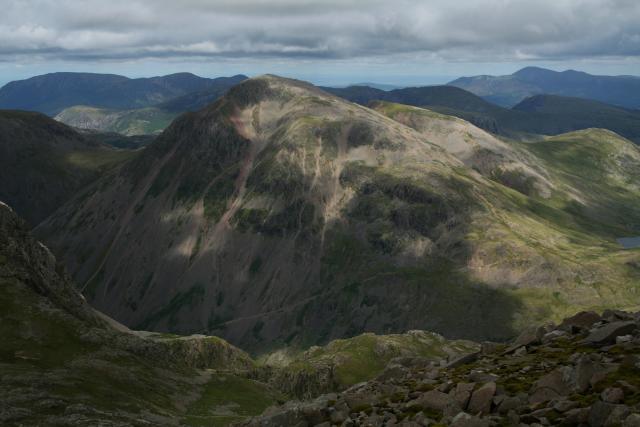
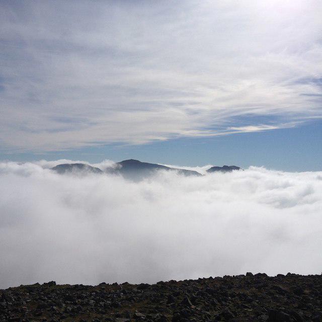
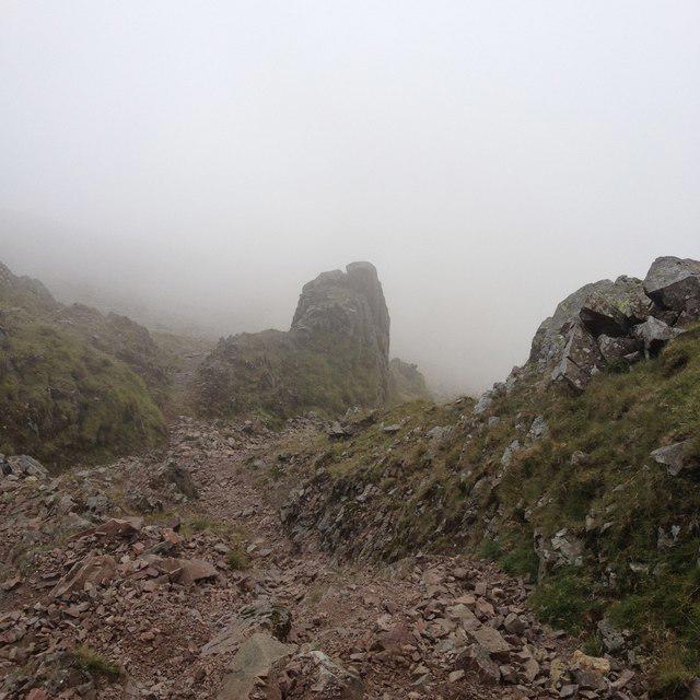
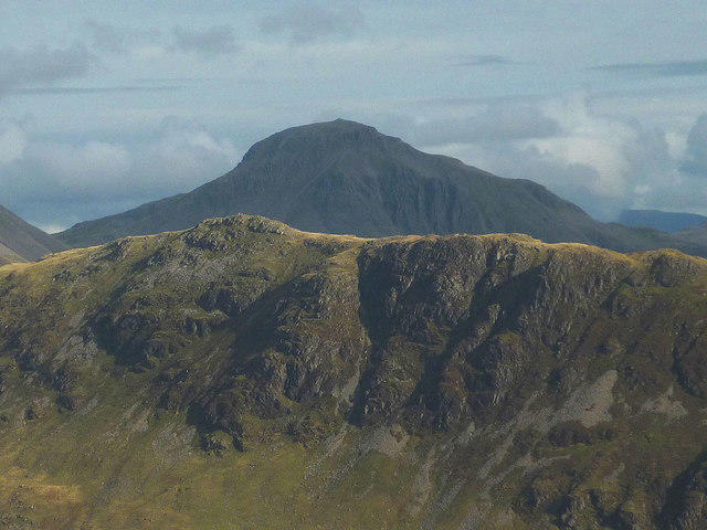
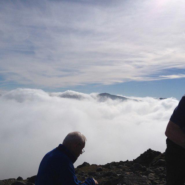
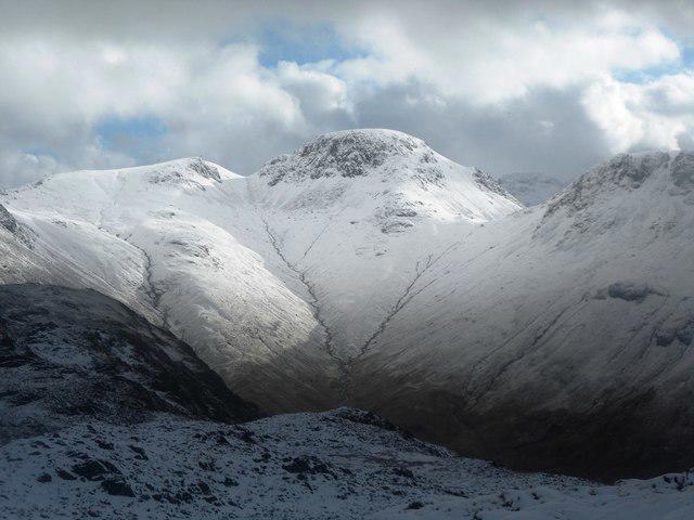
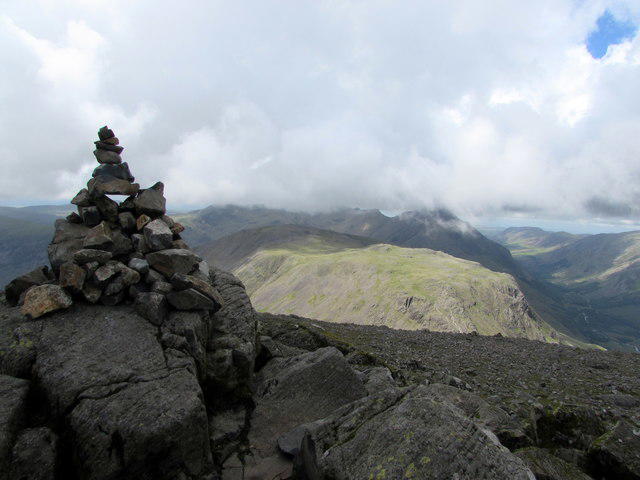
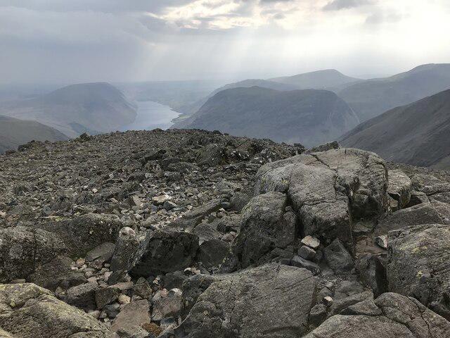
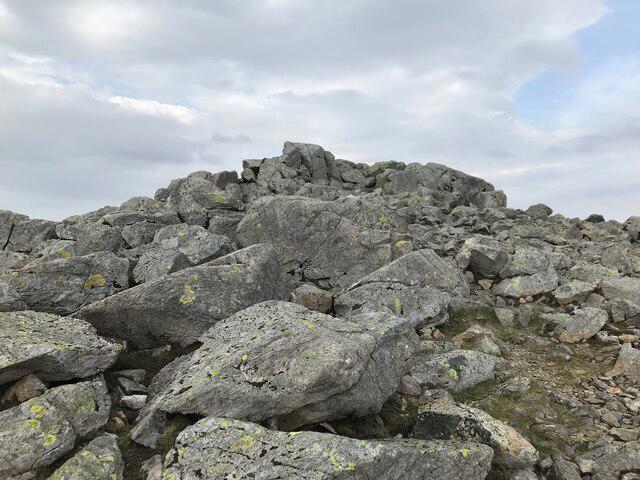
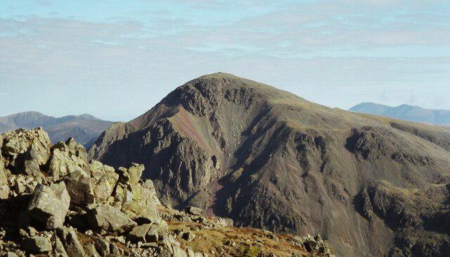
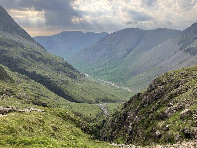
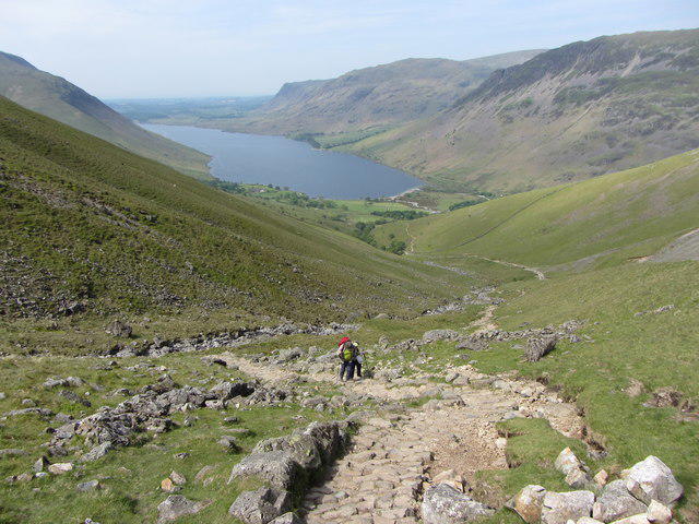
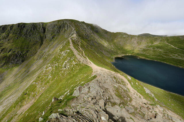
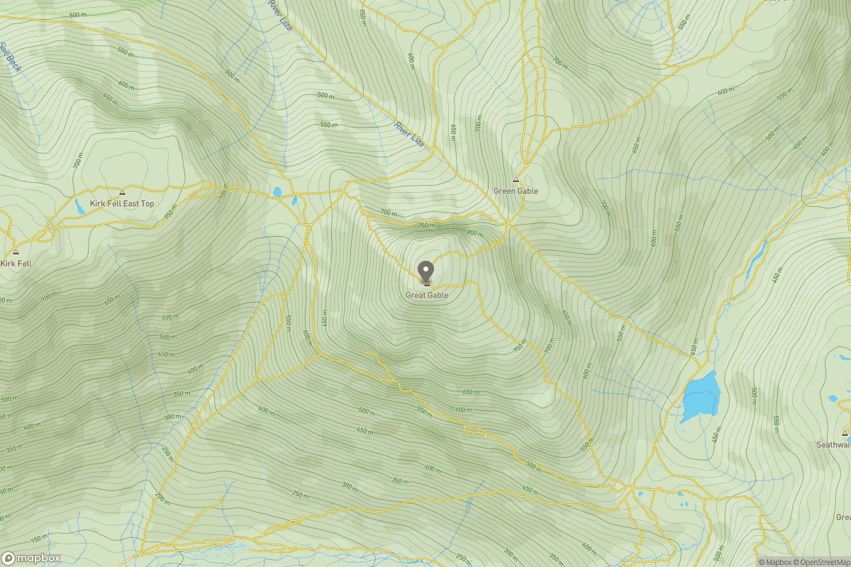
Scafell Pike from Seathwaite via the Corridor Route
PaulWalkmates
Walk organiser
No comments yet. Be the first.