

Fleetwith Pike
Good walks are even better shared.
NY2014 : Old Miners Hut, Honister Crag
Iain Lees Photo source
Overview
Fleetwith Pike rises to 648.9 m above the head of Buttermere in the Lake District’s Western Fells. Honister offers a high starting point, while Fleetwith Edge is a steeper approach with rocky scrambling steps. The summit overlooks Buttermere and Crummock Water.
Fleetwith Pike
Overview and summit
Fleetwith Pike is a 648.9 m Wainwright in the Western Fells above Buttermere. The recorded high point is a rock 5 m from the cairn at NY 20592 14166; higher ground may be concealed beneath the cairn. Views include Buttermere, Crummock Water and the surrounding fells.
Walking routes
The Honister out-and-back, Fleetwith Edge circuit and combined Haystacks circuit have different starting points and demands. See the route cards for each complete itinerary and its measurements. Every listed route visits Fleetwith Pike’s summit and returns to its own start. Fleetwith Edge involves steep rocky steps and minor scrambling. The Warnscale Head Bothy variant crosses a ford and uses a rough descent; the alternative north-bank descent omits the bothy and is not the same measured circuit.
Access and facilities
Use Gatesgarth Farm parking for the valley circuits or the mine parking at Honister Pass for the high-start route. Seasonal buses stop near Honister; check the timetable and return service. Café and toilets are at Honister’s visitor centre during opening hours. Bring drinking water. Keep to walking routes around the quarry and follow restrictions; via ferrata and other commercial attractions are separate activities.
Conditions
Carry mountain clothing and navigation equipment. Wet rock, loose gravel, wind and mist can make progress harder. Snow and ice require winter skills and equipment, particularly on Fleetwith Edge. Do not attempt the Warnscale ford in high or fast water. Allow daylight for the whole return and follow local access notices.
Geology and history
The green slate at Honister formed from volcanic-fragment rocks of the Borrowdale Volcanic Group. Old quarry tracks, tramways and workings remain visible around the fell. Mining restarted in 1997. Haystacks is a neighbouring fell; Grasmoor is a separate objective across the Buttermere valley.
Explore routes near Fleetwith Pike
Walks starting near this hill. Open a route to check its map, distance and full itinerary.
Scafell Pike from Seathwaite via the Corridor Route
View route
Scafell Pike via Brown Tongue and Hollow Stones
View route
Steeple, Scoat Fell and Haycock from Ennerdale
View route
Whinlatter dark skies walk
View route
Route planning notes
These notes describe possible approaches. Check a route's map and access information when planning your walk.
Fleetwith Pike from Honister (out and back)
Start at Honister Slate Mine. Follow the quarry track towards Drum House, then take the summit path to Fleetwith Pike. Return by the same route to Honister. The full walk is approximately 6.4 km (4 miles); allow 2–3 hours. Follow walking paths and quarry signs; the commercial via ferrata is a separate activity.
Fleetwith Pike and Haystacks from Gatesgarth
From Gatesgarth Farm, climb Fleetwith Edge to Fleetwith Pike’s summit. Descend to Dubs Hut and continue via Blackbeck Tarn and Innominate Tarn to Haystacks. Return west over Scarth Gap, then via Peggy’s Bridge to Gatesgarth. This complete circuit is 8.9 km with 758 m ascent; allow about 5 hours. Expect steep rocky steps, scrambling and careful navigation.
Fleetwith Edge and Warnscale Head Bothy circuit
From Gatesgarth, bypass Low Raven Crag on its left and climb the rocky Fleetwith Edge to Fleetwith Pike’s summit. Continue over Black Star, then descend quarry tracks to Dubs Hut. Ford Warnscale Beck, visit Warnscale Head Bothy and descend the rough path to the lower footbridge; follow farm tracks back to Gatesgarth. The full circuit is 7.4 km with 589 m ascent. The ford may be impassable in spate. The north-bank descent from Dubs Hut is a different, shorter alternative without the bothy; these metrics describe the ford-and-bothy route.
Make a day of it, together
Find someone to share the walk with, or organise a day out along a route you like.
Photo Gallery
View all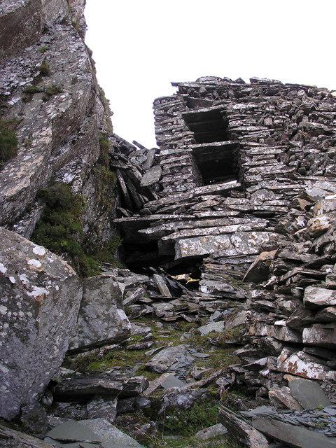 Photo could not load
NY2014 : Old Miners Hut, Honister Crag
Iain Lees
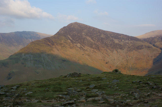 Photo could not load
NY2014 : Fleetwith Pike
Ian Greig
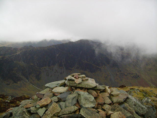 Photo could not load
NY2014 : Summit Fleetwith Pike
Michael Graham
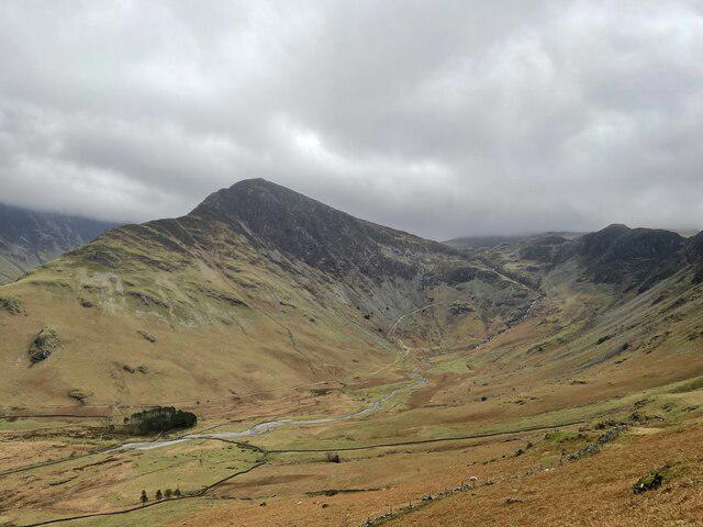 Photo could not load
NY2014 : Fleetwith Pike
Chris Thomas-Atkin
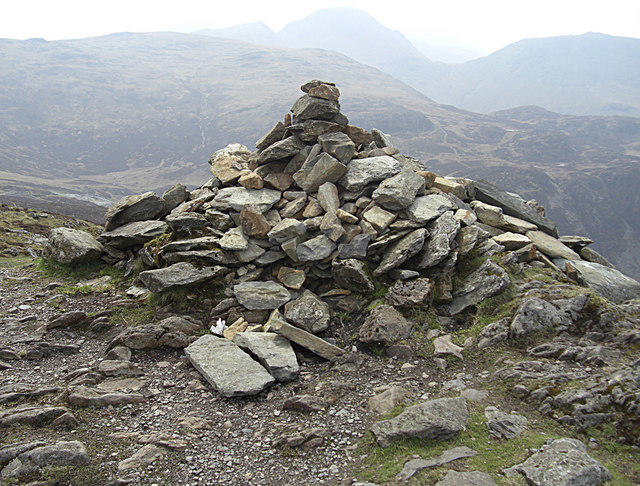 Photo could not load
NY2014 : Summit cairn, Fleetwith Pike
michael ely
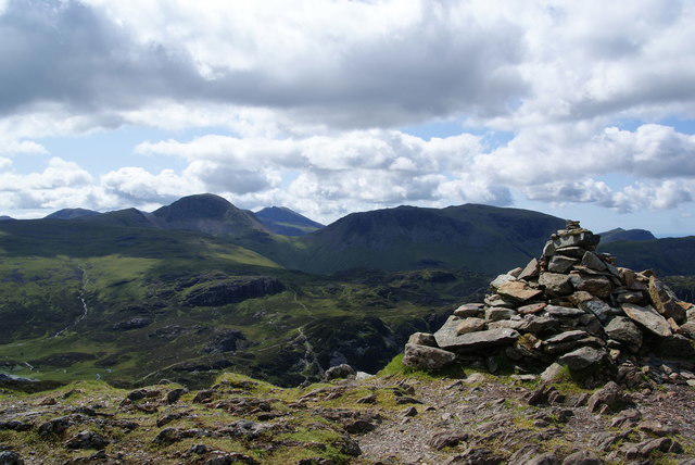 Photo could not load
NY2014 : The top of Fleetwith Pike
Bill Boaden
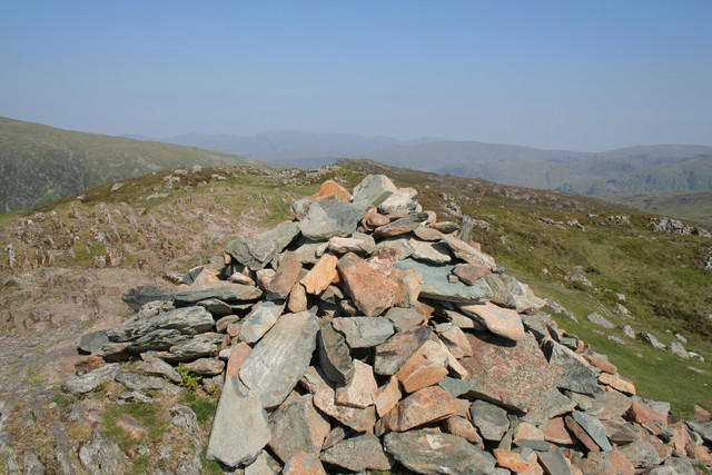 Photo could not load
NY2014 : Summit Cairn, Fleetwith Pike
Mark Anderson
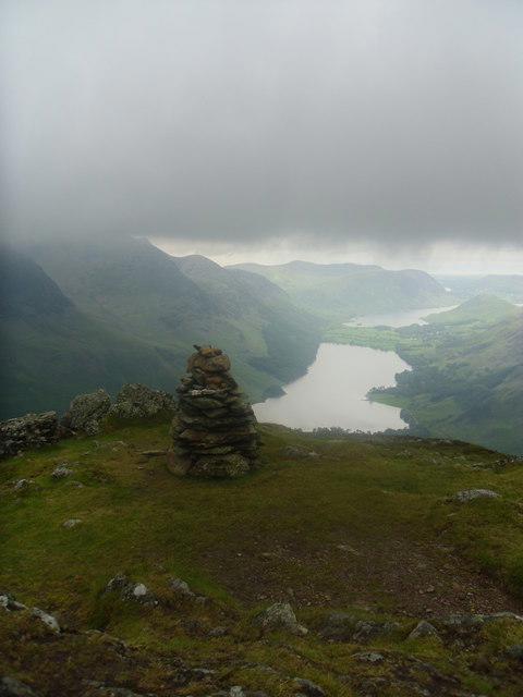 Photo could not load
NY2014 : Summit cairn on Fleetwith pike.
steven ruffles
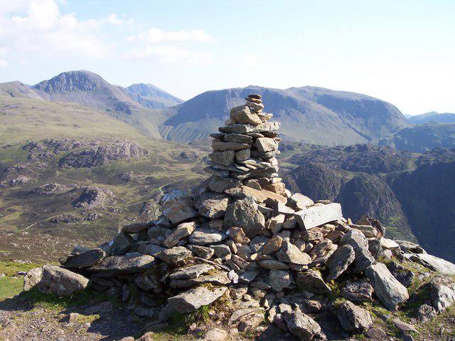 Photo could not load
NY2014 : Summit cairn on Fleetwith Pike
Raymond Knapman
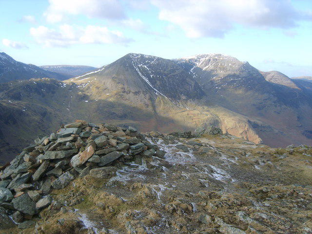
NY2014 : On Fleetwith Pike
Michael Graham
Hill facts and local notes
Classifications
Elevation
649m
2,129 ft
Prominence
118m
Coordinates
54.5166, -3.2282
NY205141
OS Map
89 90
Explorer: OL4S
At the Summit
Rock 5 m from the summit cairn at NY 20592 14166. DoBIH notes that higher ground may be concealed beneath the cairn; there is no summit trig point recorded.
Terrain & Geology
Honister’s green slate is cleaved volcanic-fragment rock of the Borrowdale Volcanic Group, particularly the Eagle Crag Member of the Birker Fell Formation. The slate workings extend into the mountain as well as across its slopes.
Views & Scenery
From the summit, enjoy breathtaking views of the surrounding lakes, including Buttermere and Crummock Water, as well as the towering peaks such as Haystacks and the High Stile Ridge.
History & Heritage
Historical Significance
The slate workings and old tramways are prominent features around Honister. The mine reopened in 1997, and a commercial via ferrata followed in 2007. These attractions are separate from the ordinary summit walking routes.
Getting There & Facilities
Parking
Paid parking at Gatesgarth Farm, NY194149, for the valley circuits. For the Honister route, use the slate mine car park at the top of Honister Pass. Honister currently lists £5 day parking after the first free hour; check signs on arrival. Buttermere village parking is farther from these starts.
Public Transport
Seasonal Honister Rambler buses serve YHA Honister Hause near the mine. Check the current timetable and last return before planning a bus-based walk; do not assume year-round service.
Nearby Facilities
Honister Slate Mine has the Bait Cabin café and toilets in its visitor centre, subject to opening hours. The operator says mains drinking water is unavailable, so carry water. These facilities are at Honister, not Gatesgarth Farm.
Safety Information
Known Hazards
- Fleetwith Edge has steep rocky steps requiring hands, loose ground and cliffs close to the path.
- Mist can make route-finding difficult across the upland paths and quarry tracks. Keep clear of restricted workings and follow local signs.
- The Warnscale Head Bothy circuit crosses a ford: do not attempt it when water is high or fast.
Seasonal Hazards
Wet rock and loose gravel require care. Snow or ice makes the steep ridge substantially more serious; choose a route suited to your skills and equipment. Check the mountain forecast and allow enough daylight for the return.
General Safety Tips
- Check weather conditions before setting out
- Carry appropriate clothing and equipment
- Let someone know your planned route
- Take a map, compass, and GPS device
- Carry emergency supplies: food, water, first aid kit, torch
Hills
Some common questions about the hills answered
Are there group walks up Fleetwith Pike?
Many walkers use Walkmates to join or organise walks with others. You can check for group walks around Fleetwith Pike through the maps
Are there other walkers around Fleetwith Pike?
Activity varies by location and time, but Walkmates lets you see whether others have shared walks or shown interest in this area. Find other people through the walking friends search walking friends for Fleetwith Pike search or of course create your own walk for Fleetwith Pike
Can I organise a walk to Fleetwith Pike?
Yes. If there aren’t any walks listed already, you can create a walk and make it available for others to join.
If you're signed up to Walkmates, you can create a walk to Fleetwith Pike.
How do I find a walk up this hill?
There are often multiple ways to walk this hill, depending on experience and route preference. Walkmates helps you explore walks and routes that others have shared.
Can I suggest a new route up Fleetwith Pike?
Yes. You can suggest or create routes to share with others. Walkmates focuses on the social side of walking, so routes are used to help people organise walks and explore areas together, rather than as detailed navigation tools or route libraries.
Other uses really appreciate knowledgeable walkers sharing their routes. Share your favourite route to Fleetwith Pike here
The is an error or something incorrect about this hill. How do I let you know?
We always strive to keep the information on Walkmates as accurate as possible. If you find an error, please let us know through the contact form and we'll aim to correct it as quickly as possible
Community Discussion
Comments
Location
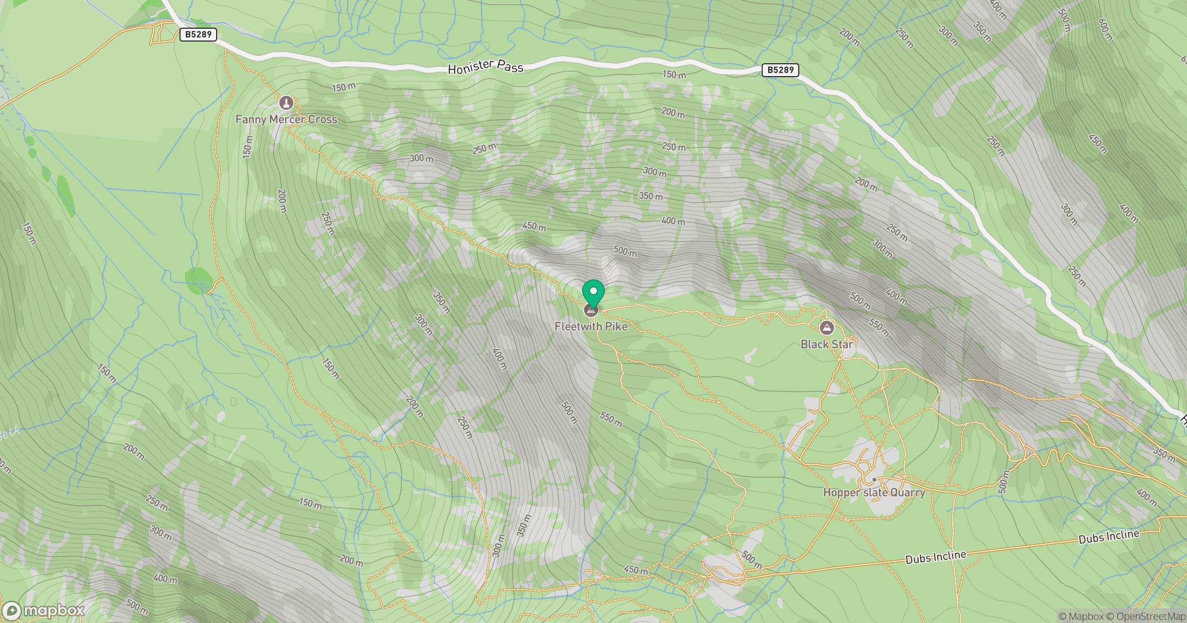
Grid reference: NY205141
View on OpenStreetMapOpens a map in a new tab, centred on the hill.
Nearby Hills

Great Gable
899m
High Stile [Grey Crag - High Stile]
806m
Pillar
892m
Crag Hill [Eel Crag]
839m
Scafell Pike
978m
No comments yet. Be the first.